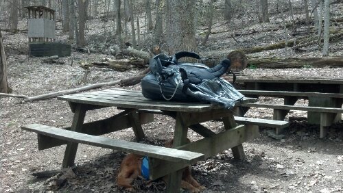
I woke up the next morning in my hammock. I left it set up, and emptied my backpack into it. I put Copper on the floor inside the shelter (one of the earliest lean-to-style shelters I saw, complete with deacon seat separated from the sleeping shelf by a gap to trap porcupines–Copper had come in limping the night before so I figured he’d be happier sleeping in all day and recovering), and walked my empty pack into Kent. Continue reading
Tag Archives: #magic
Even More Rain, Even More Rocks, Out Of Pennsylvania
So, when I left off writing two weeks ago, I was in Palmerton, PA, June 1st. I woke up in the Jail House Hostel fairly early, and immediately crossed the street for the laundromat to put a load in. Then, I got into the diner with a line of other hikers (Rolling R and the Aussies were there) to get breakfast. Although, I planned to be in town most of the day, I was still hungry early and all slept out.
Pennsylvania Rocks
I woke up in Rausch Gap before the other two hammockers. I walked down to the (recently-restored) shelter and said hello to the one hiker who stayed there, and admired the spring, which came right out of the retaining wall and landed in a large metal tray inches from the shelter. I greeted the bees who had taken over the shelter and used the privy. I drank my breakfast and returned to camp, packing up and leaving before the other hammockers had even gotten up.
Rausch Gap, it turns out, was once a thriving coal mining and railroad parts repair community in the late nineteenth century. The mining was poor and the railroad moved operations elsewhere, so it wasn’t long before the community disappeared. The road still running through where it stood and an old cemetery is just about all that remains.
Things go very fast for me for the next few days. This morning, I was down to the road in just a few hours. I had to go through a meadow, over a road, beside a creek (where I stopped to collect water), under a road, over a pedestrian bridge, and under the highway (which towered above me on stilts). By the time I climbed halfway up the hill, it was sweltering out and time for my afternoon nap. I hung in my hammock for four hours or so, checking messages and getting forty winks. I weather a short afternoon storm, and then when it felt like it was starting to cool off, I packed up and headed on, hoping to get to 501 Shelter that night.
Until Copper Goes
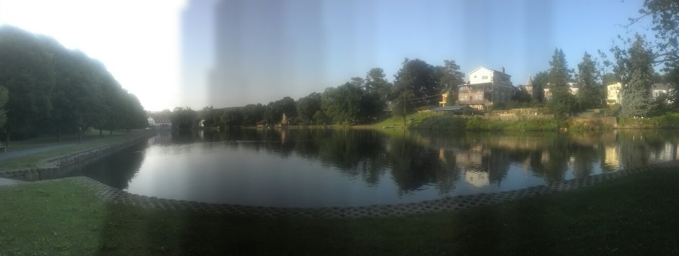
I woke up in Boiling Springs fairly near first light, or at least well before Packman and friend woke up. The other fellow in the campground was up about the same time. He finished packing up before me, but then, he didn’t have a dog to feed. Copper finally got an opportunity to see Boiling Springs, and since I was in no rush to get to beer this time, I took advantage of the morning light to get some good pictures of the Children’s Lake and its surroundings.
Cruisin’…Slowly
Derecho’s effects were meant to be felt most strongly in the following afternoon, so I decided I would try to get a taxi to the post office and back to the trailhead the following morning, which meant I needed to get some resupply that night. There was a Save-A-Lot down the street from Gus and Ted’s, but it was quite a trek by the time I delivered the hot wings back to the room and fed Copper. In fact, after I walked the mile back there, it had closed, and so had the adjacent laundromat, so there was no possibility of washing clothes that night with real detergent. I took a different street back to the hotel, and managed to pass a Turkey Hill, a convenience store owned by Kroger and stocked with a small selection of Kroger brand foods. So I added some dinners and snacks and grabbed a gallon of green tea to eat with my hot wings and went home to wash my clothes with Softsoap in the bathtub. I never felt like eating dinner; the hot wings went untouched.
The next morning, I walked to the breakfast nook in a brooding cloud, and by the time I got my waffle and bagel and cereal made, it had started thundering. I took the food back to the room to give Copper some comfort from the thunder, but he seemed fine. After breakfast, I called the post office. They said they hadn’t gotten my package from Steph yet. I cursed a bit and went down to the lobby to drop another 80 bucks. The storm stopped within an hour and no more of Derecho’s cells came through that day, so the US Postal Service was entirely responsible for my taking a zero.
Almost Heaven: West Virginia, Blue Ridge Parkway, Shenandoah NP
This is probably going to be a long post. It covers a week and a half, but all that went by very fast because I hardly stopped for anything, so I doubt my part will be particularly long, but when added to my mom’s account it will surely add up.
So, of course I slept late the day after I was picked up in Rockfish Gap. I barely caught the tail end of the included breakfast buffet at the Residence Inn. I had thought to walk 15 miles this day from Wildcat Ridge trailhead, but it was so late by then time we got into the park, I shortened it to 10 miles. I think I was dropped off at Sawmill Run Overlook at around 1pm to slack the 10 miles back to Rockfish Gap by 6pm. Very little happened aside from the walking, which, as the south end of the park is so narrow, mostly ran adjacent to (and frequently crossed) the Skyline Drive. The Skyline Drive is actually the same road as the Blue Ridge Parkway, having been built as part of the same project in the same fashion, but for some reason it gets a different name while it is inside the park.
I stopped in to Calf Mountain Shelter to eat the leftover pizza I’d packed in, and found the fire going, which I knew meant that Cody Coyote would be there cooking lunch. I managed to catch up to him because someone had gifted him a large quantity of alcohol and so he had holed up in the abandoned motel at Rockfish Gap until such time as the alcohol had all been drunk, which meant about four consecutive zeros for him. This is why he goes no faster than me despite doing nothing but twenties when hiking.
On my way out, I bumped into Lauren, who you may recall I spent the night with in Iron Mountain Shelter. I asked her how she felt, because I’d read her account of her and Sweet Tea’s bout with the stomach bug in the Wolfe shelter log. They’d had to zero there because of it, and she zeroed again in Waynesboro to recover. She still looked a bit worse for the wear, and I didn’t want to touch her since some strains leave one contagious for up to two weeks, but I have to admit I was somewhat glad to actually be catching up to people I thought had long since left me behind.
The only other events that marked that day were passing a huge patch of Pink Lady’s Slippers on the back side of Bear Den Mountain (a hill with a cluster of cell towers on top) and passing Broken Pack just before making it back to Rockfish Gap. I hopped back in the car just before it started raining. I only took one photo the whole day:
Expectations Annihilated
Sorry this post was so long in coming. I’ve actually been in Pearisburg for almost 29 hours now, as I was informed upon reaching cell service land that my website was down. Well, it took most of a zero day and three support tickets to get it working again, but I think everything is back to normal now. “Now” is the middle of the night, and it looks like I’m going to have a very late one getting this written and an early morning washing clothes and a dog tomorrow.
When I uploaded the last post, I was sitting at The Barn in Atkins, finishing my lunch. I left there and moved quick trying to make it fifteen miles before the rain. It was pretty warm out, but we stopped only long enough to get a picture of this privy and torn-down shelter marking the approximate spot 1/4 of the way from Springer to Katahdin.
Virginia Highlands: Losing and Regaining
I am now 370 miles into my hike and have between five and six times that much to go from here, so hurray for being more than 1/6 done! Also, I have my trail legs now and the weather is finally perfect for hiking. I am also about 80 miles into VA and all I can say is: wow. Privies everywhere!
It was 8pm by the time I posted last and headed out of Damascus. It was almost dark, so as soon as the AT crossed the road and went upstairs, I pulled out my headlamp. We probably walked 5 miles before arriving at a stream where another trail crossed and a tiny stony campsite with barely enough space for my tent. I couldn’t stake it out properly, but Comet had said not to expect rain and indeed it was a clear night the whole time we hiked, and the temperatures were perfect. So I left the rainfly off to get the cool air flowing through, put Copper inside, and went right to sleep.
Copper woke me at 3am and I soon heard why. Thunder! Lightning! It was a huge electrical storm. But Copper and Stevie Nicks both seemed to think it would rain, so I stumbled outside barefoot and put the rainfly on. Of course, I couldn’t stake it out right either because of the stones and the fact that I was stumbling around barefoot in the dark while the stakes were inside.
If You Don’t Stop Blowing Rock, I’ll Kick Your Damascus It’d Be A Boone To Humanity
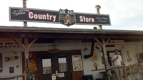
When Copper and I got to the car, mom and Renea refused to touch us for fear of catching some dread disease. We first rode to Shady Valley for a delicious pickle from the Country Store then on to Auntie’s Cottage in Damascus, right off the AT.
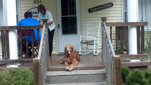
Snowblazin’
Clay, who, with his wife Karla, played spades with me and Katfish my last night at Hemlock Hollow, taught me how to make panoramic pictures with my phone that night, so this post will be full of them. Hope they fit on your screens.
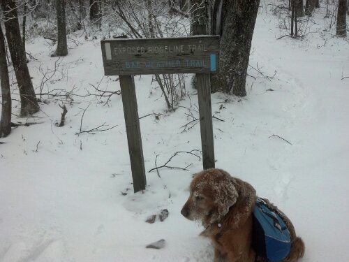
I woke up early that next morning and got my coffee and breakfast, settled up, and packed. Around 9:30, I got a free ride to the trailhead. It hadn’t been snowing too long, as there was only around an inch on the ground. For the first couple of miles, the only footprints were those made by me and Copper until we were passed by Zippy and Ditto, who had spent the night at the last shelter before the gap. I caught up to them at Little Laurel Shelter and we chatted over lunch. I told them I’d be pushing on to Jerry Cabin Shelter that night, and they made noises about doing the same. We also discussed the upcoming decision of whether to take the trail along the exposed ridge the AT follows over Fireskald Mountain, or to take the Bad Weather bypass trail because of the snowstorm. I knew I would be staying off that ridge, but apparently I was the only one who avoided it, because I was snowblazing the bad weather trail (or Packgrabber Trail, as it should be called because of all the low-hanging laurels I had to duckwalk under) when I got to it.

