
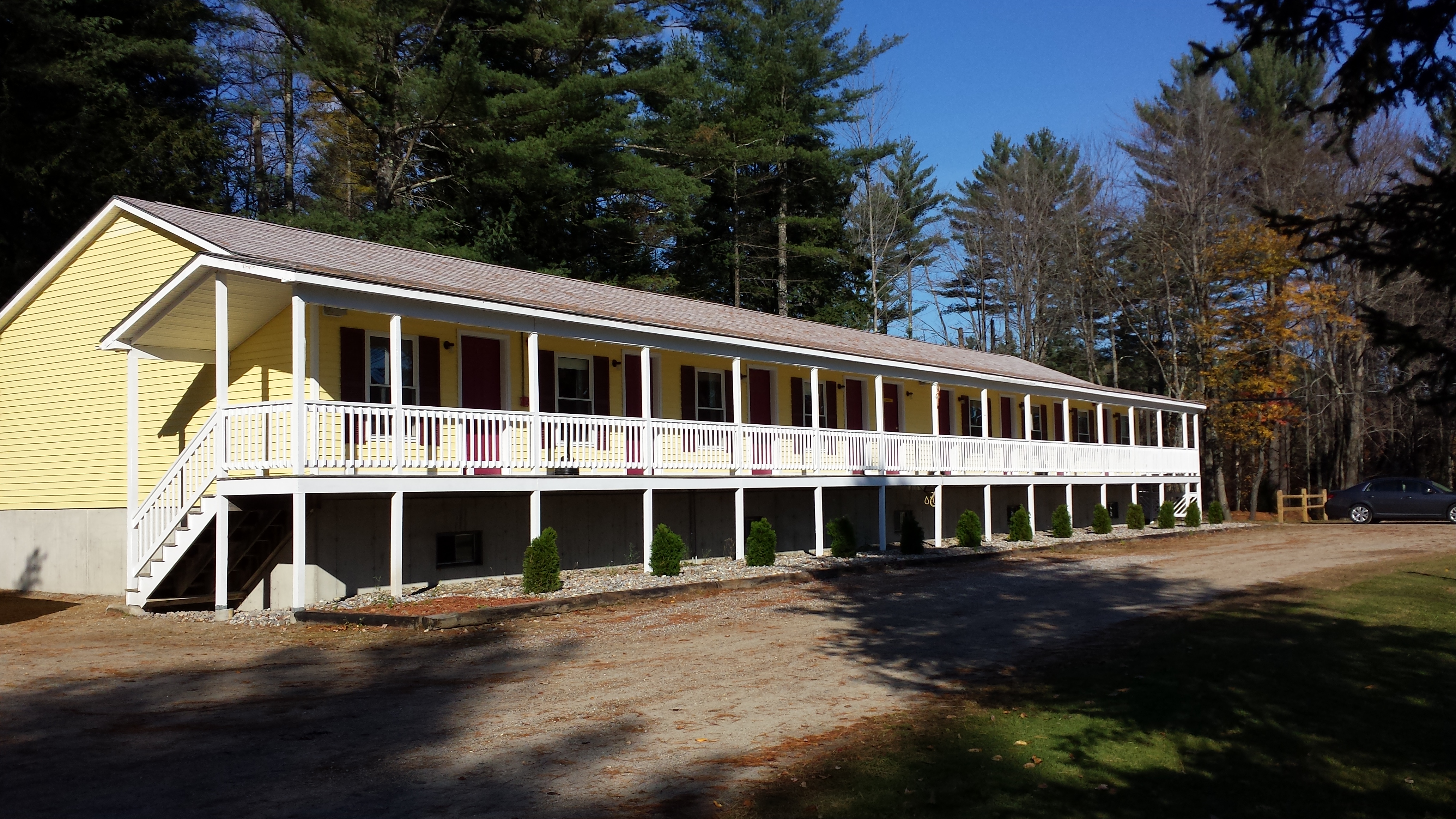
During our 45-minute meeting on the side of the road, as action-packed as it was, my parents had a few moments to spare a word or two about the cottages they’d been in the past two nights (and in which I would spend that night). They sounded nice, but I was a hiking fool. I looked and smelled like I needed a shower, but I felt rested and energized and ready to hike my greasy head across another 13 mile stretch. The range of elevations would be only 1300 feet, with the change spread out over the whole day, and I was ready for an easy day. (Compare this with the multiple 2500 foot elevation changes of the previous day.) In fact, it would be even easier than it looked: the terrain was downright pleasant.
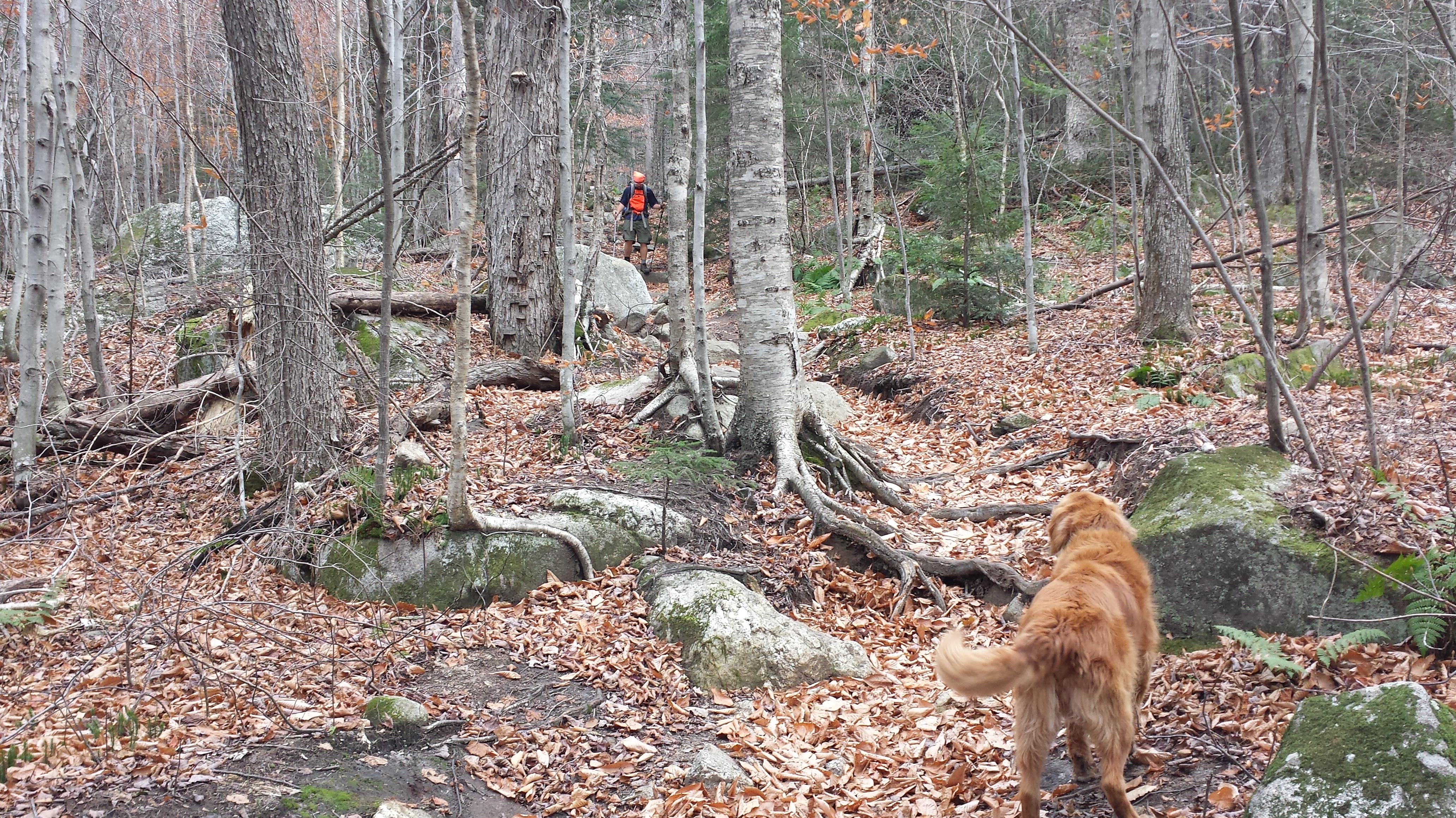
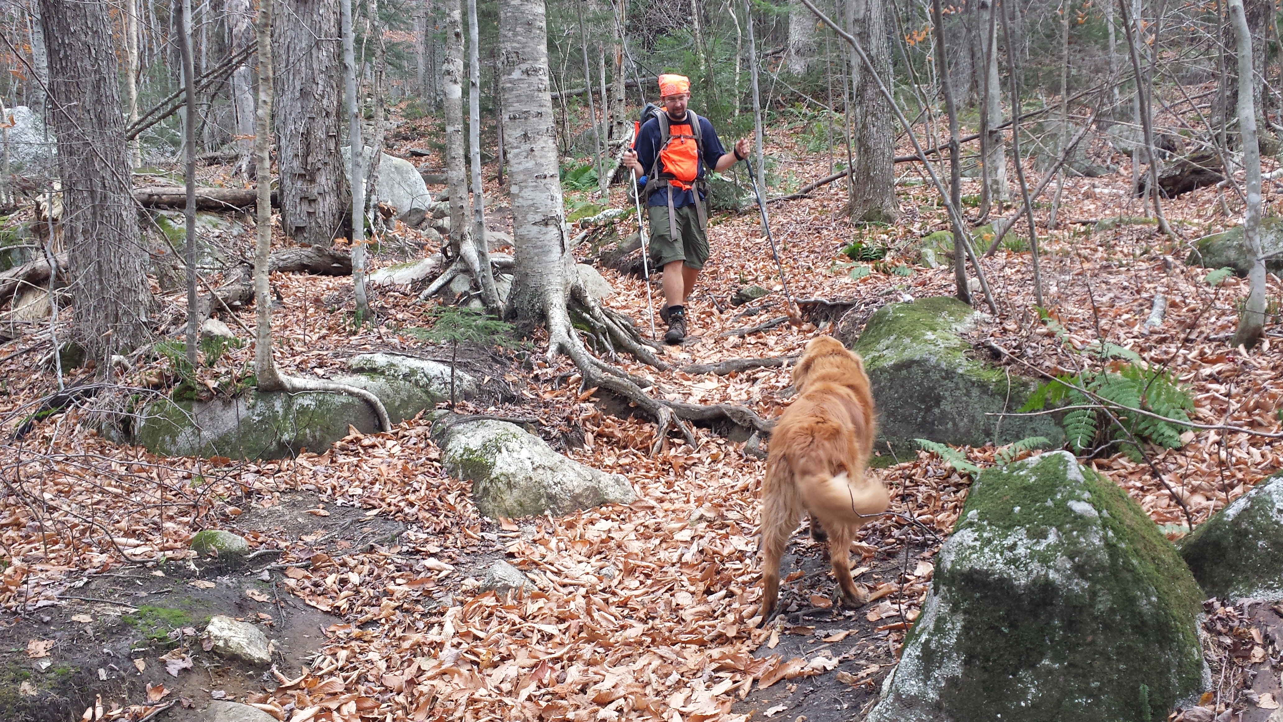
Unburdened by my pack once again, I felt like I was flying along the low-lying woodland trail. Apparently, word was out about how easy this section was, though, as I saw more people out that day than the rest of Maine combined. (Actually, it may have had more to do with the 19th being the only Saturday I hiked through this section.) I passed two groups of high school cross-country runners in the first hour. The Rangeley High School CC Team had put in at my destination around 5am, and were now within yodeling distance of their own destination. The boys were jogging along at a good clip when they passed me, while the girls, five minutes behind them, were just kind of speed-walking. They were going slow enough I could get in a few words of questions from them, which is how I found out where they’d started and where they were headed so quickly. My own deadline was 5pm, and judging by the cross-country teams’ progress, I would have no trouble making it.I felt a bit upstaged that they’d already done 12 miles before 11am, but then I remembered I wasn’t out there for athletic training, but merely to enjoy the scenery.
And there was plenty to be had on that section. There were no less than five ponds along the trail that day. They all run together in my memory. Some had beaches. Some had roads with truck access. Most had canoes chained to trees beside them. Five miles in, I stopped at Little Swift River Pond Campsite for lunch. I talked to another thru-hiker headed up the way immediately after I left. Four miles later, I took a little side trail up to the Sabbath Day Pond Lean-To for more lunch, and to do the usual sheltery things: sit and stare and relax and write notes for Chipmunk in the log and otherwise Not Worry Because There Was So Much Time To Kill. Another group of thru-hikers had been hanging out down by the pond and came up to chill with me for a few minutes.
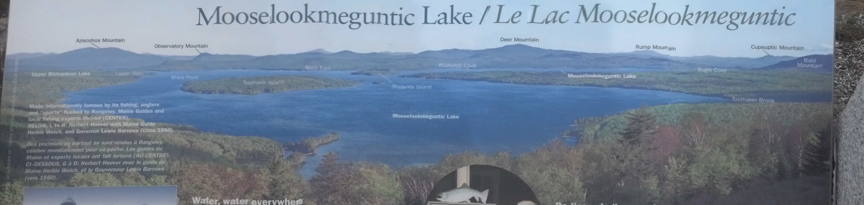
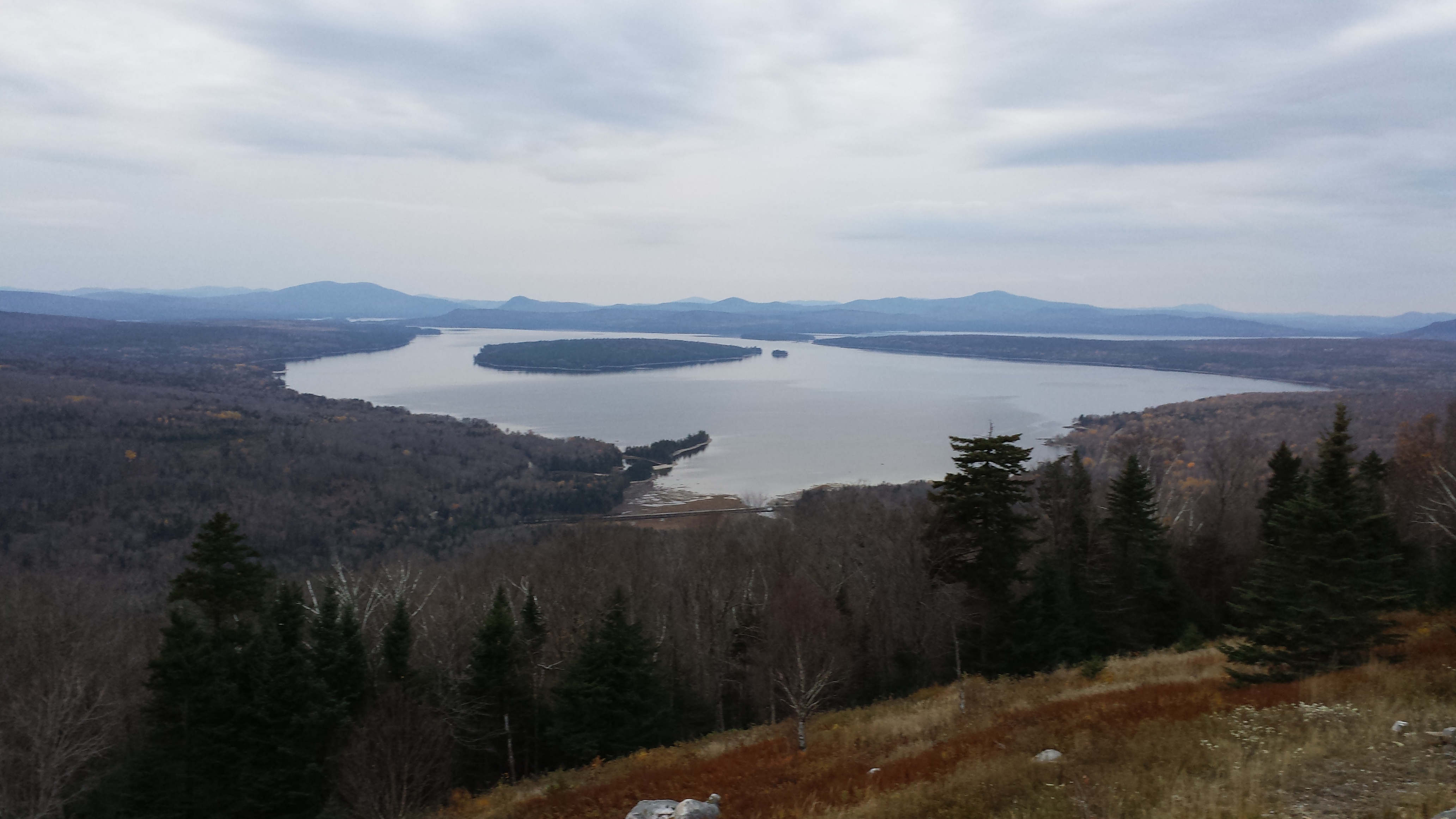
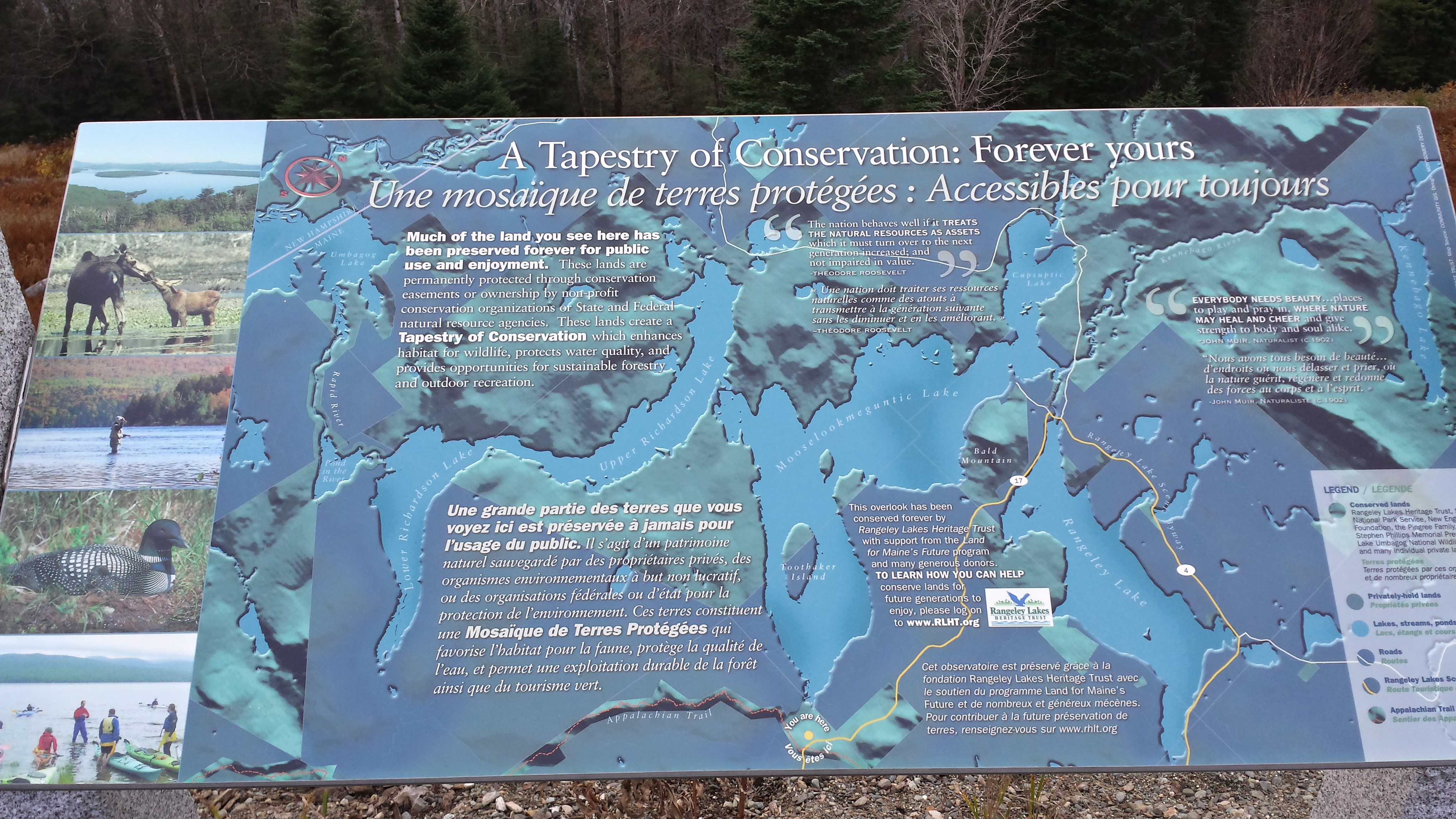
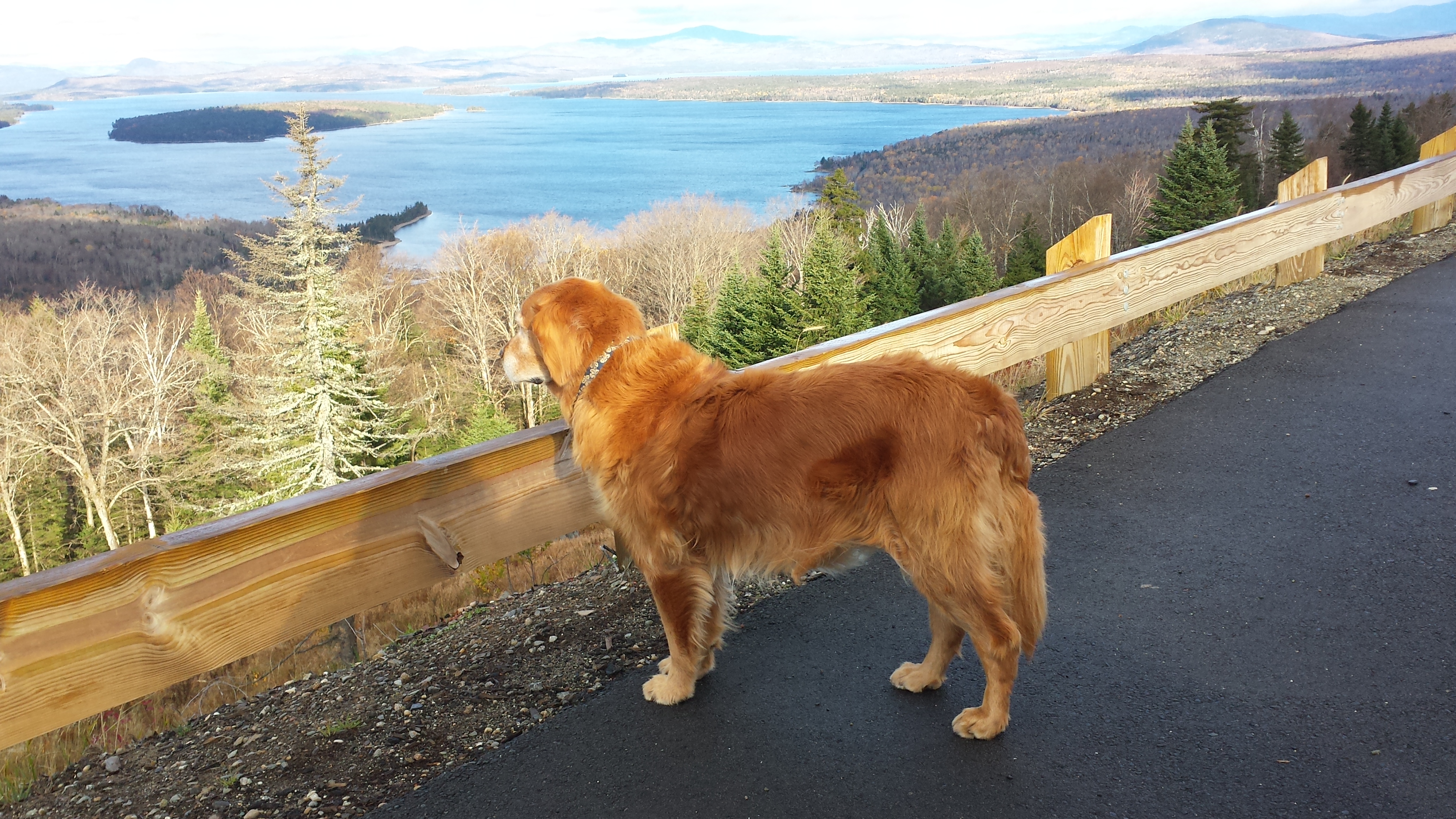
Finally, having done nothing but bask in relative inactivity until well into the three o’clock hour, I headed out to do the last 4 miles to Maine 17. I was there in no time, greeted by a roadside vista the likes of which I hadn’t witnessed since the Shenandoahs. It was a freshly-dedicated pull-out parking area with a panoramic view over Lake Mooselookmeguntic (which, as best as anthropolinguists and historians can tell, means “waters of the moose feeding place” in the Abnaki language, and not, as you would guess “Moose look at my gun go ‘tick'”). Having arrived before my ride, I spent some time taking pictures and reading signs, with which the spot was overflowing. What I didn’t do was figure out where the trail continued. I found a rock staircase going down toward the lake and thought that was it, but I was wrong.

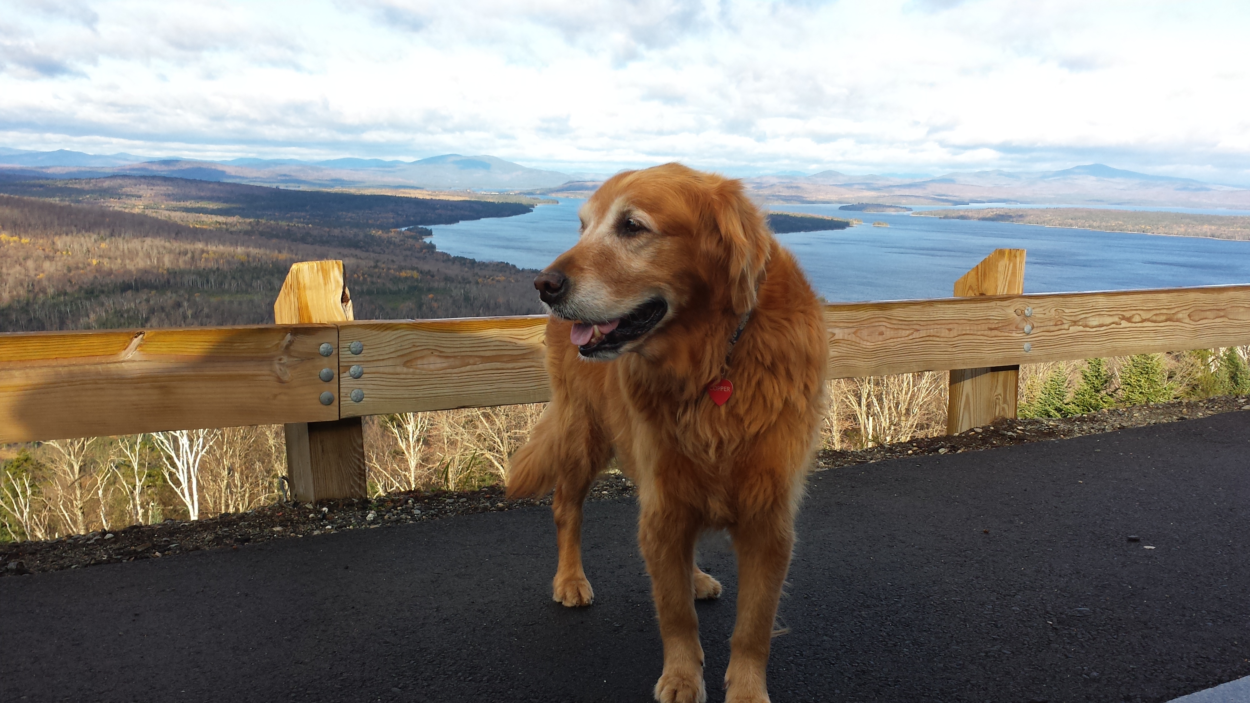
Meanwhile, the family had been having a nice relaxing third day at the lake cottage. Mama’s tradition was to take random apples they’d found in Vermont (where there are enough apples to pave roads with them) and making apple tarts with cheese and a biscuit base. This time she went all out and made a full pie, plus a batch of chocolate chip cookies. When that was done, they watched the Bulldogs game and left as soon as it ended (in a loss for Georgia). Copper just spent the day sleeping. Poor thing, right?
They arrived pretty close to “on time” to pick me up, though I’d been waiting a while, and had run out of signs to read. After our changing routine, they took me back to the cottage for supper, and the sun was just about set as we arrived. They cooked steaks, sweet potatoes, green beans with almonds and I ate all of it plus apple pie for dessert.
I was hoping to get back on the trail fairly early the next day, even though my original plan of doing a 16 mile day was foiled by geography. The locals had informed my parents that Sawyer Road, on the south side of Moody Mountain was inaccessible without a four-wheel-drive vehicle, so I had a mere 13 mile day. Same as the previous day. But the terrain was slightly more formidable and I expected to take a full 8 hours to do it, counting lunch break. I woke up at 6:30, and was not very crushed to discover that my choice would end up being between starting in the rain and finishing in the dark. Well, it wasn’t a hard decision: I’ll take night-hiking over wet-hiking any day of the week (and had, several times). I went back to sleep for another hour. For breakfast, I requested the leftover beef stew, because a hiker should always eat the heartiest breakfast available, and beef stew sticks to your ribs much better than a protein shake.
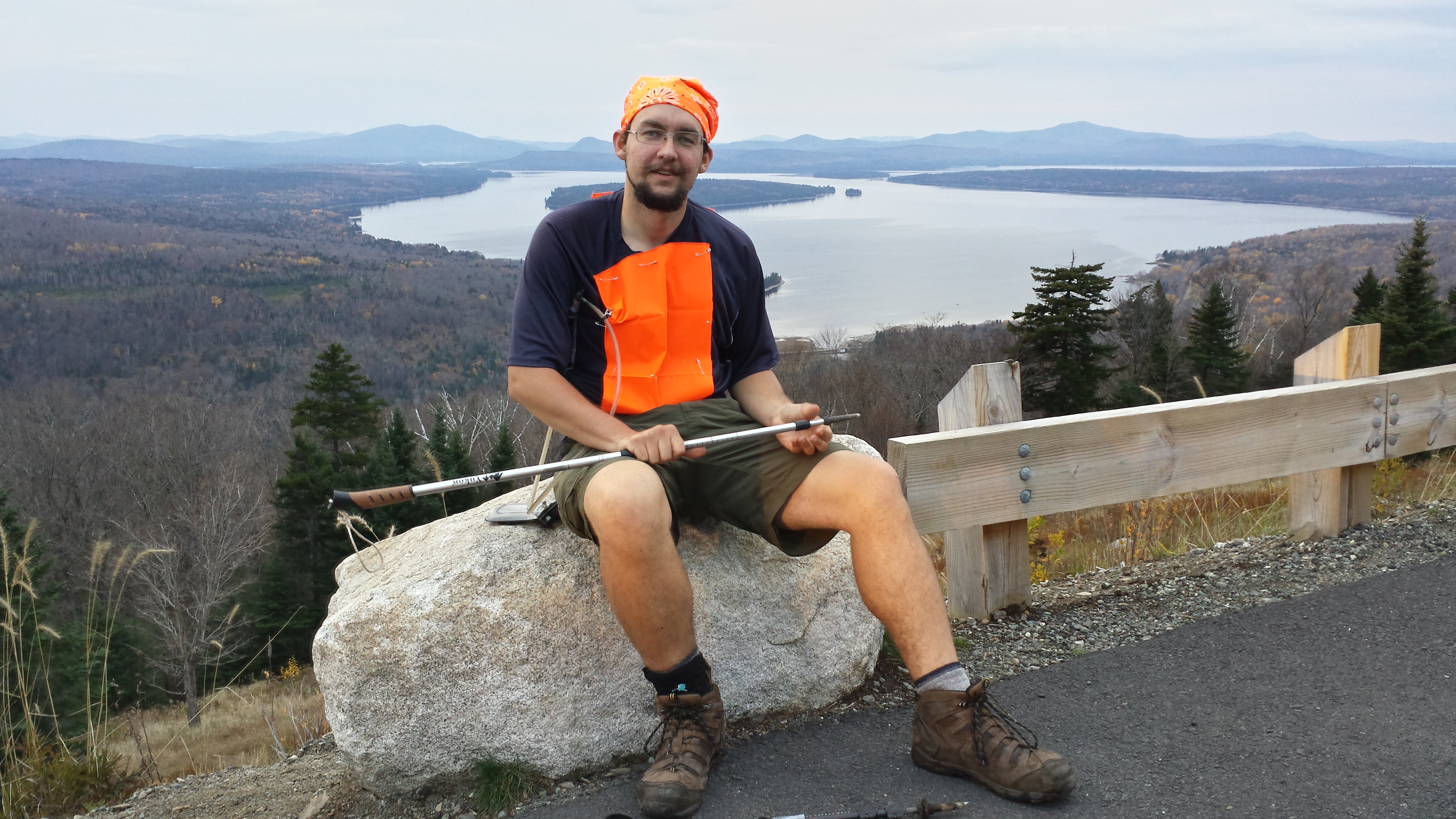
After I ate, I got my gear on and we got back to the overlook around 9am. The sun was shining bright, but a chill torrent of wind was pouring through the valley.
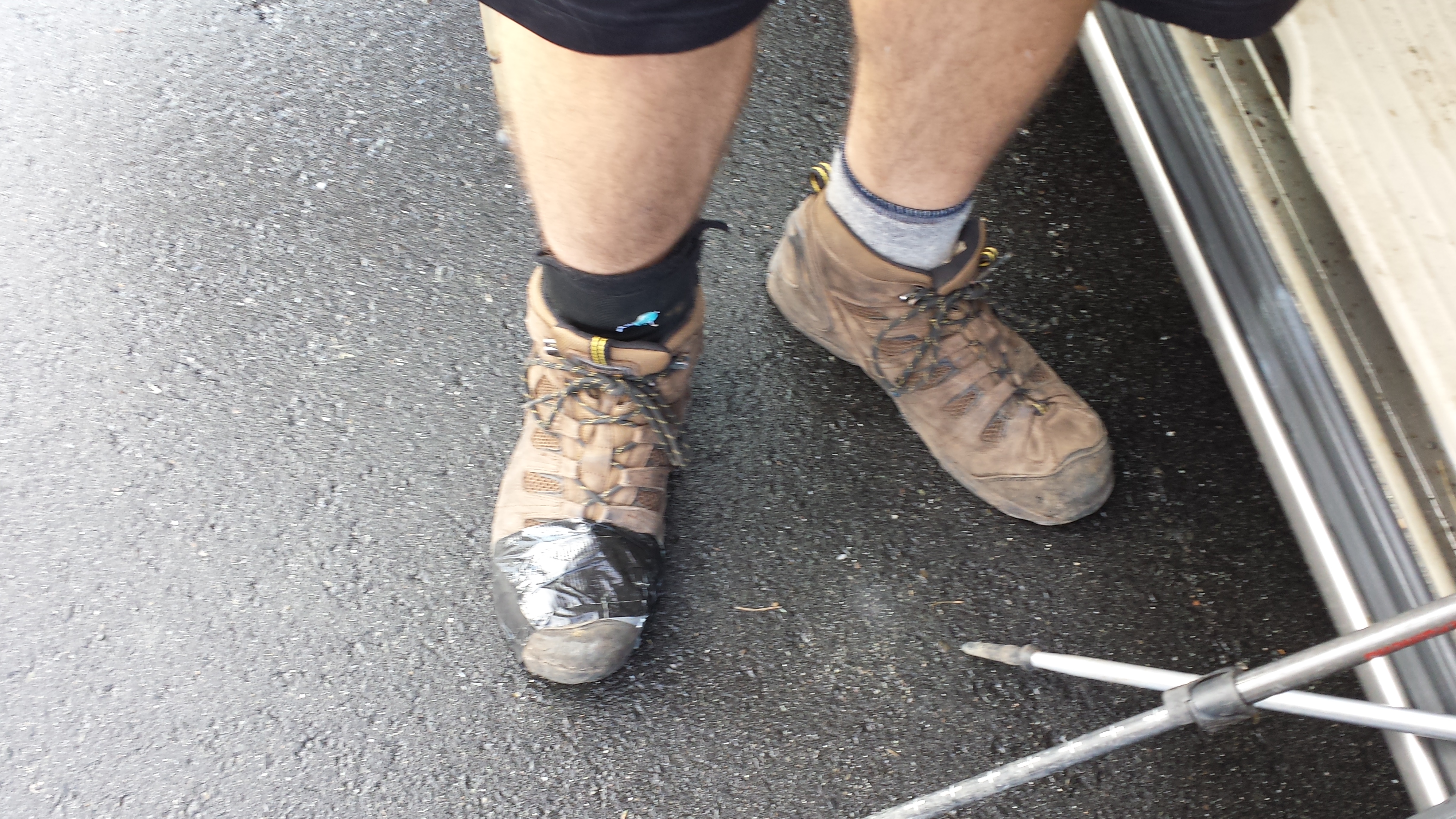
“Carolina” boots last less than 200 miles before they start falling apart. Do not buy.
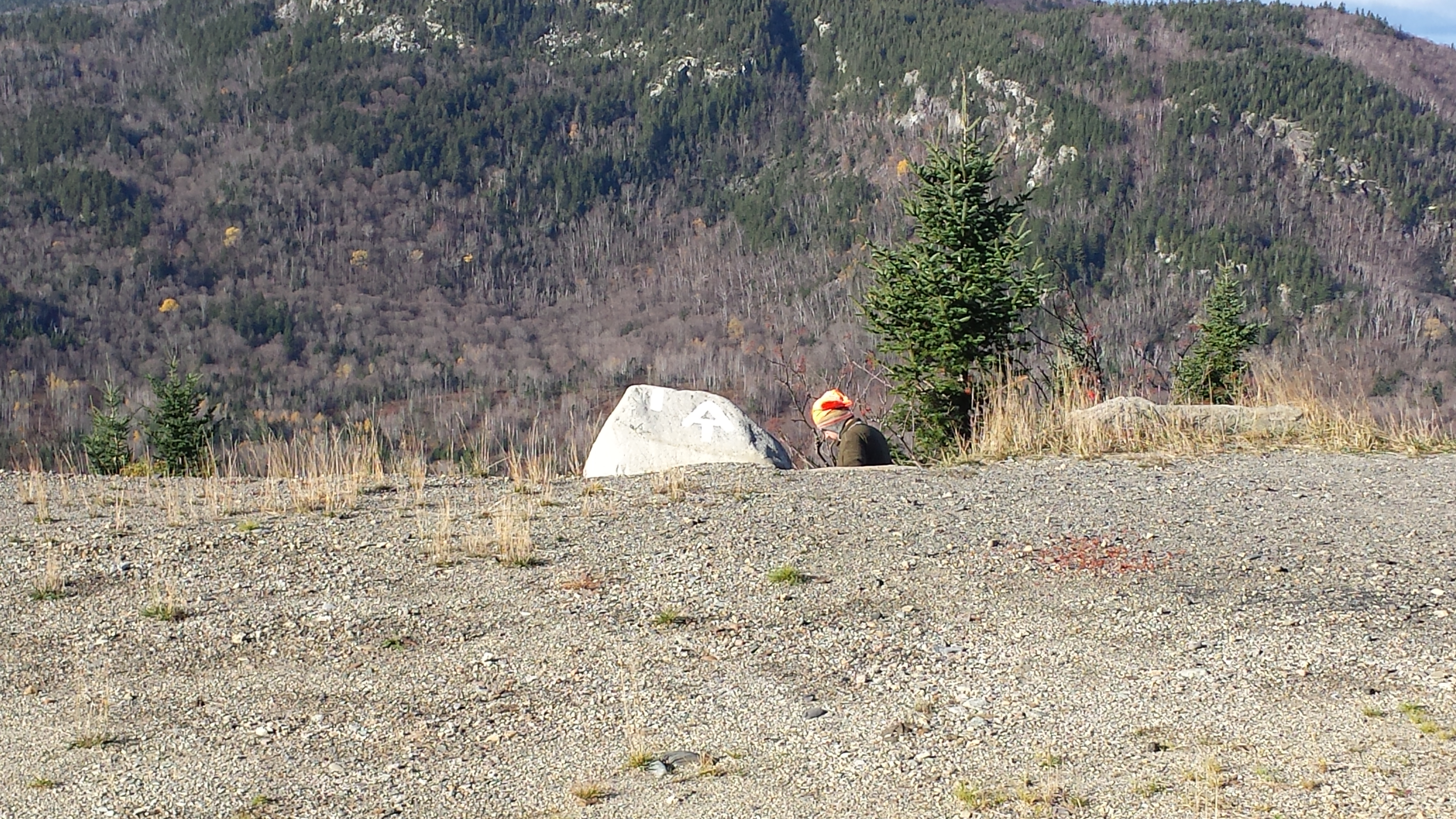
A wind that I got ample opportunity to experience because I walked down the staircase I’d found, saw it went nowhere, walked a hundred yards down the road next to the guardrail without finding the trail, walked back to the car and got in to put more cold weather gear on. I got my gloves on and a set of 180s for my ears. Then I got a ride down to a random bench placed on the side of the hill next to the road, which seemed like as good a place as any to put a trail. I finally found the blaze some ways behind it and waved goodbye.
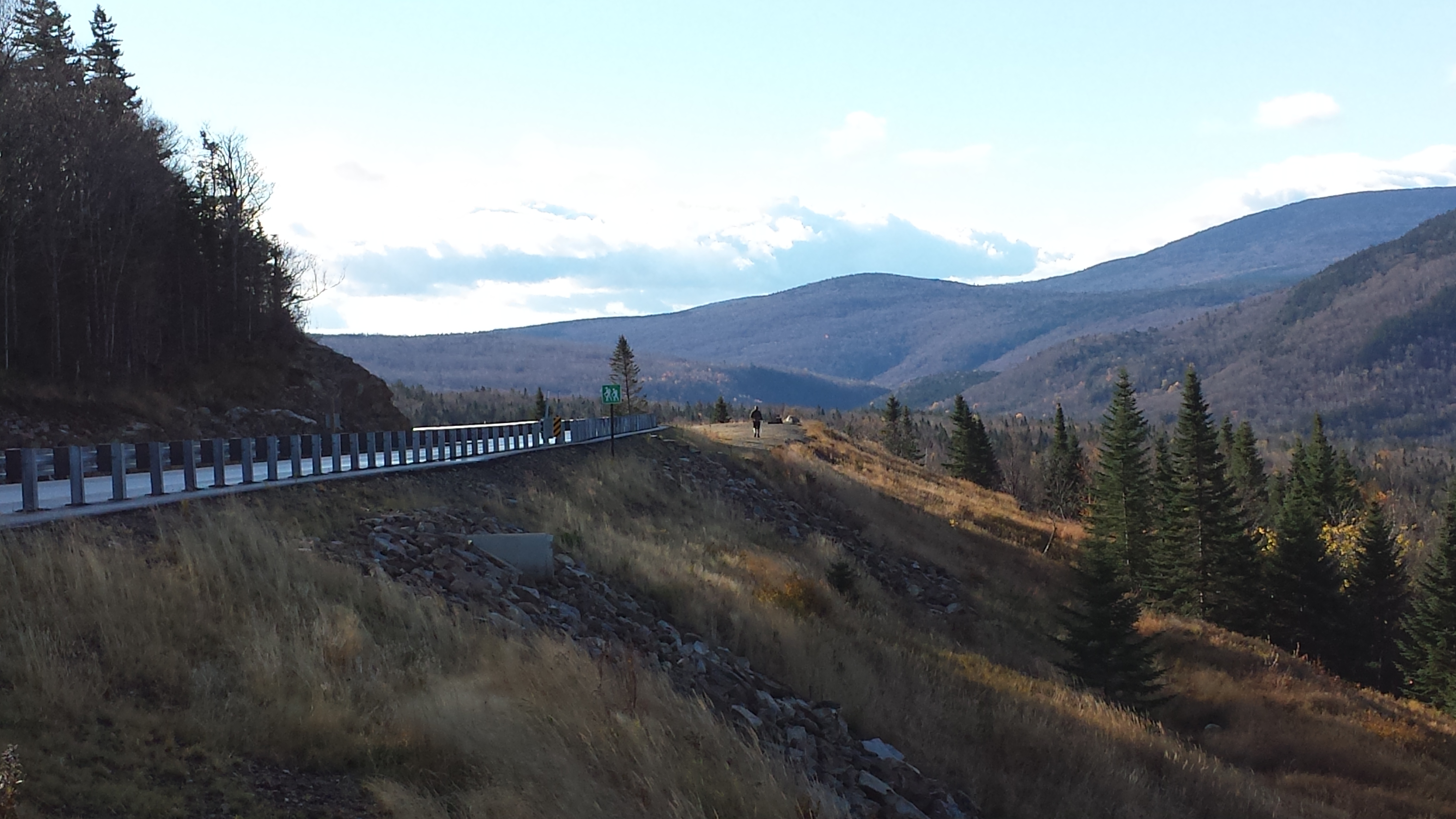
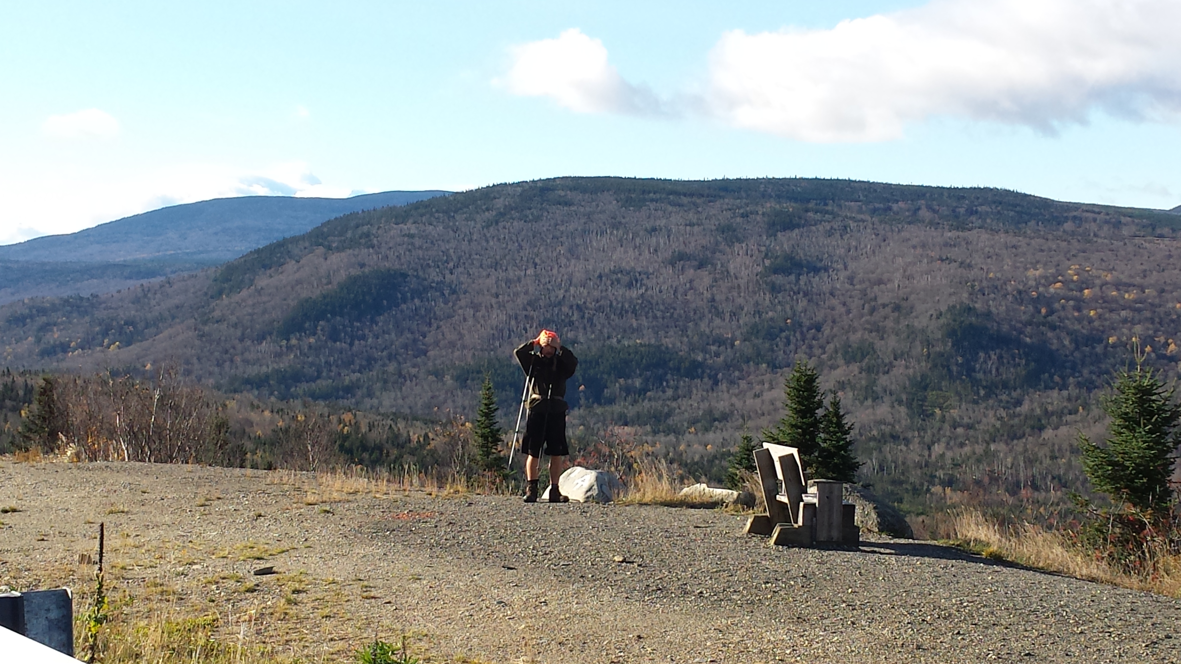
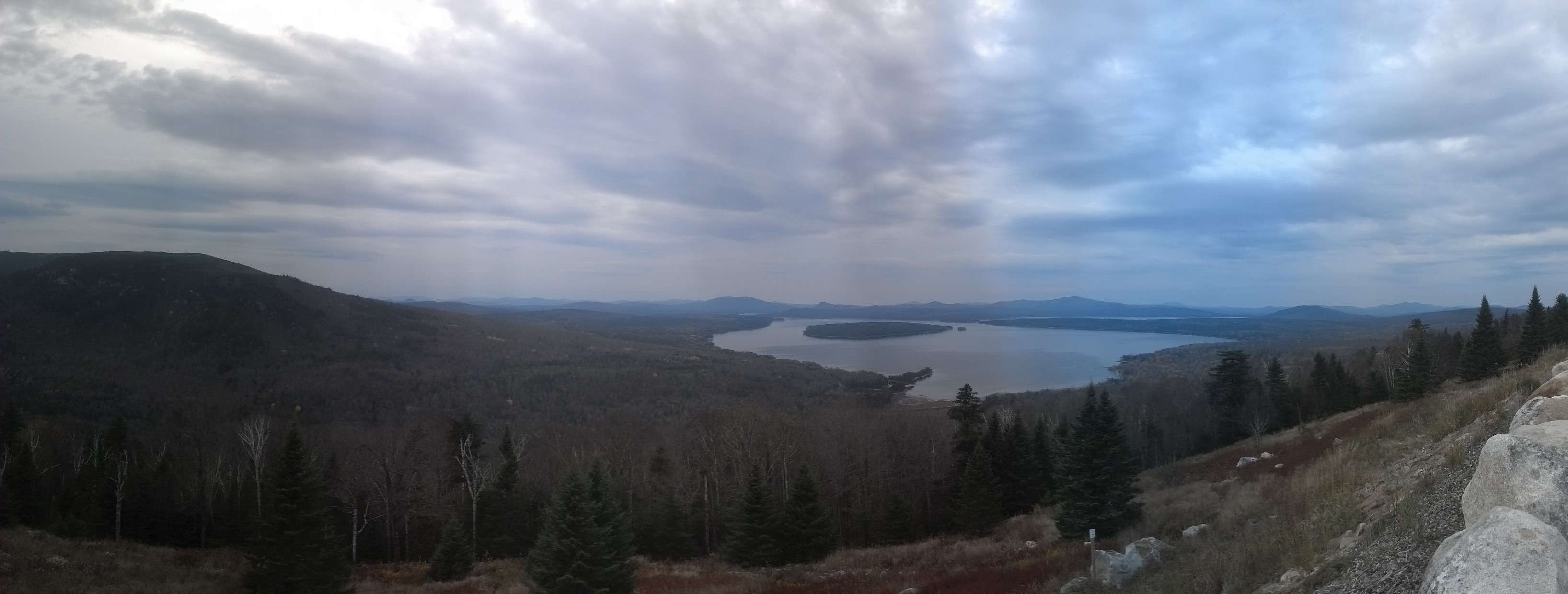
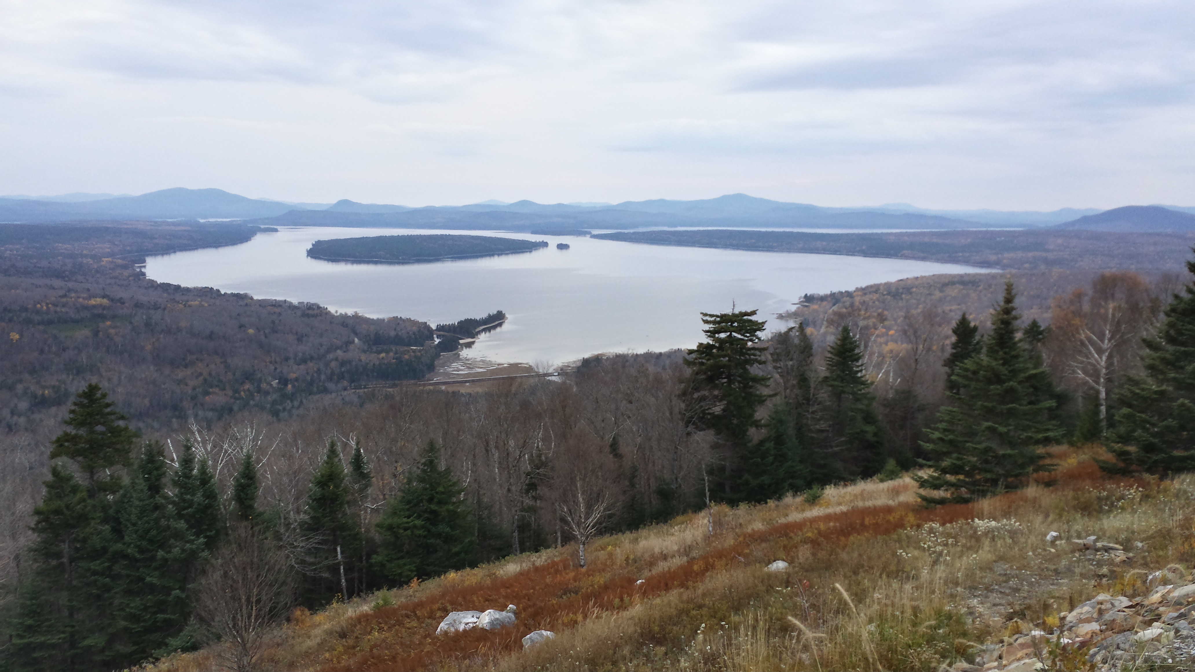
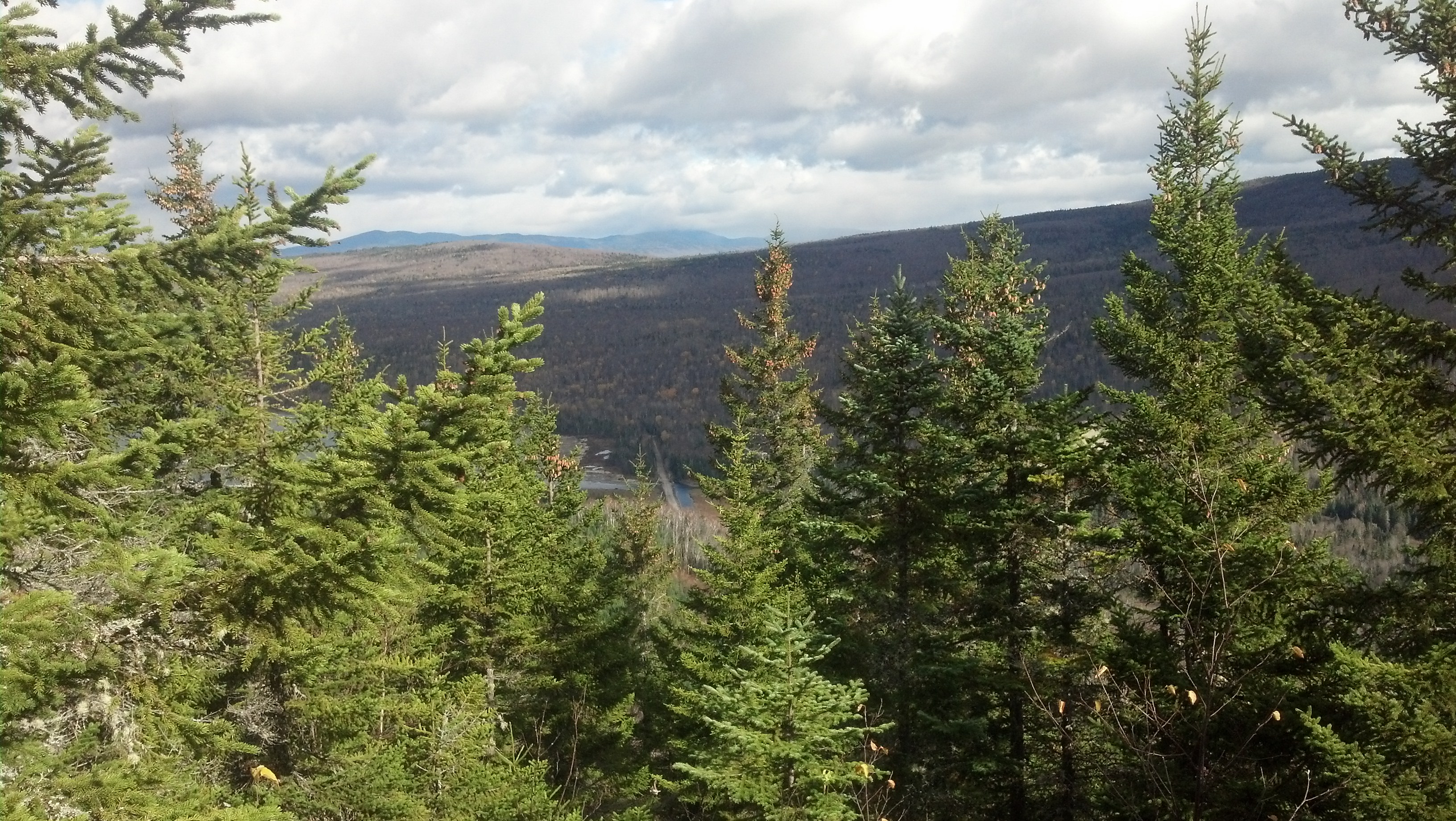
As soon as I got down the hill and into the trees next to the lake, the wind stopped. I hopped over a small creek and almost immediately, I began climbing up into the Old Blue/Bemis range. I hadn’t ascended more than 20 feet before I stopped to put away the fleece and gloves. That too-cold wind is just the sort of thing you want at your back when you’re climbing a mountain. As soon as I’d reached the top of the ridge opposite the hill side I’d started on, I turned around and snapped a quick photo of ME 17 and the Mooselookmeguntic overlook.
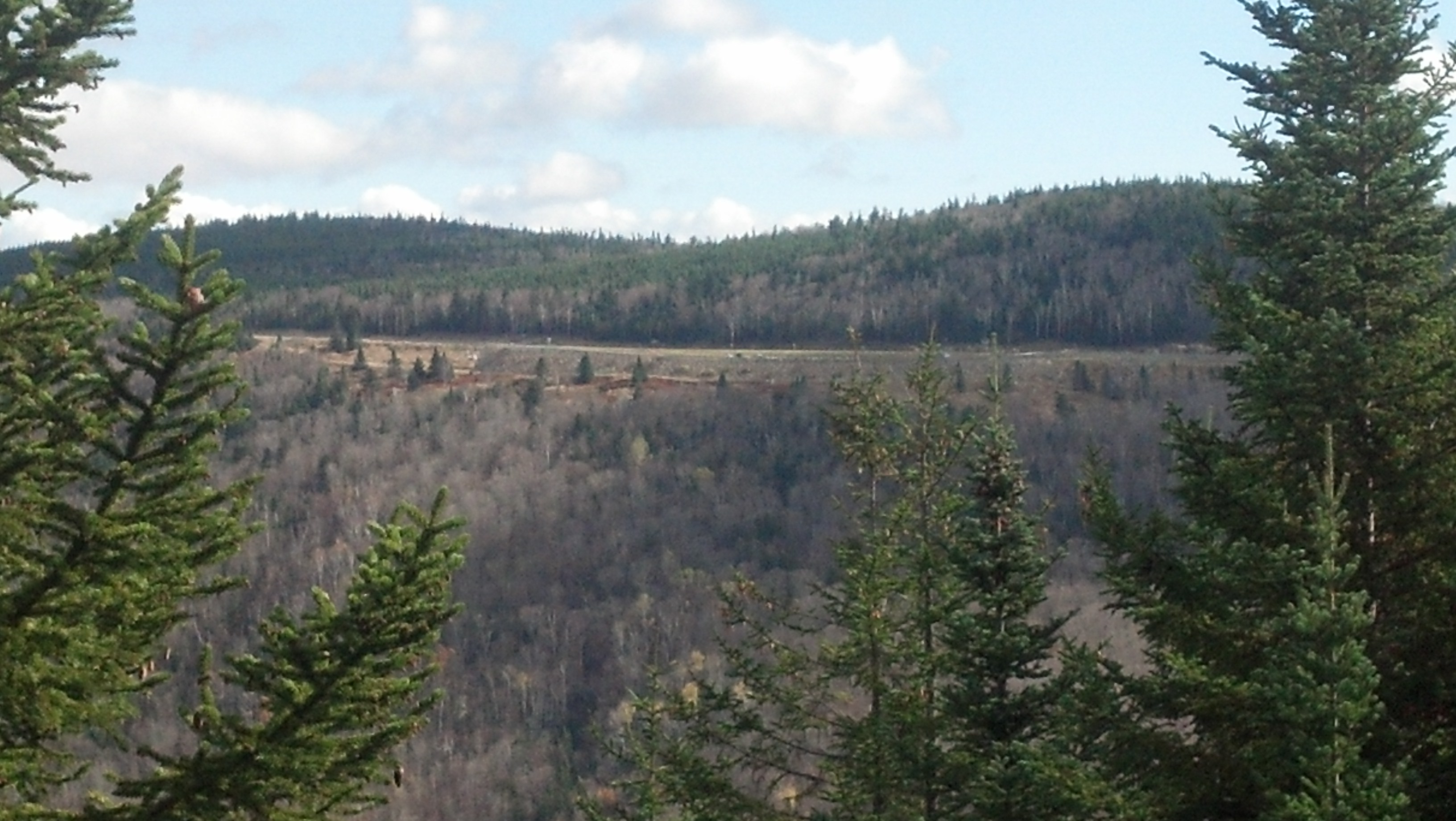
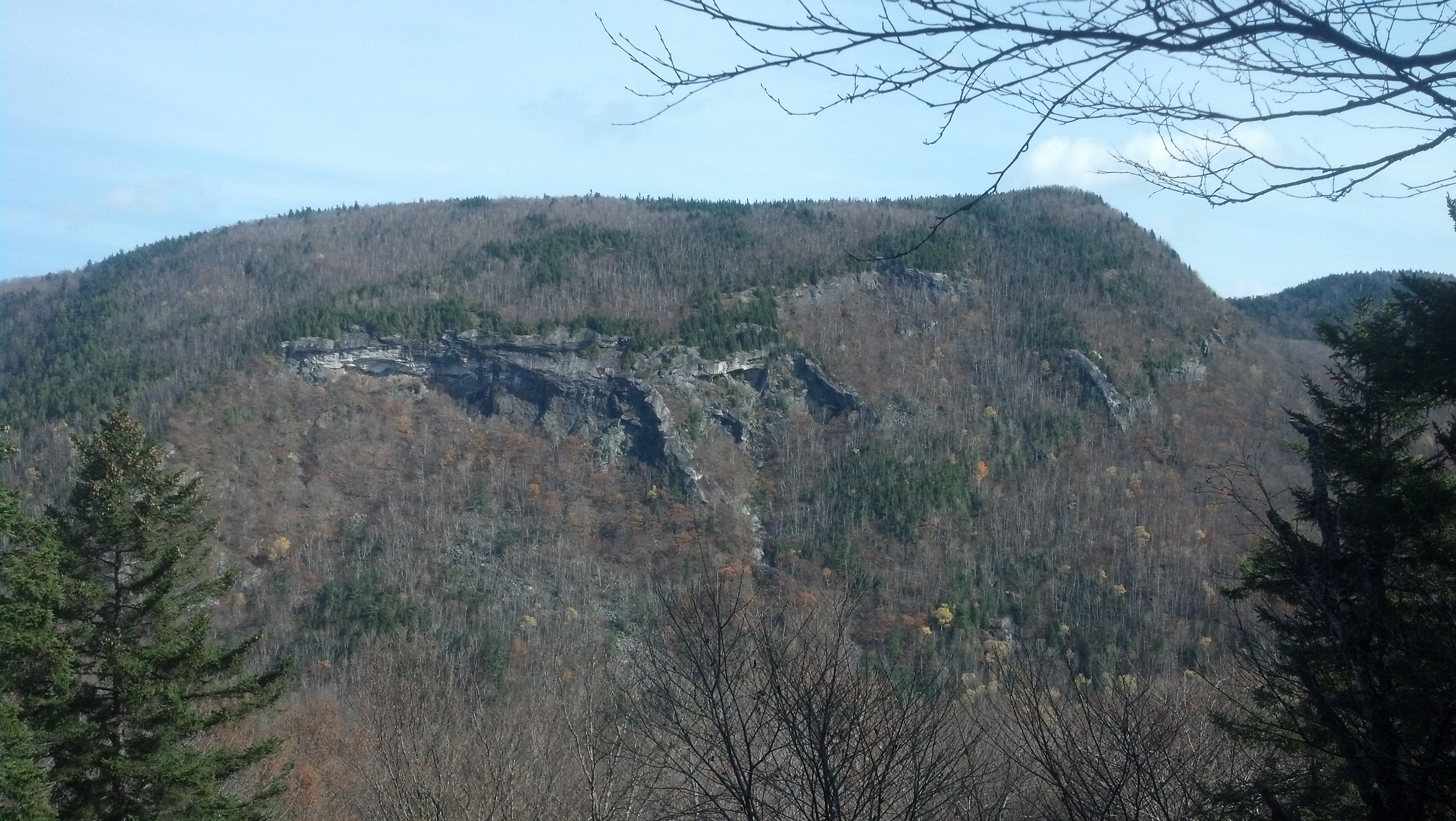
A thousand feet up and 3.5 miles in, I stopped at Bemis Mountain Lean-To for a snack before climbing up Bemis Mountain. To tell you the truth, I don’t remember any of the particulars of this day’s hike. Presumably I just chilled for a while at the lean-to, and didn’t see anything or anyone of note, until late in the afternoon, I finally crested Old Blue Mountain, and had this for my view:
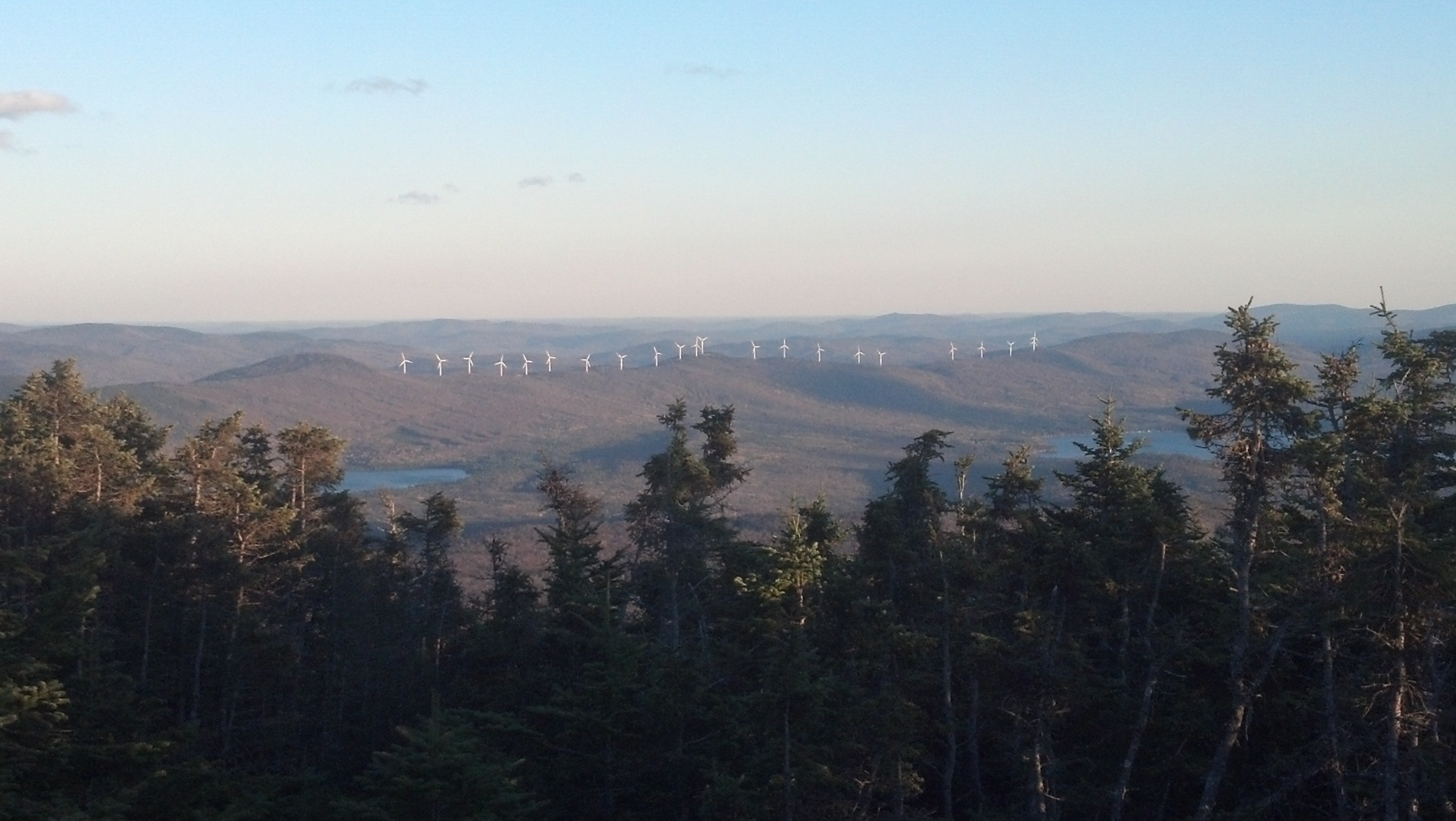
Those wind turbines somehow tie the otherwise monotonous landscape together, don’t they? Or would you prefer it without them?
Speaking of not remembering things, it was somewhere during this mad southbound rush I passed an old guy hiking alone, way past the closing date for the park, still hoping to hike at least most of the trail. He figured that if they wouldn’t let him enter the park or climb the mountain, he would still have hiked 2,170 miles his own way, and that was good enough for him. He was the only person I saw on that leg and he was just so full of conversation, I found it hard to excuse myself as nearly a half an hour went by, and I ended up arriving at my pickup later than planned. I don’t even remember his name, but I do wonder whether he climbed the mountain and how he crossed the Kennebec. I’m not sure if it was somewhere on this day that I met him, but considering I don’t remember anything else about this day, it seems awfully probable that the two memory lapses coincide.
Anyway, I arrived down at South Arm Road right about dusk, changed, and started eating the bacon and boiled egg sandwiches my mom had brought to eat in the car on the way back to the Inn at Rostay in Bethel, ME. Upon arriving, I showered and went to bed by 8pm, doing a bit of internetting until I fell asleep. It wasn’t the hardest or longest day of the trip, but it was a full one and it was hard work. It was as easy to get to sleep early as it was to wake up early.
It took me a bit longer to get myself together that morning. I still had a surprising amount of energy, despite having done 126 Maine miles in the last 8 days. It’s just I had to put myself together for my last overnighter in Maine, which, with only one set of food items and no shelter to carry, still took much less time than packing for the Hundred-Mile Wilderness. If I had been able to carry out my original plan of hiking over Moody Mountain to Sawyer Notch the previous day, there would be no need for an overnight stay here at the end, as it would just be a single giant 18-mile slackpack blowout last day over Baldpate and I’d be done. But with the Moody Mountain climb pushing the distance over 20 miles of some of Southern Maine’s most ridiculous terrain, a one day hike no longer looked wise. So, the plan was to spend the night at Baldpate Lean-To, 2 miles shy of Grafton Notch, then wake up and finish the last 2 miles of Maine before 9:30am of the following morning. Which meant I still had a huge 18 mile day planned, only now it involved a pack. Starting early was essential. We arrived at roadside before 7:40am and I put my pack together at the car, and started hiking just before 8:00am.

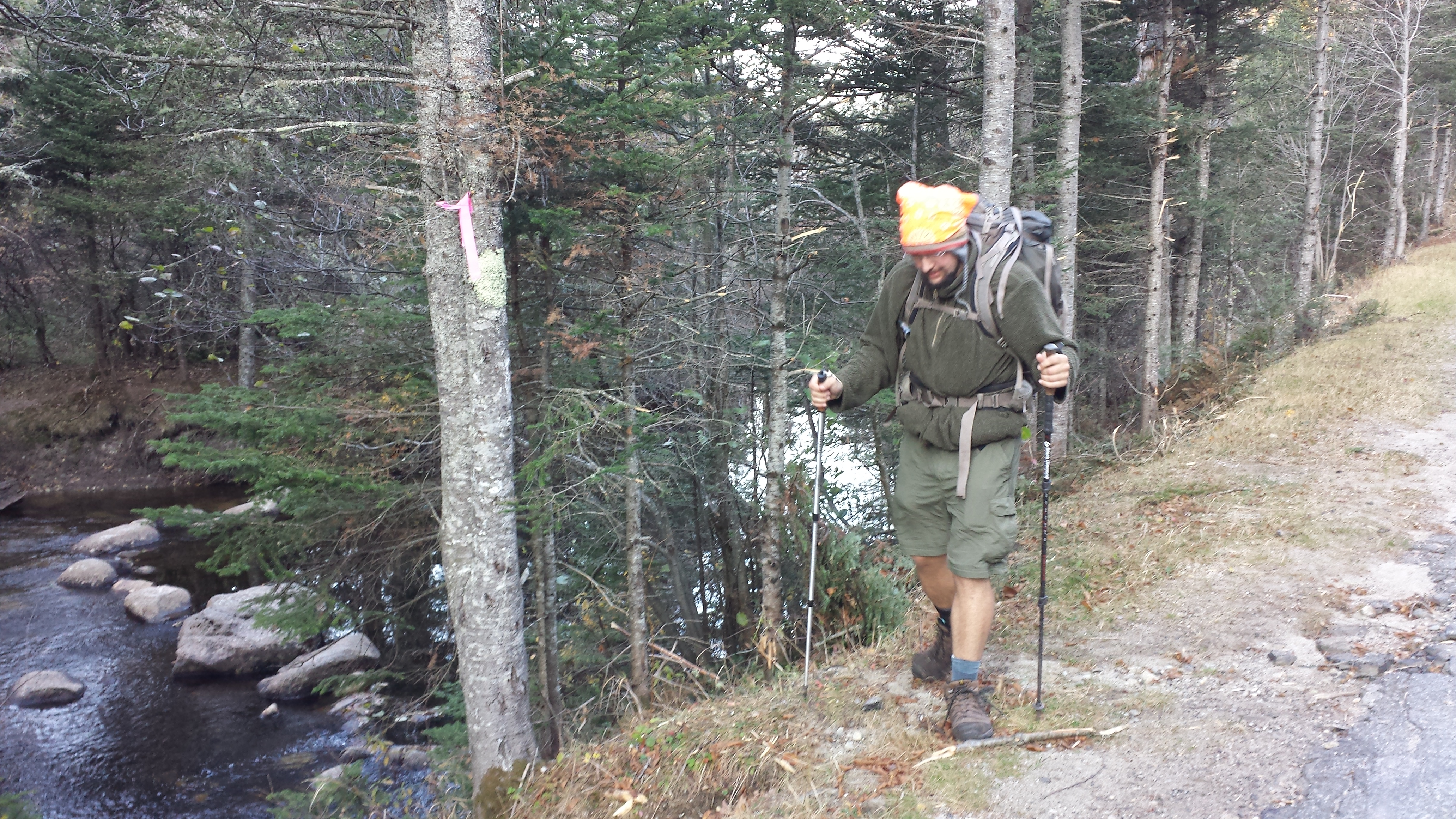
There was a stream to cross directly adjacent to the road, and Mama just had to have pictures of my crossing it. Probably because she couldn’t fathom my crossing a stream without getting my boots wet while wearing a pack. Or perhaps it’s that she couldn’t fathom doing it herself. I don’t know. Maybe it’s just that the trail forced me to take several minutes to get out of her field of view, and she didn’t know what to do except take pictures. Either way, she took 12 pictures.
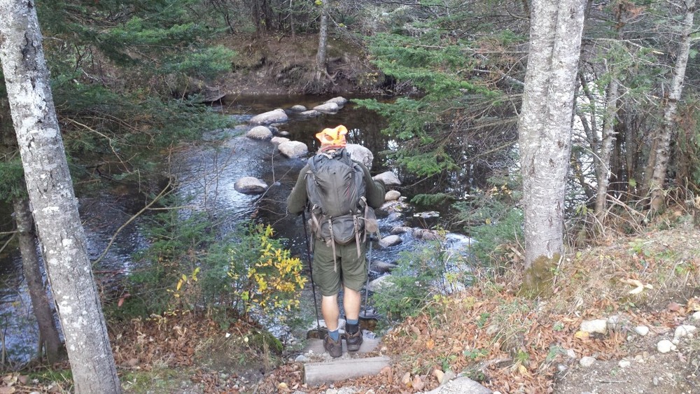

Mama took 11 pictures of me crossing this stream. Why? That’s too many. So I decided to combine most of them. Since she made no attempt to keep her phone at the same angle or distance, prebuilt solutions for this fail spectacularly. So I had to write my own program to do it. Click on the image to see the 80 megabyte result. This image took around five hours to make. Enjoy!
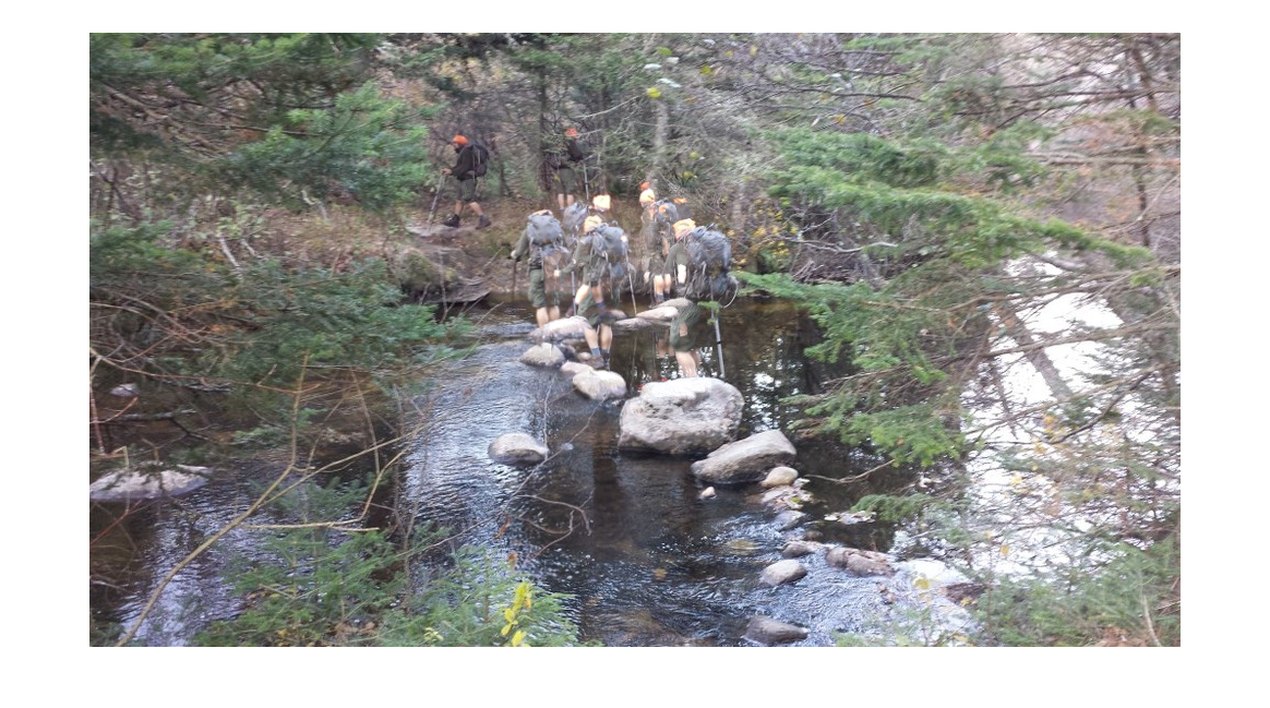
If you are on mobile and can’t afford to download 80MB right now, here’s a summary.
The climb up Moody Mountain was nearly as ridiculous as the descent down the other side. Both sides of the tiny mountain are covered with rock stairs or bare rock faces with or without rebar and rails set in them. It was just as well that I did it first thing in the morning than last thing at night, because taking the steepest descent on the A.T. (1440 feet in 0.8 miles—that’s 1800 feet per mile) on legs that had hiked 13 miles already would have just been begging for an accident. As it was, “taking the stairs” didn’t actually seem that bad. With my pack well shy of full, the descent passed in a surprisingly short time.
Near where it leveled out onto a road so long abandoned it was almost unrecognizable as such anymore, I heard voices out across the stream. You can guess how surprised I was to meet a pair of northbound thru-hikers still coming north this late in the season. They seemed to be having an absolutely wonderful time, and no surprise: the weather had been amazing for days. I asked them about the stream crossing ahead (no problem) and about how they planned on getting over the Kennebec now that the ferryman had packed it in for the winter (they had no idea, but they had managed to get the number for the dam so they could find out it would be releasing and were seriously considering fording, which I discouraged in no uncertain terms). I described for them somewhat of the trail ahead, including the beer stash, and we went our separate ways.
Arriving at the road below, I figured out why the couple had been laughing and shouting and having such a good time. You see, the fall had turned that old road into a bed of leaves six inches deep, and leaves are as good a reason as snow to become a kid again for a few minutes…
A whole new meaning to the term “trail angel”
On the other side of Sawyer Notch was yet another ridiculous climb, 1551 feet in 1.4 miles straight up Hall Mountain. It was not quite as steep as the south side of Moody, and it went by in no time, with plenty of photo opportunities near the top as the exposed climb revealed a view over the valley and the sheer side of Moody Mountain I’d descended.
Soon I was arriving at Hall Mountain Lean-To, a plain old Maine shelter that was still a fine place to stop and chill out for a few minutes, it being pretty much lunchtime. I stayed long enough to read the logs, but not to leave a message for Chipmunk, since by then I realized she was no longer hiking in Maine. Then I loaded up again and sauntered on up to the top of Wyman Mountain. Fairly dull as far as Southern Maine peaks go. From there, it was yet 12.5 miles to my planned destination and I had less than five hours of sunlight left to go. Given that the last three miles were over the 3.8 thousand foot Baldpates, it seemed very likely I’d be walking in the dark. Luckily, it was all gently downhill for the next six miles to Dunn Notch.
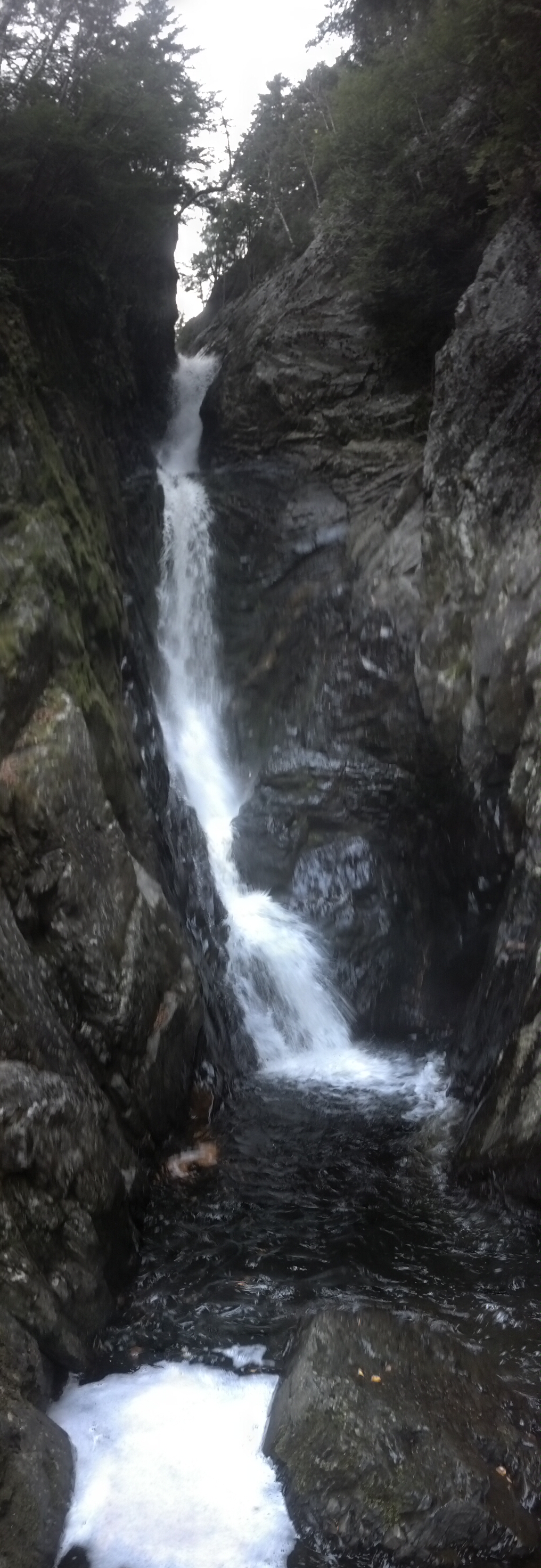
Dunn Notch is a very interesting place, because despite being only 1495 feet above sea level, it’s more like the clefts in the earth that I saw separating mountains way up high in the Wildcat Range. It’s like two mountains were pushed so close up next to each other that the water couldn’t spread out to make a river bed, so it just kept cutting straight down until it formed a steep-walled box canyon with a falls at the top. The trail crosses the stream just above this falls, down from boulders and over rock ridges bulging right out of the middle of the stream, like it was intended to be a bridge (except during the spring thaw and after thunderstorms, of course!). To my left I could see the water foaming and gearing up for a plunge, and I had to get a better look. Just on the other side, another trail split off and a few feet down it, I found an eroded track that went straight down the side of the gorge to the bottom. There were signs there advising people to stay on the trail. I knew it would be dangerous and bad for the trail to take that track. I went anyway. I dropped my pack and took only my camera. Slowly, carefully, avoiding loose rocks, hanging onto trunks and branches, I worked my way all the way down to the foot of the falls. I looked at it for a while, then went back up the same way.
Well, it was after five p.m., which meant the sunlight was already waning. I gave up making it over the Baldpates and set my sights on the Frye Notch Lean-To only 3.5 miles away. I figured I could make it there before darkness fully set in if I booked it. As it turns out, booking it just wasn’t an option. It was one of those long steady climbs with frequent surmounting of bulbous ridges that seem like the top from below, but just keep going up right after. Constantly throughout the last two miles I was saying to myself that I surely had to be right on top of the shelter by now, but the trail ignored my erroneous beliefs and stretched before me long after the sun was gone and the stars were out. I didn’t feel like stopping to get my headlamp out so I just kept walking in the dark, and it was a beautiful clear night. Somewhere along the way I blew out my night vision to cut on my phone and text my mom that I would be stopping before the Baldpates, but would get up early and start climbing them before dawn, and still expected to arrive on time the following morning. Since the profile made them out to be a very serious climb, mostly above treeline, I thought it wouldn’t be wise to do them in the dark anyway.
Finally after cresting the fifth “last ridge, please oh please be the last ridge” in a row, I started descending for real. A half mile later the shelter just appeared right in front of me without warning. The temperature had dropped to the low 40s already and as soon as I stopped, I was already getting cold. I laid out my mat and my bag and got inside it before I even started cooking, right there in the lean-to. Why not? No one else was crazy enough to be up on a mountain on a Monday night at the end of October, so who was going to complain. The still-mostly-full moon rose by the time I slept and soon angled itself to be shining right in the shelter like a false dawn, waking me up several times throughout the night. What is it with celestial bodies these days? No respect!
I got up to a phone alarm I’d set for 4am and started getting ready. I mixed up my protein shake to go and skipped a visit to the privy, figuring I’d be at another one just over the Baldpates if I needed it.
Thus did I begin the most magical morning of my whole hike in the dark. Within a half mile, I was climbing up Baldpate’s northern slope. There was light all around long before there was sun. I was working my way up a steep rock face with little rock piles across its surface to hint at the trail’s direction. There was a morning fog quickly burning away and a few rocks arranged just right to block the horizon. When I on top of this bulging rock and caught sight of the horizon, I rushed to get my phone on before it got any brighter out. Tell me that without context, you would have guessed this picture was taken at 6:56am:

By the time the sun was wholly above the horizon, I was at the top of the east peak, 3,810 above sea level. The west peak was less than a mile away, and less than 200 feet lower. The whole climb up either side and the run between them was above treeline, and the day only got clearer and brighter as I went, though I can’t say it ever got totally warm.
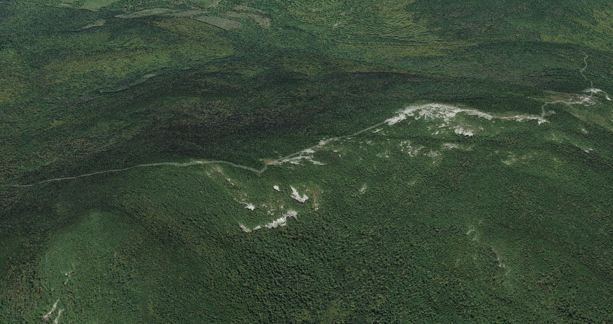
Baldpate ridgeline section of the A.T. via Google Maps
By the time I reached the West Peak, probably around 8am, my body was reminding me what time of morning it was. It was the time at which I would normally have just finished breakfast and be looking for a privy or digging a hole. Needless to say, I didn’t stop to take any pictures. I thump-thudded down the last mile between the peak and the Baldpate Lean-To, took the 0.1-mile side trail to it, and found its privy. Afterward, I checked out the shelter and left a note in the shelter log commemorating my last morning in Maine, reveling in what luck I’d had with the weather and what a beautiful sunrise it had been. It was probably as deserving of poetry as Saddleback had been, but it’s hard to feel philosophical before 9am. I wondered if mine would be the last log entry of the year. I’m 90% sure it was the last entry by a thru-hiker.
While looking through the random garbage other hikers had left behind, I struck gold: up on a shelf was a funny-looking little red capsule of an mp3 player, somewhat beaten up but still in better shape than mine had been at the time it was crushed. The front said “iRulu Digital Mp3 Player” and the back had “Grey Wolf” written on it in marker. (Yes, probably that Grey Wolf.) Although it wouldn’t turn on, it appeared to have all the features I most enjoyed about my own little Sansa: it took a replaceable AAA battery, was small and lightweight, and connected by USB (though this one had an onboard usb male USB adapter). I decided to take a chance on it. At worst, I would be carrying out some trash left in the shelter, and at best, I’d have some entertainment for the last leg of my hike. As it turned out, after I got back, I dropped a new battery in it and it worked. It was even easy to put new tracks on: it worked about like the Sansa in that regard, indexing whatever was in its filesystem. All it was missing was a radio tuner. Oh, and it had a clunky hard-to-use spring-knob control system which fit its case so poorly there’s no way it’s waterproof or dirt-proof. But it worked! And it was free!
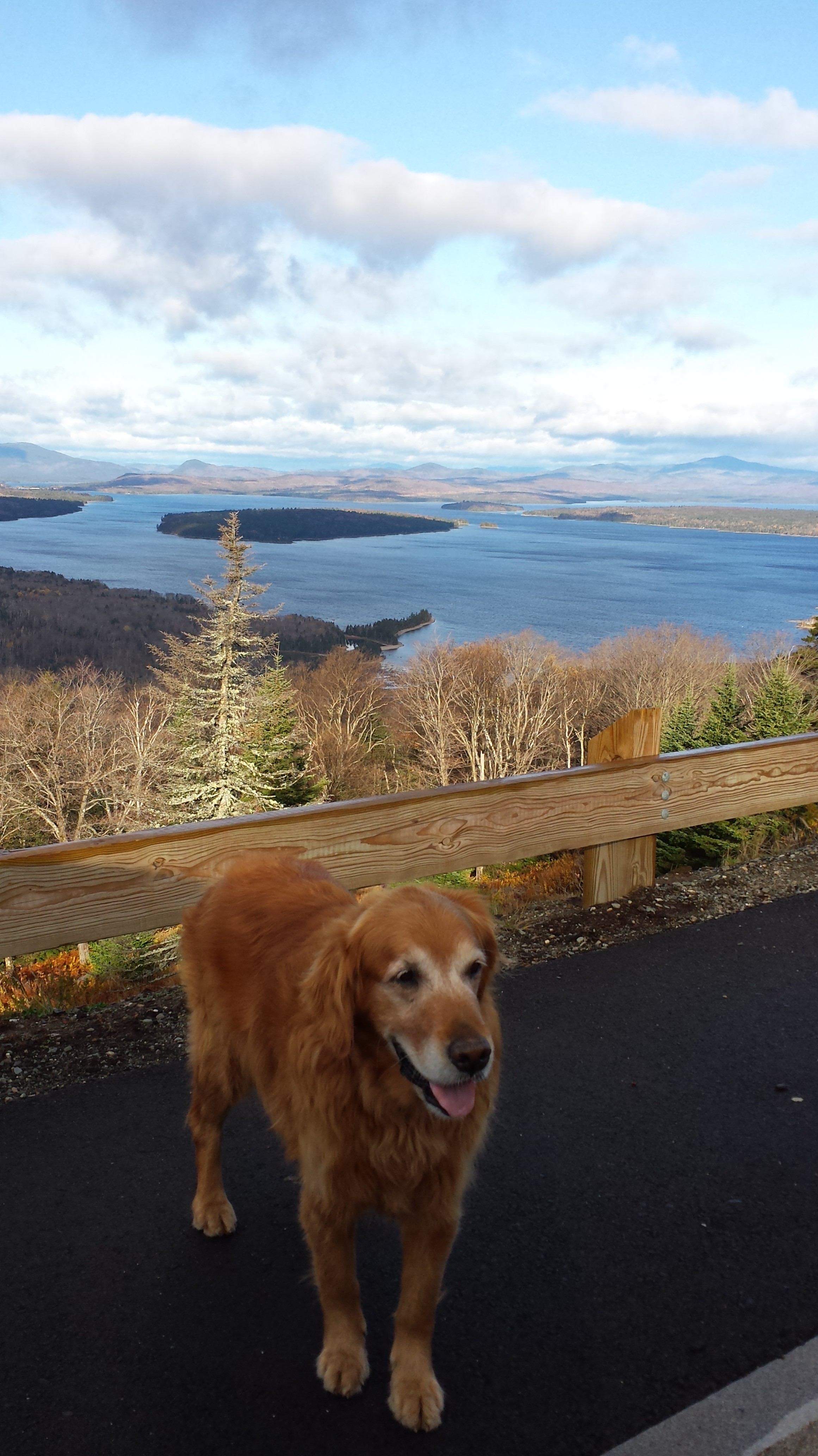
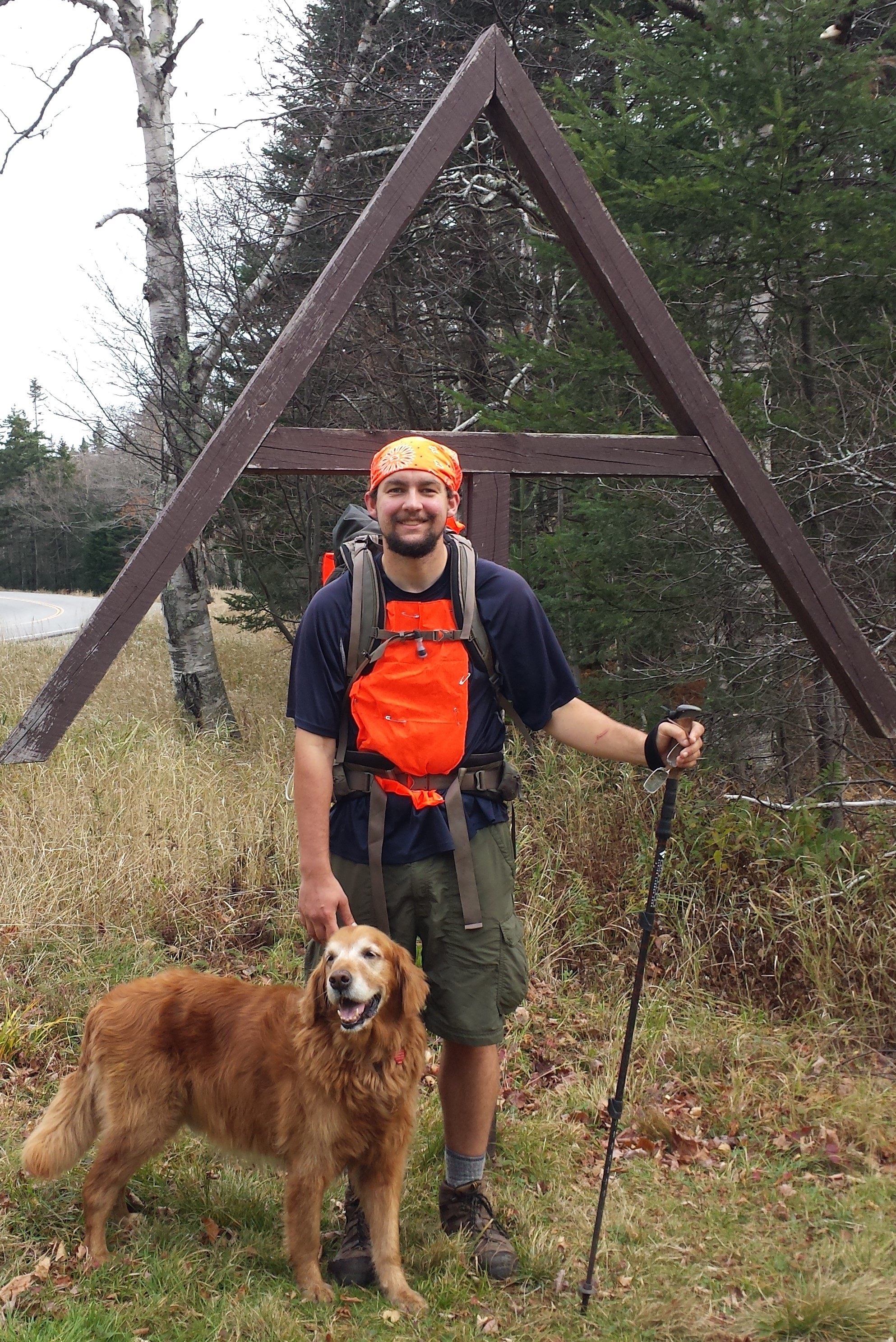
I pocketed it and hiked the last two miles out to Grafton Notch, moving easily downhill at top speed, managing to arrive by 9:35am, within five minutes of when I’d planned. Copper and Mama met me well before the trailhead, because they had hiked in to meet me, so I received a grand escort back to the road, and stood for my last Maine photo shoot.
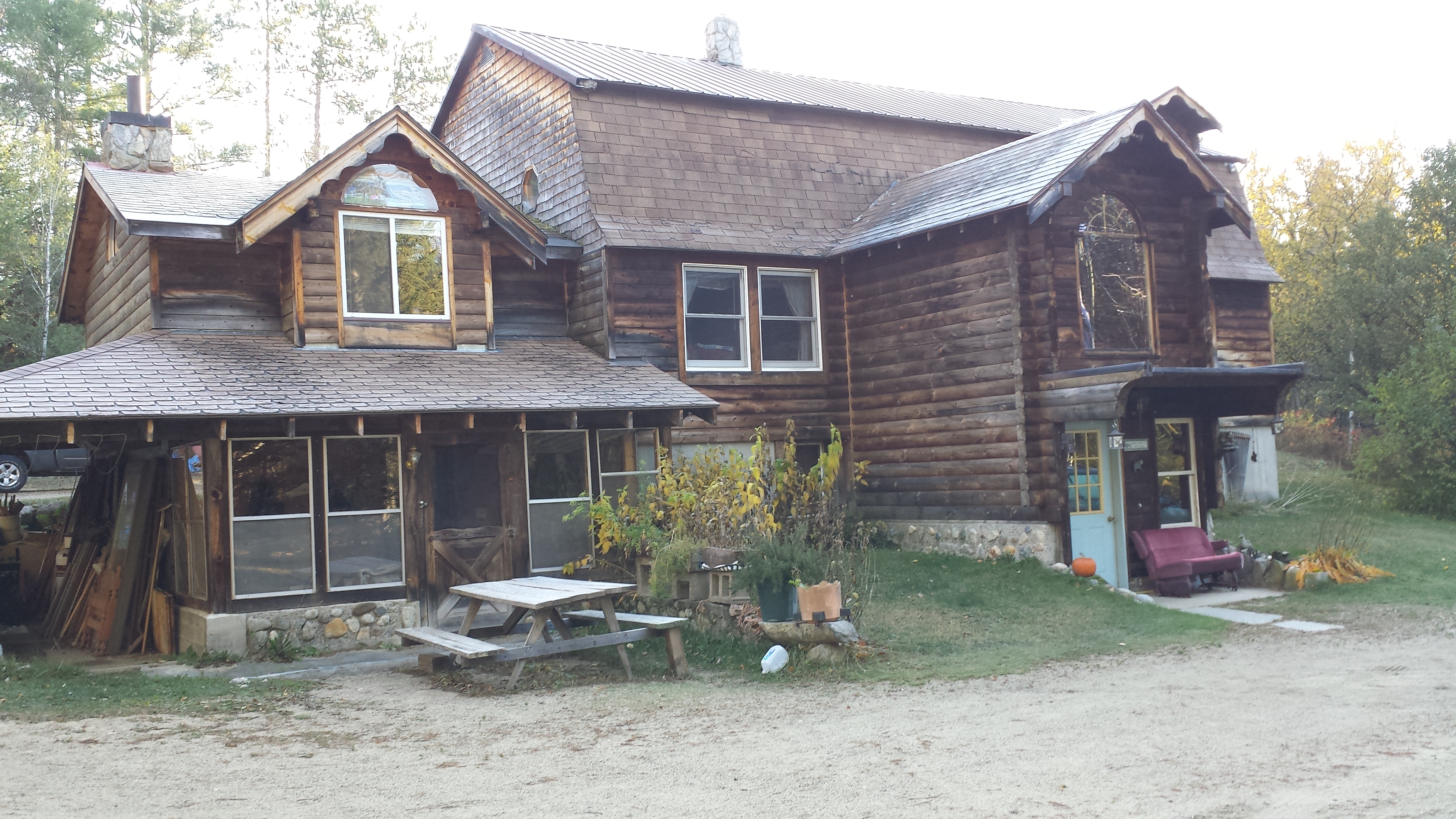
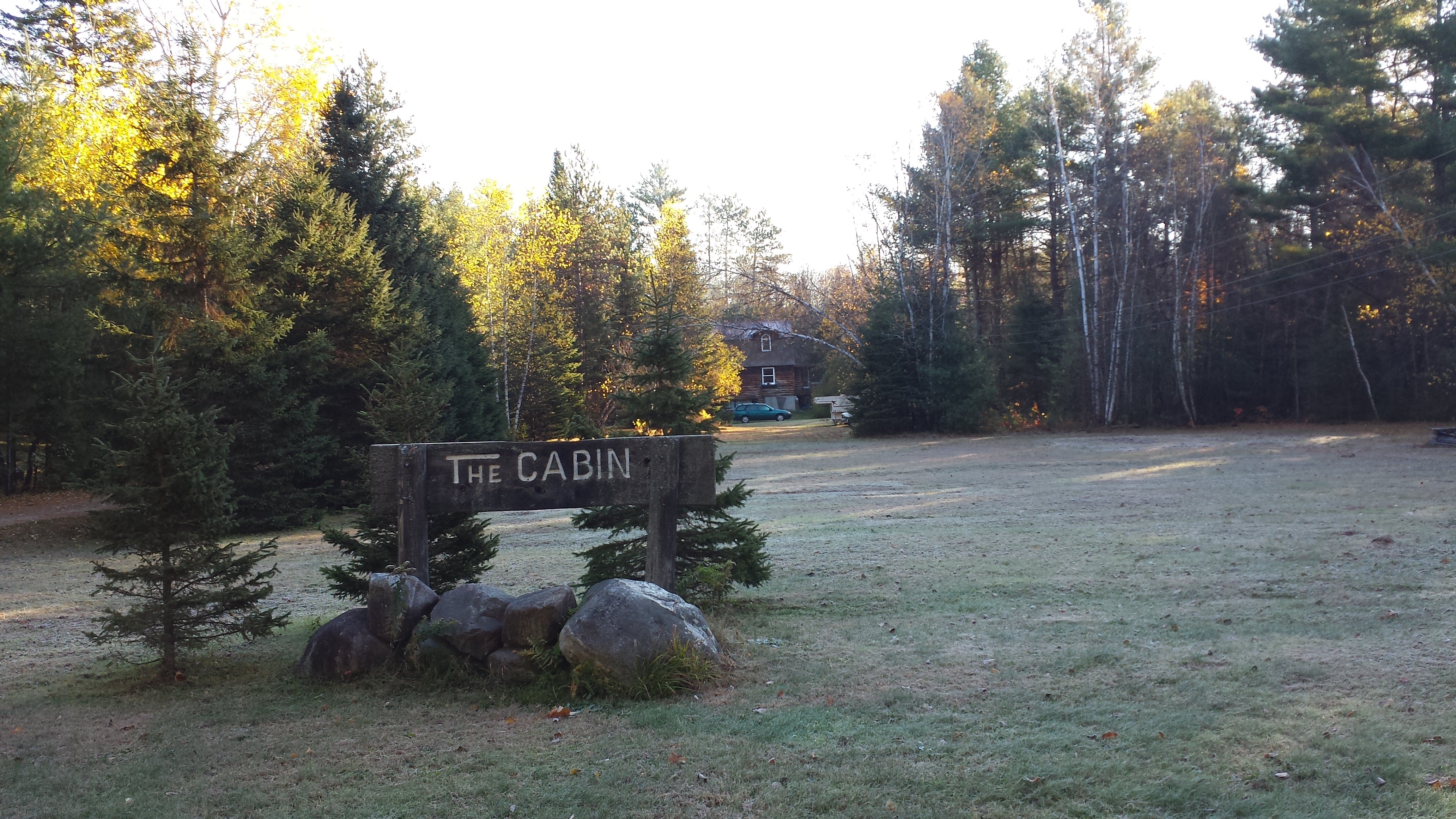
But let’s rewind a moment. What had I missed while I’d been running through the woods? After dropping me off the previous day, Daddy had wanted to get some breakfast, so they went to a restaurant in Andover. He went in and ate while Copper walked Mama around town. After that, they decided to pay a visit to the hostel that I had planned to stay at before I knew where and when I’d be meeting my parents in Maine. Unfortunately, I never even got to visit. Mama took some pictures of the place, its proprietors Honey and Bear, and whichever hiker was there at the time:
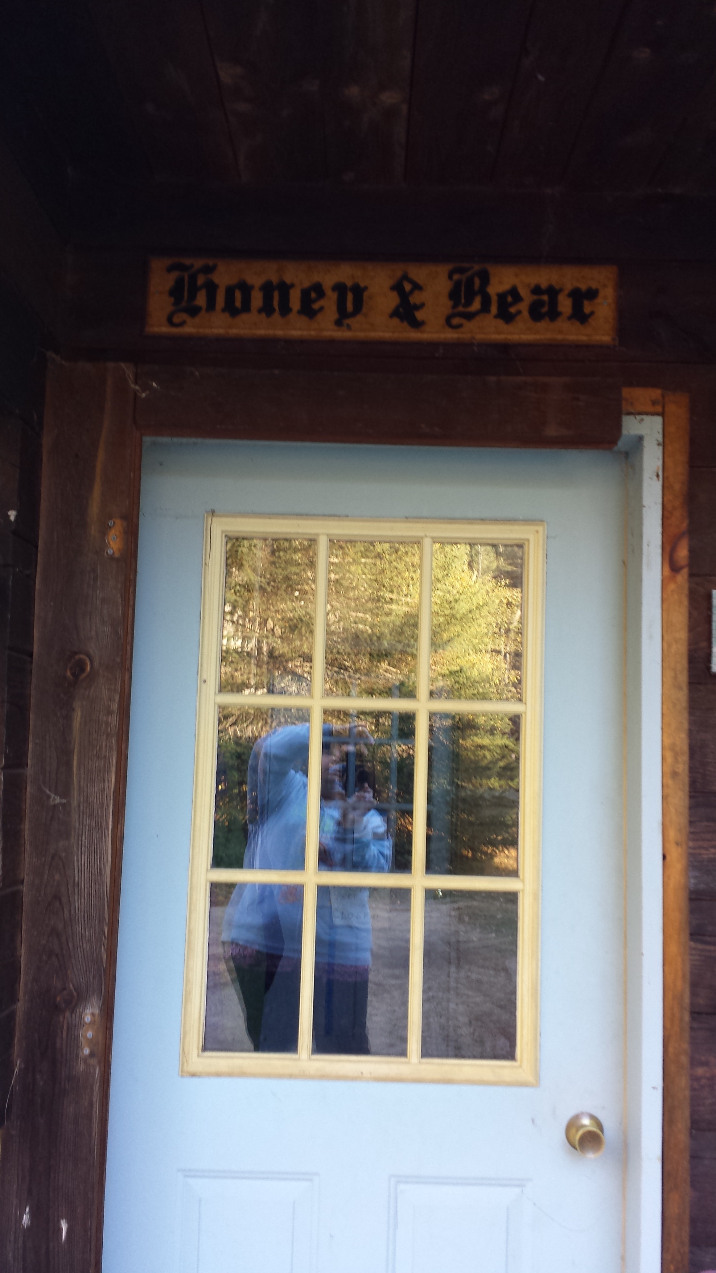


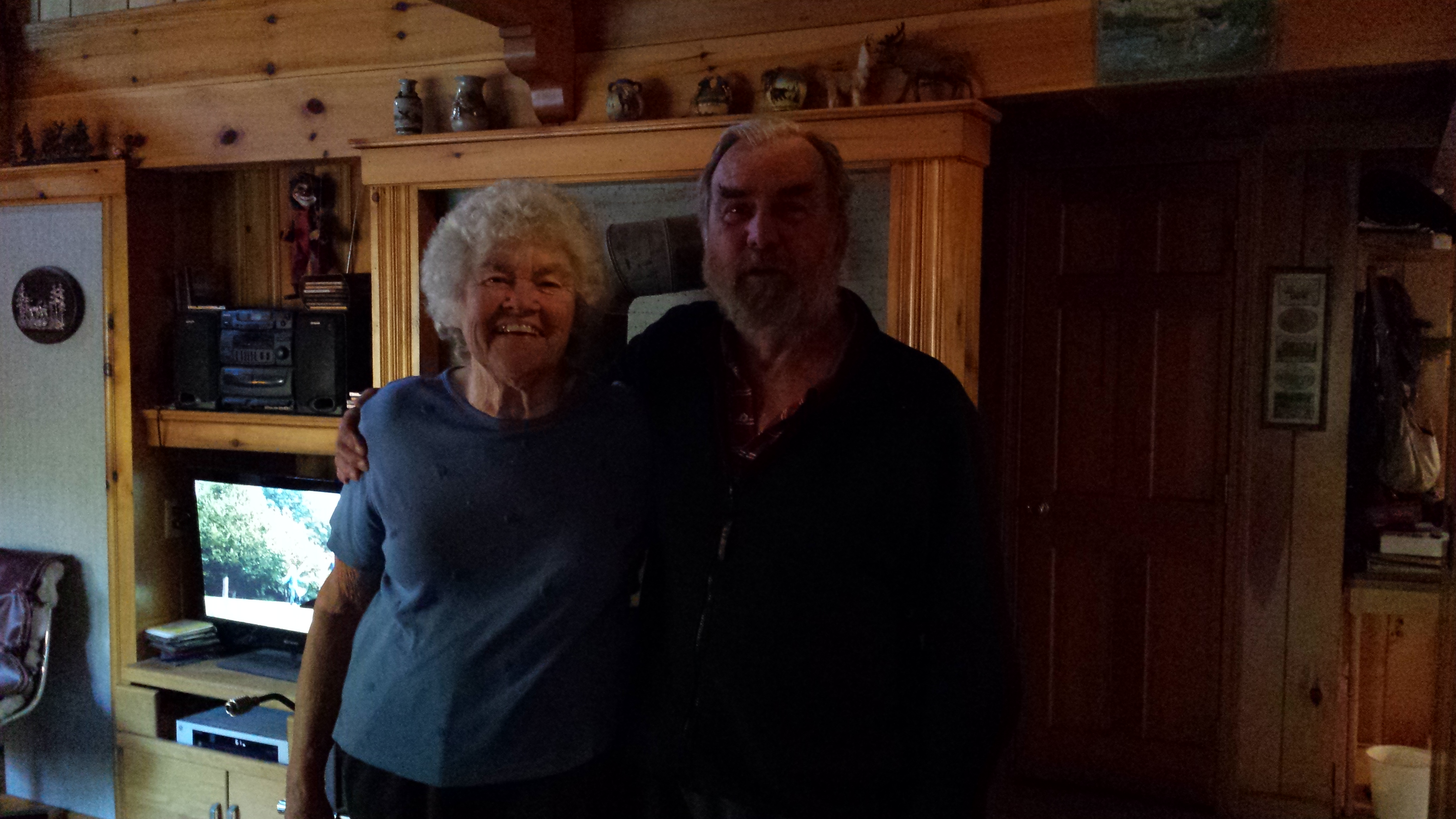
Mama got a tour of the property from Bear, who said it might be their last year in operation, given that he’d had a stroke the year previous and it had become too difficult to maintain the place. In fact, he’d been unable to complete a garage he’d started building before the stroke and a previous thru-hiker had come back in 2013 to finish it for him.
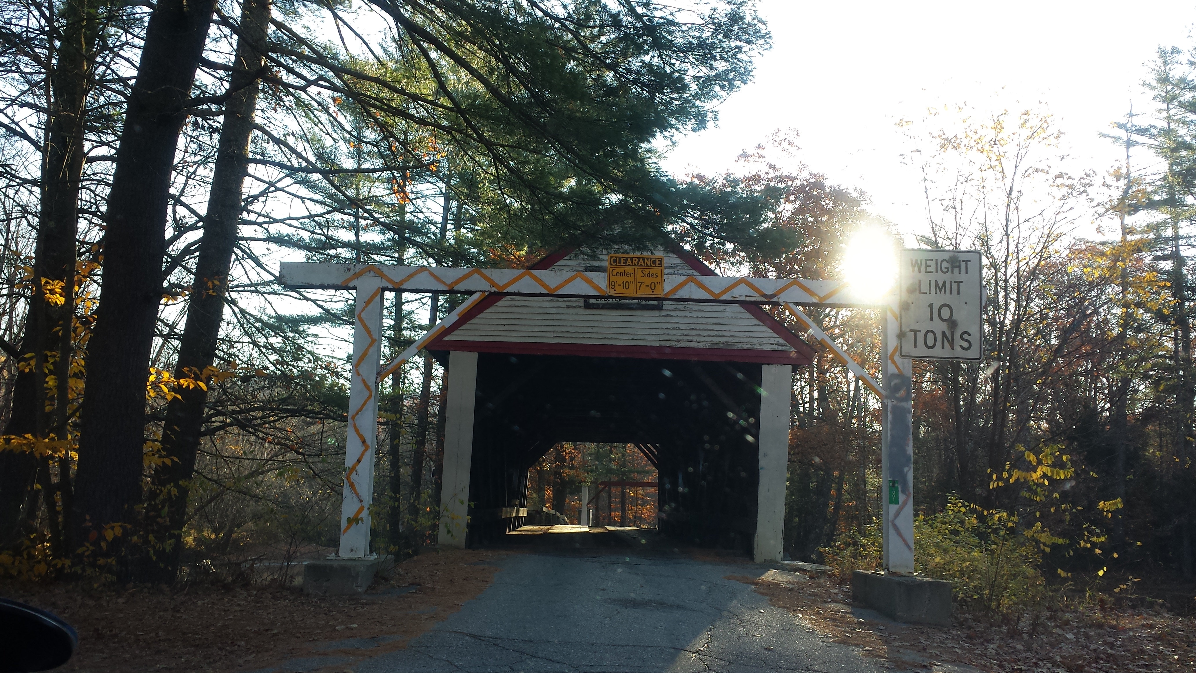
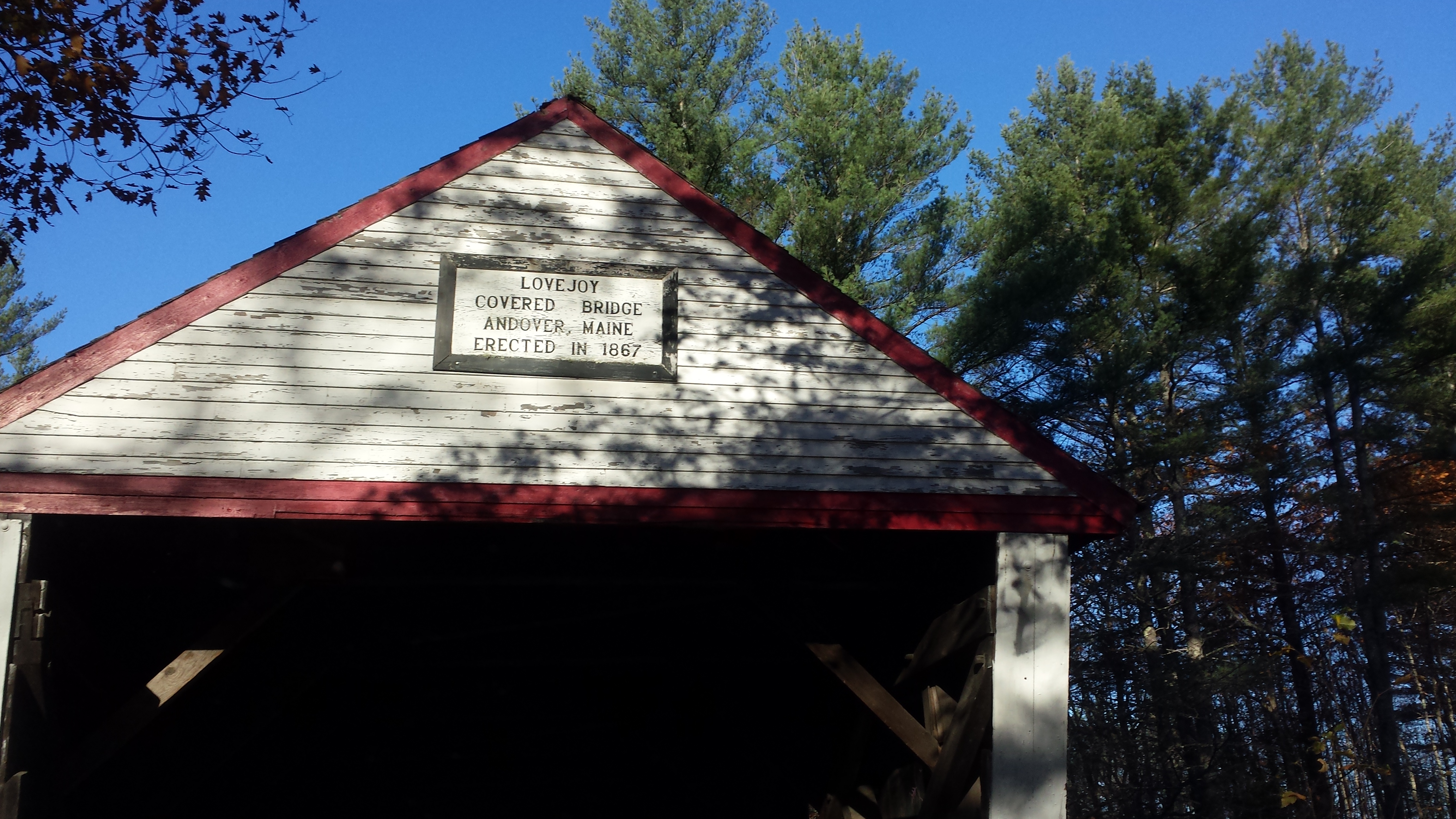
On there way there and back, they had to cross the oldest covered bridge in Maine, the Lovejoy Bridge, built in 1967 for the staggering sum of $743.45. (Adjusted for inflation, that’s $12,208.99 in 2013 dollars. Compare to the cost today of just cutting up a flatcar of the same length to span the same brook, which is over $20,000 not even considering permits and legal costs. A proper concrete bridge would surely be even more.) Mama even got out to take pictures of the water. You can read more about the bridge here.

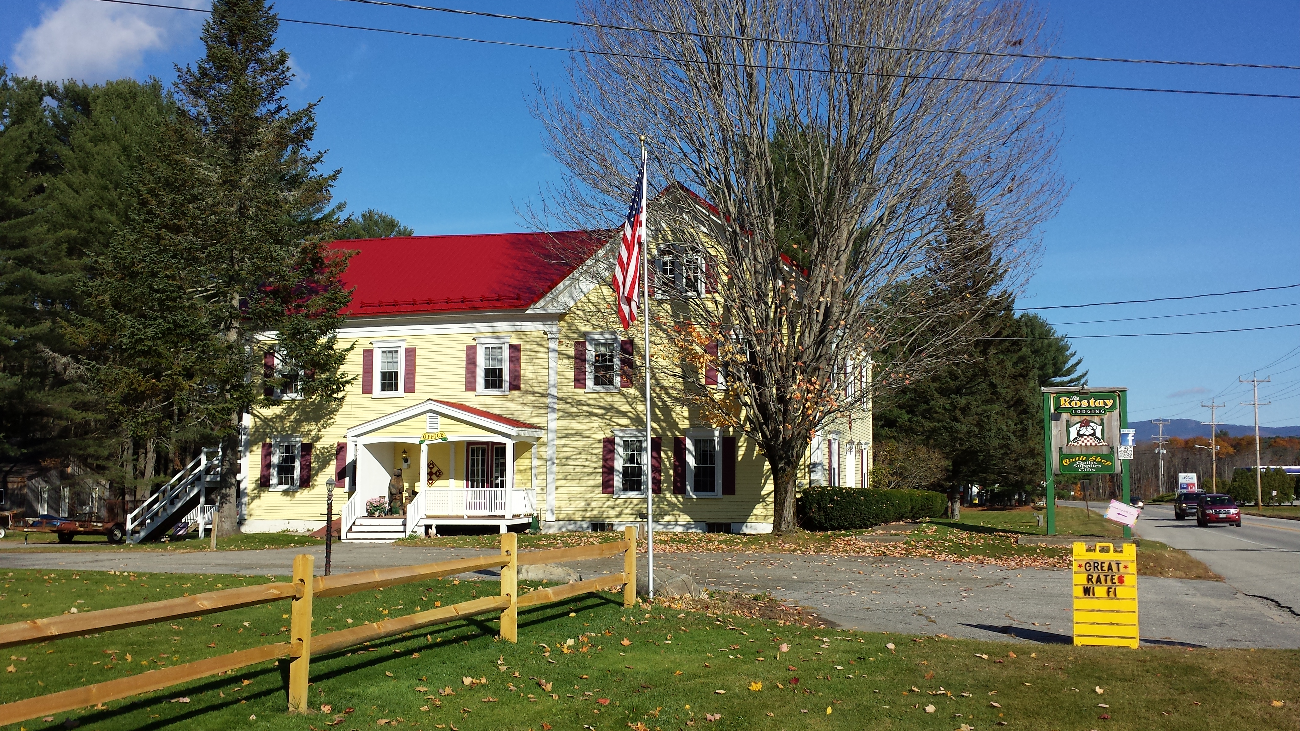
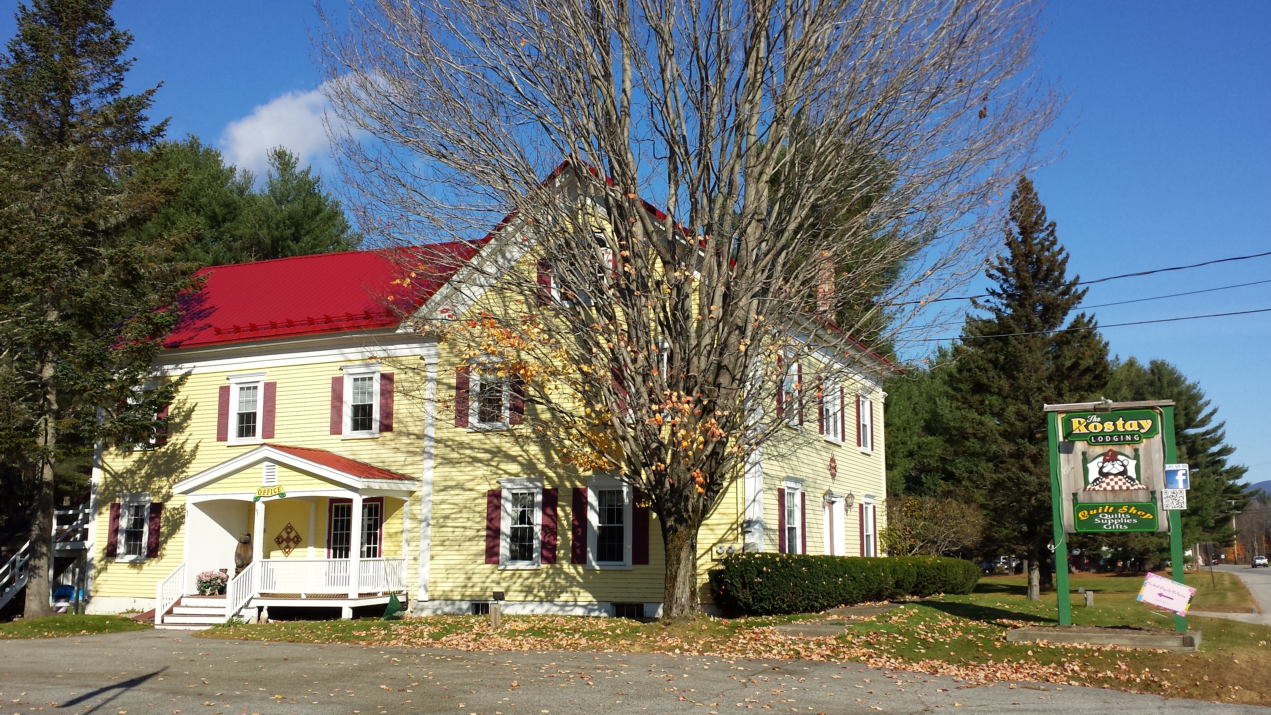
They moved in at the Rostay Inn that night, which was situated directly adjacent a number of cross-country ski and snowmobile trails, for the winter guests. Copper went for a long walk on these trails with Mama, though not quite a full day’s hike. When my parents picked picked me up at Grafton Notch in the morning, they first took me back to the Rostay so that I could shower before spending a long day riding in a small car with them, and I took a few minutes afterward to explore the property and give Copper a last walk before he too spent a day cooped up in a car. Meanwhile, Mama explored their quilting shop and Daddy got some extra supplies and packed the car just right for a road trip of this magnitude.
Soon, it was time to start driving, and that was all on Daddy. We put it in the GPS and picked the fastest route, which turned out to be a mistake. We had intended to avoid it, but the GPS took us right through the heart of the New York City and over the George Washington bridge during rush hour. (I know what you’re thinking. Why not the Newburgh-Beacon or the Tappan Zee? What were even doing on I-95 in the first place? I blame Google.) I’m surprised Daddy has any tooth enamel left after dealing with the crazy drivers, but we managed to get through it alive and without even a scratch on the fender.
Also, we stopped at a truck stop somewhere on the interstate in Mass, and I took a picture of a claw machine, because i was surprised at the sheer number of different franchises from different companies were in the same space together. Domokuns, Annoying Oranges, Spongebobs, Washington Wizards foam fingers (????), Cut The Rope monsters, and I have no idea what those aliens are. . . .

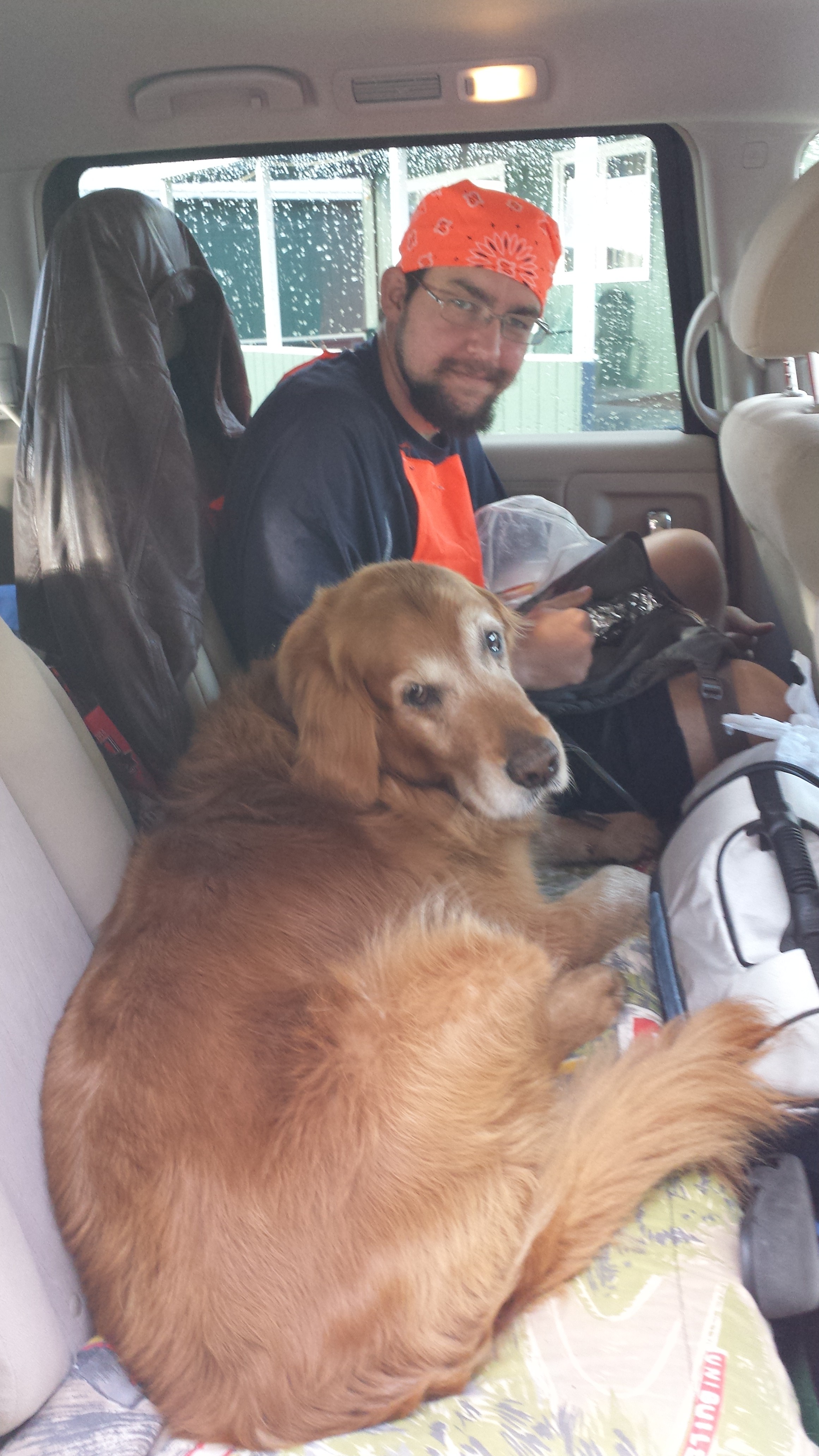
Somewhere in New Jersey, we took an exit and headed west into the sunset until we hit Harrisburg, PA. At no point on this trip did we stop for lunch or dinner. We snacked on nuts and cheese. Copper didn’t even get to eat until we arrived in the parking lot of the Town-Place Suites. I walked him around the parking lot in the dark, and then put him back in the car to spend the night because there was no way to get him up to our room without walking him through the lobby. Mama and I spent some time in the hot tub discussing the schedule for the remainder of my trip, and then I went out to give Copper one last walk before we hit the sack.
In the morning, Mama and I ate breakfast in the hotel breakfast room, and then I went out to walk Copper. We walked all over an embankment held up out of the parking lot by a large cement wall. I think I might have been brushing my teeth while we walked, or something weird like that. Eventually, I looked down and saw Daddy by the car, and we worked our way back down to the car. Copper had used the bathroom and gotten the morning kinks out, so we were both ready for the long, compacted ride to Fontana Village. It would be an hour shorter than the previous day’s 10.5 hours, but it’s hard not to notice any stint longer than 8 hours in a vehicle.
Copper knows how to deal with long car rides. Yes, those are my knees.
Since it wasn’t really smart skipping dinner like we’d done the previous day, we found a Cracker Barrel near the interstate in North Carolina before we headed off over the mountains to get to Fontana. Despite the fact we were not in a trail town, this particular Cracker Barrel was aware of the trail being not too far aware.
This time the GPS took down the famed Tail of the Dragon highway, unbeknownst to us until we were on it. And it was after dark when we got to that part. Yes, there were still bikers out riding it in the dark. We think they are crazy.
We got a room at the Fontana Lodge on the bottom floor, so we had a sliding door opening right onto the parking lot. We snuck Copper in this way and carried in the luggage too. It was on this little slope between the car and the room door that Mama stepped into a hole and injured her leg. Remember this fact.
I spent the entire rest of the night in the room scattering my stuff everywhere to repack it for solo long-distance hiking, and fixing little things that needed mending before I started. I didn’t get to bed before midnight, and that was with Mama helping and keeping me focused. It’s hard for me to believe how late midnight was for me then, given that I’m writing these words at 2:24AM. In any case, I had to be up at the crack of dawn, eat a good breakfast and get an early start hiking, because the plan was to reach Springer in ten days, which meant an average of over 16 miles a day with a full pack, including getting into and out of town. It would be the longest distance I had ever continuously hiked unsupported without taking at least a nero, and the plan called for a 23 mile day my first day. I can’t say I was absolutely sure of myself, but I was buoyed a bit by how tame the profile looked compared to Maine. I committed to it by fixing the date for my arrival party on November 3rd, so I really had no choice.
Oh, and Copper would finally be back on the trail with me. How could I know if he was up for it? But that story will have to wait for the next post.
Anyway, that was a lot more writing than I expected. Can you believe that I actually originally intended to write about my last nine days in Maine all in one post? I had thought I didn’t remember all that much from that leg, but I sure found a way to write a lot anyway. When I hit day 5 and I’d already done 10,000 words (including most of the following paragraph), I realized I had to split it. I could probably make a post last less than 10,000 words if I didn’t go off on so many tangents.
I’m pretty stoked that this story has only two posts left in it. It will be so nice to have this burden lifted (for the most part) and move onto something else. It’s so time-consuming it’s become a burden. Who would have guessed I’d still be writing this more than a half a year after I finished my hike? The majority of thru-hike bloggers quit writing once they get home. I’ve even seen one that ended in Monson—they never wrote the part about the last hundred miles. And the majority of thru-hike blogs contain the barest and sketchiest of details. I am the victim of my own ambition, it seems. A conservative estimate places this blog at over 200,000 words to date, and a probably-more-accurate estimate gives 300,000. That’s more work than I’ve ever put into any literary project—and quite possibly any project period—in my entire life. But it’s fair—one shouldn’t get to have an experience like this without paying some outlandish price for it—and it’s what I wanted to do. And now it’s what I want to be done with. Just a few more weeks. That’s all I need. See you back here soon, I hope.
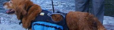
Copper! I approve of the signs in French.
I’m impressed you remembered so much stuff to make such a detailed blog about it, especially things from so long ago. If I did such a thing, it would be barely detailed.
This post has such sweet memories. Wish I could relive it all again. #neverenough