Tag Archives: #rocks

Speed-running Southern Maine Part 2

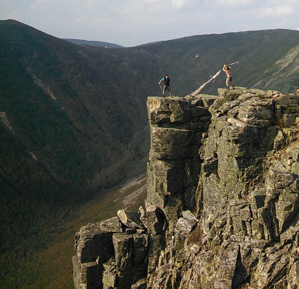
During our 45-minute meeting on the side of the road, as action-packed as it was, my parents had a few moments to spare a word or two about the cottages they’d been in the past two nights (and in which I would spend that night). They sounded nice, but I was a hiking fool. I looked and smelled like I needed a shower, but I felt rested and energized and ready to hike my greasy head across another 13 mile stretch. The range of elevations would be only 1300 feet, with the change spread out over the whole day, and I was ready for an easy day. (Compare this with the multiple 2500 foot elevation changes of the previous day.) In fact, it would be even easier than it looked: the terrain was downright pleasant.

Continue reading

Easing Into Maine . . . Before Racing Across It

As I just mentioned, the southern part of Maine is known as the most rugged part of the A.T. From the day I left Gorham, it took me three days to do the first 26 miles in the Mahoosucs to Grafton Notch, where I arranged, while at the White Mountains Lodge, for my parents to pick me up. Since it was the beginning of October (this post begins with the 29th of September), I had no other chance to make the Kennebec River crossing or be guaranteed a chance to climb Katahdin if I didn’t skip ahead and do it before most of Maine. Also, I could do the rest of Maine a lot faster without a dog and a pack, and given that there was almost no one left on the trail this far back, I had no reason to draw out my trip any longer. It was time to get a move on. So, this was the plan: get to Grafton Notch, ride to Caratunk, do the Kennebec crossing, ride to Monson, do the 100 mile wilderness and Katahdin, and then slackpack the rest of the state southbound in nine days, before driving back south to do North Carolina and Georgia. It was to be a whirlwind tour of Maine, to be completed (I hoped) before it started snowing. This post should bring the story as far as Monson, after which I expect the story can be finished in just four more posts. So close!

Continue reading

If ya can’t beat ’em, Gorham to Pinkham

…And we’re back!

After about 2 weeks, I’d managed to complete about 70 miles of the “real” Whites. That averages to about five miles per day. Even two months before, when I’d spent half of every day swimming in lakes, I was averaging better than that. And I still had 45 left to go before the Maine border. And I can tell you now: my average didn’t improve much at all for the remainder of it. When it comes to arduous hiking, there’s nothing like the Whites anywhere on the eastern seaboard.

I had set myself up on the edge of the road and the parking lot so I could try to bum rides from hikers leaving or entering the woods. It didn’t take super long to find a couple in a van headed towards Gorham on the way out of state and home. They took me to Gorham, and I explained that actually I was trying to get to the Lodge just on the eastern end of town near the A.T. They were perfectly happy to carry me that far, even though it was well out of their way.

Eventually (eons later), an older couple in a van picked me up, indicating that they were hikers themselves and very amenable to giving them a lift when they get the chance. They drove me right to the doorstep of the Lodge, even though it was much farther than I expected, way past the far end of town.

Continue reading

Things are looking up, but I’m slowing down, and Copper’s right out

A nasty bout of weather cut short my one-week-to-Pinkham-Notch plan after a mere 5 days. Six days after being shuttled from Chet’s out to Kinsman Notch, I was back again. And I wasn’t the only one. Icarus was back again, having spent the past few days hiking the Pemi with Damselfly and Splash. He showed me pictures they took cavorting on the edge of Bondcliff and enjoined me to go see it myself, extolling it as the most beautiful spot in the Whites, and judging from the pictures, it seemed likely he wasn’t exaggerating.

1265415_10151859650750033_2100647129_o

An epic battle for Bondcliff (by Rachel “Damselfly” Kirchoefner, with Chris Eli “Icarus” Polett and Josh “Splash” Isbell)

Continue reading

Beeline for the Treeline

I was one of the first out of bed that morning at Hikers Welcome Hostel. I was in the lounge before the pancakes were. I ate as much of what looked good as I could get my hands on, and made sure my slackpack was packed and the rest of my gear squared away to catch the first shuttle to the other side of Moosilauke.

The weather was actually pretty good for climbing a four-thousand footer that morning. There was fog and cloud early on, but it was clear by the time Copper and I hit the trail and started climbing. It stayed cloudy all day, but it didn’t rain until the afternoon, and was just gorgeous through the hiking part of the day.

The AT runs right past a parking lot at Kinsman Notch, so Copper was already on the trail before I had gotten out of the car and put my fanny pack (which detaches from my pack) on. He was trying to go north though. I called him back, and soon we were walking alongside the Beaver Brook.

Moosilauke doesn’t play around. Going southbound, you start climbing almost immediately, and the trail literally climbs the edge of the waterfalls, perhaps somewhat like the Panther Creek Falls Trail in North Georgia, only steeper and more popular.

image

Continue reading

Pennsylvania Rocks

I woke up in Rausch Gap before the other two hammockers. I walked down to the (recently-restored) shelter and said hello to the one hiker who stayed there, and admired the spring, which came right out of the retaining wall and landed in a large metal tray inches from the shelter. I greeted the bees who had taken over the shelter and used the privy. I drank my breakfast and returned to camp, packing up and leaving before the other hammockers had even gotten up.
Rausch Gap, it turns out, was once a thriving coal mining and railroad parts repair community in the late nineteenth century. The mining was poor and the railroad moved operations elsewhere, so it wasn’t long before the community disappeared. The road still running through where it stood and an old cemetery is just about all that remains.
Things go very fast for me for the next few days. This morning, I was down to the road in just a few hours. I had to go through a meadow, over a road, beside a creek (where I stopped to collect water), under a road, over a pedestrian bridge, and under the highway (which towered above me on stilts). By the time I climbed halfway up the hill, it was sweltering out and time for my afternoon nap. I hung in my hammock for four hours or so, checking messages and getting forty winks. I weather a short afternoon storm, and then when it felt like it was starting to cool off, I packed up and headed on, hoping to get to 501 Shelter that night.

Continue reading

More Rain, More Rocks, Out of Maryland

April Johanssen, a 35-year-old single mom, is turning her life around by getting back to nature. After years of rarely leaving her house in Chicago, she became obsessed with Harper’s Ferry and drew on the support of local and online communities to fund a break-out camping and hiking trip. It’s almost a week into that trip now, and her funds, those she didn’t spend on food and gear, are running low. So, she starts volunteering in exchange for her site at the hostel, and, because she’s got to work four hours a day, she’s not getting to much of the hiking she came to do. The debilitating migraines don’t help either. And when she does have time to hike, after all that work is done, for one reason or another, she just doesn’t feel like it. She’s not getting done the thing she came to do. She wants to try a longer trip with the backpack, but her tent is too big to carry, and she’s never even done a day hike with the pack on. She needs some practice, and a push.
So she had to climb up Weverton Cliffs with me. It’s only a couple of miles, after all, and I need someone to take my picture in front of that gorgeous view anyway.

Continue reading