As I just mentioned, the southern part of Maine is known as the most rugged part of the A.T. From the day I left Gorham, it took me three days to do the first 26 miles in the Mahoosucs to Grafton Notch, where I arranged, while at the White Mountains Lodge, for my parents to pick me up. Since it was the beginning of October (this post begins with the 29th of September), I had no other chance to make the Kennebec River crossing or be guaranteed a chance to climb Katahdin if I didn’t skip ahead and do it before most of Maine. Also, I could do the rest of Maine a lot faster without a dog and a pack, and given that there was almost no one left on the trail this far back, I had no reason to draw out my trip any longer. It was time to get a move on. So, this was the plan: get to Grafton Notch, ride to Caratunk, do the Kennebec crossing, ride to Monson, do the 100 mile wilderness and Katahdin, and then slackpack the rest of the state southbound in nine days, before driving back south to do North Carolina and Georgia. It was to be a whirlwind tour of Maine, to be completed (I hoped) before it started snowing. This post should bring the story as far as Monson, after which I expect the story can be finished in just four more posts. So close!
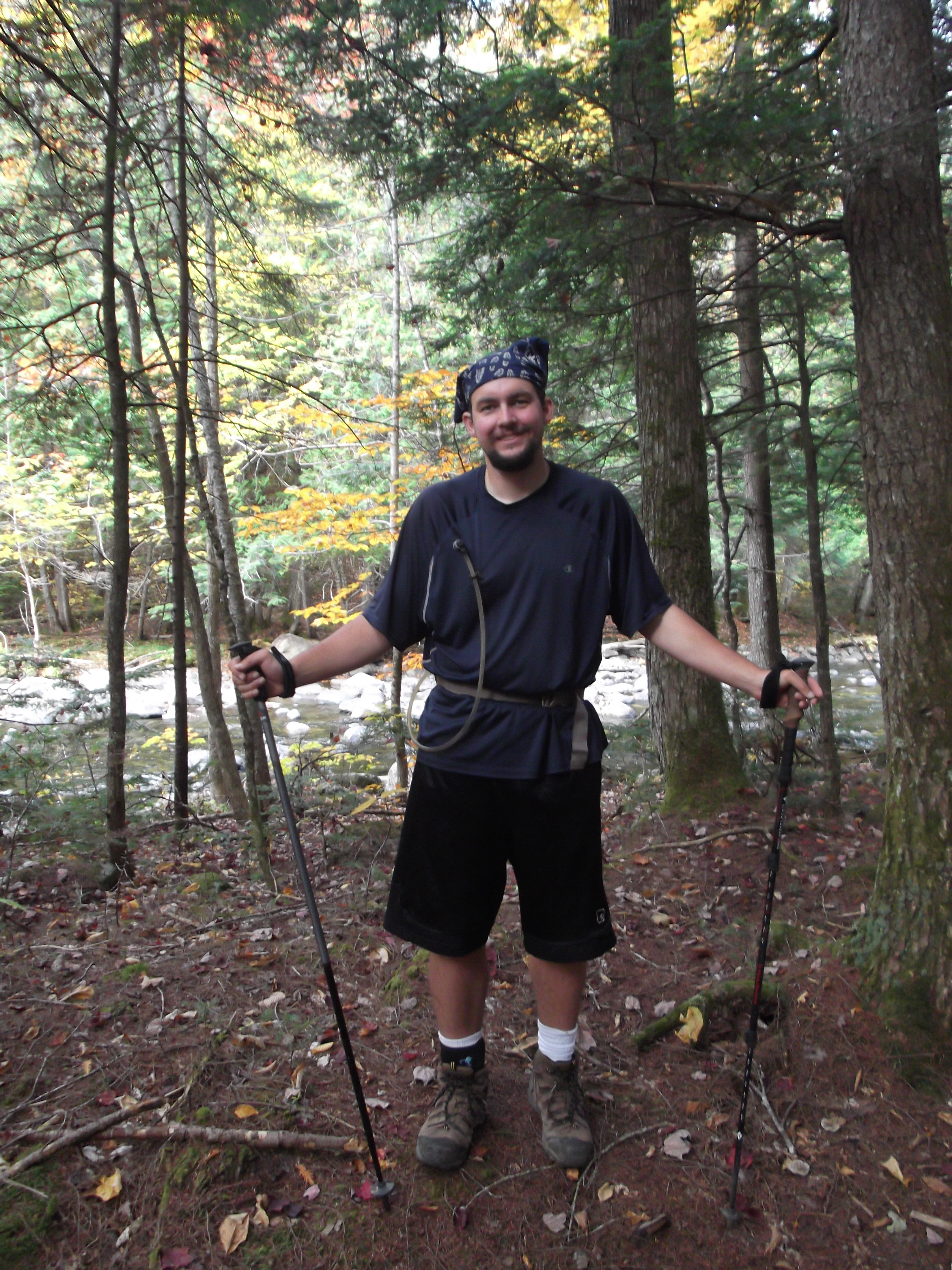
It took me quite a while to get out of White Mountains Lodge the next morning. There was breakfast being made, movies to watch, beer being offered up. . .and I had a few chores to do before I could leave as well. Even though it was just me and the kids running the lodge at that point, there were a lot of temptations to stay. They probably expected I wasn’t going to leave despite my assurances to the contrary. I finally got out the door around 2pm, and I’d barely made it to the side road that led back across the reservoir to the trail proper, when I met an old guy coming the other way. I hardly expected to meet a southbounder at the end of September, but I suppose there’s always some of those crazy loner winter hikers. He was on his way to check in at the lodge, so I pointed it out to him, and headed back down the way he came. (I also stopped to check out a box of “free walking sticks” on the side of the road, but they mostly looked like ski poles, and not as tough as the admittedly decrepit ones I was carrying so I left them be.)
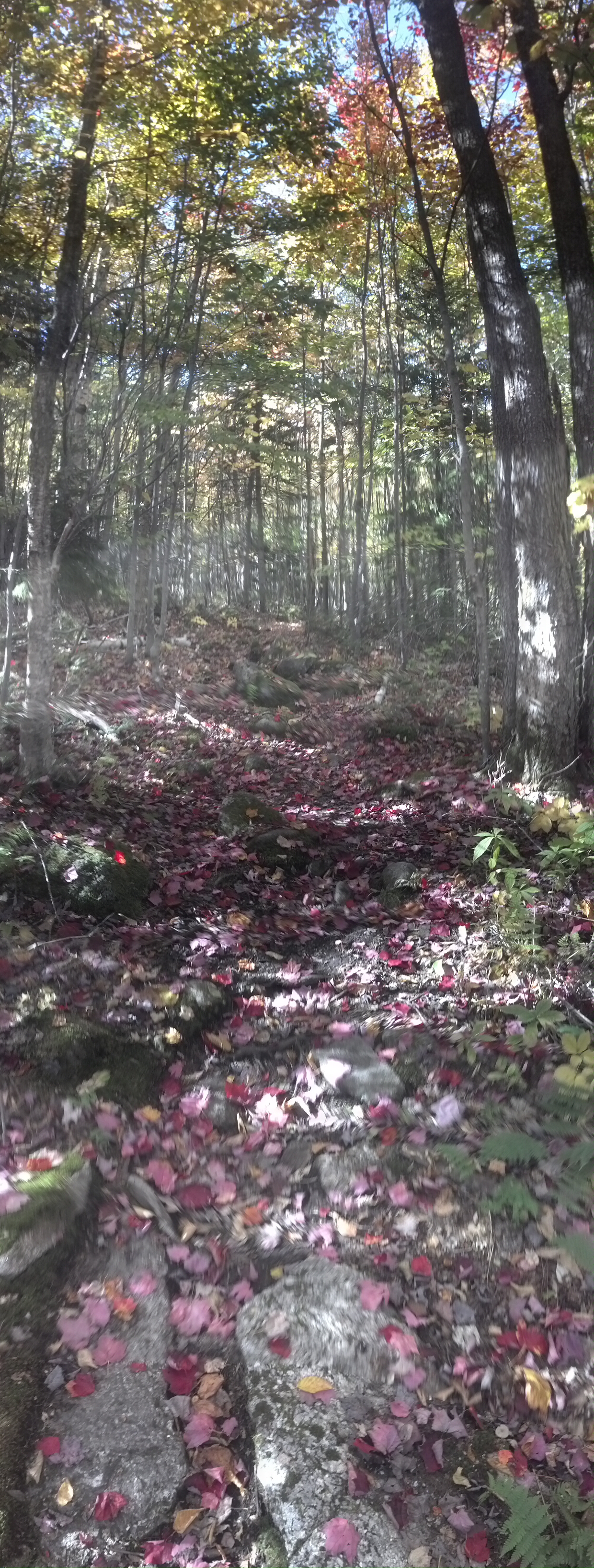
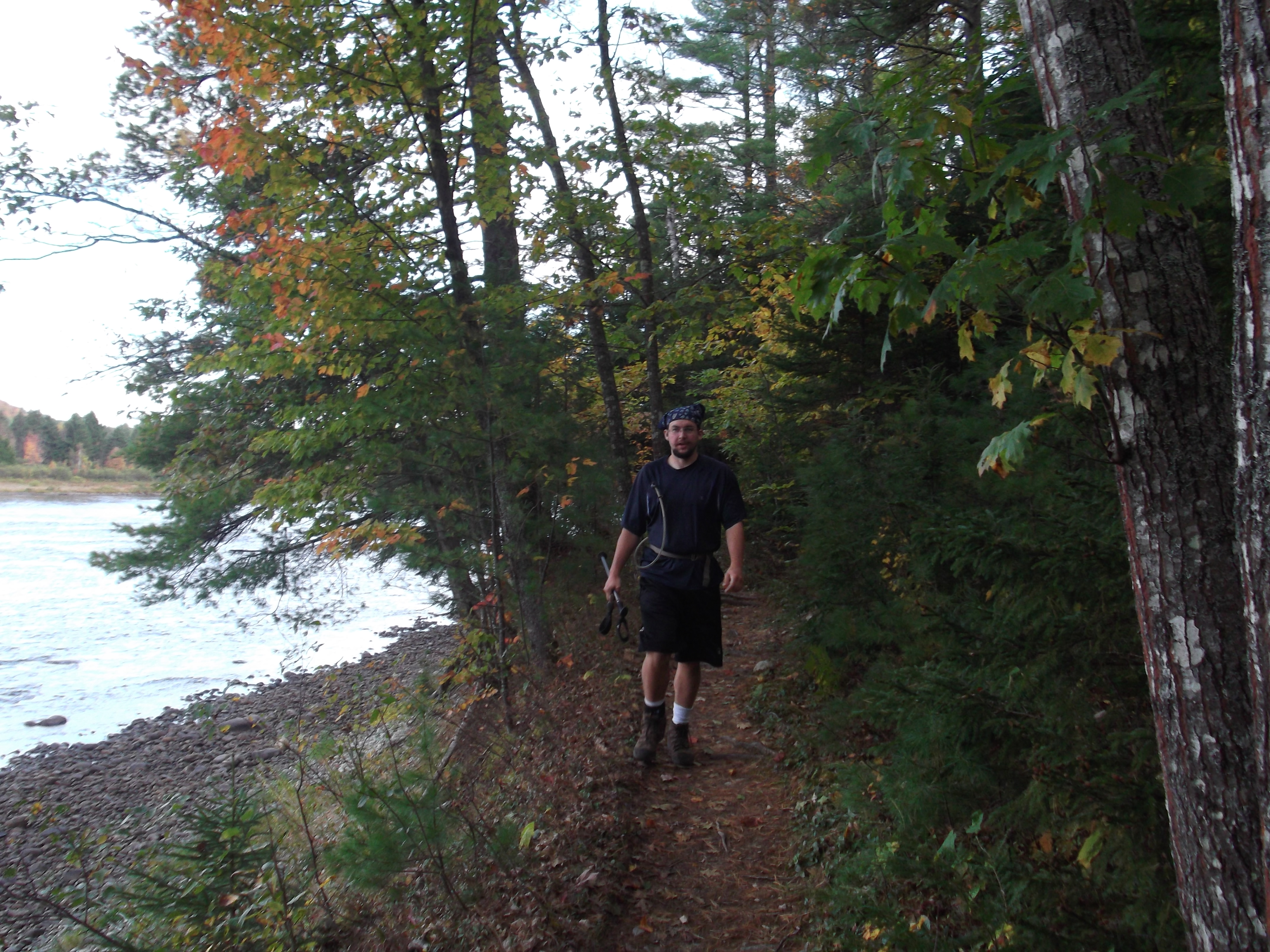
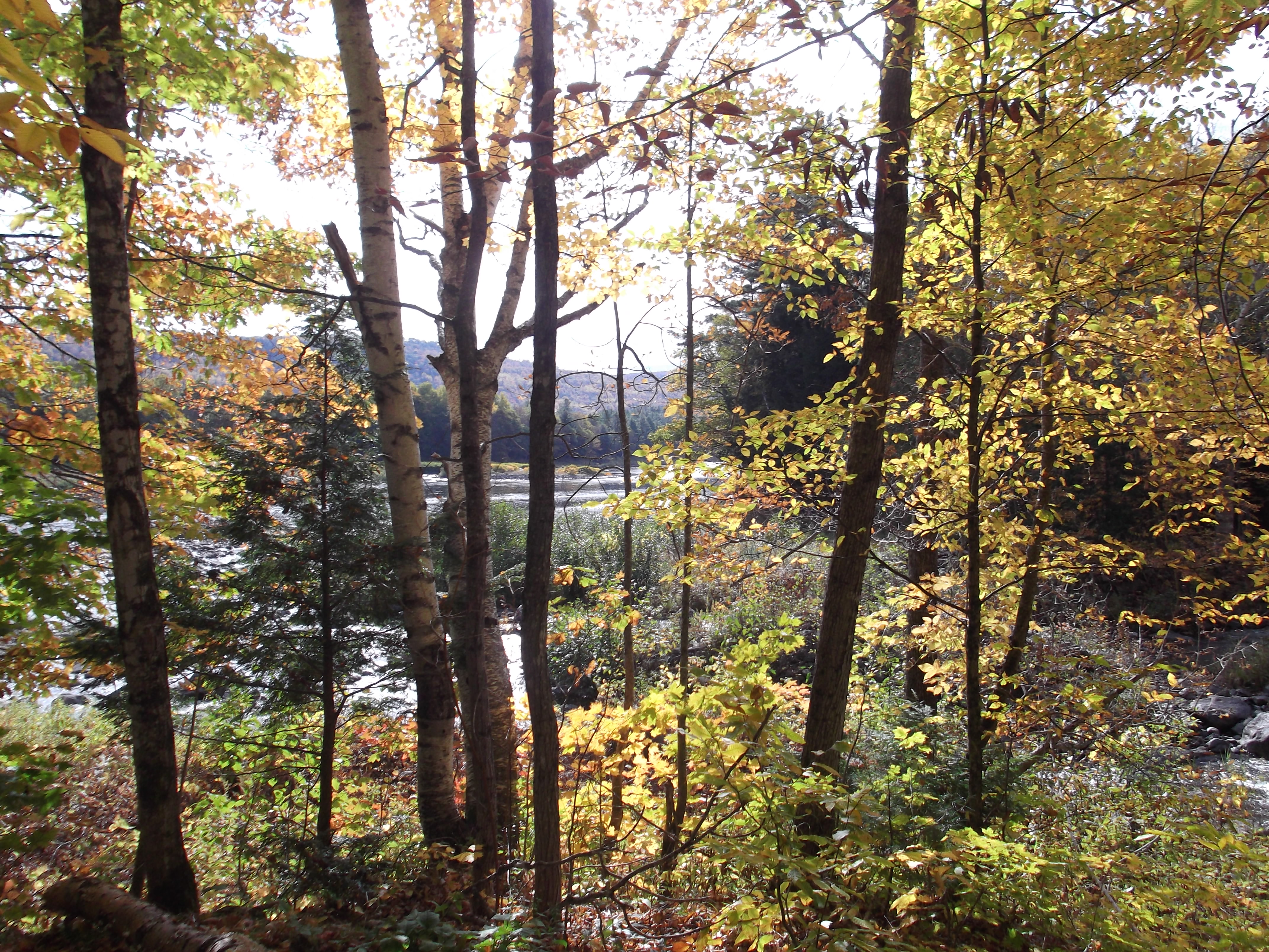
It had only been a couple of weeks since I entered the “real” Whites, and the leaves had gone from green to changing to fully colored to falling in droves in that short time frame. It was probably still considered “peak” season at this late date, but I was already seeing more leaves than trail on the ground. They fall off a lot faster than they do in the South. Nonetheless, it is still easy to find the trail. It is the part painted bright red:
The trail was pretty and easy like that for a a mile or two, though rapidly becoming very steep. I didn’t feel like I was “in the Mahoosucs” until I came out into in open rocky area near the top of Cascade Mountain. There were cairns heading in three directions, and the signs were rotted and pitted and falling down, so it took several tries before I found one with a white blaze on it: the Mahoosuc Trail. Then it was down off that mountain, where I soon saw another very interesting site.
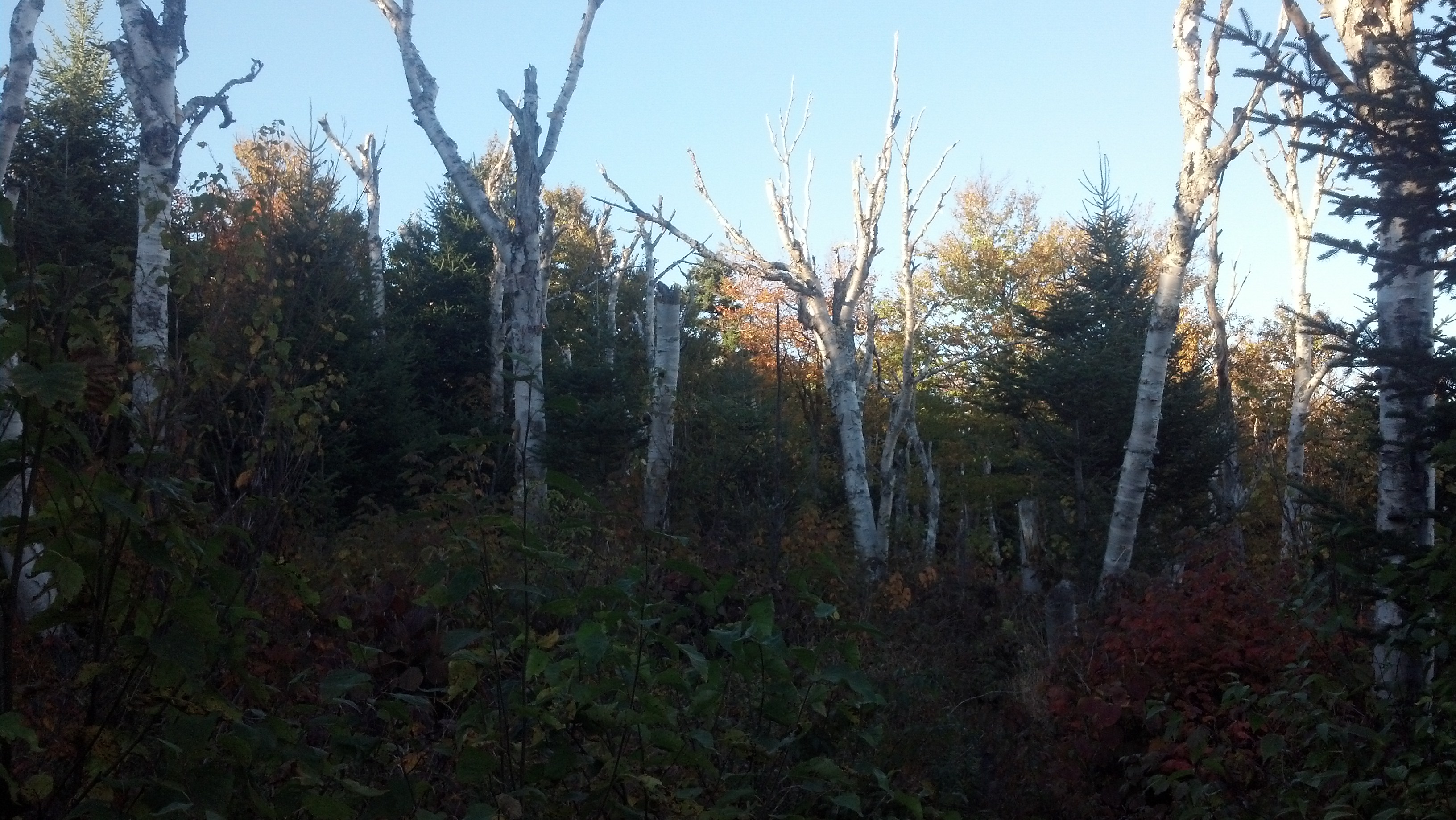
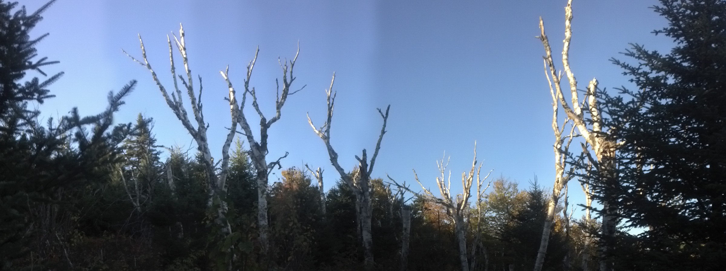
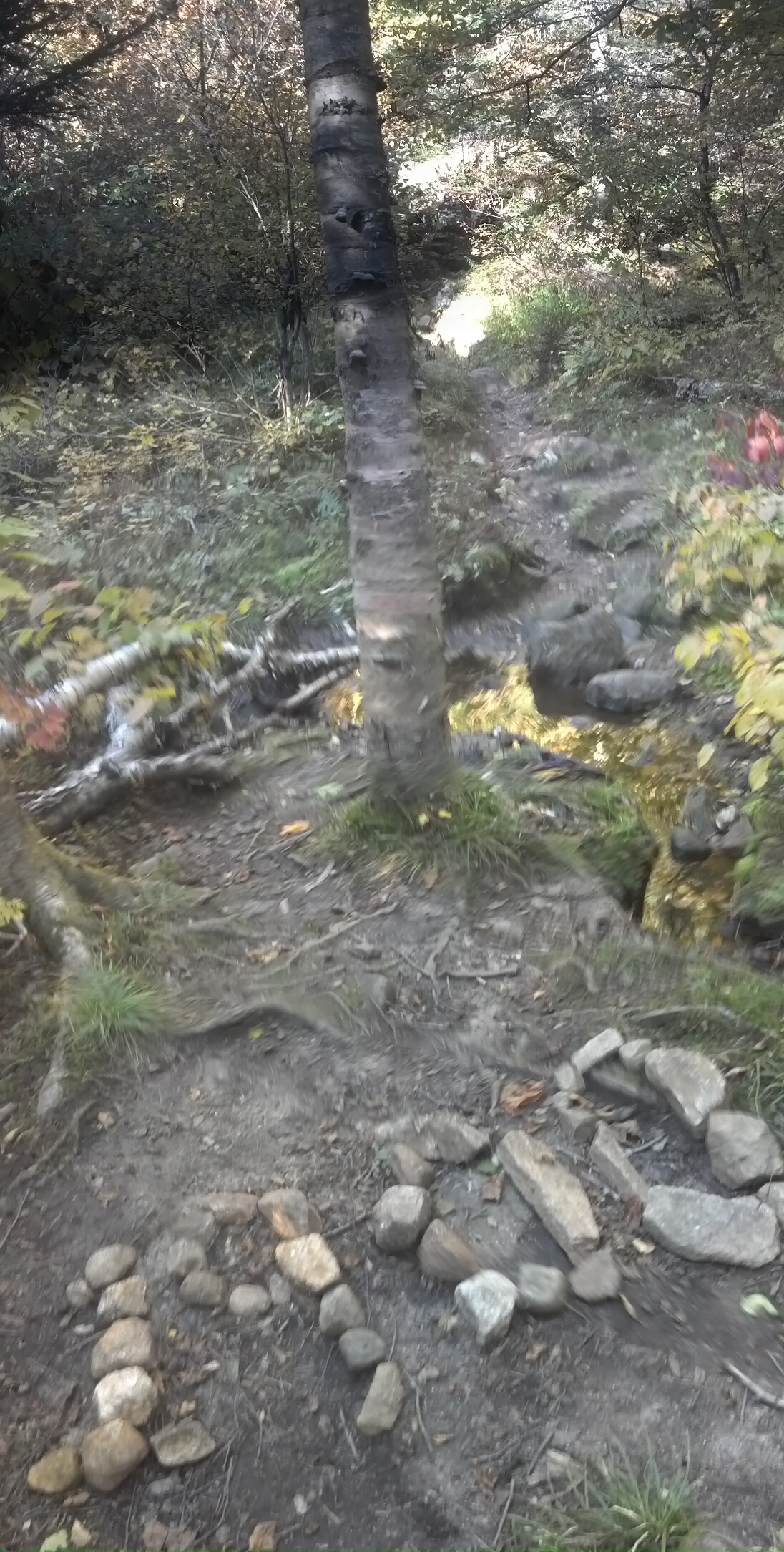
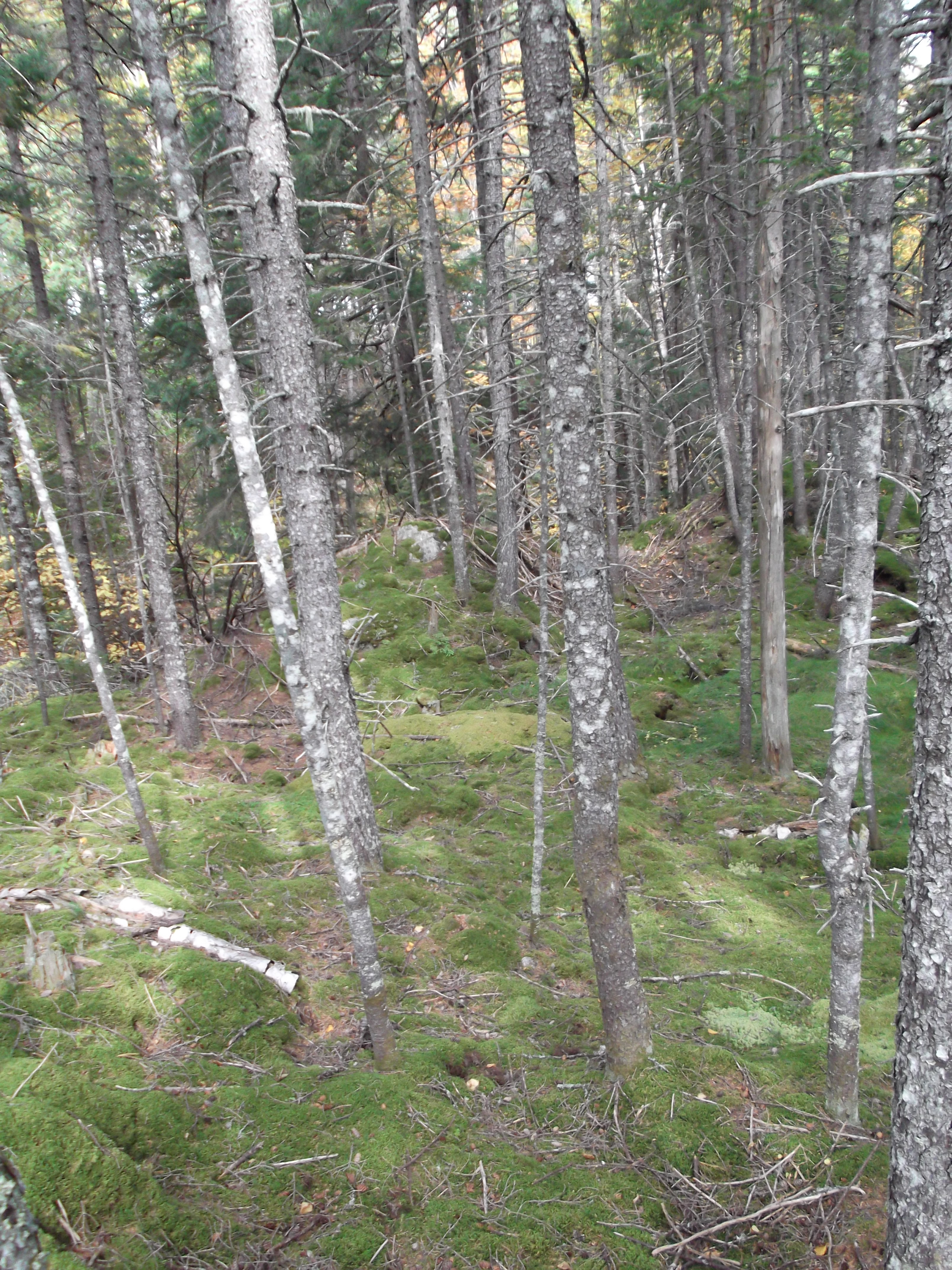
It was late in the afternoon as I came out into a strange clearing, almost completely clear except for a number of bare birch trees. I have no idea what may have caused this particular area to look this way, but it was striking enough to warrant more than one picture.
A short descent from there, and then I was climbing again up into Trident Col. The sun had been low in the sky on the summit of Cascade, and it was gone by the time I made it to Trident Col Campsite.
Trident Col is a new, clean campsite, with level dirt pads, a privy, and a bear box, but no shelter. I claimed the first small tent pad in the area, which was completely surrounded by trees on all sides. I was the only one who stayed there that night. Which wasn’t surprising, since I don’t recall seeing anyone else on the trail the entire evening. All the thru-hikers were well into Maine at this point. And I still had another day’s hiking to go to get there. The next ten miles over the border were much harder than the seven I’d done so far.
The next morning, I was woken by my bladder and the sun coming up. I still had the campsite to myself, so I just went right through the tent flap and took a leisurely breakfast inside. When I was finally packed, it was time to enjoy a pleasant stroll through a thick, wet autumnal forest over some very rugged terrain. For instance, just a mile from camp, the trail drops 500 feet in a tenth of a mile to the level of Page Pond. Yes, you can see it long before you get to it. It’s right below you!
The climb out of the valley is far more reasonable in terms of grade, over Wocket Ledge and down to Dream Lake, then up on to a mostly level ridge for a couple of miles before descending to the col where Gentian Pond Shelter lies just 0.2 miles off trail. I decided that wasn’t too far to go for a scenic lunch spot.
Someone has helpfully marked the 1900 mile marker somewhere within the Gentian Pond col.
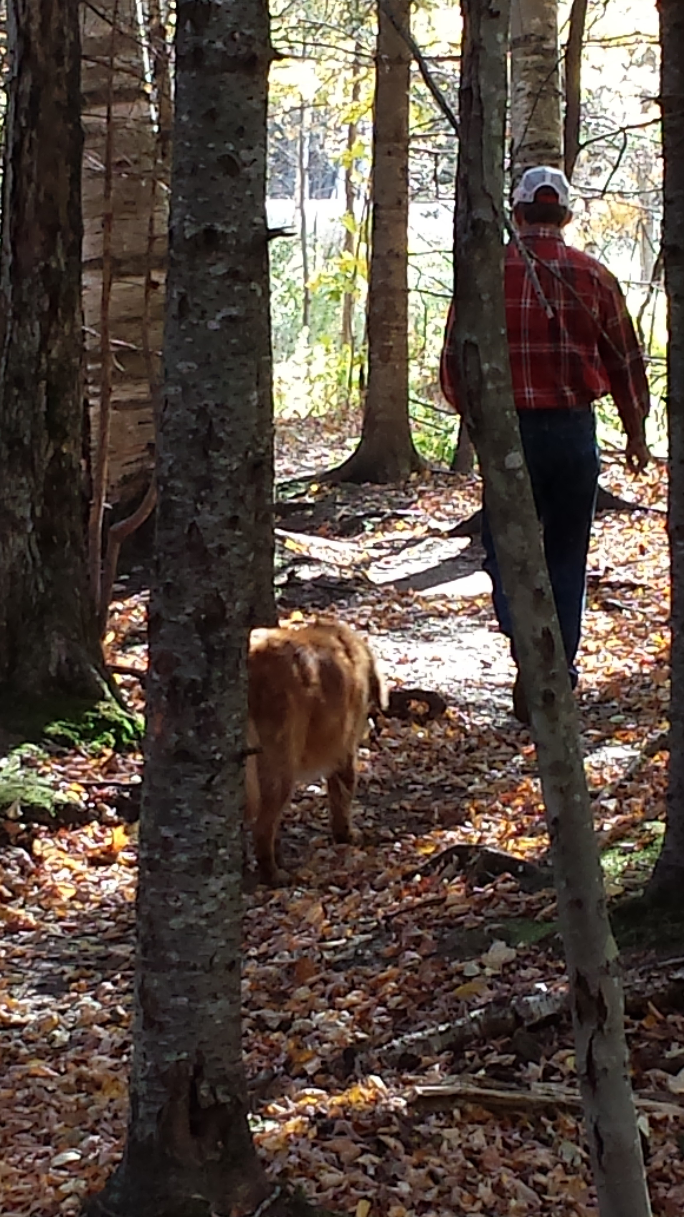
Gentian Pond is a newer shelter, and it’s pretty sizable as far as AT shelters go. It has room for 14 people! It also overlooks Gentian Pond, which is an amazing little pocket pond, though unfortunately, it is also the only water source for the shelter. Getting drinking water from any pond is repulsive to a hiker, even one as nice-looking as Gentian. I took advantage of the privy, but still had plenty of water from the spring I’d collected at that morning, so let the pond keep its water.

Gentian Pond Shelter via whiteblaze.net
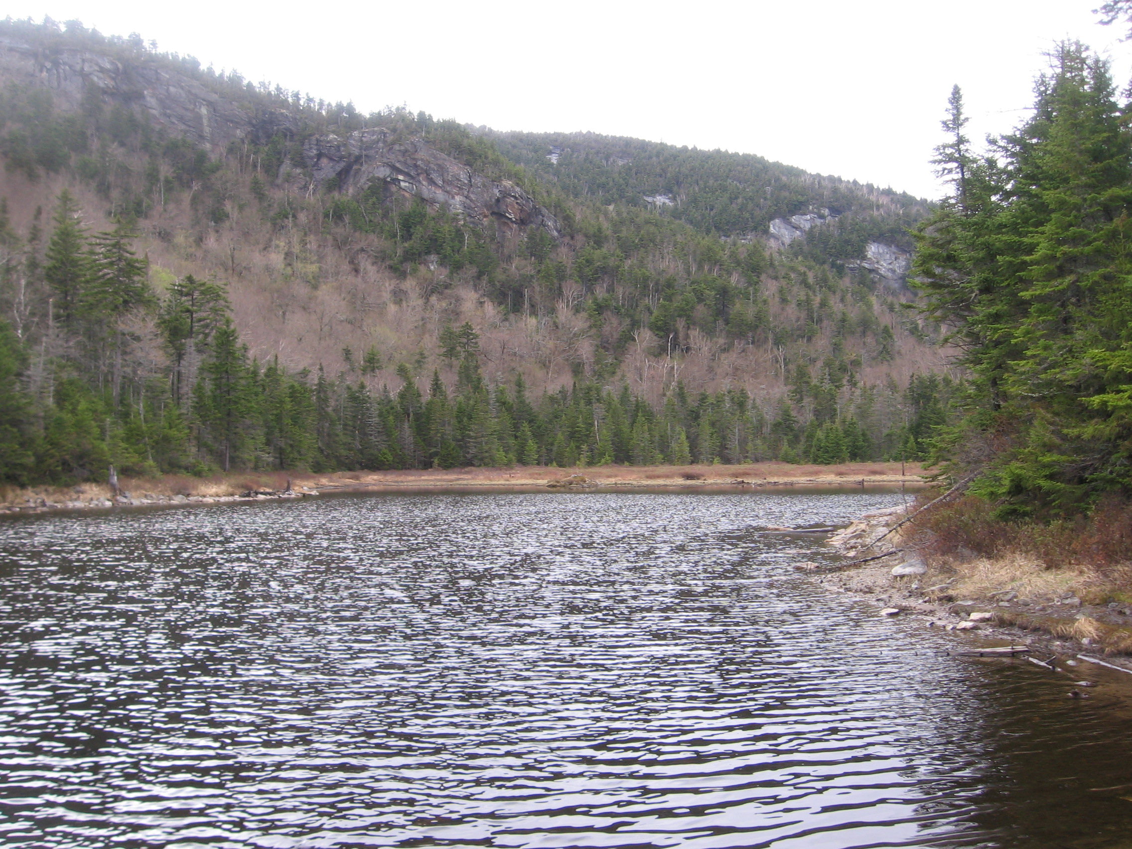
Gentian Pond, from summitpost.org
When I returned from the privy, I seem to recall someone else had arrived and was back in the shelter, but I was listening to a story, and did not find out who. I just packed up and headed out.
I left the magical little mountain top bowl the pond was in, headed down through another col, then climbed over Mt. Success. I saw copious Moose sign in this area, and it was as if the mooses were just in front of me the whole morning. The views from the top were tremendous, and I could see the way I was headed down long before I went there, much like the descent of Moosilauke. (Mt. Success is best known as the site of a 1954 plane crash, and the remains of the airframe that still rests there, though I did not see or try to find the crash site as I passed through.)
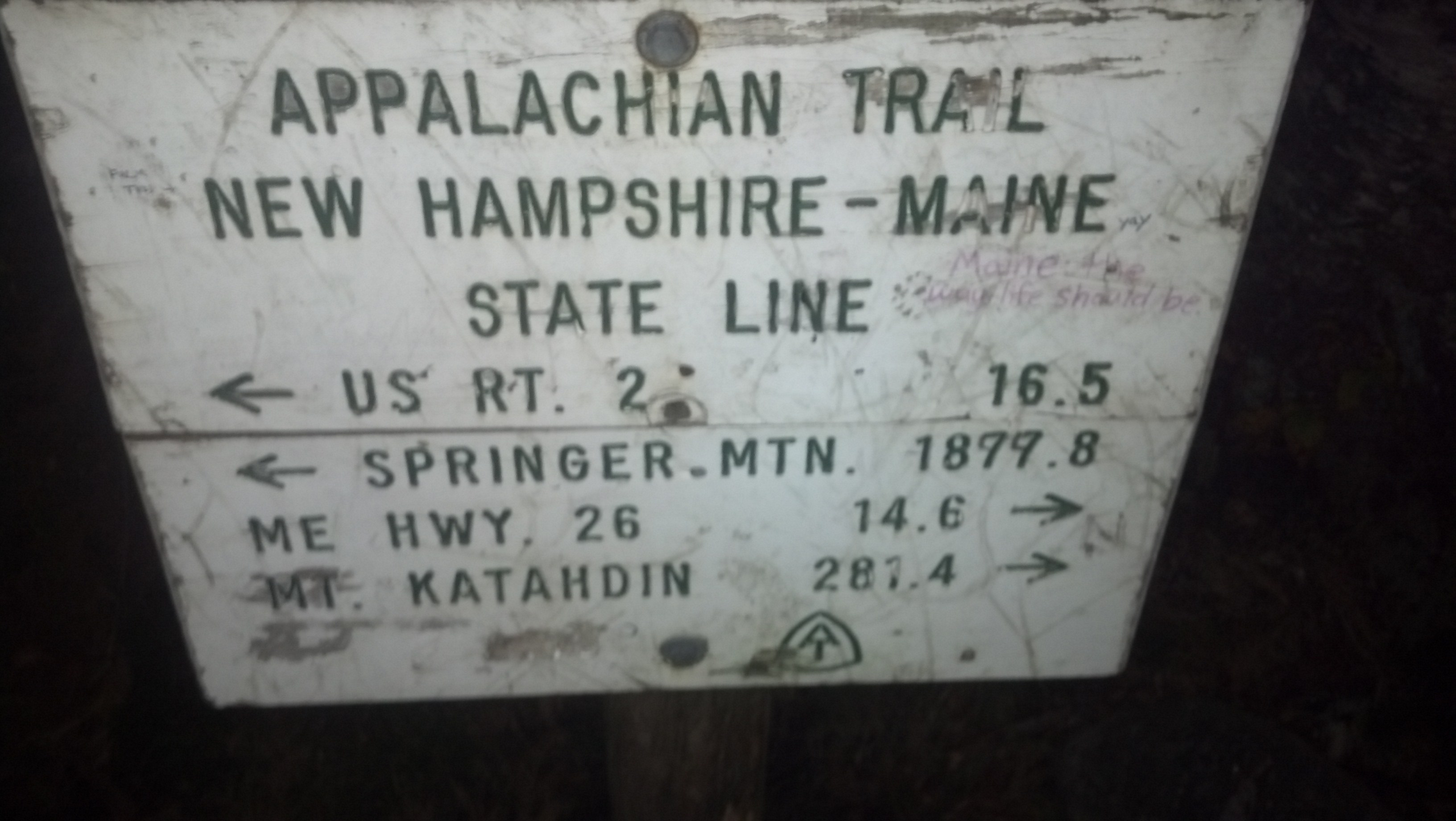
The sun started disappearing on my way down the otherside, but I surely wasn’t going to stop and stealth just because it was getting dark. After all, every mile I didn’t do then, I’d have to make up the next day in addition to going through Mahoosuc Notch. I put on my headlamp and descended into the dark. Sometime far later than I wanted it to be, I stumbled across the NH/Maine border. I took a photo for posterity, then texted it along with a message to my mom about when I planned on arriving in Grafton Notch.
Once I’d sent it, my phone had destroyed my night vision. But I still had a mile or so to go to get to Carlo Col Shelter. By the time I got there I was worn out, with my feet getting sore in the sole the same way they’d done a lot back in Vermont. So many rocks, so many bog bridges. I climbed into the shelter, once again getting the place to myself, undressed immediately, and did my cooking from the comfort of my sleeping bag. Another 10 miles down, just 9 more to go, and I planned to spend one and a half days doing them. Why rush the Notch after all?
The next morning, after the usual Special K bar and protein shake breakfast and morning routine, it was time, right off the bat, to climb Mt. Carlo. It’s a great way to start the day, but there’s nothing too exciting about it, except that I started up in the fog, and got surprisingly close to a pair of female mooses beside the trail. The fog cleared out soon after the mooses.
A short steep descent onto a wide-open ridge brought me to the foot of Goose Eye Mountain, where the trail briefly becomes as steep as it ever will on the trail. I can think of only a handful of places on the AT reminiscent of the climb up to Goose Eye’s western peak: the north side of Dragon’s Tooth in Catawba, VA, the Superfund trail out of Palmerton, PA, the north side of Mt. Moosilauke, and the Webster Cliff Trail out of Crawford Notch. Somehow, this short section seemed steeper than all of them. It features enormous wooden ladders, apparently hewn and built on the spot from local trees, and climbs up rebar ladders. I took one picture of one of these climbs just before I tackled it myself:

Something about the placement of the trail here makes me suspect the trail ran this direction even before the rebar was placed here. I can imagine that white blaze there by itself whispering “Here’s the trail…you’re on your own now, bud.” If it’s not clear what’s going on here, I found some much better pictures over at Fun Size and Bottle Cap’s blog (where I am never mentioned, despite my repeated mentions of them on this blog!). With all my various troubles in New York and Connecticut, I arrived at Goose Eye a month later than they did, though what they saw is almost exactly what I did:
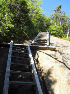
Photo by Fun Size at http://funsizedadventure.wordpress.com/
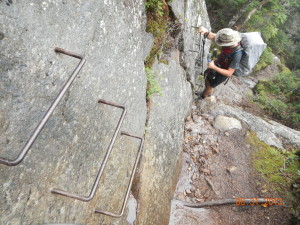
Photo of Bottle Cap climbing Goose Eye W Peak from http://funsizedadventure.wordpress.com/
Once on top of Goose Eye, there are three peaks to traverse, and the views are incredible on a clear day: I could see to the far end of the Presidential Range in one direction and to the far end of the Mahoosucs and well into Maine proper in the other direction, but it’s a very narrow mountain, and I was descending it (in the open) almost as soon as I’d arrived. Of course, traversing and descending the ridge calls for crossing hundreds of bog bridges and avoid countless mud puddles, as with anywhere in this part of the world, but the weather was nice enough that I was looking everywhere except my feet.
Once I’d reached the other end of the ridge, I turned and dropped into the col separating Goose Eye Mountain from Fulling Mill Mountain, where stood an old, long, low shelter, which I thought was unusually placed. It’s called Full Goose Shelter for obvious reasons, and I stopped in for lunch and stayed long enough to move my solar charger three times out of path of the shadows from the pine trees that surrounded the shelter constantly advancing to blot out ever more of the sunlight. While I was there, a whole family showed up. In fact, I knew some of them already.
It was the boy and girl I’d hiked up Webster Cliffs with and stayed at Lakes of the Clouds Hut with, and the dad who’d hiked with them long enough to give us all fresh fruit. I didn’t expect to see them again, but apparently this area was close to home for them, and they’d taken a few days off at home. And now they’d come back, this time bringing his mom along for the hike. They astounded me by explaining that they’d started before Mt. Success that morning, and had planned to finish the day at Grafton Notch. Normally, I wouldn’t bat an eye at someone planning an 18 mile day, but it was already 2 o’clock and we were still south of the hardest section of the A.T. It sounded to me like they didn’t know what they were in for, or that they were planning on hiking past midnight.
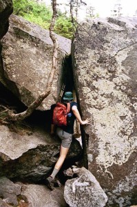
It turns out it was the former, though I’m unsure how it could have been. Mahoosuc Notch is renowned among hikers as “the most difficult or most fun mile of the A.T.” In fact, it says as much right in the A.T. Guide. Sure, perhaps Bill Bryson never writes anything about it, but that’s probably because he just never hiked it.
Actually, “hiking” is probably too strong a word for what one does in the Notch.
I arrived at the start of the Notch a couple of minutes ahead of the ambitious family, who had been hoping to find a water source before the start of the Notch. I had told them there was a spring somewhere before it started because that’s what my map said, but we did not see it. However, there is water flowing under the rocks the entire length of the Notch. When they showed up, I had already collapsed my trekking poles and strapped them to my pack, ready to get physical. I called the way to them as I dived in.
Mahoosuc Notch is actually just that: a notch in the ridge between Fulling Mill Mountain and Mahoosuc Arm, much like Crawford Notch, Pinkham Notch, Carter Notch, Franconia Notch, etc. in their respective ranges. What makes it unique is what the trail does. Rather than head straight on up the when it reaches the bottom, instead it turns and follows the Notch downhill (going north) for a mile, following the water’s course toward the valley. Finally, when hikers can take no more, it turns and goes straight up the side of Mahoosuc Arm, staying on the rock faces the whole way.
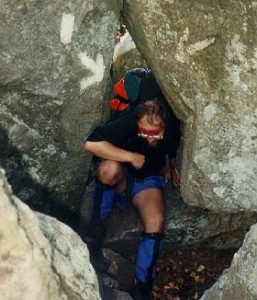
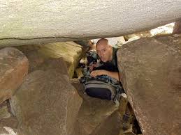
I mentioned that the guide calls the Notch “the most difficult or fun mile of the AT”. I was determined it would be the latter for me. I had dedicated two hours to traversing it, and intended to stop for the day as soon as it was done. It looked to me like a playground for adults, and that’s the approach I took to it. In fact, I made a game of it: my goal was to make the entire traverse without taking off my pack. This was a valid challenge because Mahoosuc Notch is the closest thing one can get to going caving without ever losing the daylight: there are squeezes and crawls and little keyhole tunnels under enormous building-sized boulders. The place is absolutely covered with paint, with arrows pointing up and down, blazes on rocks right up the middle or under trees close to the walls. But it’s not like you have to stick to the blazed route here, as the only way out is down.
So, the way I played was to stay high. As high as possible. I’d leap from the tops of boulders, shimmy along ledges while hanging from the trunks of trees, pull myself over the tops of enormous boulders, and whenever I came to one of those crawls which was too tight to pass with my pack on, I found a way over and around. Imagine going bouldering with 40 pounds on your back. That was my approach to the Notch. And with the time saved by keeping my pack on, I finished it in well under two hours. Of course, I was having so much fun, I totally forgot to take any pictures. Here’s some I found on the internet featuring people I don’t know!
From summitpost.org
From n2backpacking.com
From northeasthikes.com
At the north end of the Notch, there’s a small clearing with a primitive campsite and the stream that flows under the Notch running below it. I turned aside here. I had collected and gravity filtered water and set up my tent and was started cooking supper by the time the family came along. I forget what held them up so long, but the sun was fading fast. I tried to entice them to set up camp with me, but they were committed to getting back to work on time, or whatever else it was that had gotten such an ambitious plan in their minds, and pressed right on by and up the Arm, without even stopping to make supper. “We’ve been eating Clif bars right along,” or some such excuse.
But I loved my little campsite, and every moment of the time I spent playing in the Notch. I wouldn’t ruin it by adding a climb straight up the side of a mountain on tired legs to the end of my day. I finished supper, went to bed at dark, and woke up at first light the next morning.
Then I thought, “It’s cold and cloudy and foggy out. I’m going back to sleep.” and rolled over and napped for a few minutes more. But it warmed up quickly, and for a brief moment the clouds blew away, and it was a beautiful day. I figured there wasn’t much room in the narrow Notch for digging cat holes, and decided to save breakfast proper and the rest of my morning routine until I’d reached Speck Pond Shelter at the top of the Arm. I ate a snack, packed up quick, loaded up, and started climbing.
I heard several people describe the climb up Mahoosuc Arm as miserable, or harder even than the Notch, but I was climbing on fresh morning legs and I hardly even noticed it. I was at the top before I knew it. (The most vehement protestor of the Arm’s difficulty told me he’d done it at the end of a 20 mile day. I think I can imagine how much worse it would be from that perspective. To any A.T. Hikers without a deathwish, I can’t recommend enough camping between the Notch and the Arm.)
The top of the Arm comes suddenly and immediately presents you with a view of Speck Pond a few hundred feet below. To someone who’s lived his entire life in Georgia, the sheer frequency with which one finds natural ponds at the tops of mountains is astounding. There’s nothing like it in the Southeast. I descended to the level of the pond, keeping it in view the entire time, then turned alongside it to reach its far corner and the Speck Pond Shelter, which would normally be the last paid campsite in AMC territory, but the caretaker’s tent was abandoned for the season, just like every other shelter I’d passed in the Mahoosucs.
In addition to doing my morning milkshake at the shelter, I did some log-reading, and reported my visit by drawing an “accurate” illustration of a ship sinking in the middle of Speck Pond. Thus is my gift to posterity.
As I recall, I had set my arrival time at Grafton Notch for about 4pm. Since I had but four more miles to go, mostly downhill, and 5 hours to do it in, I decided I had enough time check in at the summit of the highest peak of the Mahoosucs, Old Speck, to see what there was to see from the fire tower there. It was only about 30 minutes straight up from the shelter and I was there.
But I wasn’t alone. I climbed the fire tower to see, among the banks of clouds periodically washing over the peak, a girl taking a seat on a rock with a book. I climbed down to see what she was reading. It turned out to be century-old treatise on the senses, the earliest work to take a more neurological approach to perception, from back when psychology was indistinguishable from philosophy. I don’t remember the name of the book or the author, but I can remember my mild surprise to see a girl reading such a book on a mountain top.
She was a former attempted thru-hiker, trail name Fish, 2011. Quit due to medical reasons. She had decided to take a day off from school because the weather seemed nice, and had ended up climbing Old Speck because she couldn’t find the Mahoosuc Notch Trailhead. She’d randomly found another trailhead and taken it, and wound up on top of the mountain, hoping to see a view. But when it had been foggy all morning, she’d given up and set up a tent right there at the peak. And now she’d come out to read and see if the clouds were trying to part.
As you might guess, we chatted for quite a long time. Long enough to remember this much conversation. I was probably on top of Old Speck for most of 2 hours. I was threatening to miss my meeting time at Grafton Notch, four miles away. I left in a hurry.
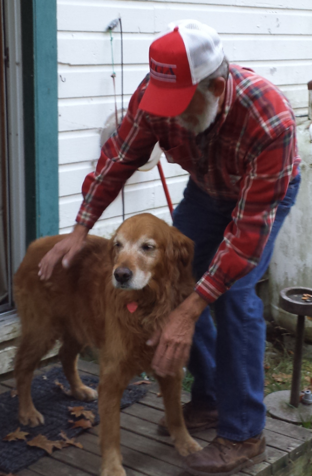
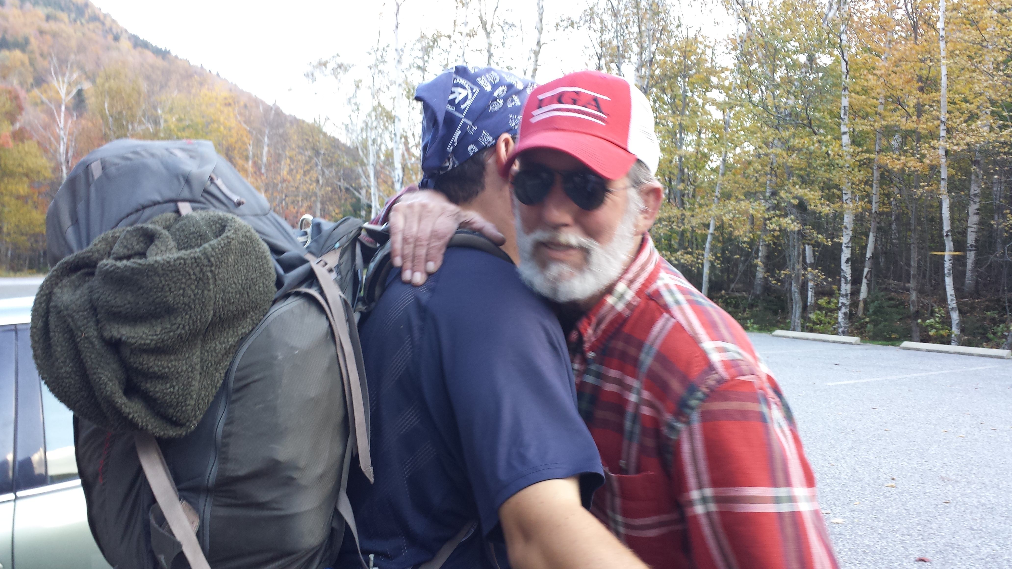
Down and down and down I went, until I randomly stumbled on my mom, who’d hiked five minutes up the trail to meet me, and she had Copper with her. Copper, of course, had found the trail and led her to me. I lead them both back to the parking lot, where my dad was waiting. So how did Copper get way over here, when I’d left him back at Gorham? I’ll let my mom explain what my parents had been up to since they left Martha’s Vineyard to come meet me:
Since Mike and I had decided to take a month long trip to experience New England in the fall, we realized that it would be very easy to pick up David and Copper at Katahdin since our trip was scheduled to end about 2 hours away from there. This would save David from having to bear the cost of flying himself and Copper back to Georgia. The decision turned out to be a blessing for David since Copper was exhausted and had to get off the trail after his climb up Mt. Adams in the White Mountains of New Hampshire. We stopped by Chet’s Place to pick up some items that David had left there and had the opportunity to meet Chet. He had been gracious enough to keep Copper for a few days and it was nice to meet him. We thanked him, gave him a thank you offering, and then we headed to Gorham to pick up Copper. He had been staying with Marium, a trail angel, who saw how tired Copper was and offered to keep him for a few days. We had chosen to stay at the Town and Country Inn in Gorham and it turned out that Marium was a waitress at the restaurant there. She gave us directions to her house and we headed out to get him. Mike drove up in the yard, went in the fence, and Copper came out wagging his tail with a vengeance and looking very healthy and happy to see us. There was lots of hugging and petting and joy from man and animal.

We brought Copper back to the motel, gave him a bath, and spoiled him just a little before we went to dinner. After dinner, (where Marium was our waitress), we invited her back to our room for a drink to thank her for the kindness she had shown both David and Copper. Mike gave her a thank you offering and had to convince her to accept it. She is a true trail angel.
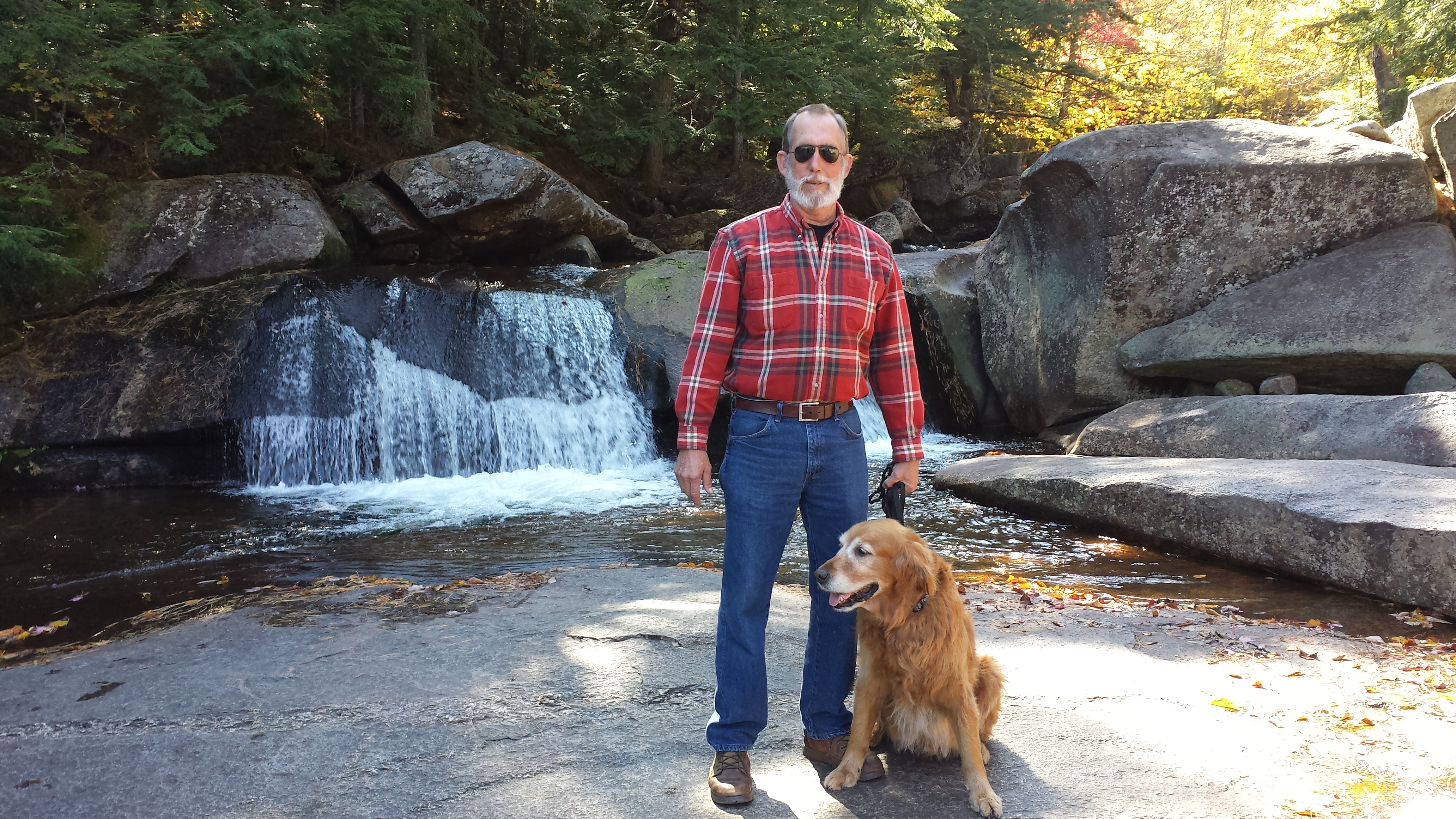
After a good night’s sleep we left Gorham for our drive to Grafton Notch State Park to pick up David. We explored the area, walked Copper to the waterfalls and then headed to the meet up point.
We got there about 4:00pm and Copper bounded out of the car and ran straight toward the trailhead for the Appalachian trail. He nor we had ever been there and it was on the opposite end and opposite side of where we had parked. We were amazed at how immediate he caught the scent! He lay down at the trailhead and waited.
It was if he knew that David was coming to get him. David emerged from the woods about 4:30pm and Copper smelled him before he got there. Mike gave David the first lengthy embrace since he had not seen him in 7 months and I was quick to follow. It was a sweet reunion.
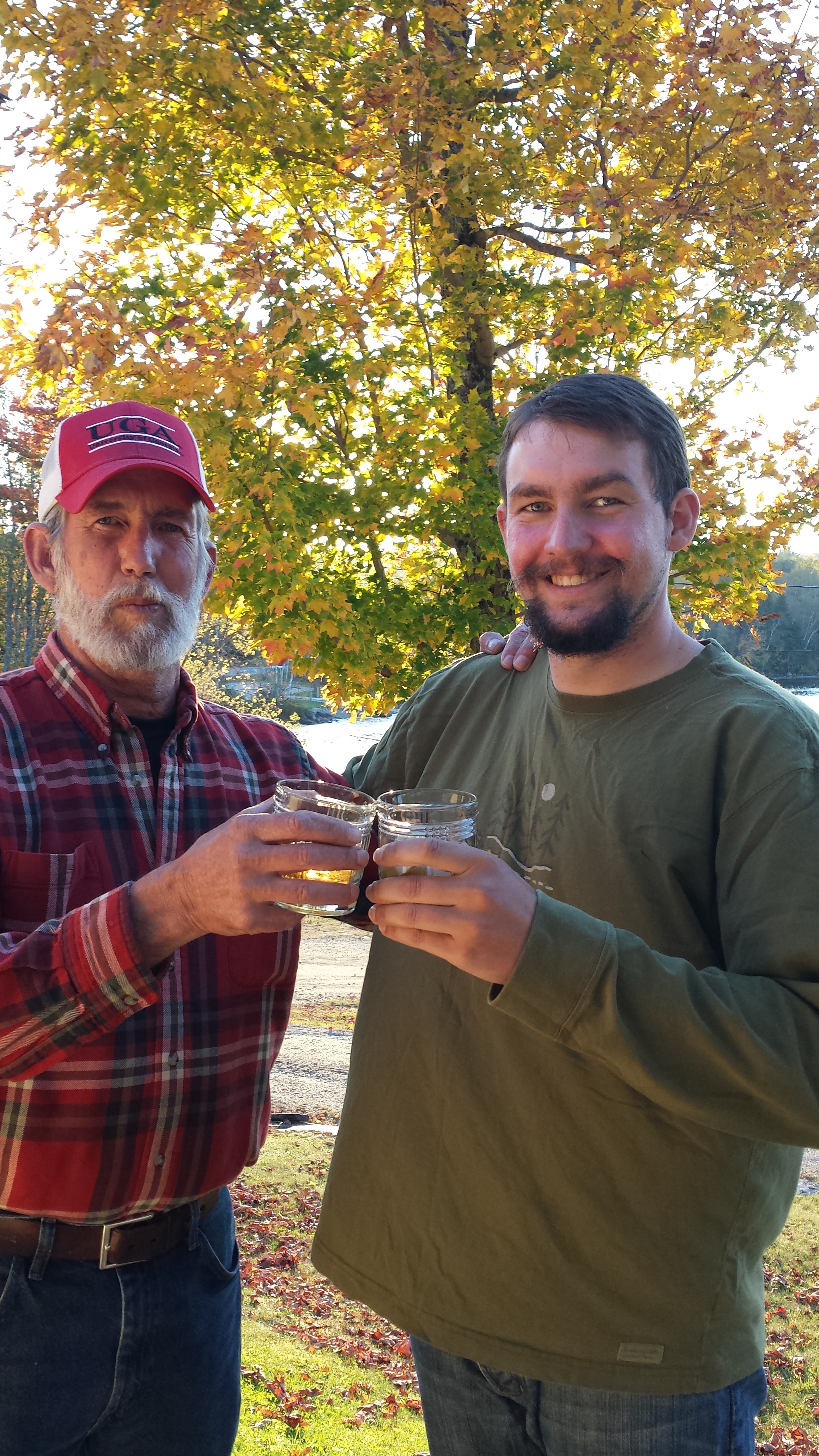
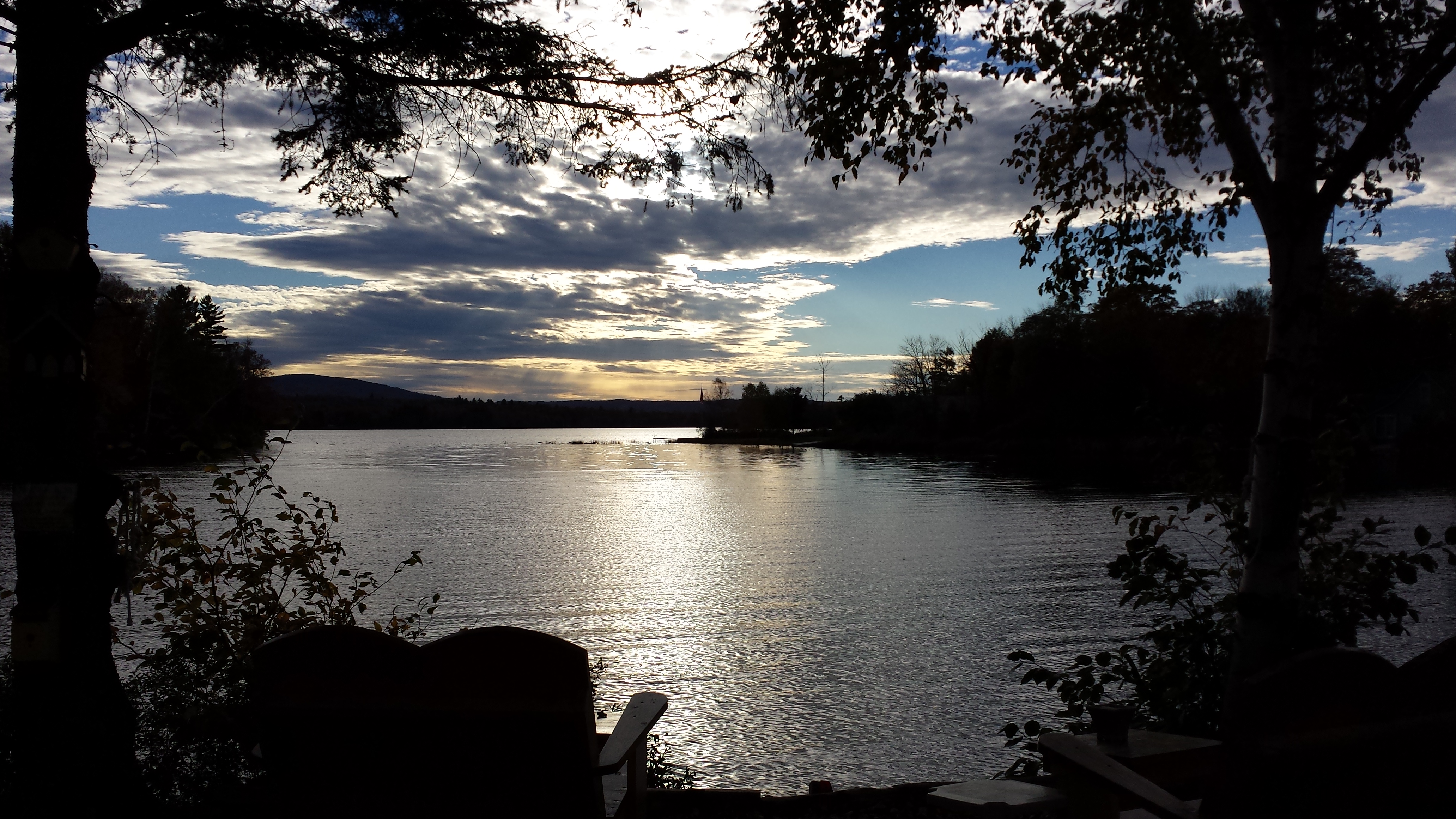
Then, we got in the car to go drive to look for lodgings. We had to drive with the windows down because of how bad I smelled, which meant I froze to death from the chill breeze on my sweat-soaked clothing. We stumbled upon “Paradise Point Cottages” on the shores of scenic Lake Umbagog. They had one cabin available and we checked in. After throwing our stuff inside the cute little cabin, Mama went off to take pictures while Daddy had a bourbon toast on the front porch as the sun set.
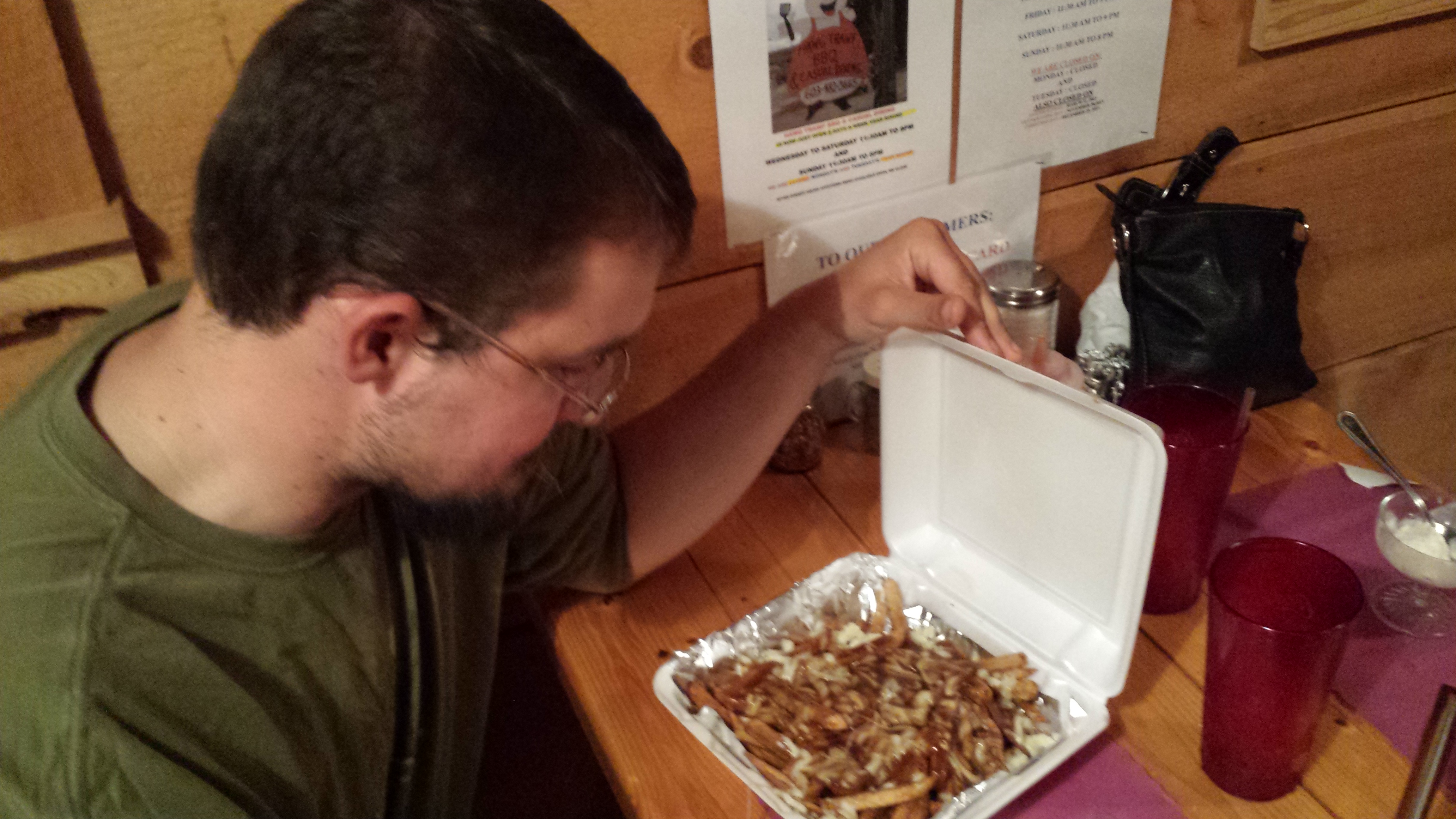
Then we headed off to dinner at “The Hawg Trawf”. David amazed us by eating an entire rack of ribs, all of the side dishes, and a huge order of french fries covered in cheese and gravy! The food was excellent. The restaurant raises money to send children with special needs to summer camp and does so by having patrons play a game of throwing dollar bills towards the ceiling with a thumb tack attached.
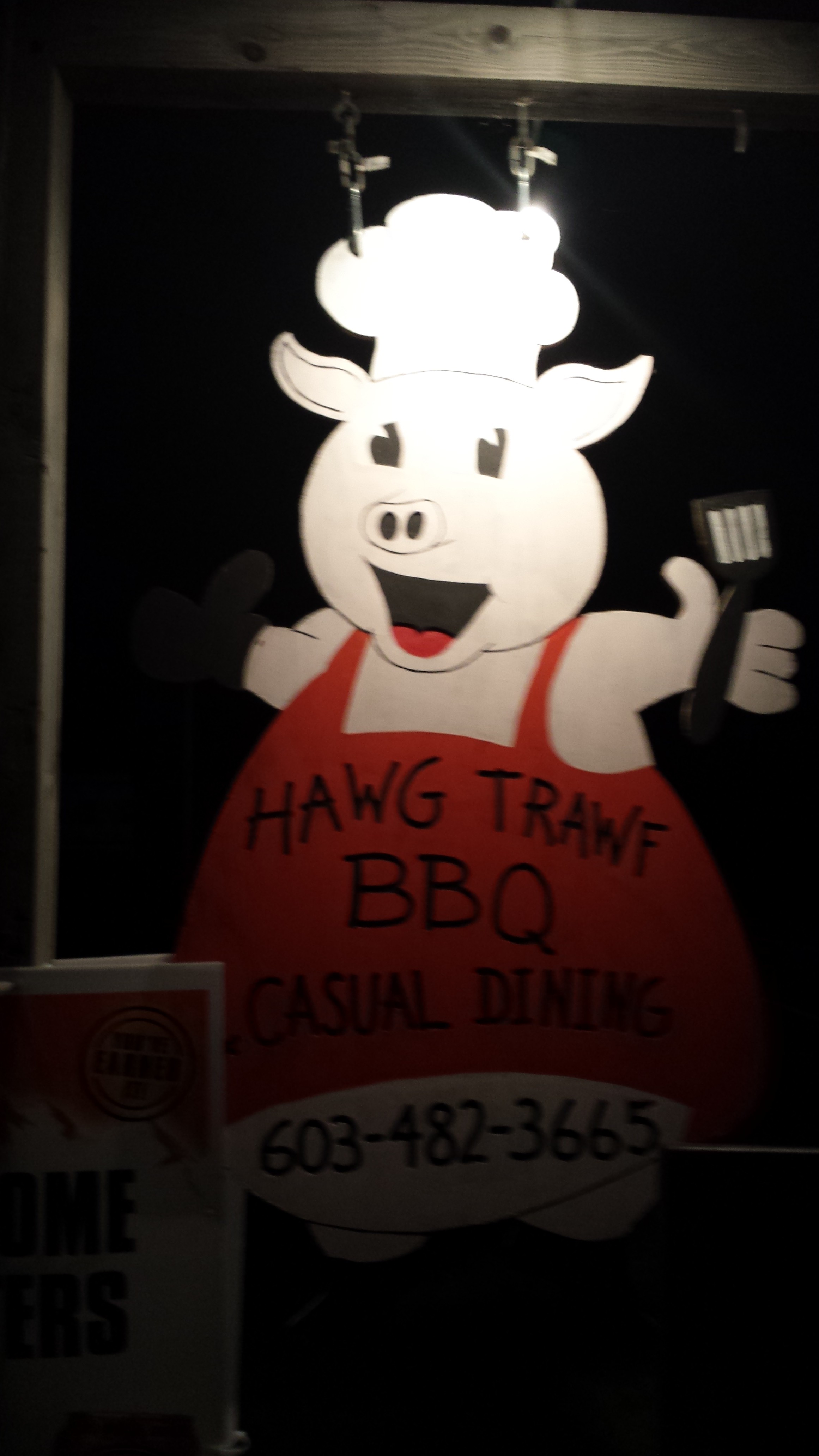


(The secret is to put the tack through the middle of the bill, put a nickel behind it, and fold the bill up behind the coin to hold it in place, then launch the whole rig at the ceiling, tack first, like a dart. The weight of the coin shoves the tack into the ceiling, and eventually moisture causes the bill to unfold, dropping the coin on the floor to be picked up by the waitstaff the next morning, or on the head of a patron.)
When we returned to the cabin after supper, we went straight to bed, and got up early for a three hour drive to the middle of nowhere: Caratunk, ME. The route followed what passes for major arteries in central Maine, mostly staying on the banks of the Kennebec and Androscoggin Rivers, passing through booming towns with names like Mexico or Peru, or places that consist of a Pizza Hut and Mobil station, but even those looked like metropolises next to Caratunk, whose only claim to fame is that its where the A.T. crosses the Kennebec. There is literally nothing there except houses. We drove down the two streets that aren’t the highway in circles three times looking for a bed and breakfast that no longer existed before realizing that the Sterling Inn is the only place in the village where one can spend the night.
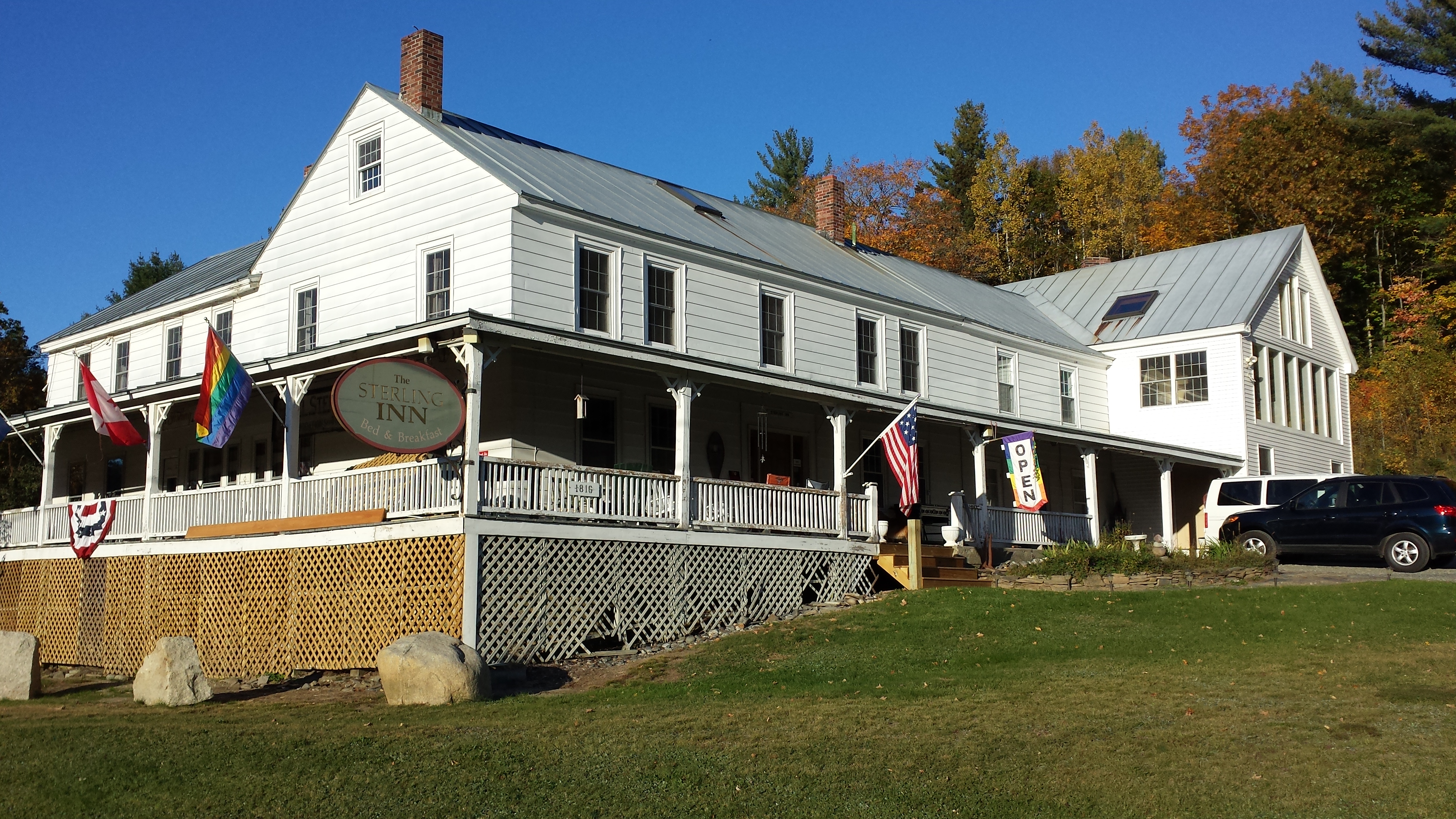

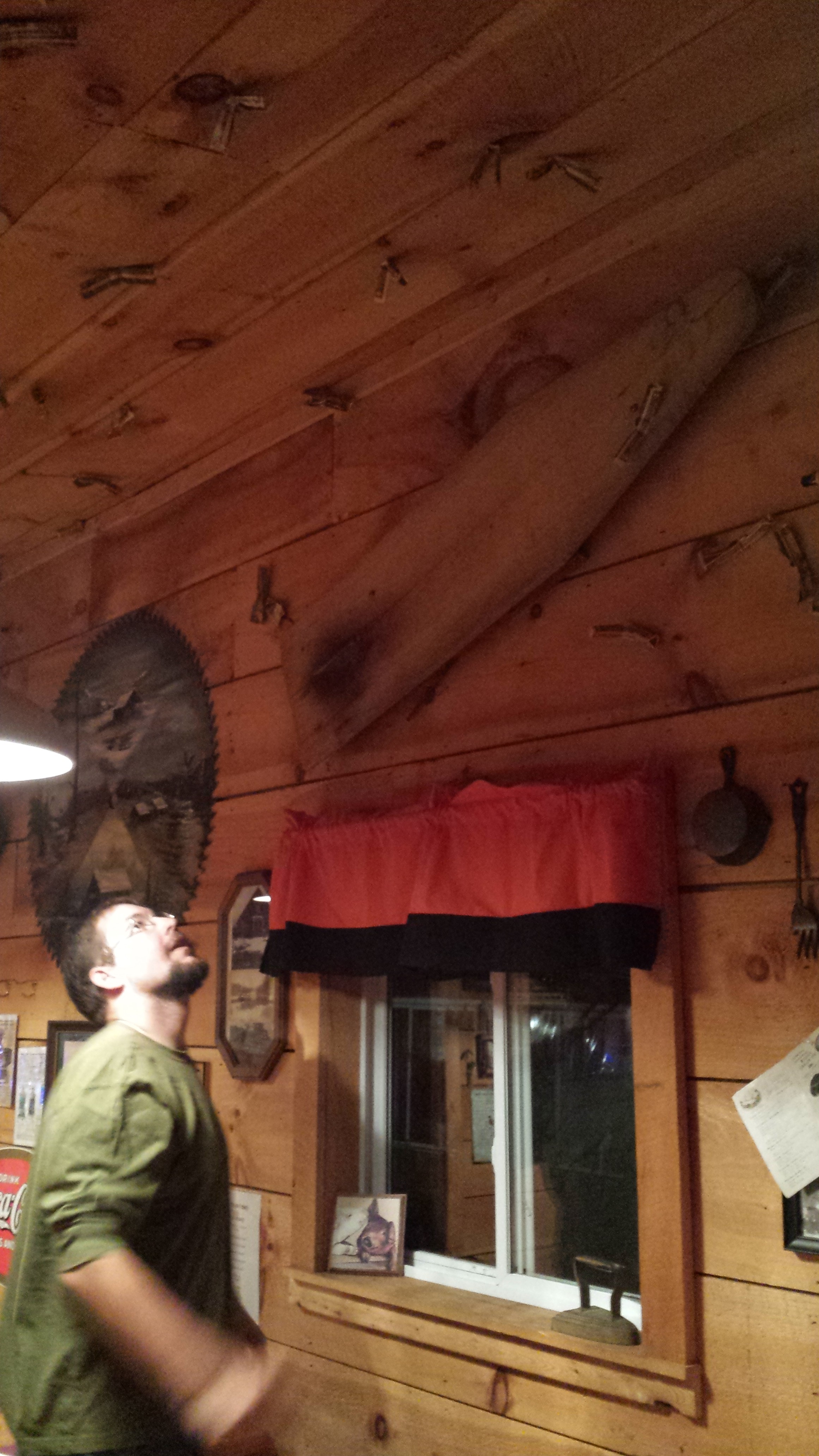
The inn is very old (built in 1810), and all the heating, including the water, comes from burning firewood in a wood furnace. The place is riddled with tiny rooms from top to bottom, but the bathrooms have to be shared. The back wall of the place is leaning outward, as if the whole place could come tumbling down under the weight of the next winter snow. BUT it had free wifi, a sizeable book library, games, an extensive trail and road maps of the area, a shop chock full of hiker supplies, and the inn keeper, an engineer in another life, was very helpful.
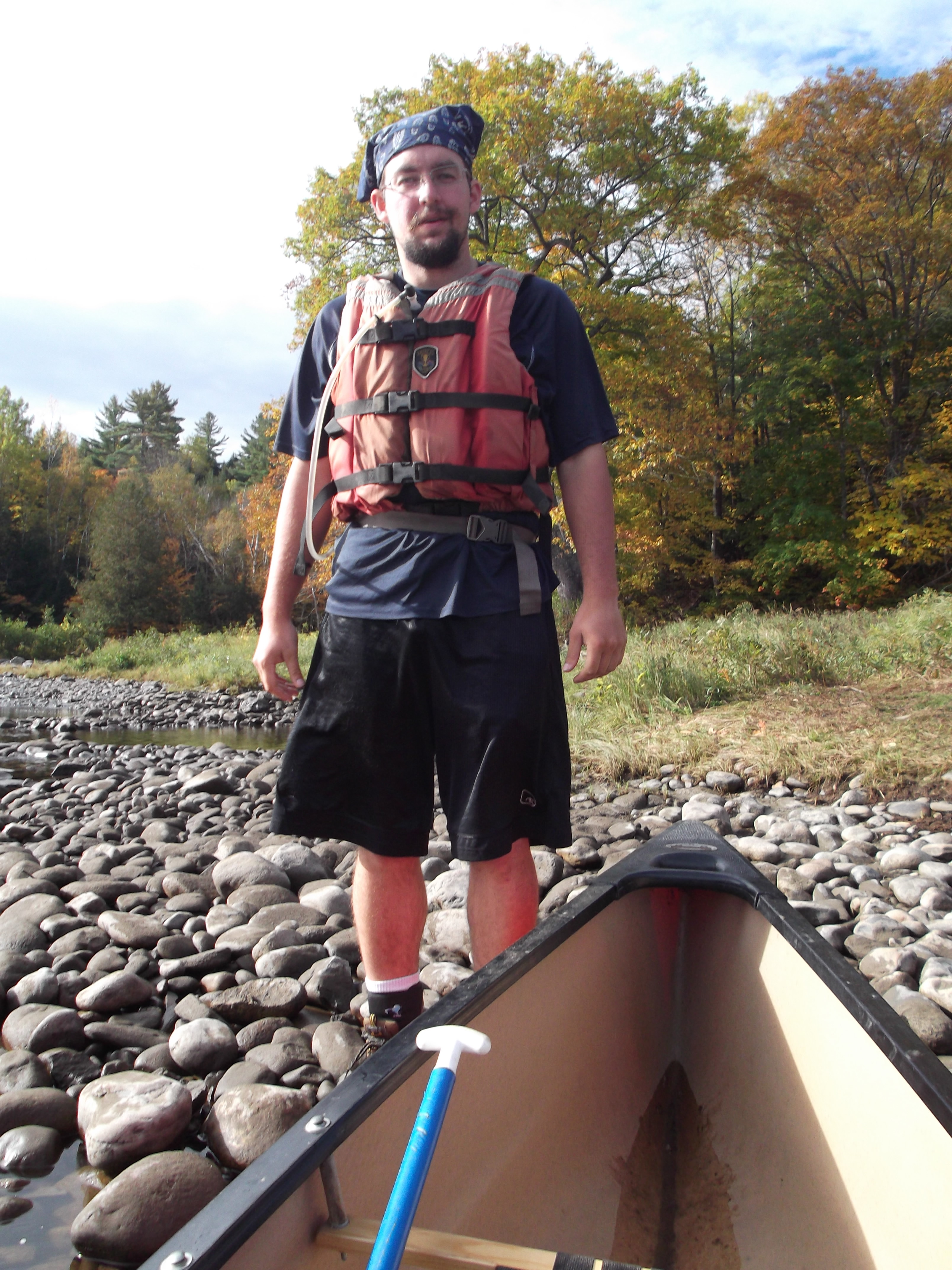
Since it was barely midday, I figured there was time to get some hiking in before supper. It was either that or blog for a few hours, but I guess I kind of knew even then that it would take several months to get this blog written once I returned. (I think I’d written up to Pennsylvania or New York at that point, so I was 3 months behind. Now that I can spend almost an hour a day on this thing, I’m a mere 7 and a half months behind!) So, we got some trail info from the innkeeper, filled up a bottle, then got in the car to head up to the Boise-Cascade logging road trailhead near Pleasant Pond, so I could slackpack the five miles back to Caratunk.

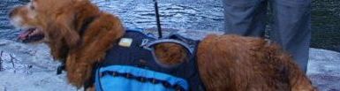
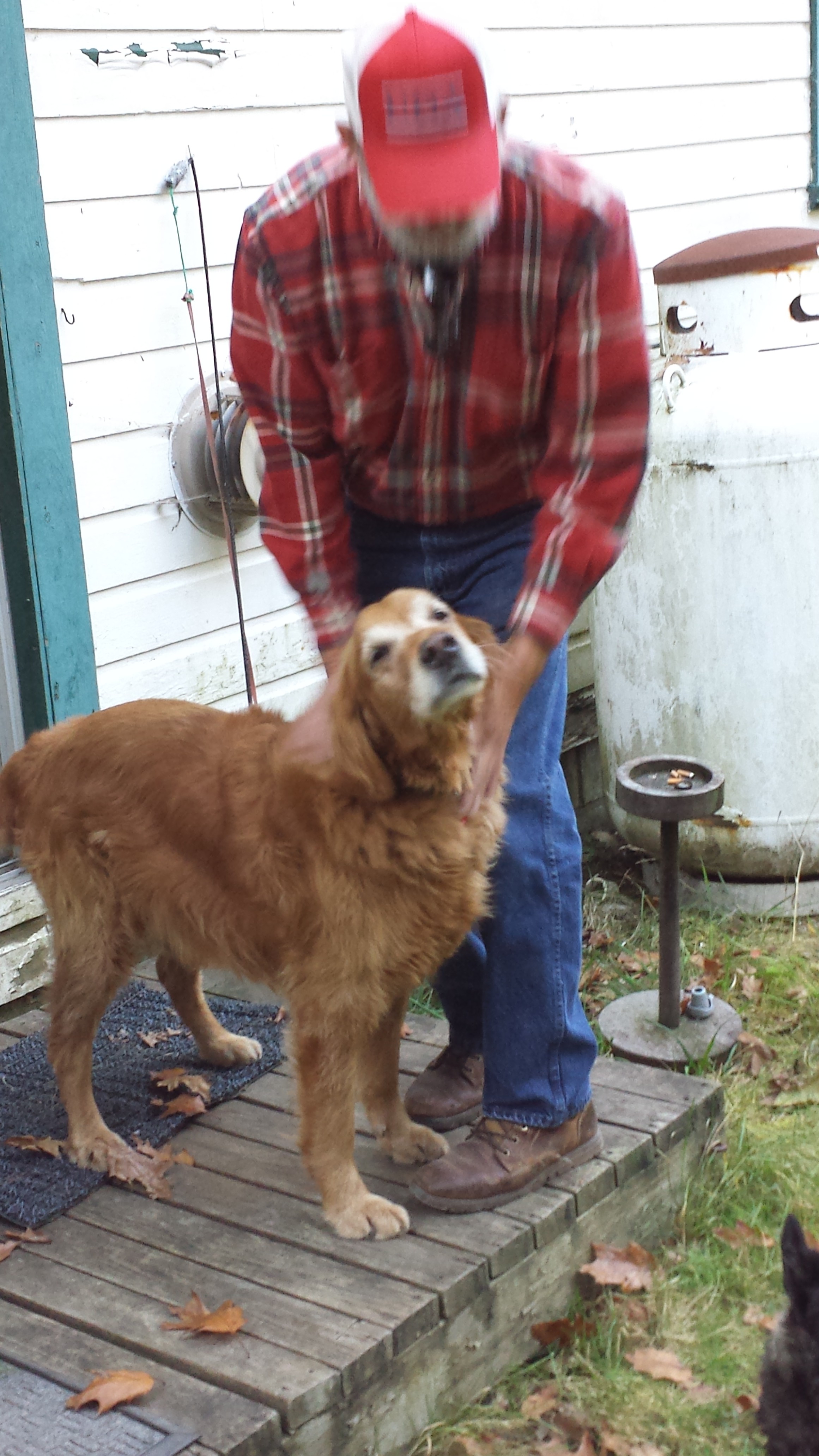
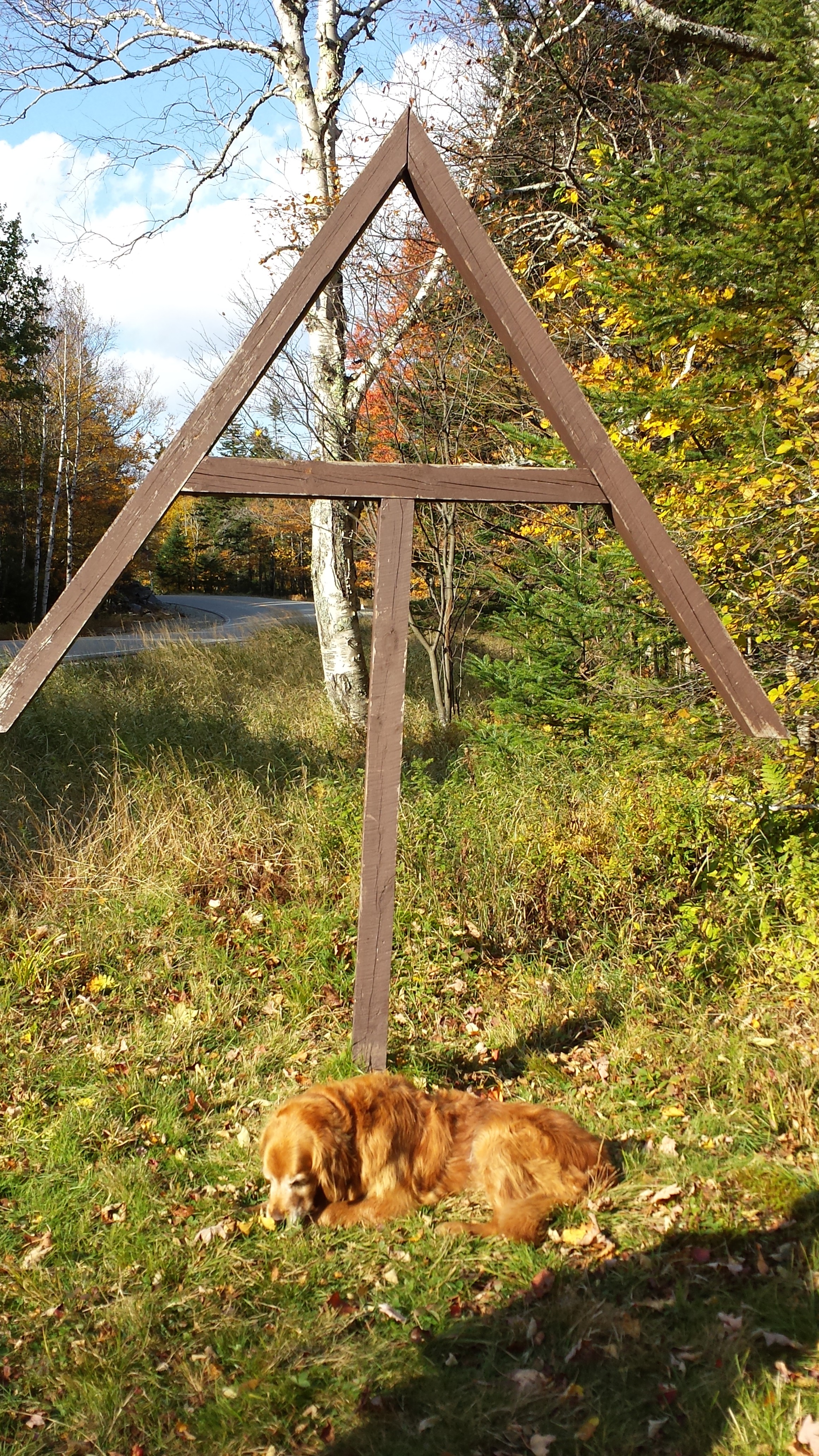
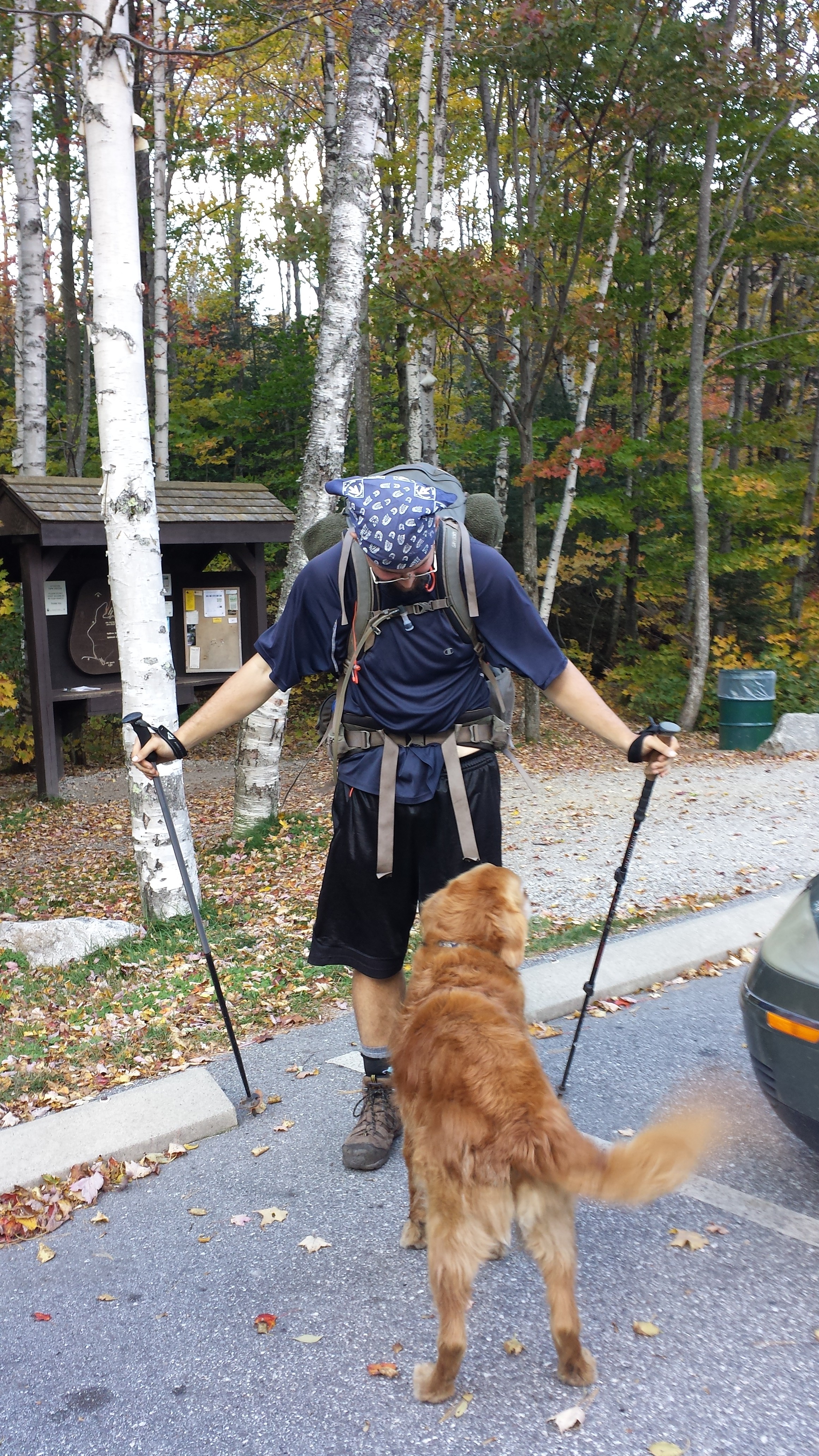
Copper is being led back to the car. He would spend this afternoon hanging out at the inn while I walked. I guess having just picked him up, my dad had a lot of catching up left to do.
Except for one sudden, short, steep hill, the way was all downhill, yet so slightly as to be practically flat. I met only a few hikers on the way, all heading north of course, so we barely stopped to talk at all. The most interesting thing I remember was an enormous tree lying beside the trail, perhaps 6 feet in diameter, which I jumped on top of to walk down.
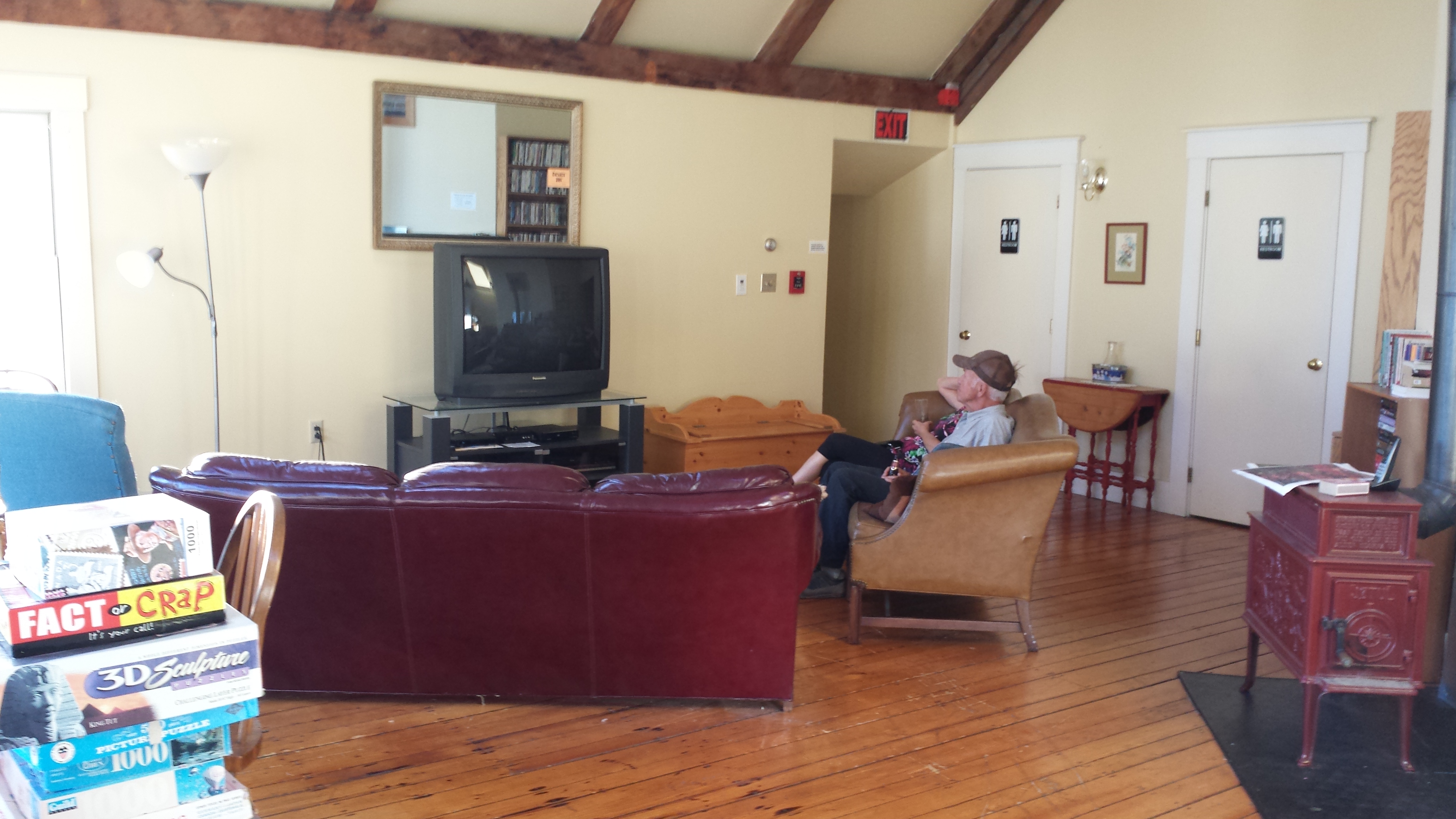
I had predicted 2.5 hours of walking, but what with the breezy trail and lack of a pack, I was done in well less than two. Since cell service was so poor in Caratunk, and my ride wasn’t scheduled to come for another hour, I stood a few minutes on the side of the road until some duck hunters pulled over to give me a lift back to the Inn. I spent the next couple of hours showering and then sitting in the Inn’s sitting room, relaxing and reading Chance Fortune and the Outlaws, but I never got to finish it. Soon enough, it was time for supper.
We drove up the Kennebec to an adventure resort called Northern Woods for supper. They had a very nice restaurant in the lodge, which featured, among other things, their own craft brews. It was a hiker vacation in a building, but it was pricey.
Back at the Inn, I logged on to the wifi, spent some time blogging, and set up my phone to upload to youtube all the videos I’d taken, then went to bed at an hour that was, for me at that time, quite late. The next morning I came back down to check it, and it had not finished all of them. I couldn’t wait, but I needed some more space, so I deleted the ones that had finished. And then I accidently deleted the video, as I previously mentioned, of Mucca Pazza performing “Memorylessness”, which I would spend the next several days trying to recover in my spare time to no effect. I know you, dear reader, are still crying about missing out on that.
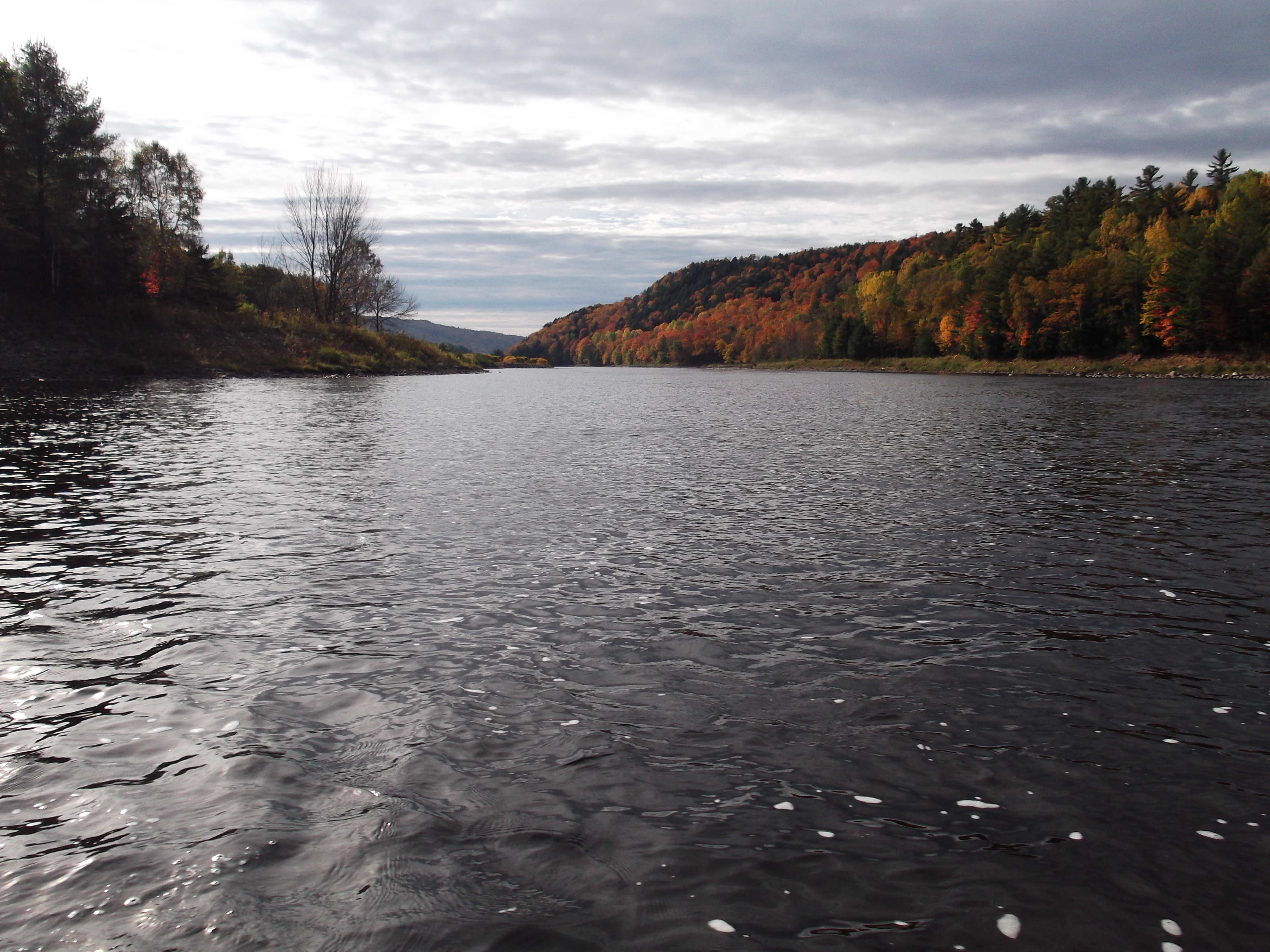
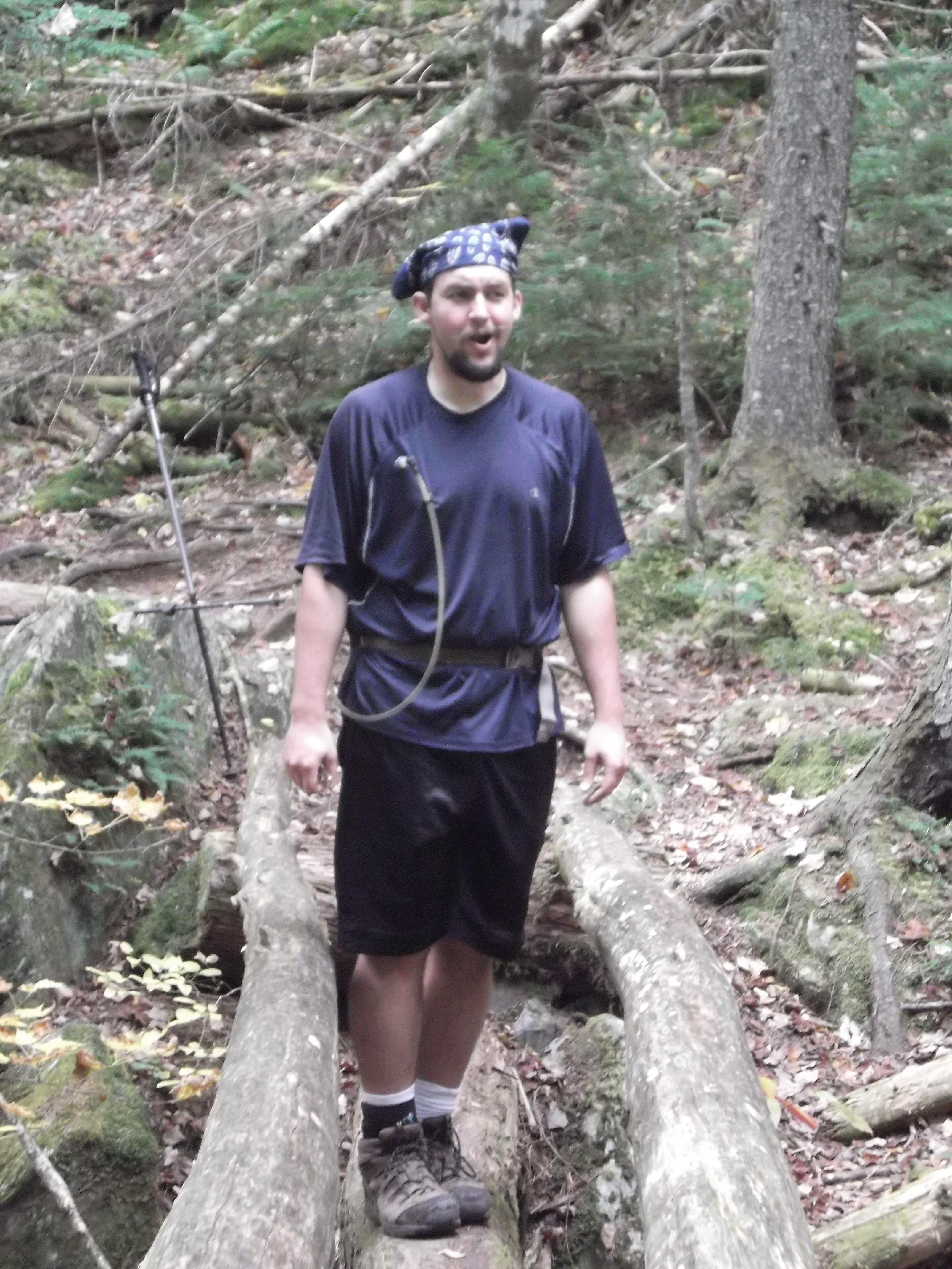
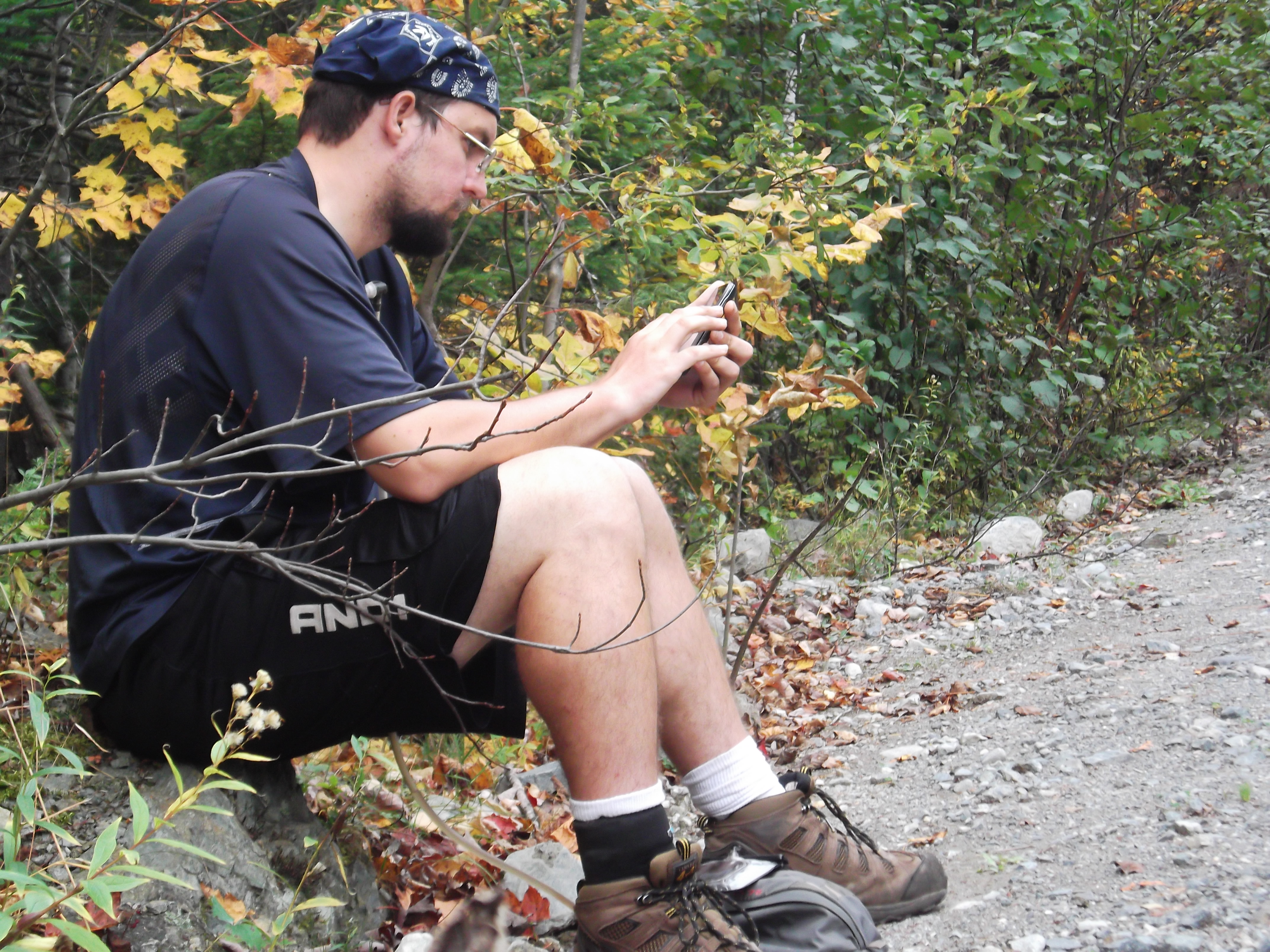
It was very early yet, as Mama and I had a plan for the day. I had to do the Kennebec River crossing now, as it ceased to be ATC-funded on October 9th, and was only available by special request and a handsome fee thereafter. The nearest road on the far side of the river was about 6 miles in, and the profile between the river and the road was pancake-like. By this, I judged that it would be a reasonable section for Mama to join me on, so I invited her along. I was wrong about it being an easy section, but it was fortunate that I asked her along, as I surely would not have gotten quite so many pictures otherwise. By Maine’s standards, it was easy, so I don’t have a lot to say about the experience. Here is what I remember:
As soon as we got our snacks and water together, Daddy gave us a lift up to the trail, where it was only a two minute jaunt down to the bank of the Kennebec.

We spotted the canoe ferry on the other side loading up some early northbound passengers, and stood and waited.
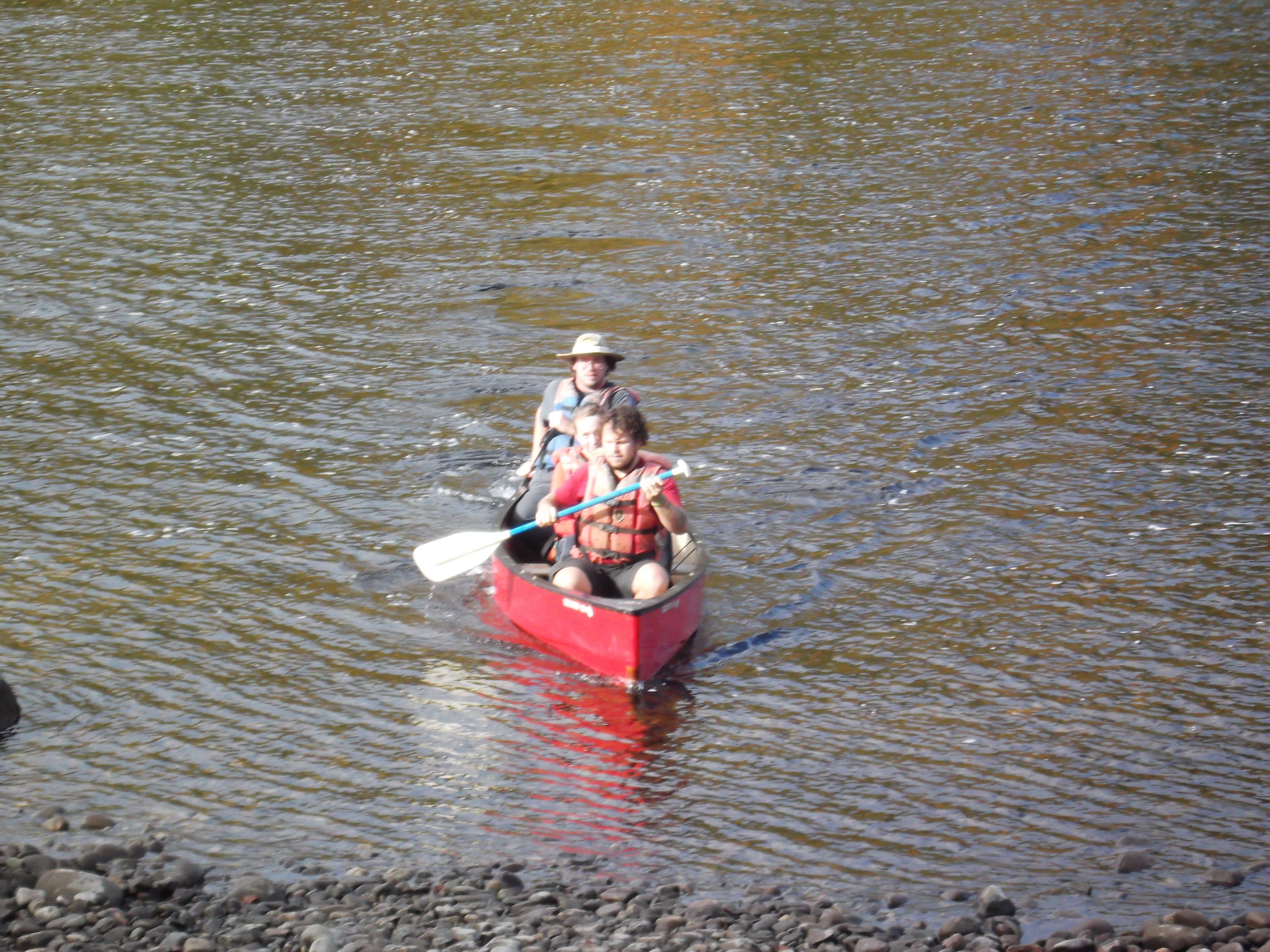
It didn’t take long for Dave the ferryman to get across to us once he had his passengers on board safe with life jackets on, but once they arrived on our side, there was plenty of paperwork for all of us, including waivers and a guestbook to sign. Of course, we figured risking our lives in a professionally-paddled canoe was surely far less risky than fording the kennebec, which is renowned for its swift currents and sudden releases of water from dams upstream. Eventually, we had our own life jackets on, and were in the blaze-bottomed canoe being paddled across the Kennebec by Dave of Fletcher Mountain Outfitters. We talked about the river conditions that make the ferry necessary, his lodge and guide service on Fletcher Mountain, and took a number of pictures.
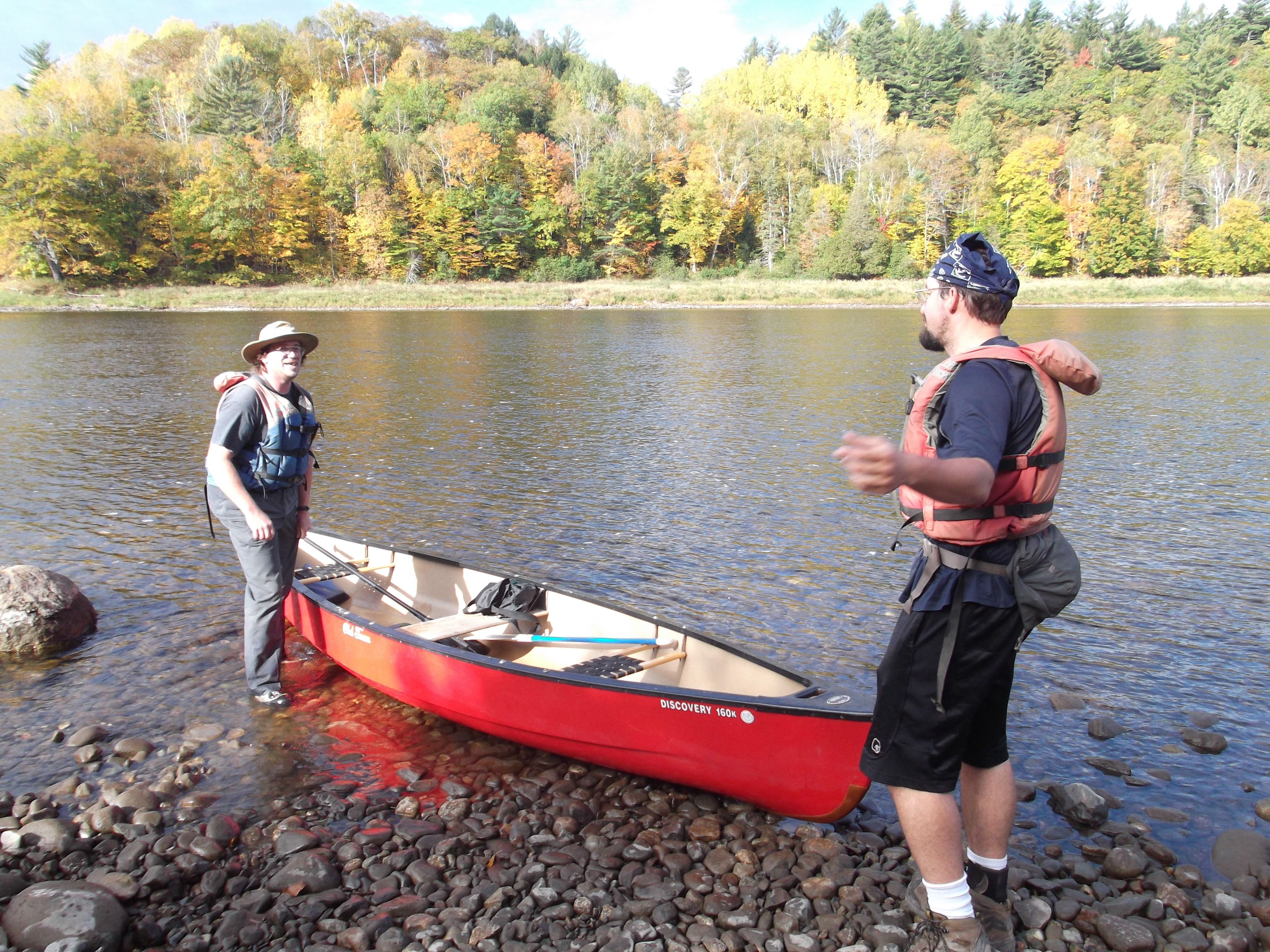
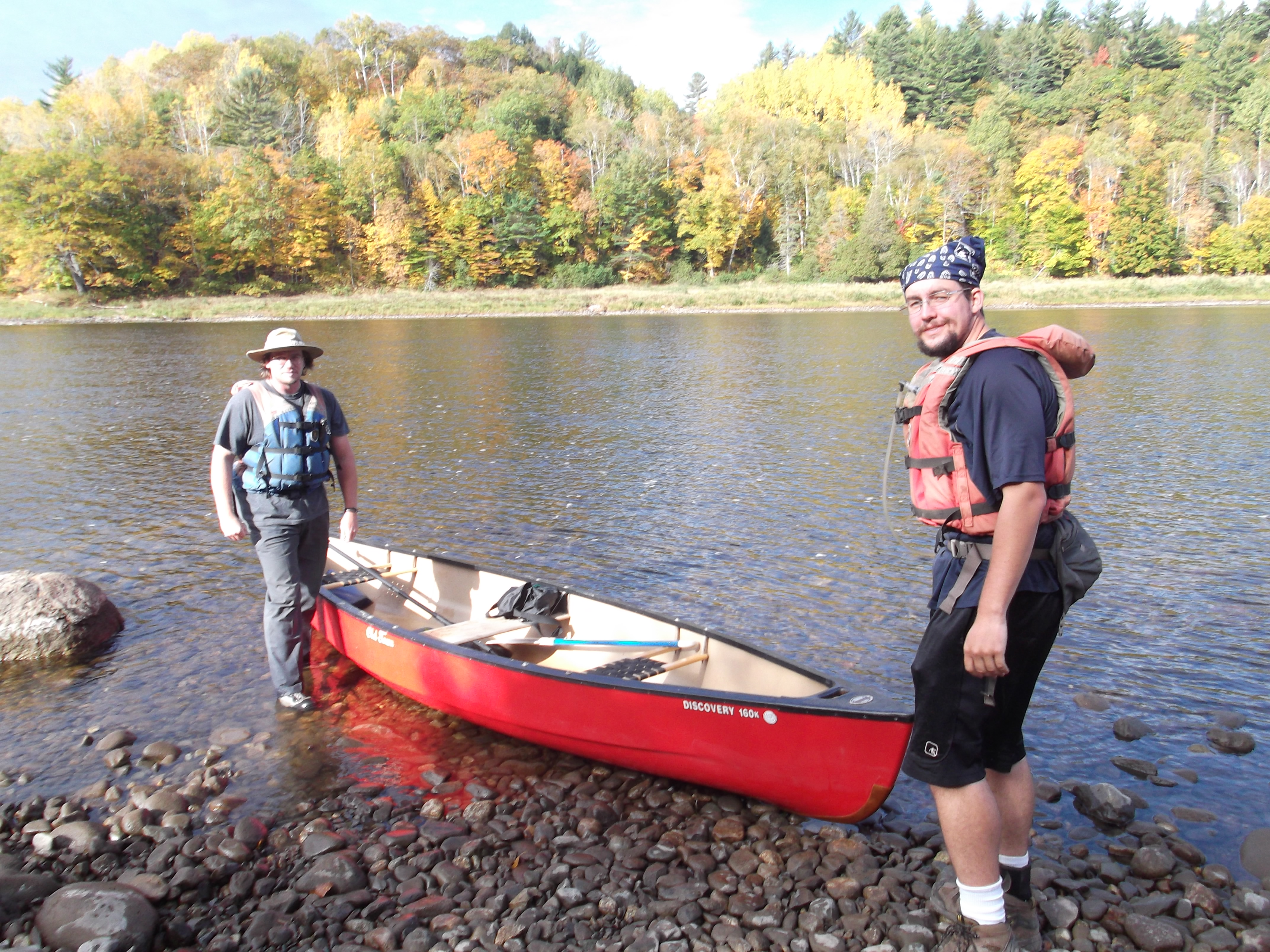
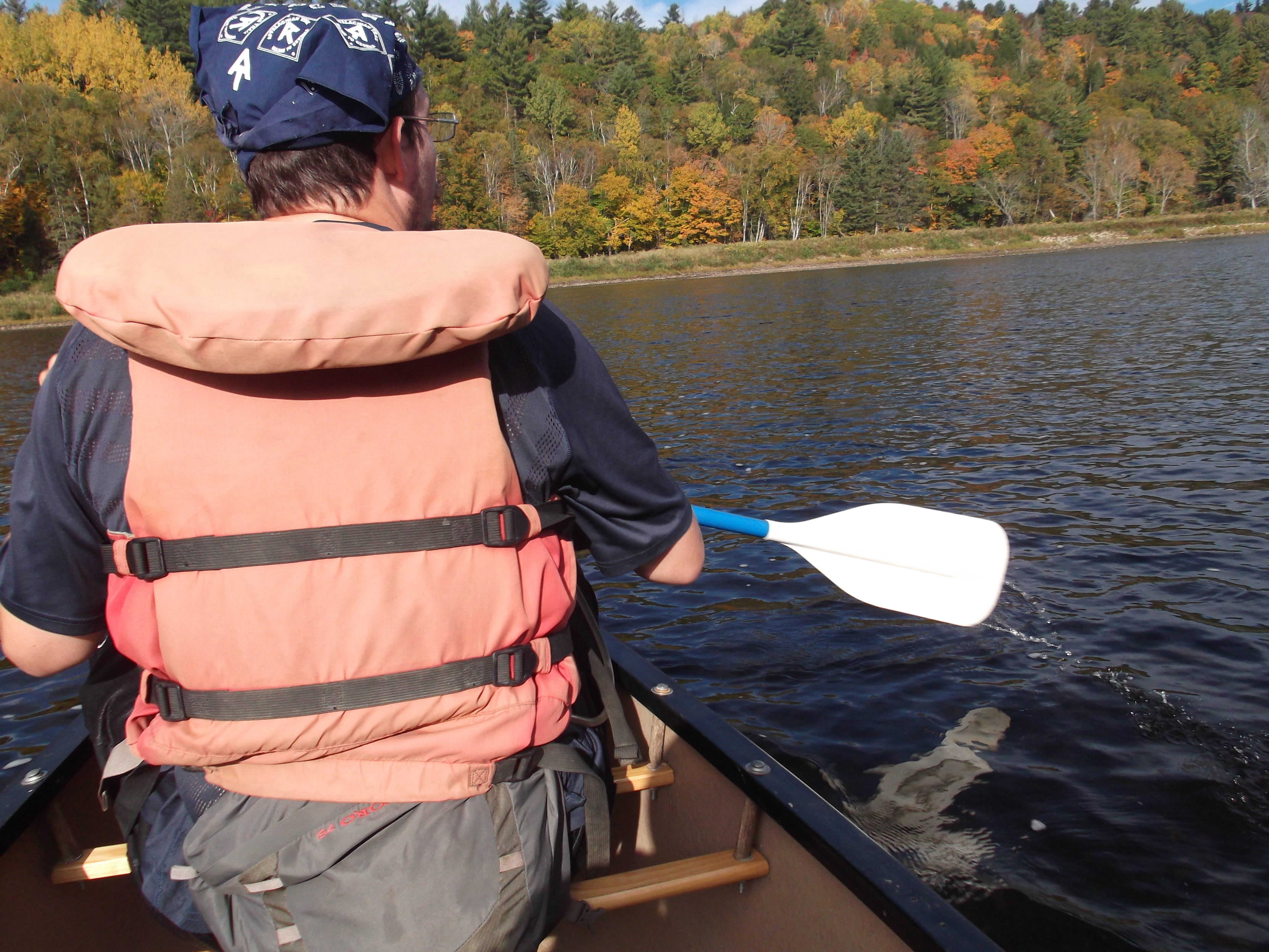
On the other side, he jumped into the water and pulled us up into the shallower pebbles so we didn’t have to get our feet wet,. We hopped out, surrendered our jackets, were handed our poles, and were stranded.

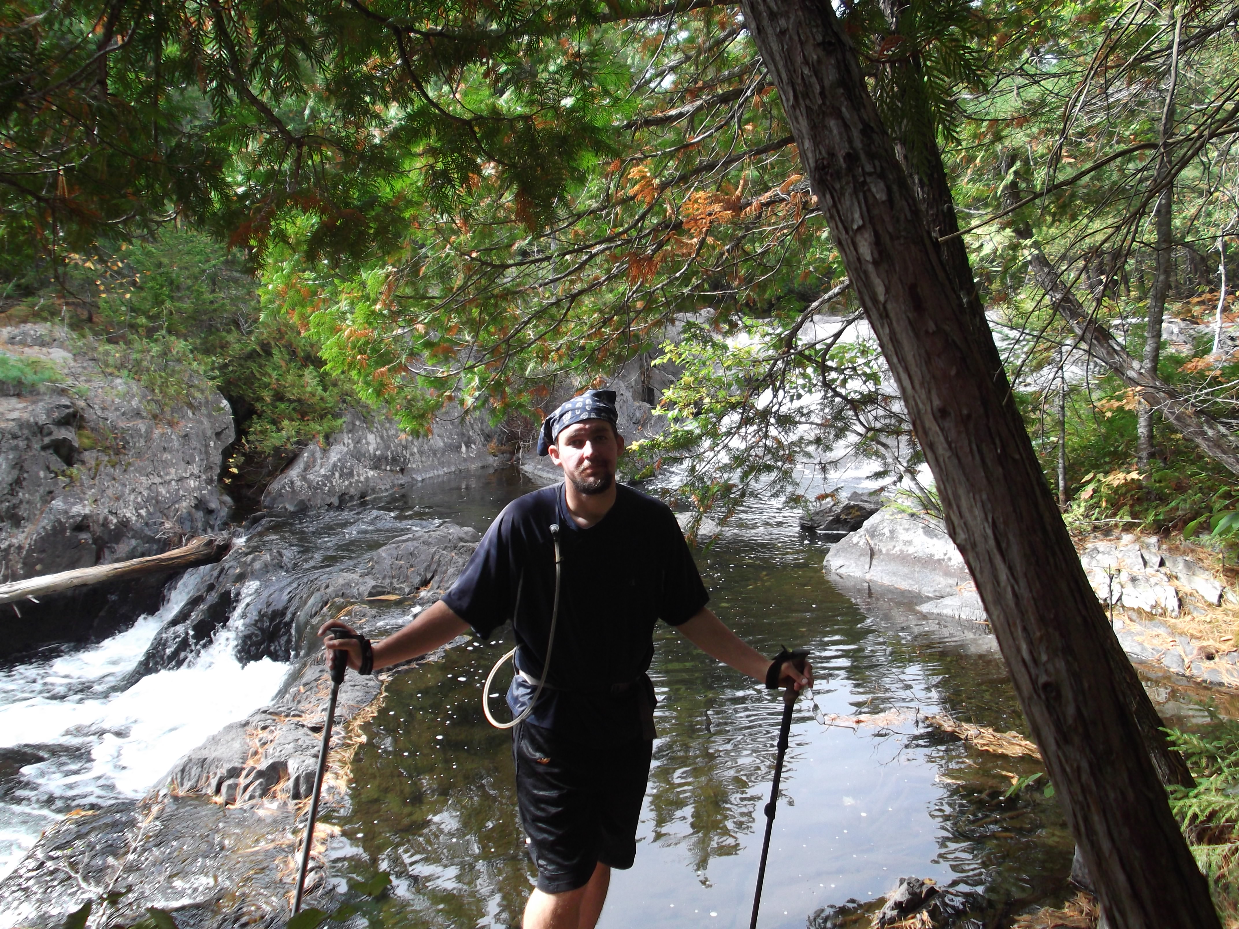
We started off the trek with the only serious hill of the day, climbing from the level of the river to the level of the low ridges that surround the area. I started waiting on Mama right off the bat, and the trend continued all day, as the easy trail I had anticipated never arrived. I’d walk ahead a bit, find a difficult patch, and stand there to point out the easiest trail. Then we’d take some random pictures.
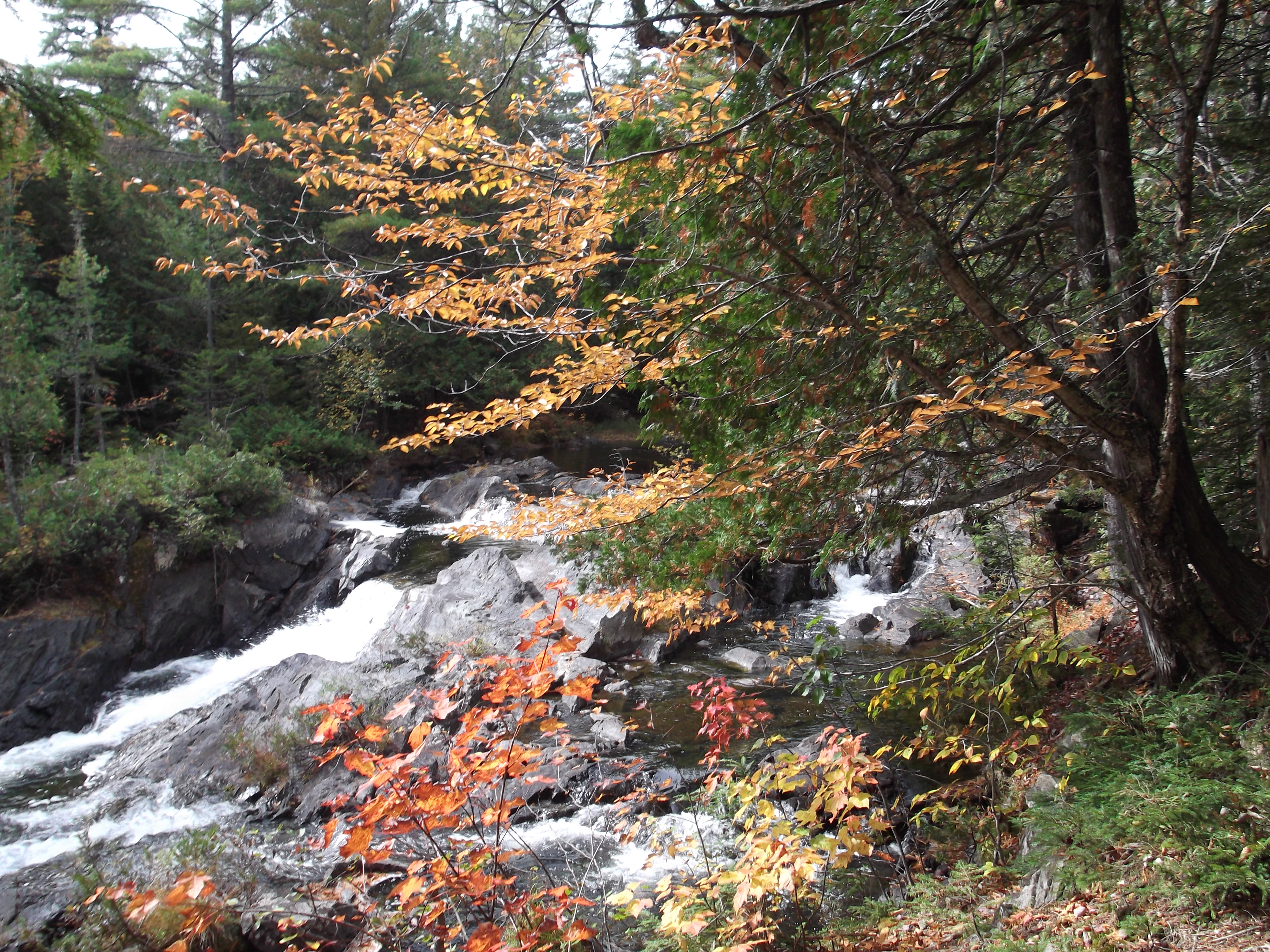
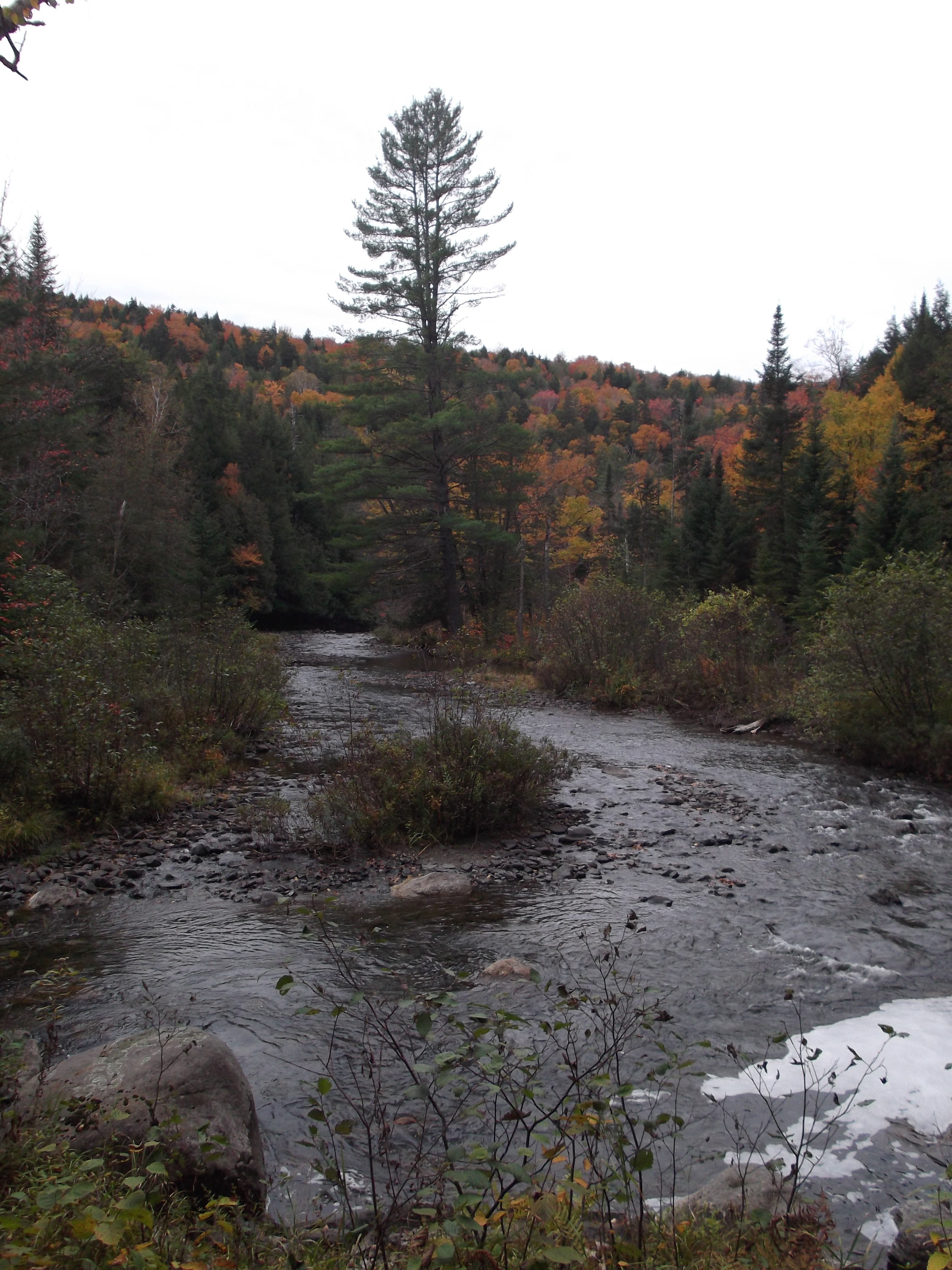
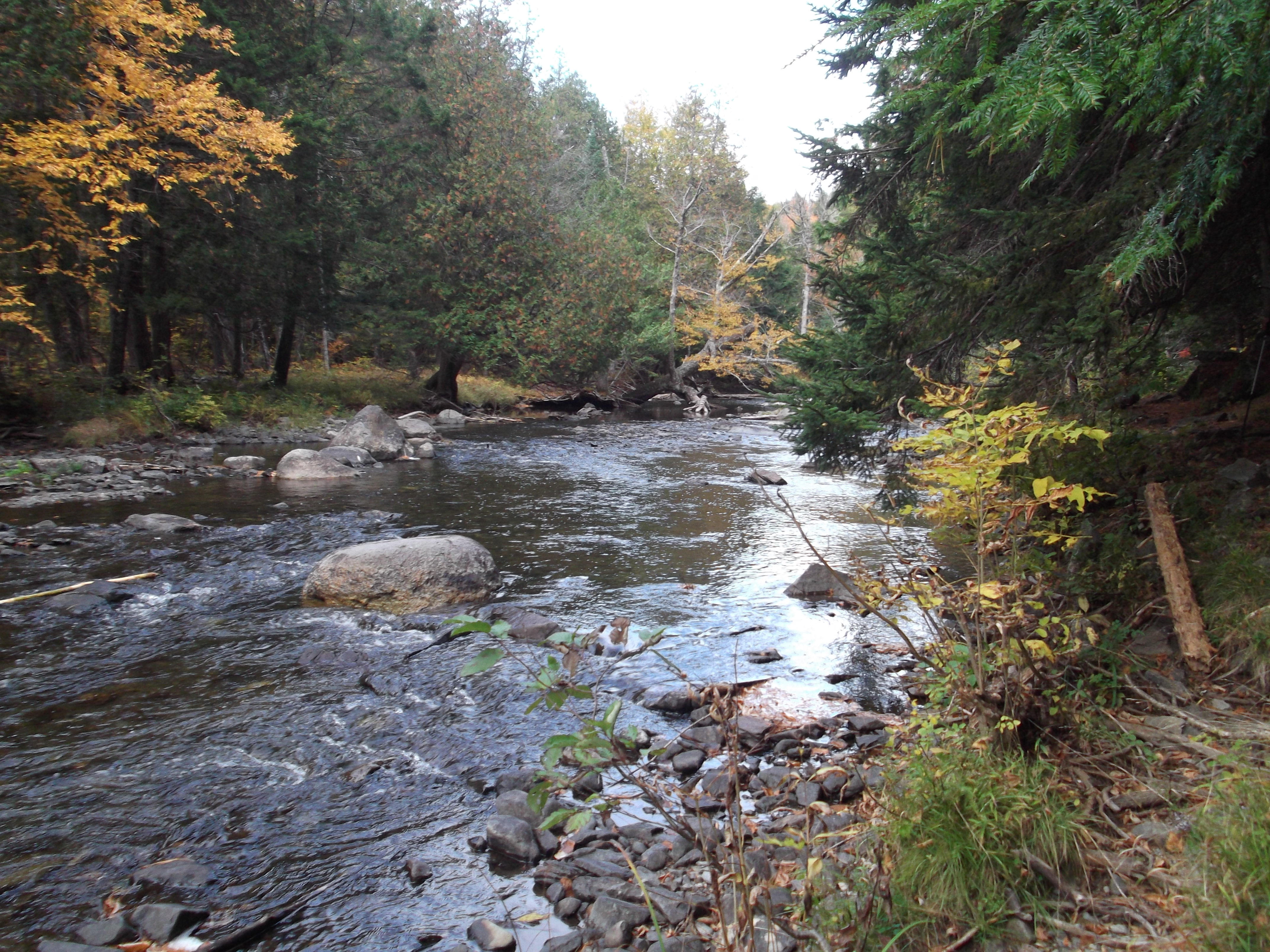
The terrain here was like nothing I’d seen elsewhere. The trail was far narrower, except where it clambered over tree roots, and was constantly being encroached upon by thick, luxurious green moss as it wound between the thick clusters of spruces and pines.
It followed a stream nearly the whole way, though it was frequently buried under five hundred feet of vegetation in a deep narrow ravine, where one could see the water’s surface through the leaves only by standing in precisely the right position.
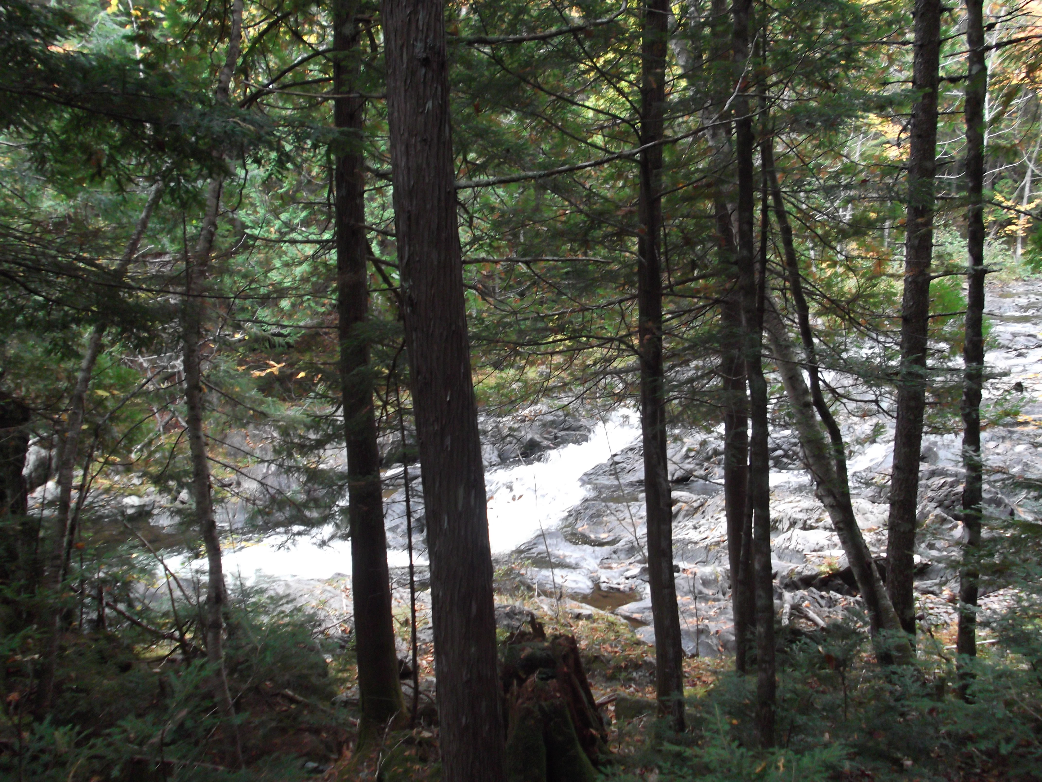
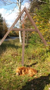
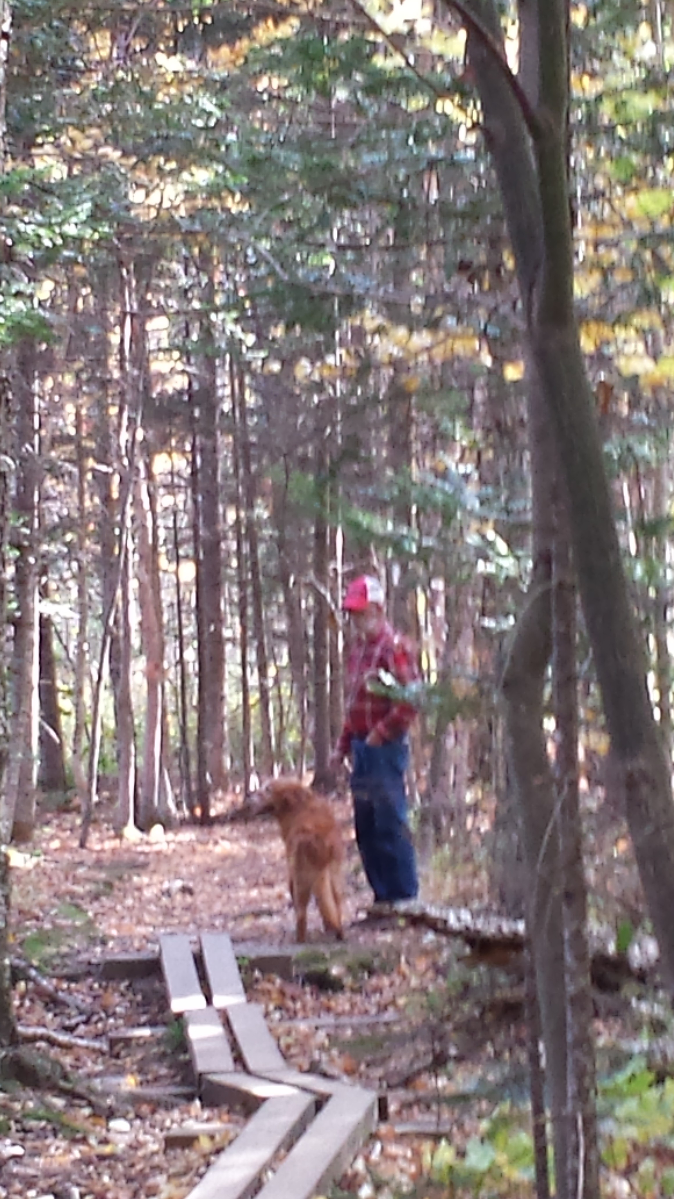
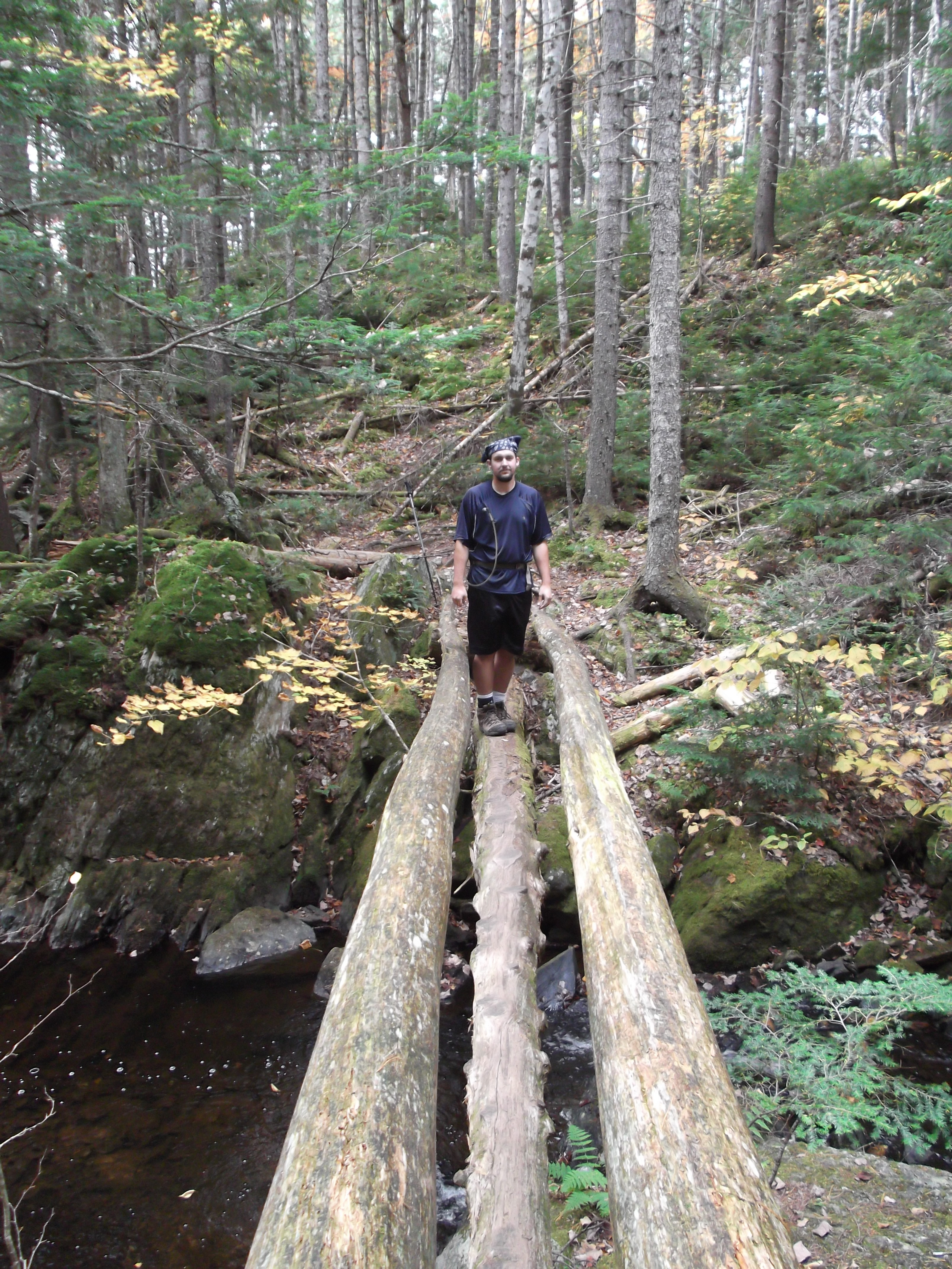
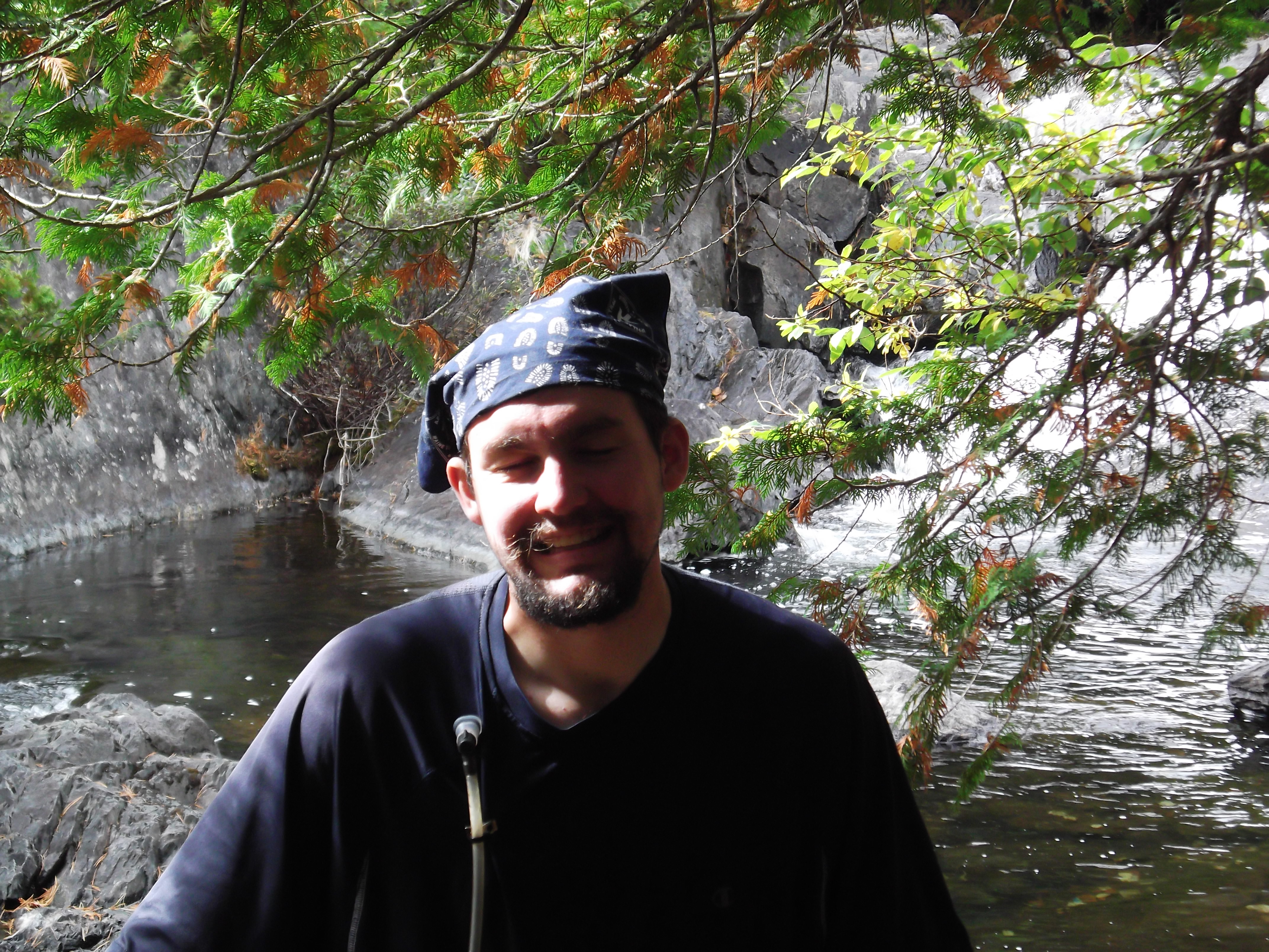
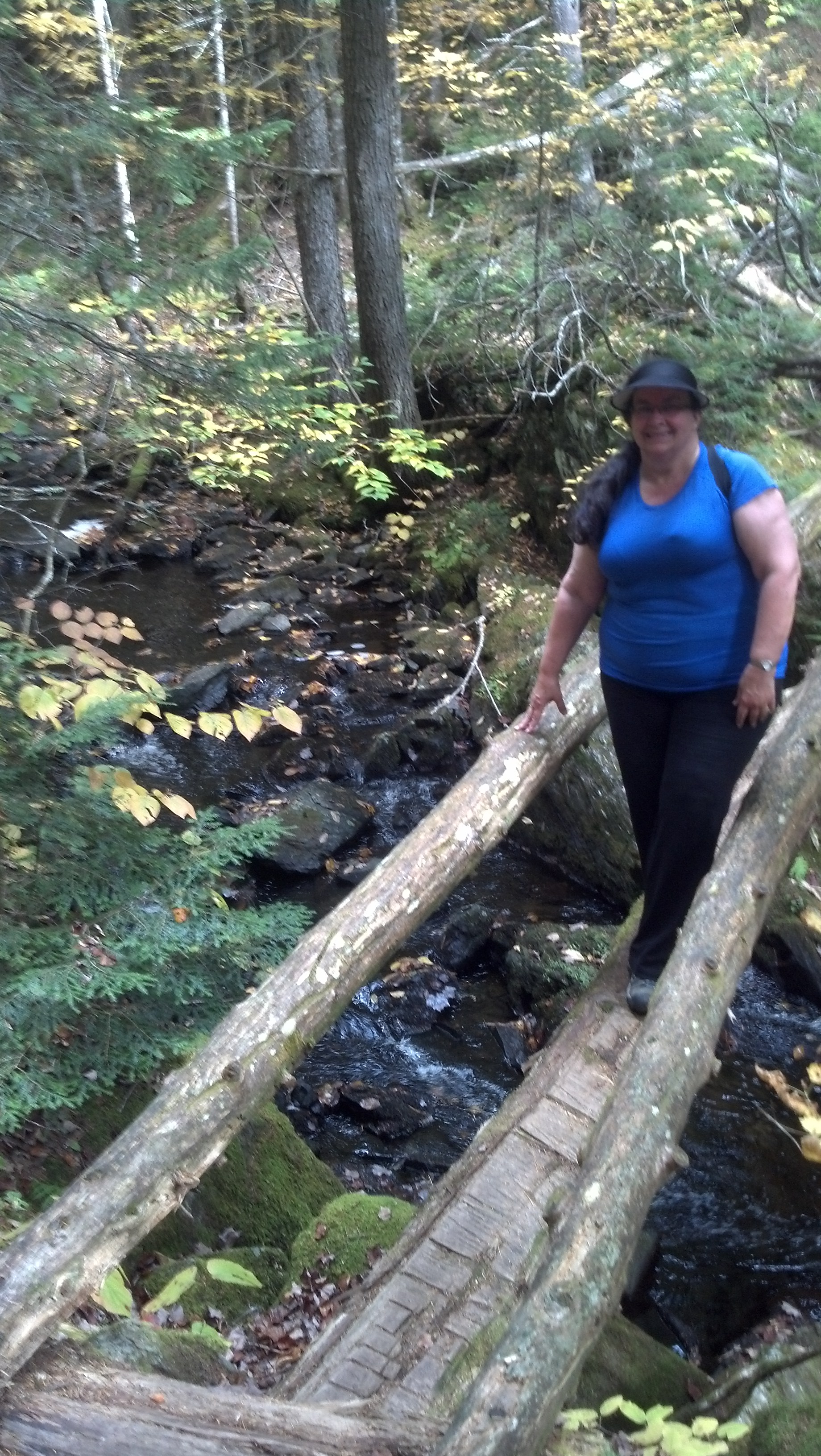
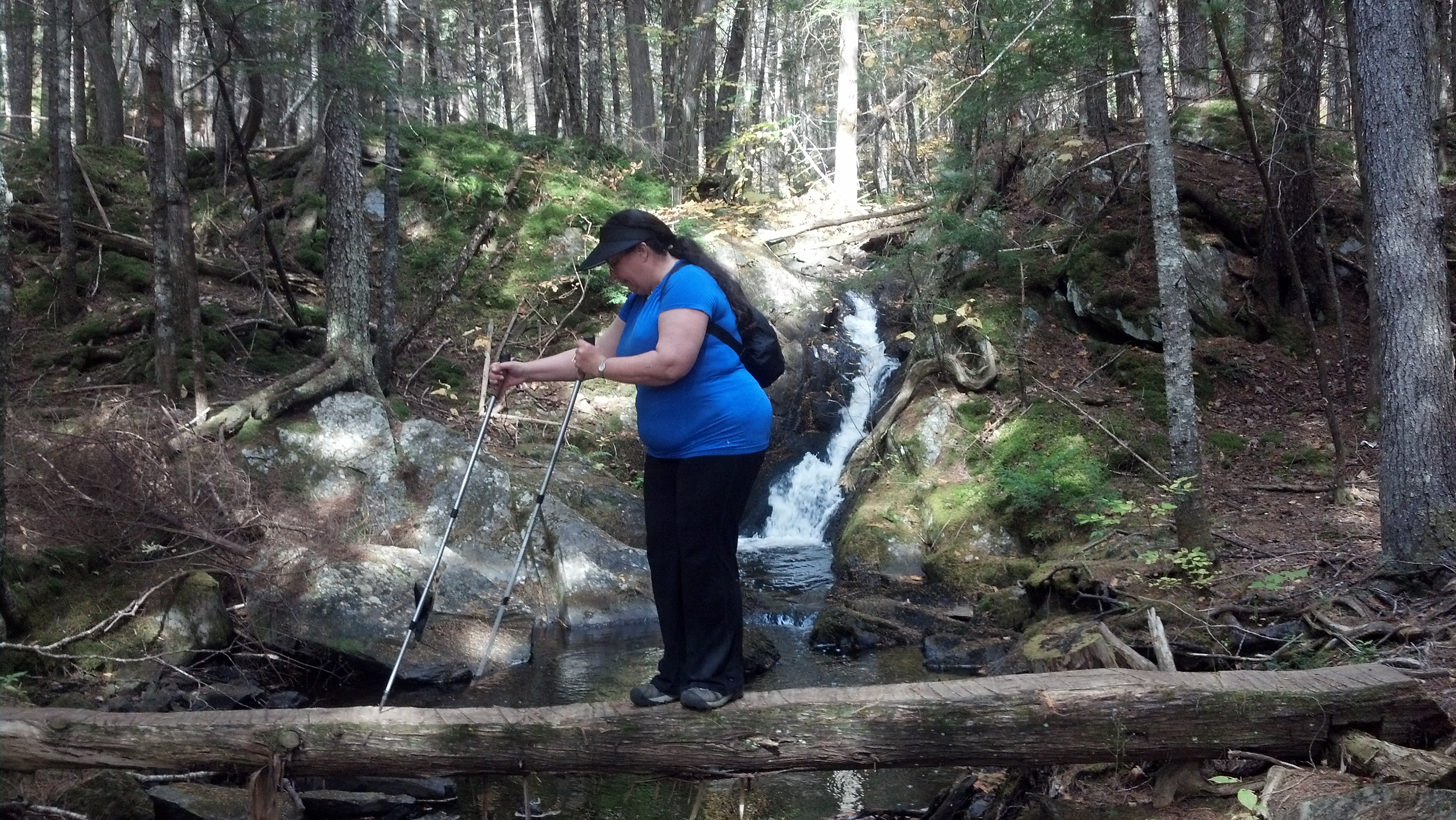
Just past here was another priceless photo opportunity, where a tiny stream had been helpfully bridged by a log and some handrails, but I’ll let Mama talk about that part.
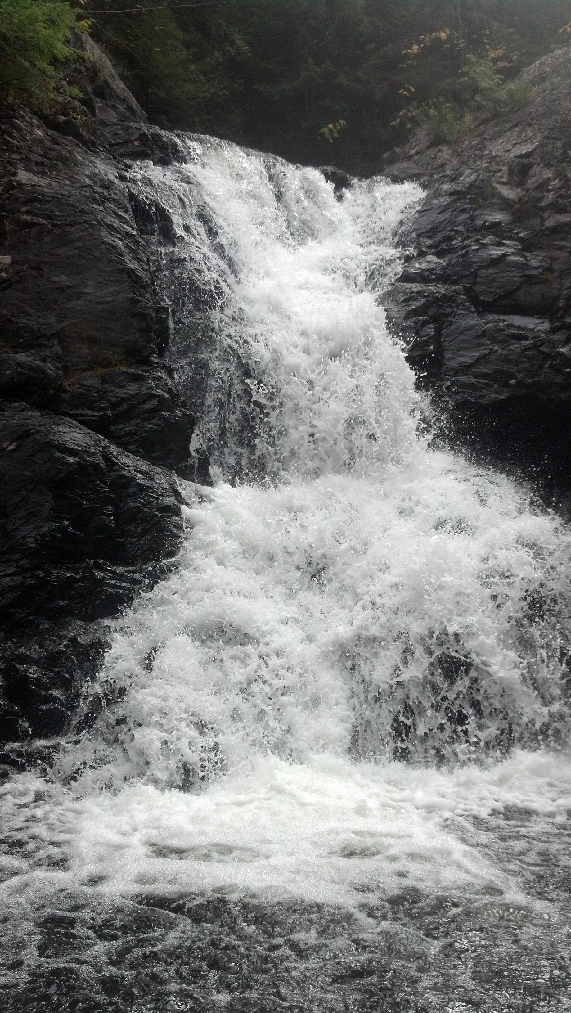
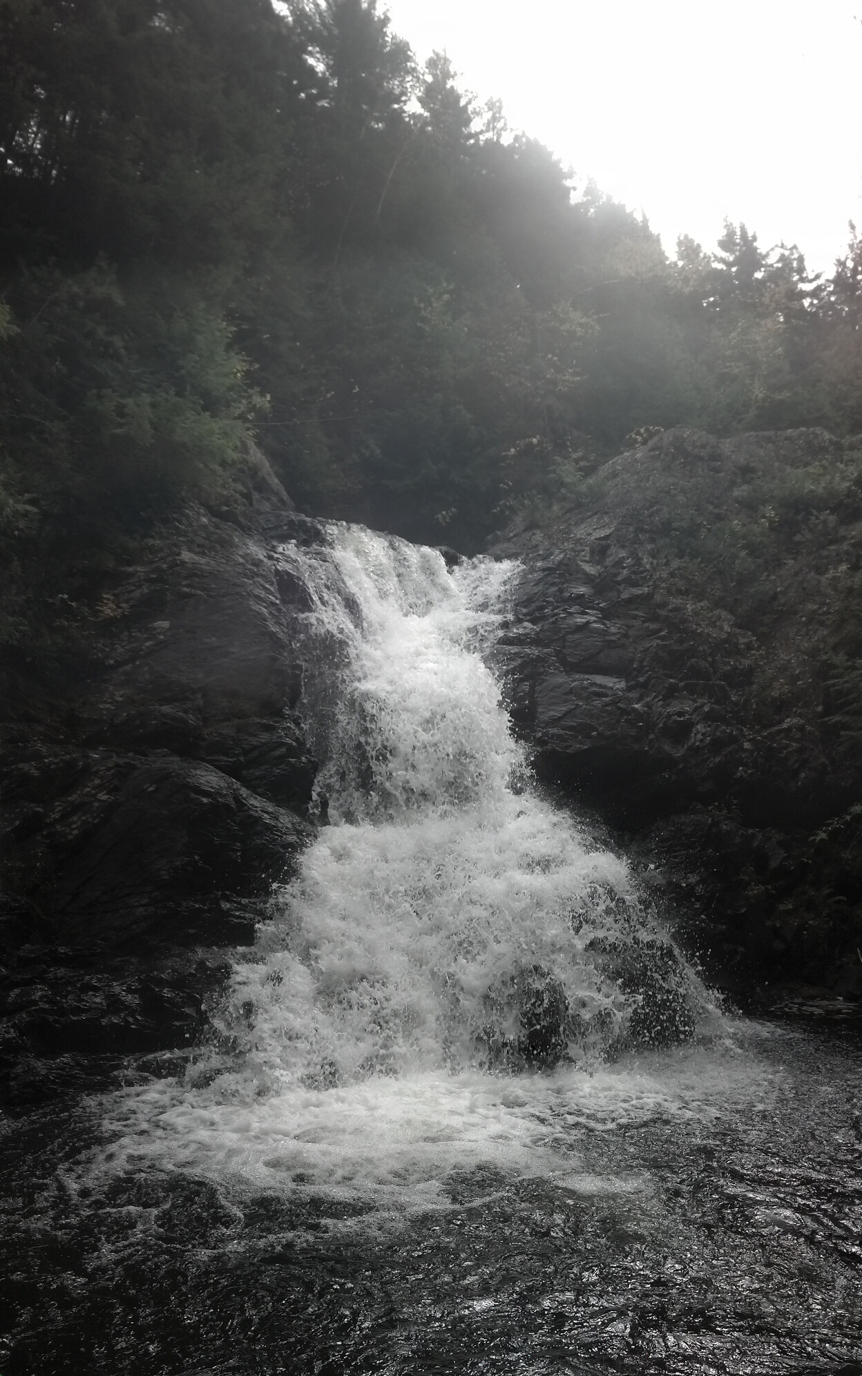
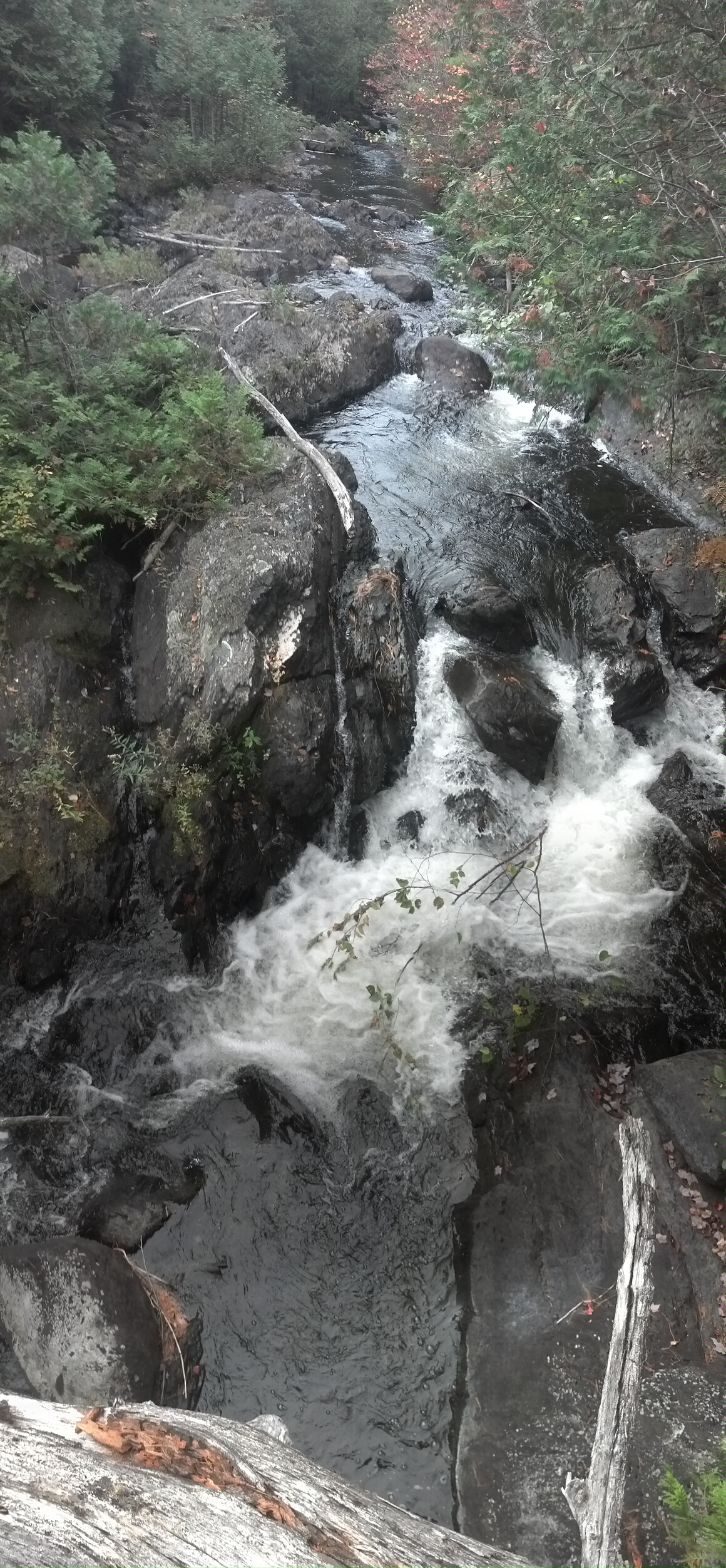
An hour later, I came to a side trail claiming to lead to a falls. A preliminary investigation showed that it was not your average trail, and there was no way Mama would make it. As it was clear we were already running late for our pickup, I sent her ahead nad took the camera down the side of the cliff and right up to the base of the waterfall. It was quite the treacherous climb and the trail looked unmaintained as of late. It required all hands on deck, if you know what I mean.

Just past here was another priceless photo opportunity, where a tiny stream had been helpfully bridged by a log and some handrails, but I’ll let Mama talk about that part.
Up further, the stream had risen to our elevation, and I climbed carefully out onto an enormous tree downed across the stream to stand above it and watch the water pass beneath me.
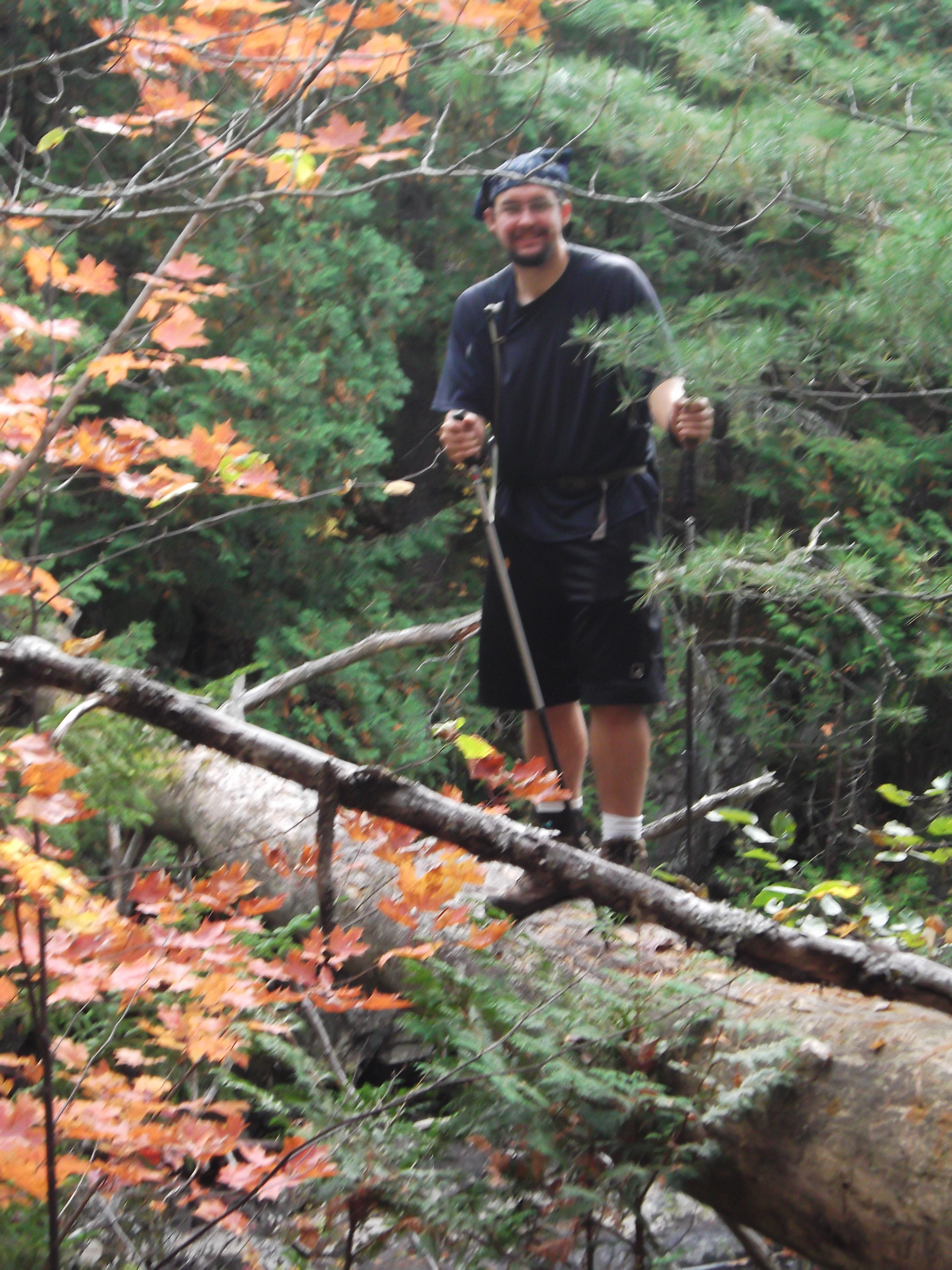
Upstream!
We came out onto the road near Harrison’s Camps on Pierce Pond. We had arrived around an hour late, but our rental car was nowhere in sight.
After waiting for half an hour, I decided to head up to Harrrison’s Camps to see if a phone was available, or whether anyone was around who had seen Daddy that day, while Mama stayed by the road to flag him if he passed.
Harrison’s Camps was actually quite nice, with a lodge and several tiny quaint cabins and a short walk down to Pierce Pond. At home that day was Harrison himself and no guests. After informing me that he had seen no one around, and that he himself was about to drive into town, he told me all about the camps and how hikers loved his red-white-and-blue pancake breakfast special. Given that I was unable to reach Daddy’s cellphone on his landline, and knew of no one else to call, I gave up and walked back to the end of his driveway, knowing at least that we could get a meal and a bed here if our ride never showed up.
It wasn’t long after I’d arrived back at the road that our boxy little rental SUV came bumping down that washed out dirt road following another pickup truck. Turns out Daddy had an adventure all his own. He’d gotten three or four different sets of directions, and driven right past the pickup point before we’d arrived, totally missing the sign for Harrison’s Camps that would mark the trailhead. Finally, he’d fallen in with a couple who were driving around burying meat for coyotes, and marking the caches via GPS, so as to know where to later leave traps, who said they’d eventually wind up at the AT if he could follow along and help them out a bit.
This is one thing that stands out about Mainers: the understanding that everyone, including neighbors, co-workers, friends, and strangers, could be called on for help, including with physical labor. And everyone agrees, and everyone owes everyone favors. It’s like Down East Dickering writ large and slightly more classy.
We were the last things that needed to be loaded into the SUV before we could start travelling. There was no point in leaving anything at the Inn to go back to pack up, as, though it was but 7 trail miles away, it was some 24 miles away via road, and our next night was nowhere near Caratunk. We had an hour and a half drive up the highway to Monson ahead of us, and a significant portion of that would be spent wending our way back through the labyrinth of dirt roads that Daddy had followed back here just to arrive at a bit of pavement. Most of upstate Maine is still in the middle of nowhere.
And here’s what Mama remembers:
David had invited me to hike a 4 mile section in Caratunk, ME and I was so excited. He knows that I love hiking with him even though I do not have his pace or strength on my side. But he is a patient hiker and just enjoys the views when I fall behind.
We made a pickup plan that morning with the help of the owner of Sterling House as he had good maps for us to show Mike where to retrieve us after the hike. When everyone had their plan in place, we left Sterling House and Mike dropped us off early enough so that we could be at the Kennebec Crossing on the AT by 9:30 am. We entered the woods and hiked down to the crossing. I was very excited about this because I had read about the crossing in several journals and books on the AT. The original man who took hikers across the river made quite a name for himself. Unfortunately, he had recently passed away and a volunteer had taken his place. This section of river is very temperamental due to the rise and fall of the water so a canoe crossing had been established for the safety of the hikers. The crossing is an official part of the AT. We had planned to ring the bell which signals the paddler of the canoe to pick up hikers on the other side of the river. As luck would have it, there was no need to ring the bell because Southbounders were crossing the river just as we arrived. They exited, we chatted, and then we signed an agreement that we were taking our life into our own hands by climbing into this canoe with a stranger. (Insert eye roll.) So, we signed the documents, donned our life jackets and hopped into the red canoe to cross the river. David paddled in the front, the owner paddled in the back, and my job was to take pictures from the middle seat. It was a beautiful day so my task was easy. Little did I know that it would be the ONLY easy thing we did that day.
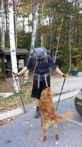
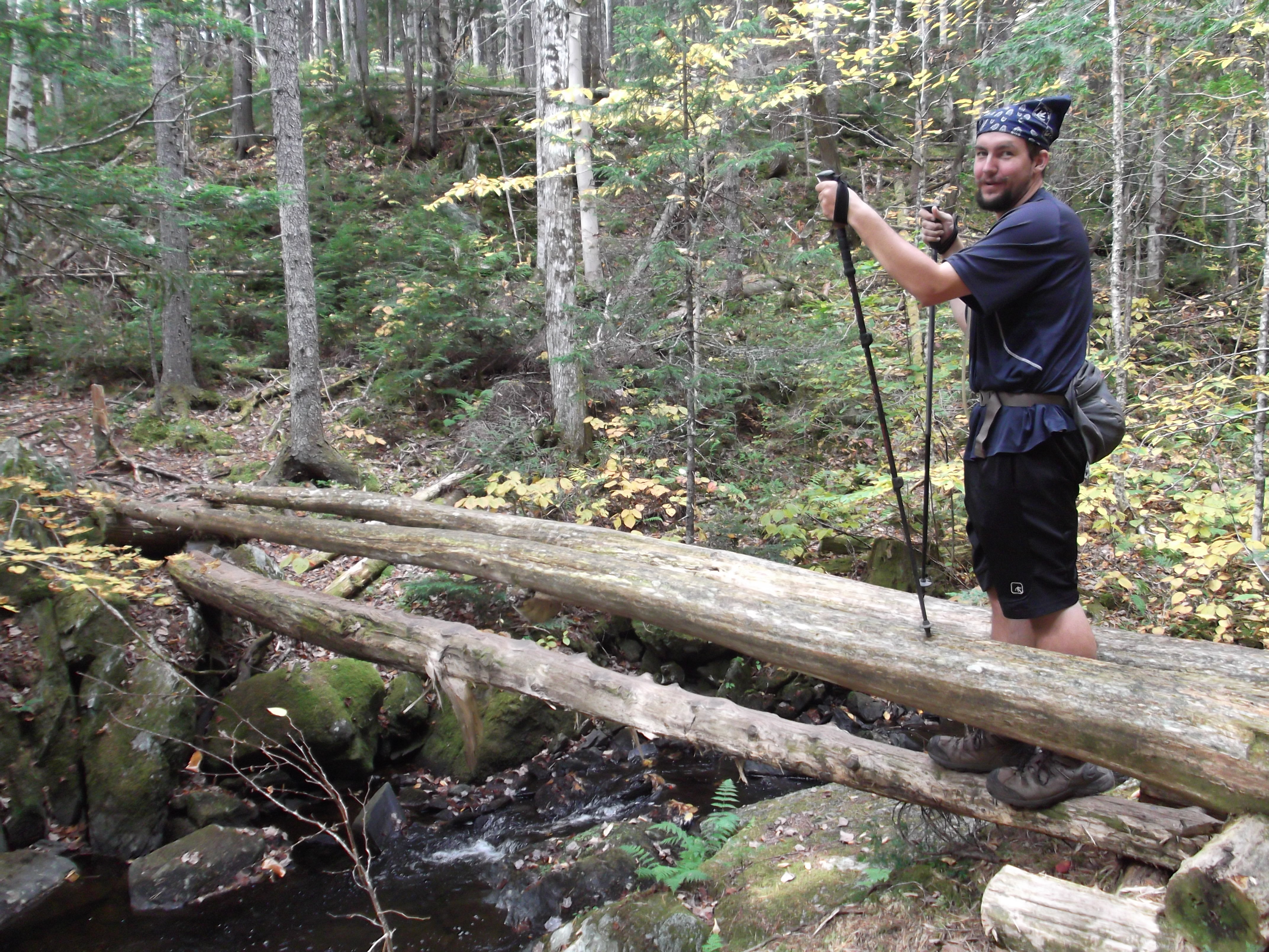
David had anticipated a short 4 mile hike for the day so we set off into the woods on the other side of the river. Little did we know that the trail would be riddled with bulging roots, rocks of all sizes and shapes, stream crossings on logs (so scary!), and some straight uphill climbs. Of course, this was just another day in the woods for David; but for me, it was a challenge. My feet are attracted like magnets to tree roots so I am vigilant about every step.
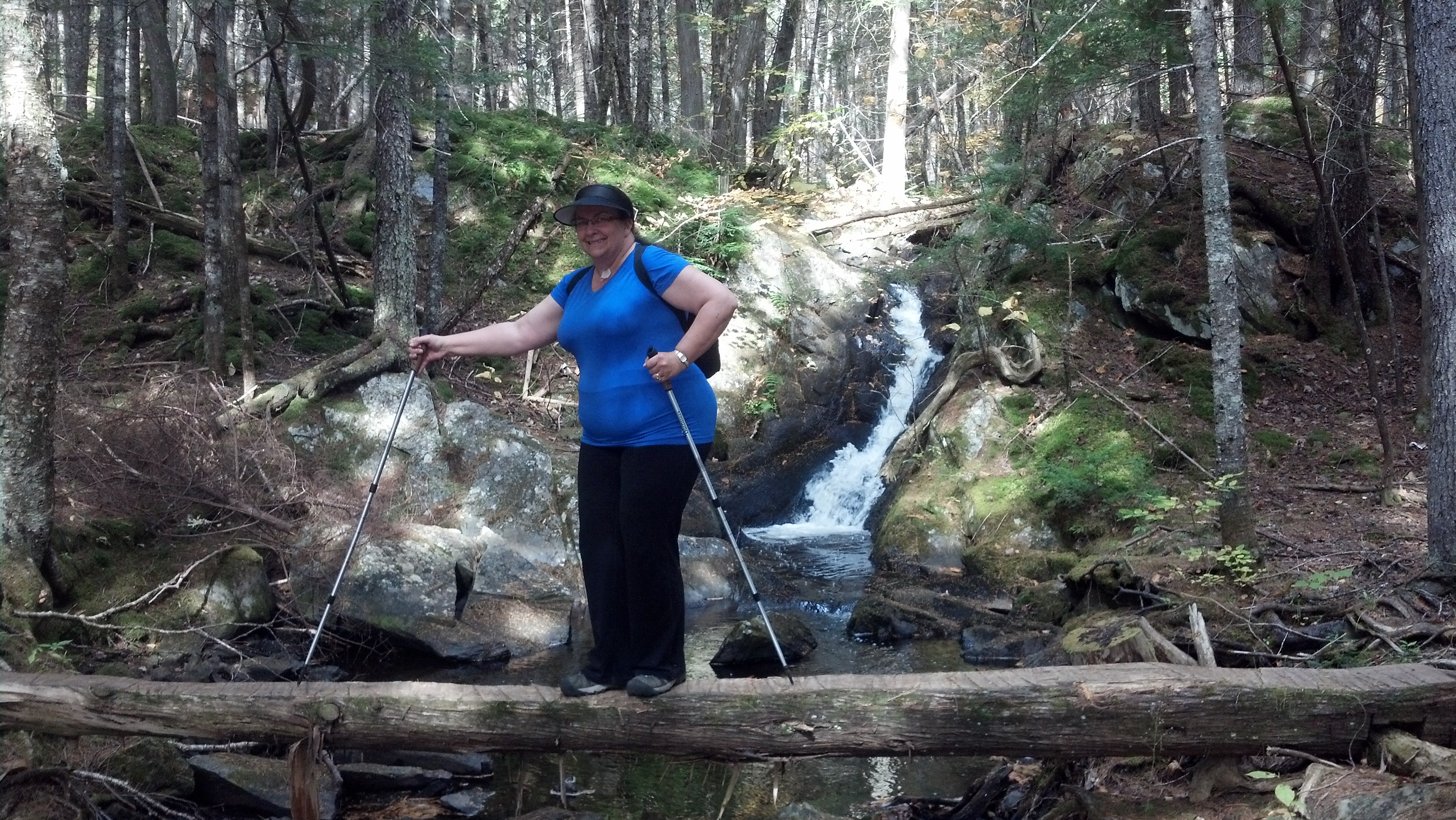
And, these were my first log over stream crossings so I was cautious about those as well. David took lots of pictures of me doing the log crossings because at one point I said, “You expect me to do THIS?” His response was a simple “Yes”. So, I did. (I must admit that I was quite proud of myself afterwards but won’t deny that fear was trying to get the best of me.)
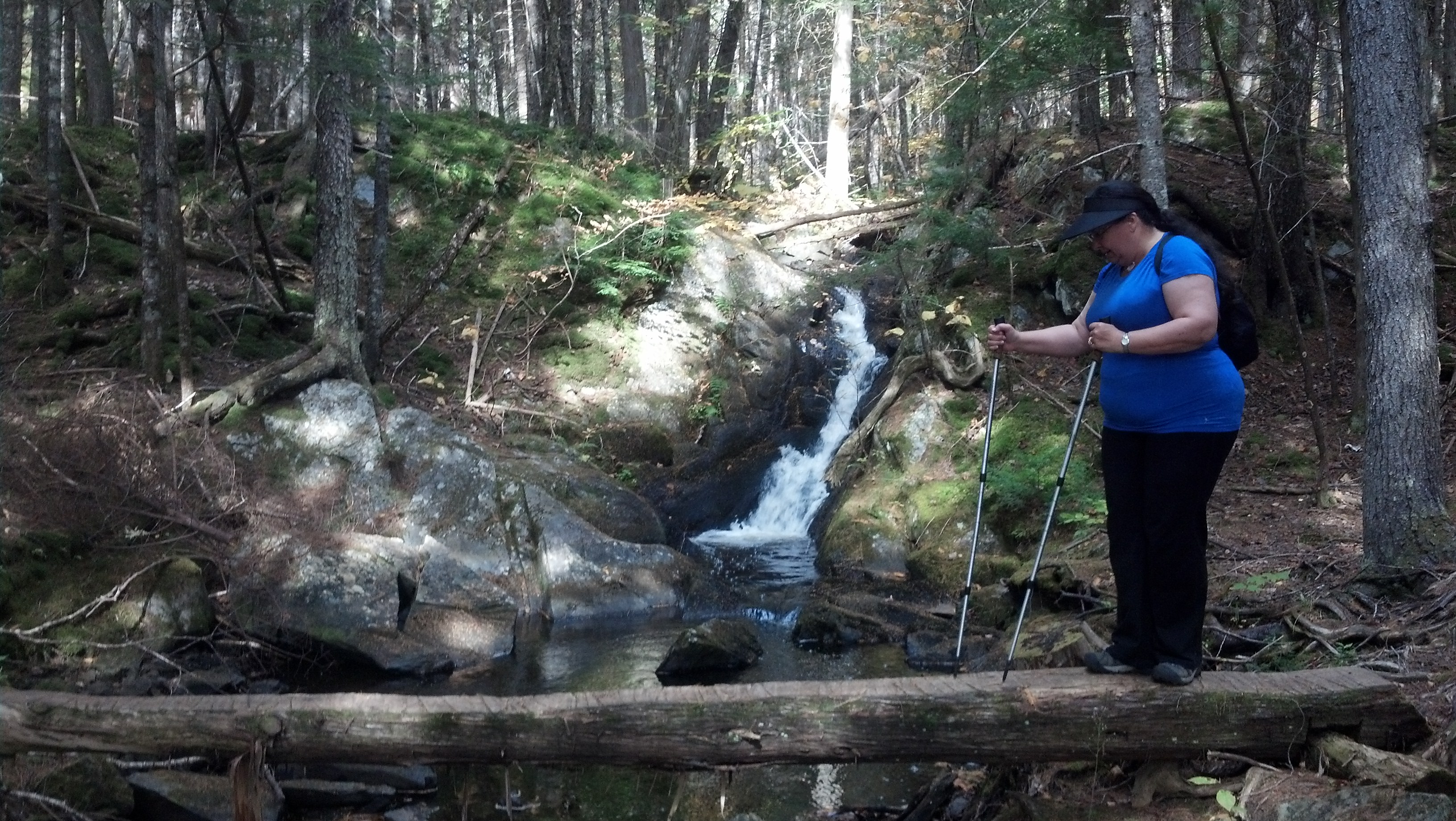
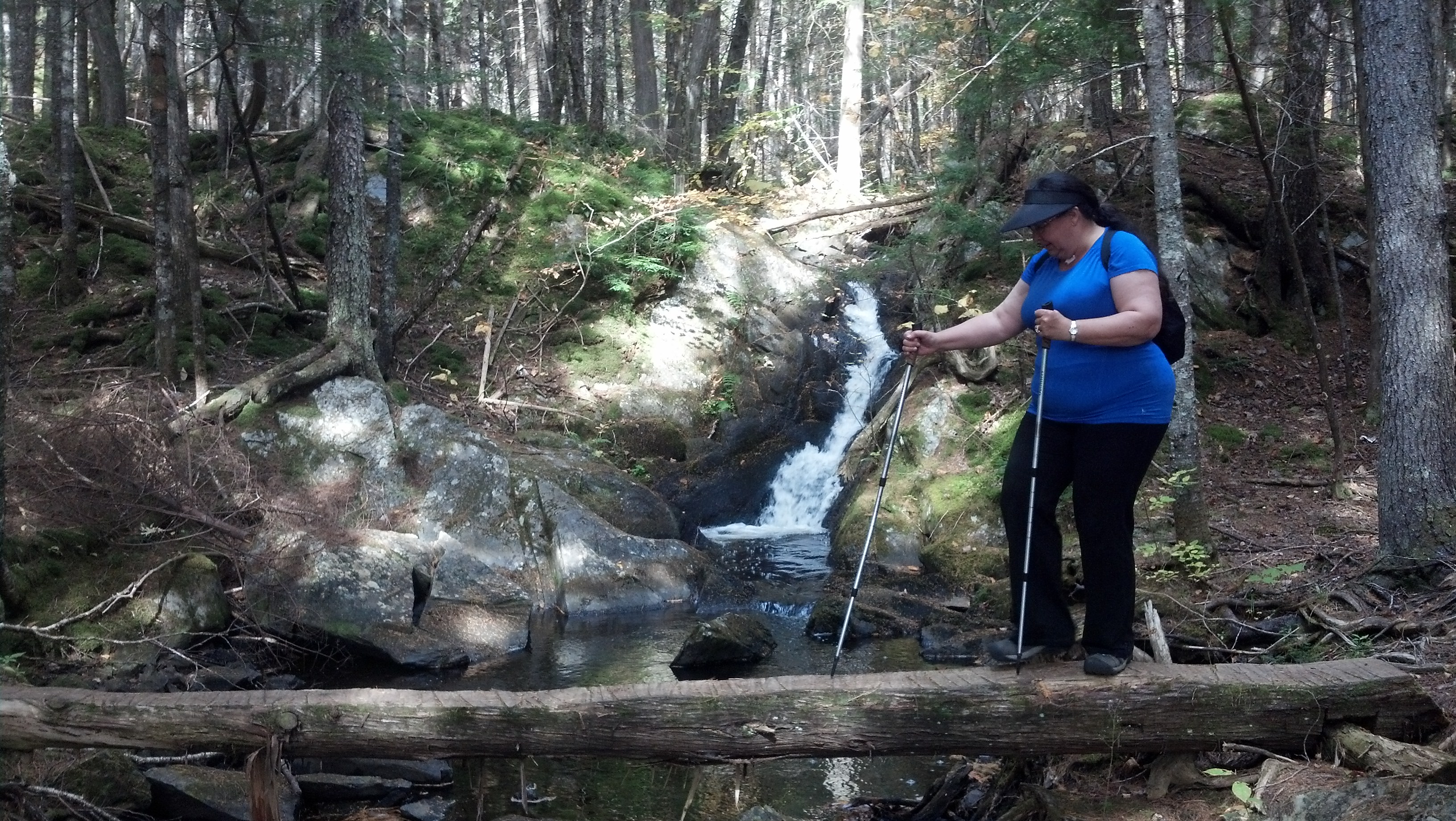
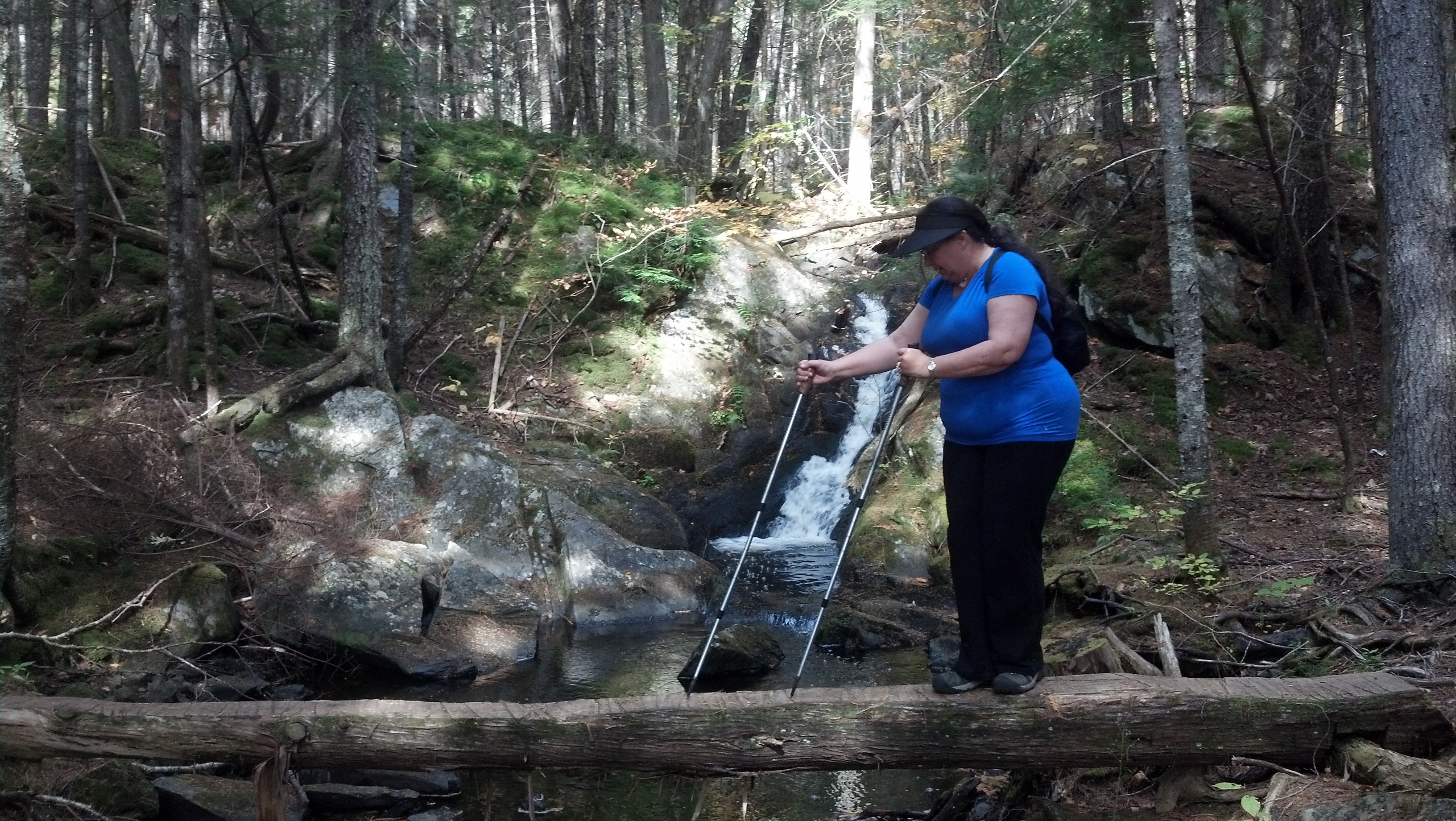
David is a great cheerleader for me and advises me how to accomplish these simple feats. The climb took longer than expected because the terrain was rough and the roots and rocks slowed us down a bit. It was a gorgeous day and I kept stopping to take pictures, so of course David found himself doing a bit of waiting for me to catch up.
When we finally came to the end of the 4 miles, we were about an hour behind schedule for our rendezvous with Mike. So we settled ourselves on the road near Harrison Camps and waited for him to arrive…….and waited…….and waited………and waited. We waited so long that we were concerned that he wasn’t able to find us since it was down a very deserted road which was difficult to find. So, David went up to Harrison camps and had an alternate plan in place. If Mike didn’t pick us up, we had shelter and David had some food and we both had water. Just as we were about to give up, here comes Mike escorted by a truck full of Mainers. He had overshot the pick up point because he never saw the Harrison Camps sign. But, all is well that ends well. He was a bit frazzled from his frustrating journey but after hashing it out with us, we headed to Monson, ME where we stayed at Lakeshore House.
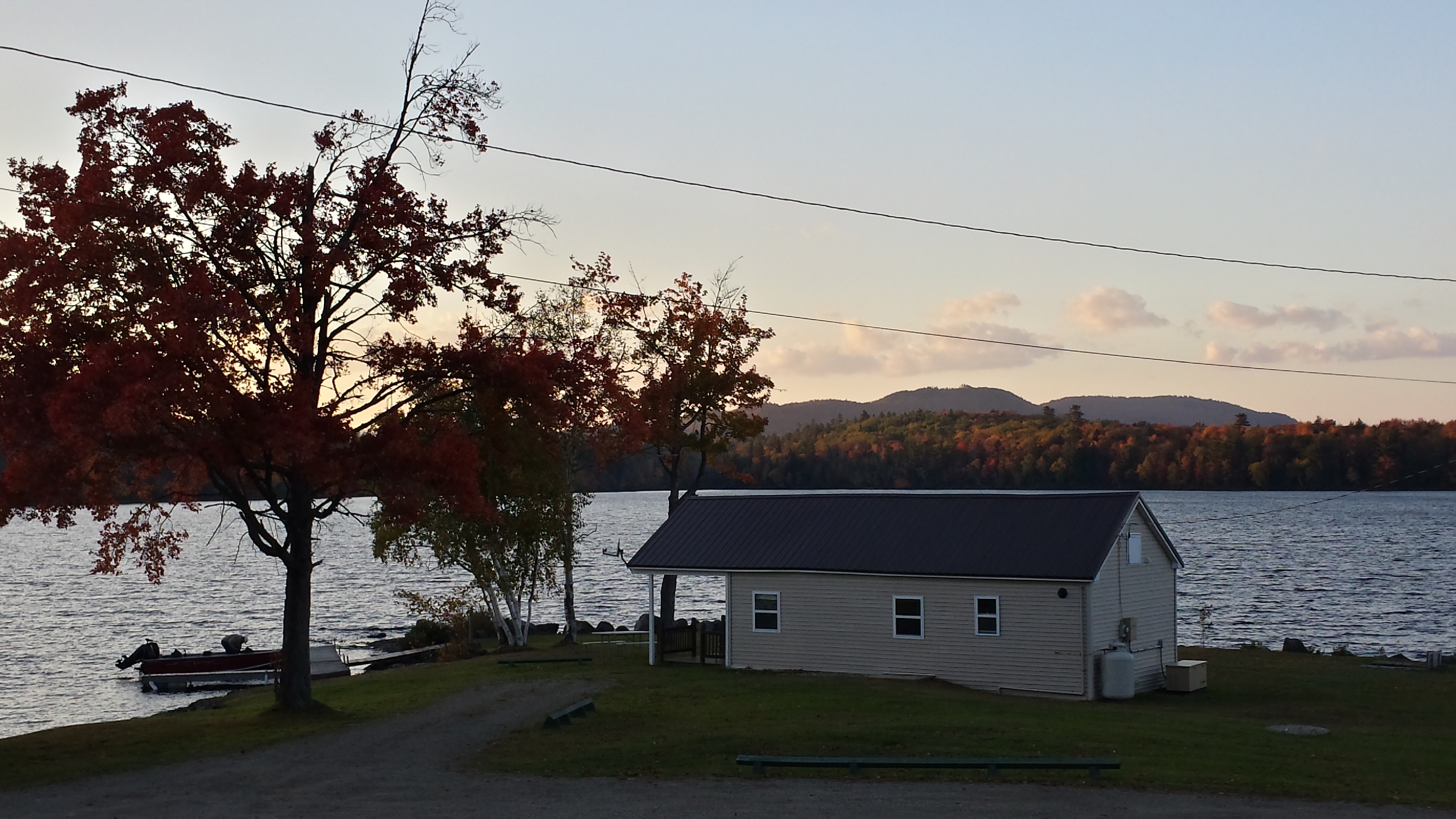
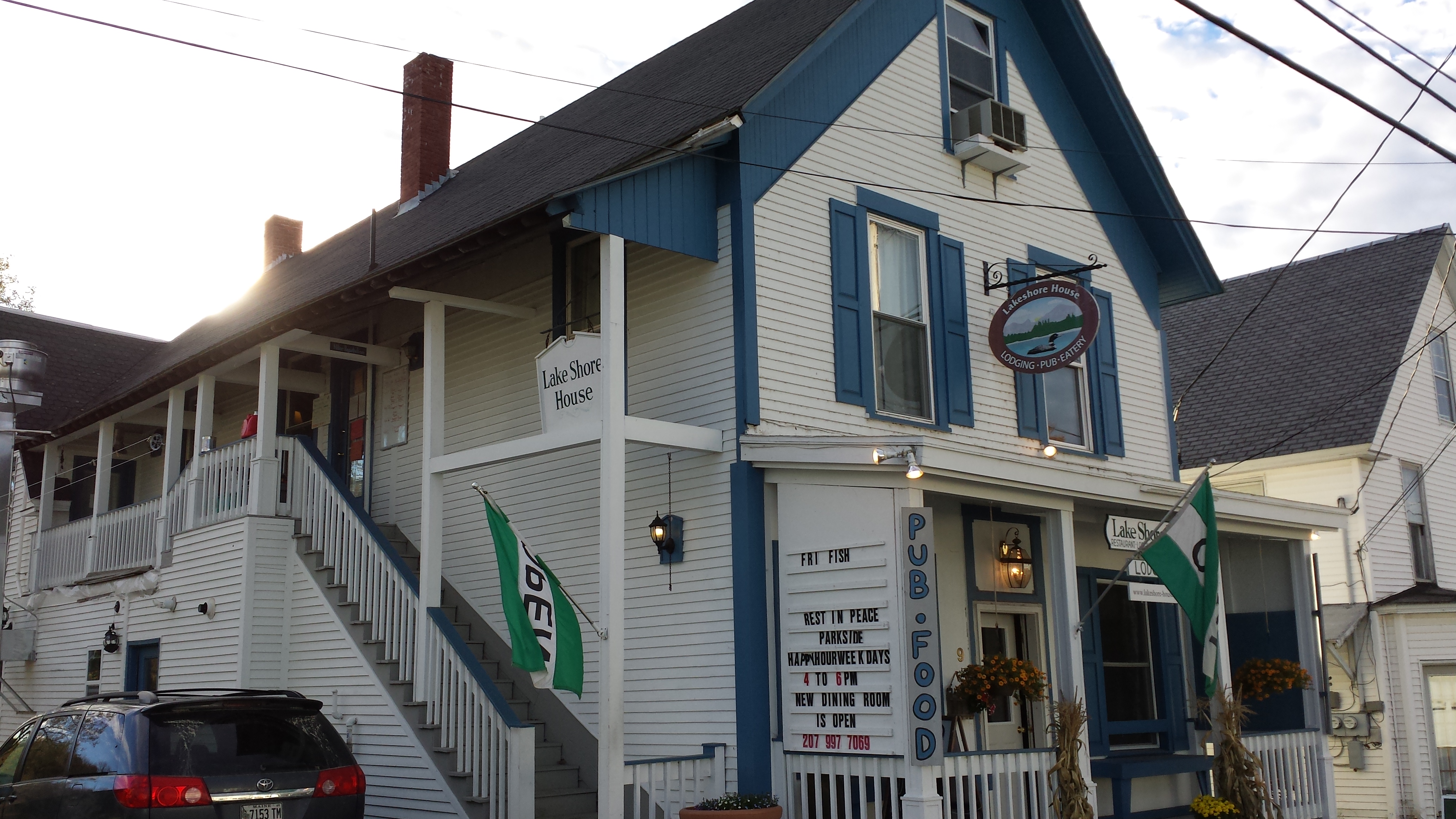
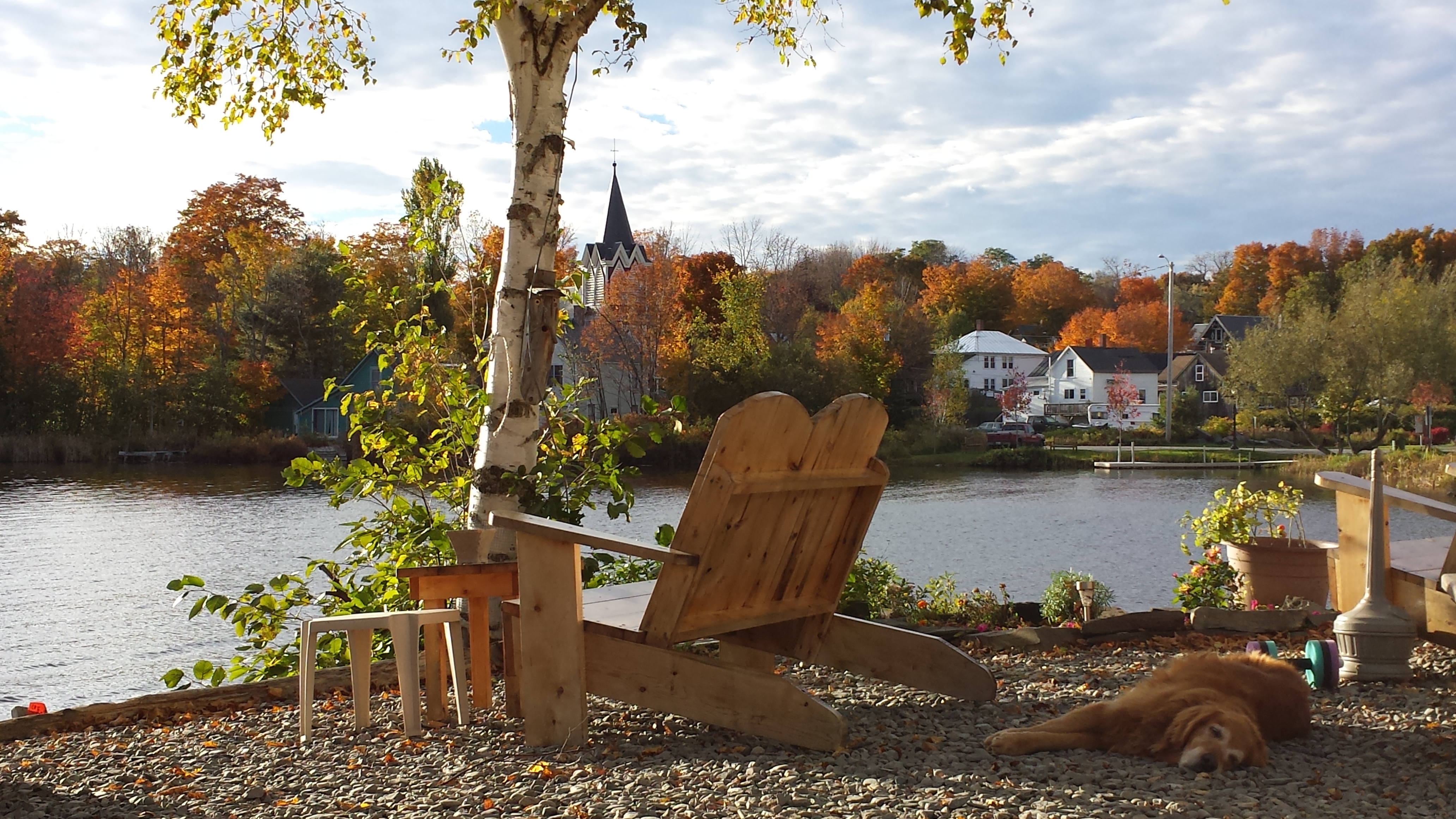
We had no trouble finding the Lakeshore House in Monson, as the main road through town passes right beside a lake, and there’s a large two-story house/bar sandwiched between them. This is one of two places in Monson with beds for rent, both catering to hikers and not particularly well-maintained. We managed to get a private bunkroom upstairs. My dad wasn’t particularly thrilled with this, as his words to describe the house were “fire trap”. In fact, there was even a sliding bolt lock on the outside of our room, which he yanked off the door frame as soon as he saw it. The prospect of being locked in a burning room from the outside probably haunts his nightmares.
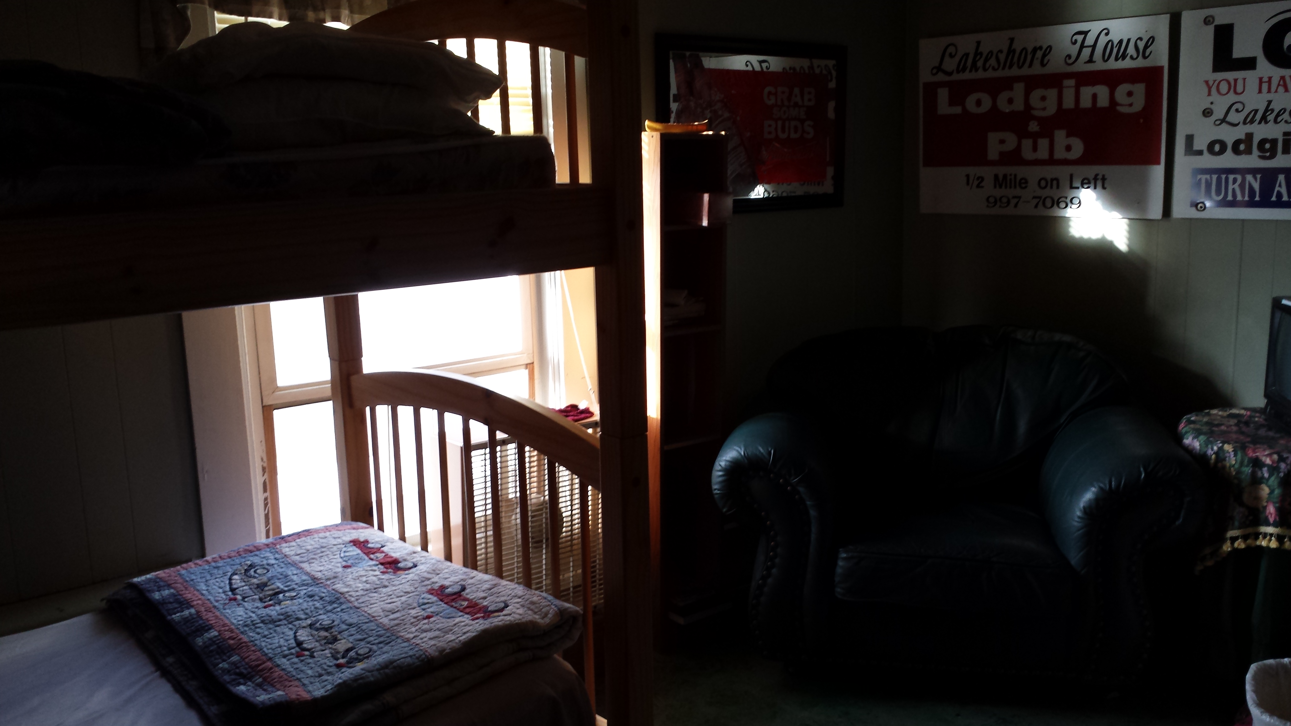
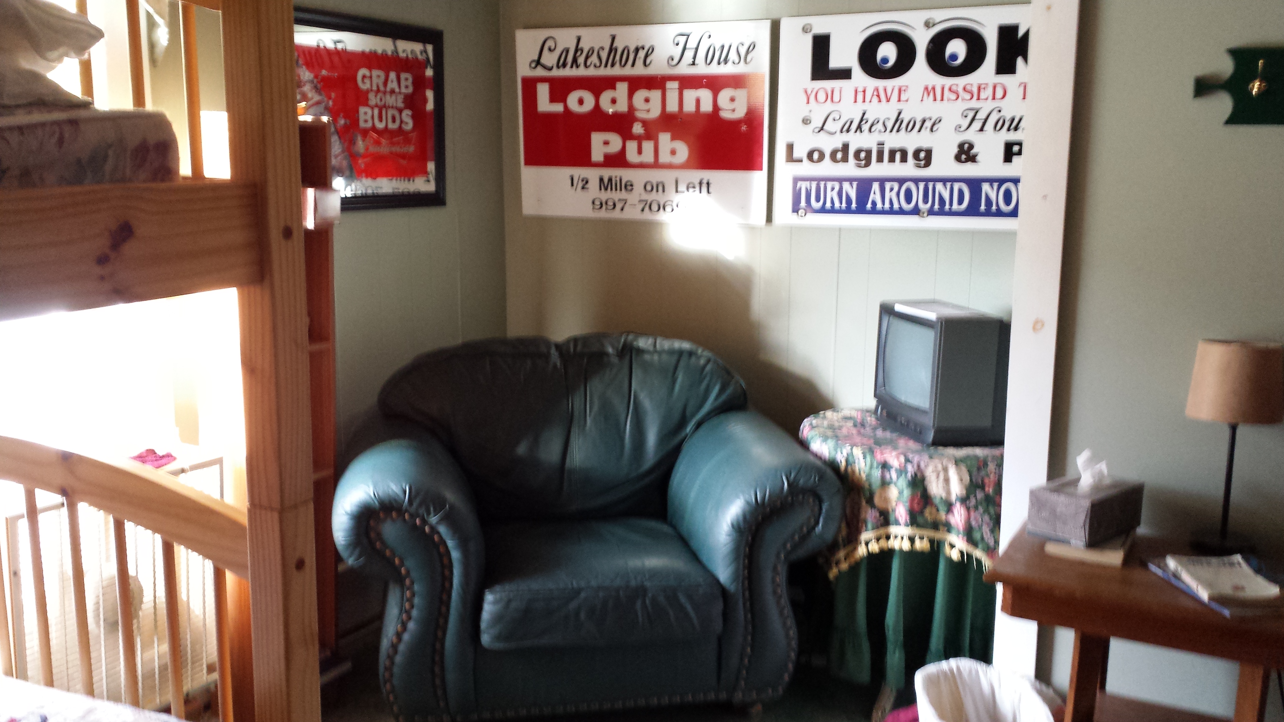
He was, however, pleased with the bar downstairs, which was packed with hikers and locals alike. Dimples had cozied up to the bar and Damselfly organized a table for her and some friends on the other side of the room, which was only ten feet away; the place was packed tight with tables and people. More importantly, Copper was welcome inside, and laid on the floor below us as we ate and drank and merrily watched the sun set out over the lake while bantering with the waitress.
I got a little weary of the atmosphere after a while, and headed upstairs to chill out a bit and get on the wifi. Pop Tart and Enoch and another lady whose trail name I can’t recall were there on the sofas, and one of them had a laptop. There was a TV and VCR there, so someone decided to put on Fast Times at Ridgemont High, a movie which I hadn’t seen in years, but which I’ve always remembered fondly.
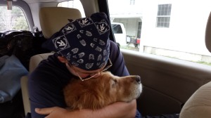
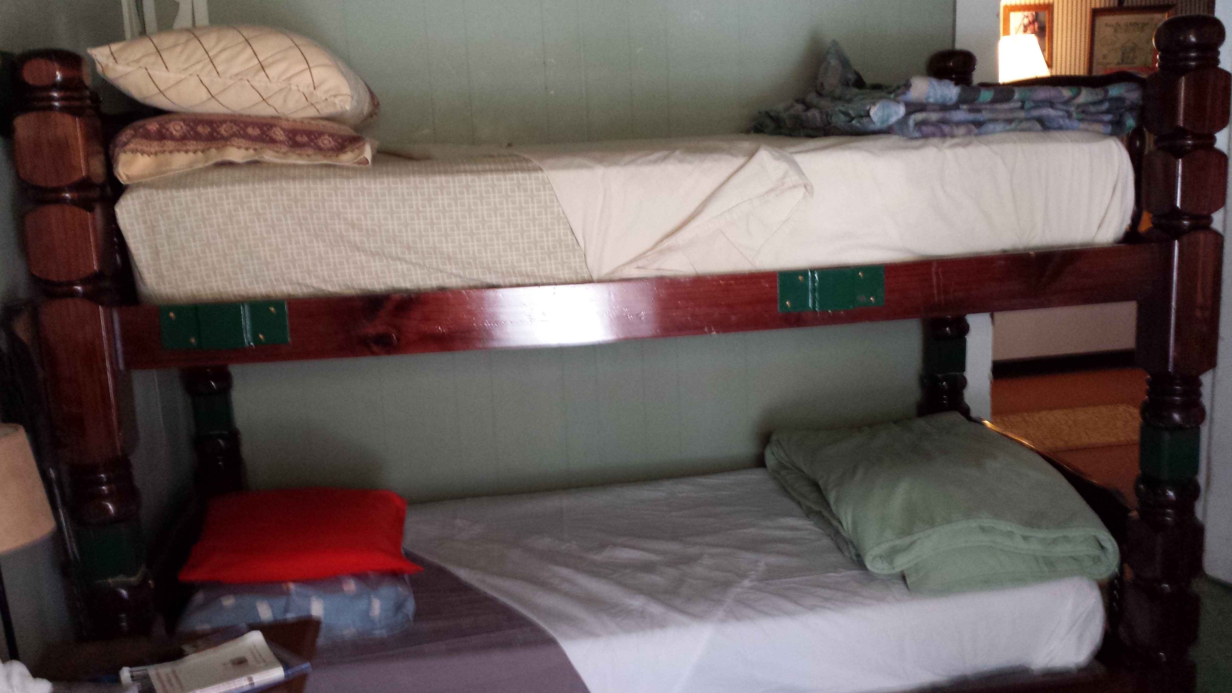
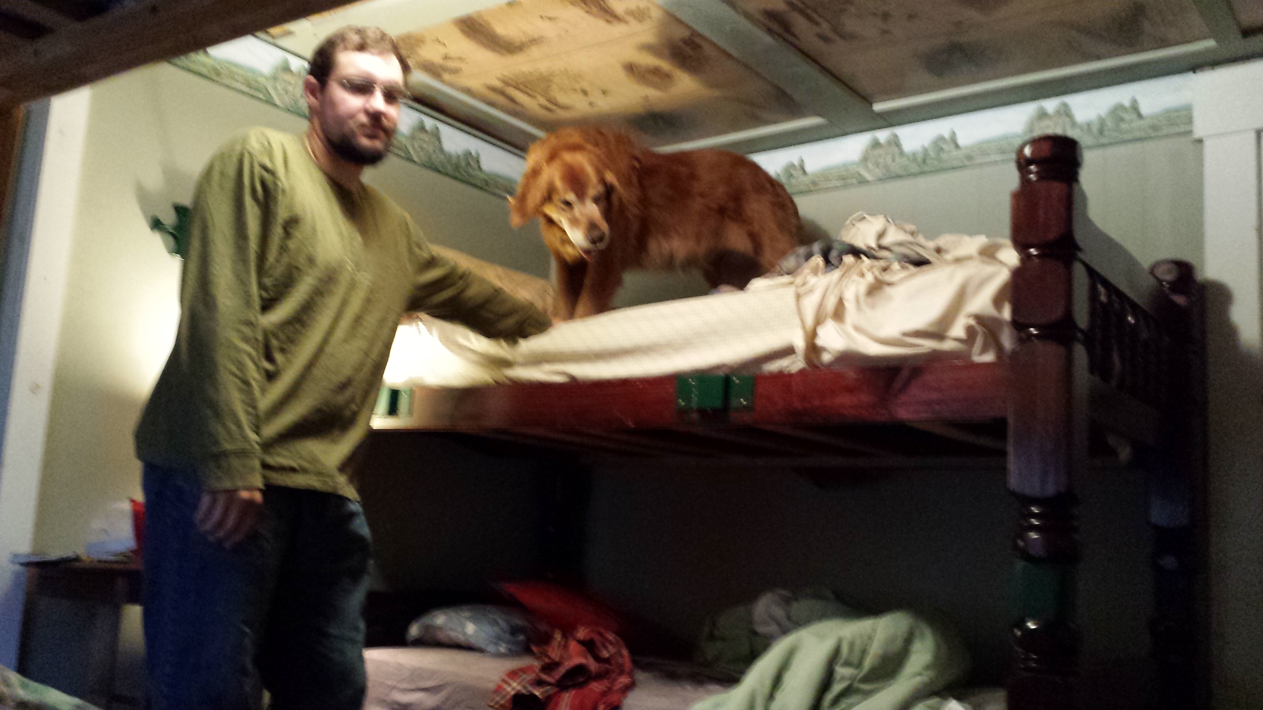
I stayed up late uploading more videos and finishing the movie out, and both my parents were in bed when I decided to come in. I was assigned a top bunk, but Copper hadn’t been given any bunk, so I heaved him up into mine, and we cuddled that night. Of course, this occasion called for pictures, when all I really needed or wanted was sleep.
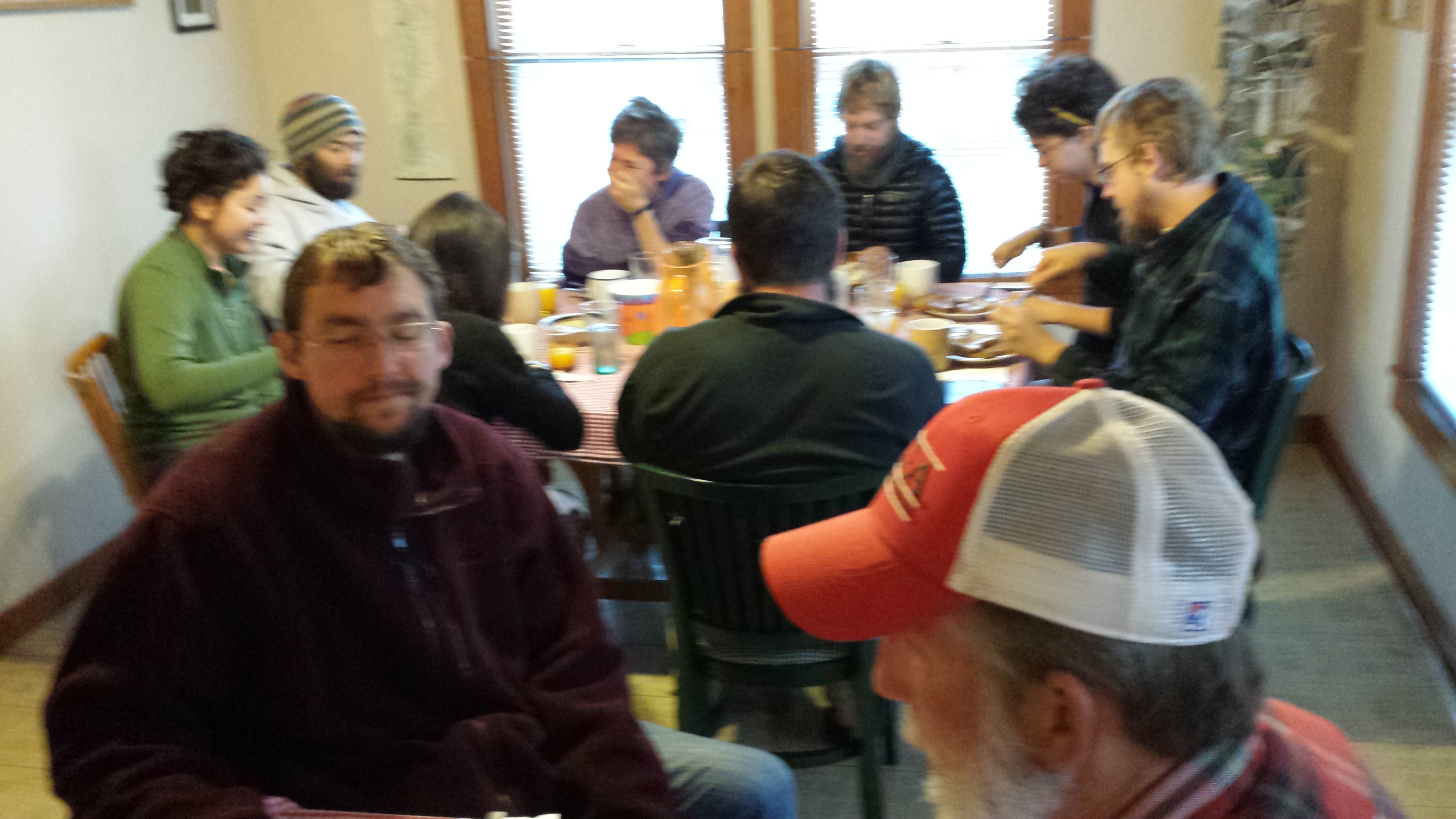
The next morning was a whirlwind of activity. The previous night I’d phoned a breakfast for 3 in to Shaw’s, which is famous for its “1-2-3 Breakfast”, so we knew what time we had to be up and driving to make it to Shaw’s to catch it. A good number of hikers of all ages, as well as one photojournalist, were already there drinking coffee and deciding whether they wanted 1, 2, or 3 sausages or bacons or pancakes, including, to my delight, Six and Dangerpants.

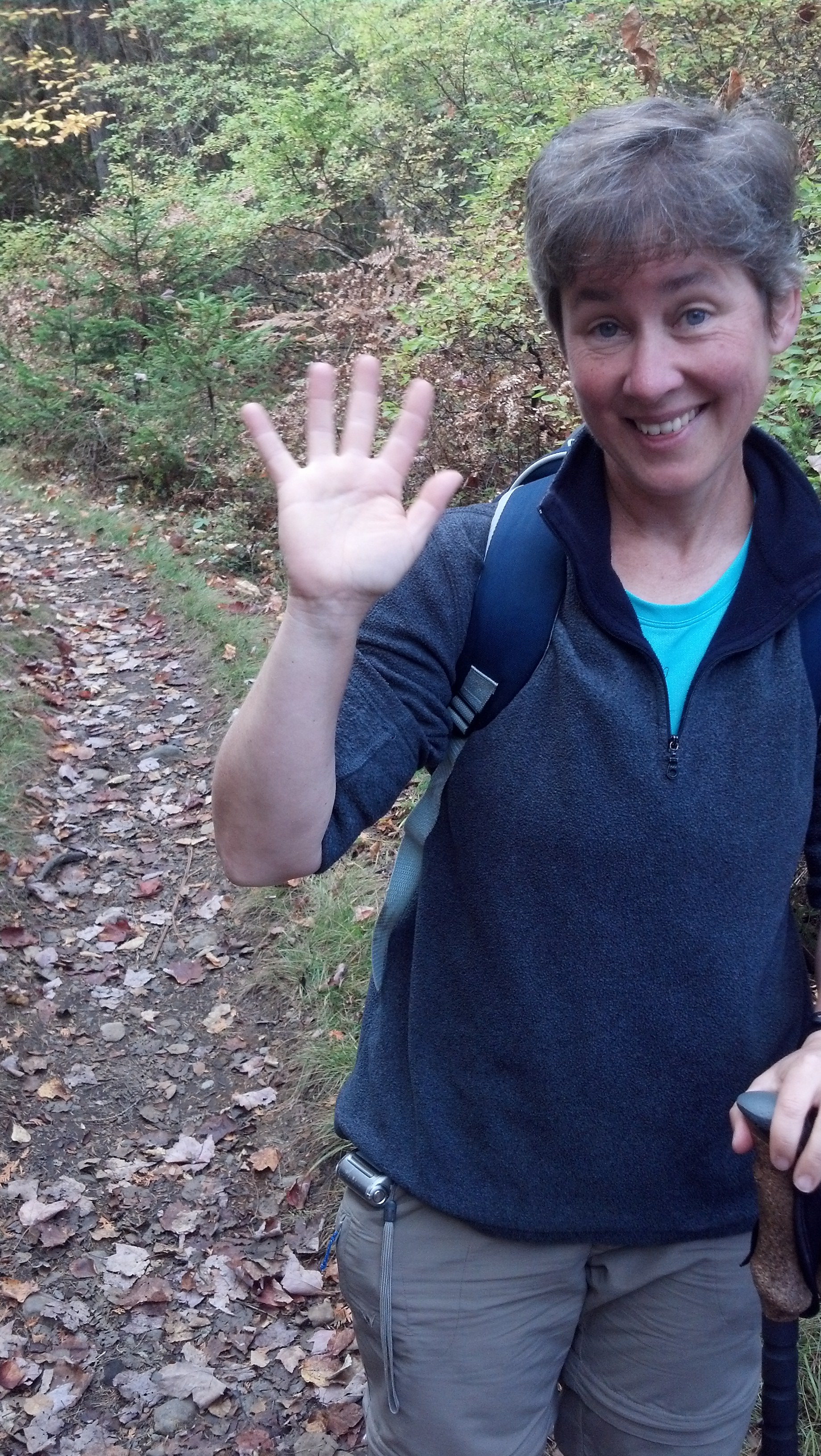
Morning hair
They had sped through Maine with a design to climb Katahdin with a number of trail friends, skipping several large sections on the way. They would eventually complete this plan, after relocating to Millinocket and waiting most of a week for weather on Katahdin to clear up, the day I would come out of the Hundred Mile Wilderness, leaving them to do the wilderness while I finished up Southern Maine. It was a happy coincidence that brought us to Monson at the same time (though I had hoper skipping that far ahead would make it happen), so we (especially Copper) spent some time catching up over and after breakfast.
The plan for the day was to pack up, grab some last minute supplies, pick up a package, and get to the trail as soon as possible. I’d already stopped and shopped for a week’s worth of food while driving halfway across Maine a couple of days before, so it shouldn’t have taken long, but it turns out there’s a lot to do to get put back together for solo dog hiking after even a short time spent slacking and riding in cars. For instance, first of all, Copper had to make some new friends, also old Goldens.
While I got my hiking clothes back on, including ankle braces in preparation for the infamous roots of Maine.
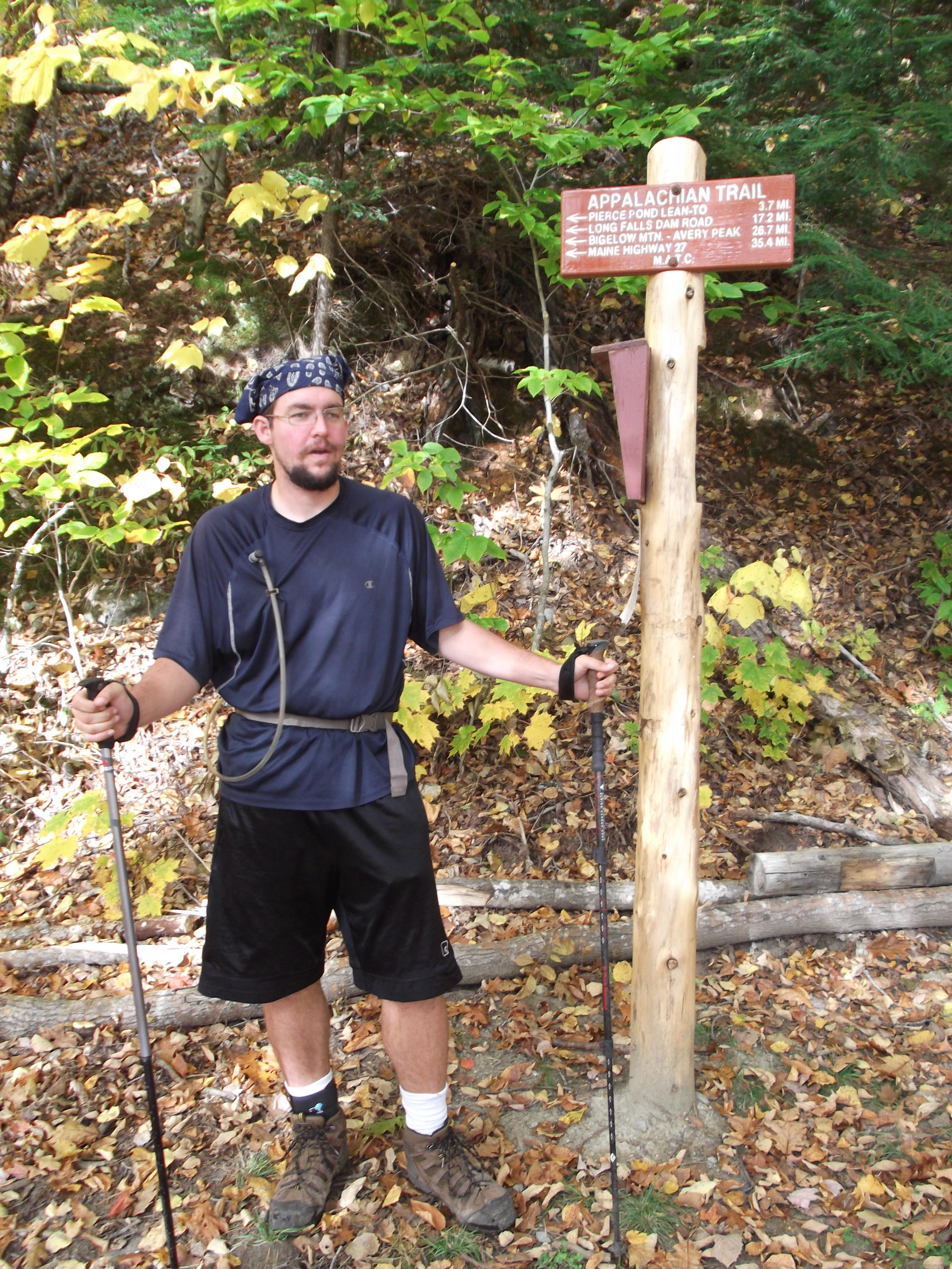
Then, of course, there was the convenience station (the only store left in tiny Monson) for a fuel canister and some small snacks. And to the post office, where no package had arrived for me. And then, it was finding the trail (with some help) where the preparations for the trail gave us ample time to meet some new hikers. The most important we met here with respect to my next post was Angry Bird, donning an orange vest so as not to be mistaken for a moose to be shot, and his parents. He was just getting back after some time off trail nursing a leg injury of some sort.
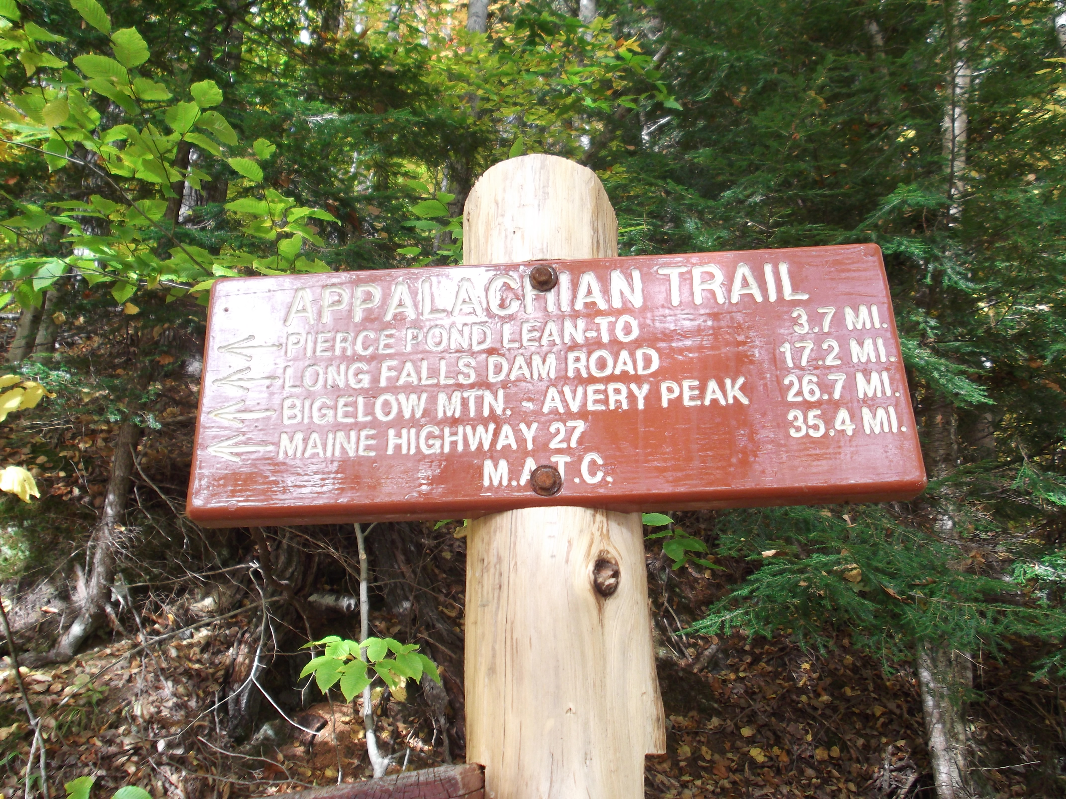
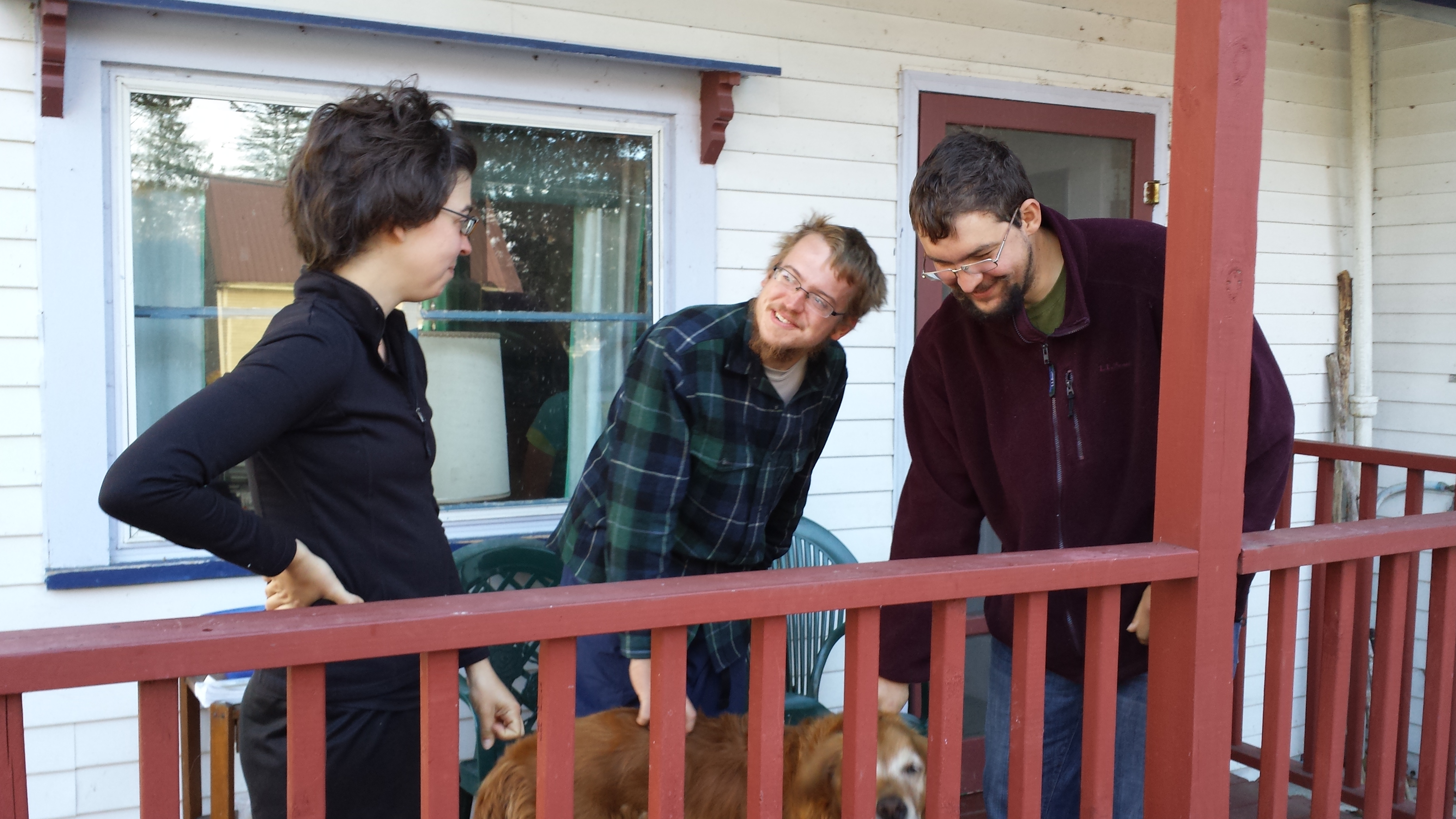
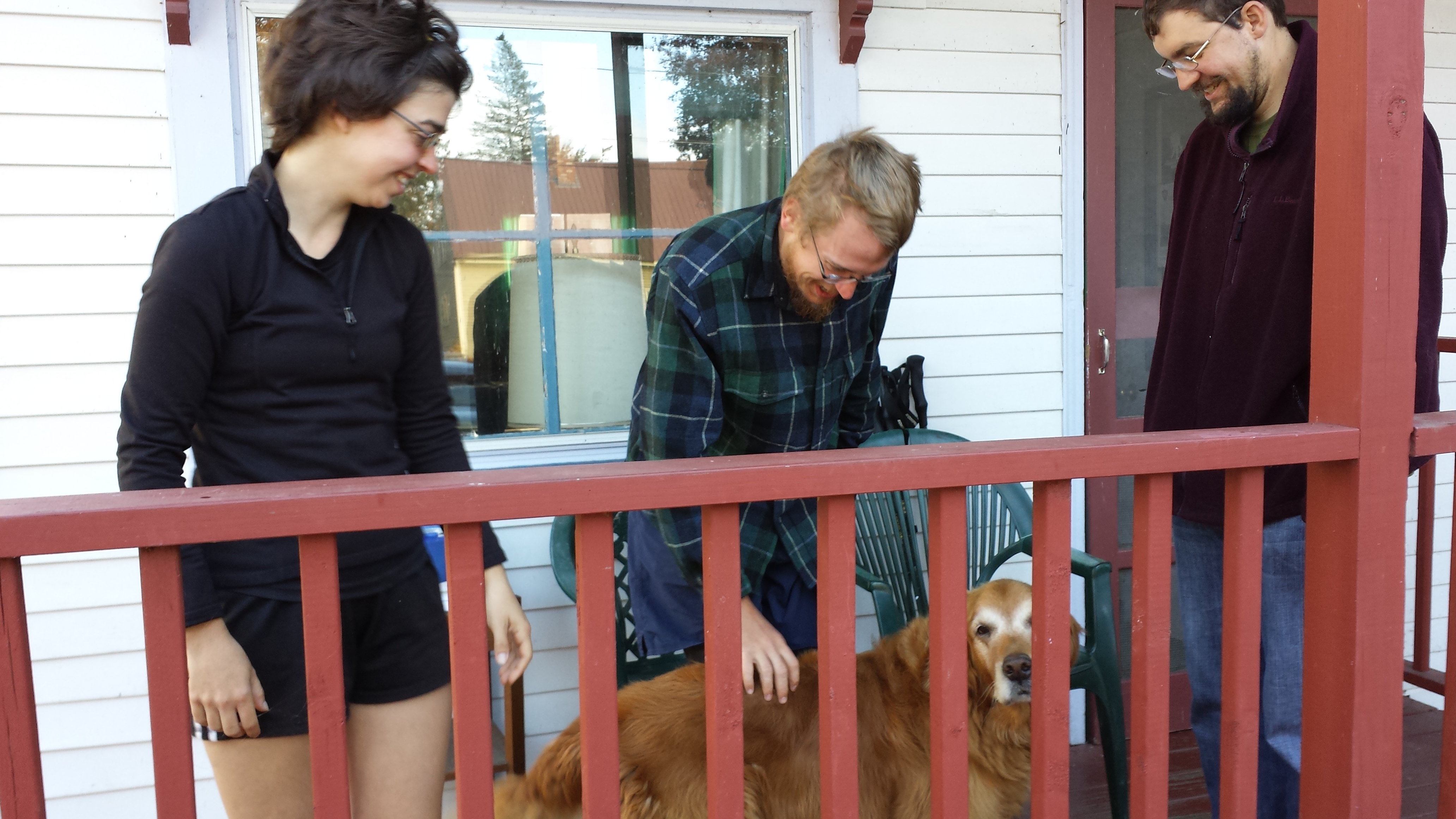
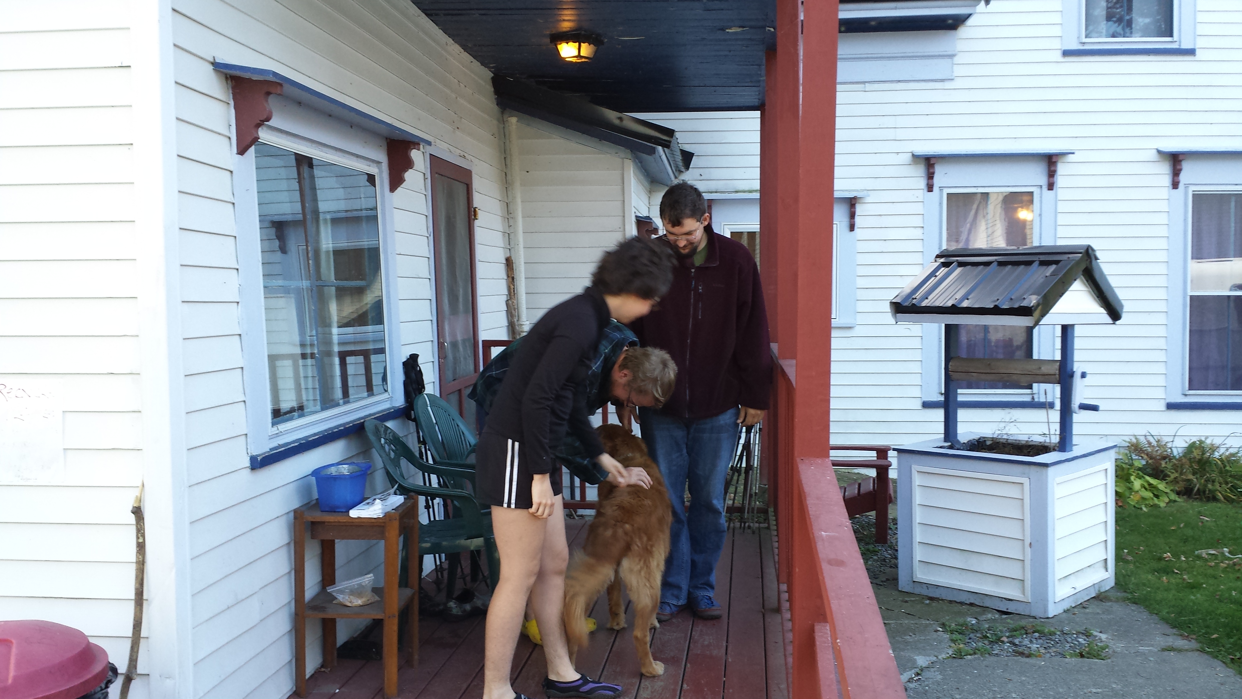
Lastly, of course, there were hugs, farewells, assurances of Copper’s capability to handle this section, and myriad pictures. Finally, I was allowed to enter the woods, where I stopped shortly to take pictures of a famous sign and some of my fellow hikers.
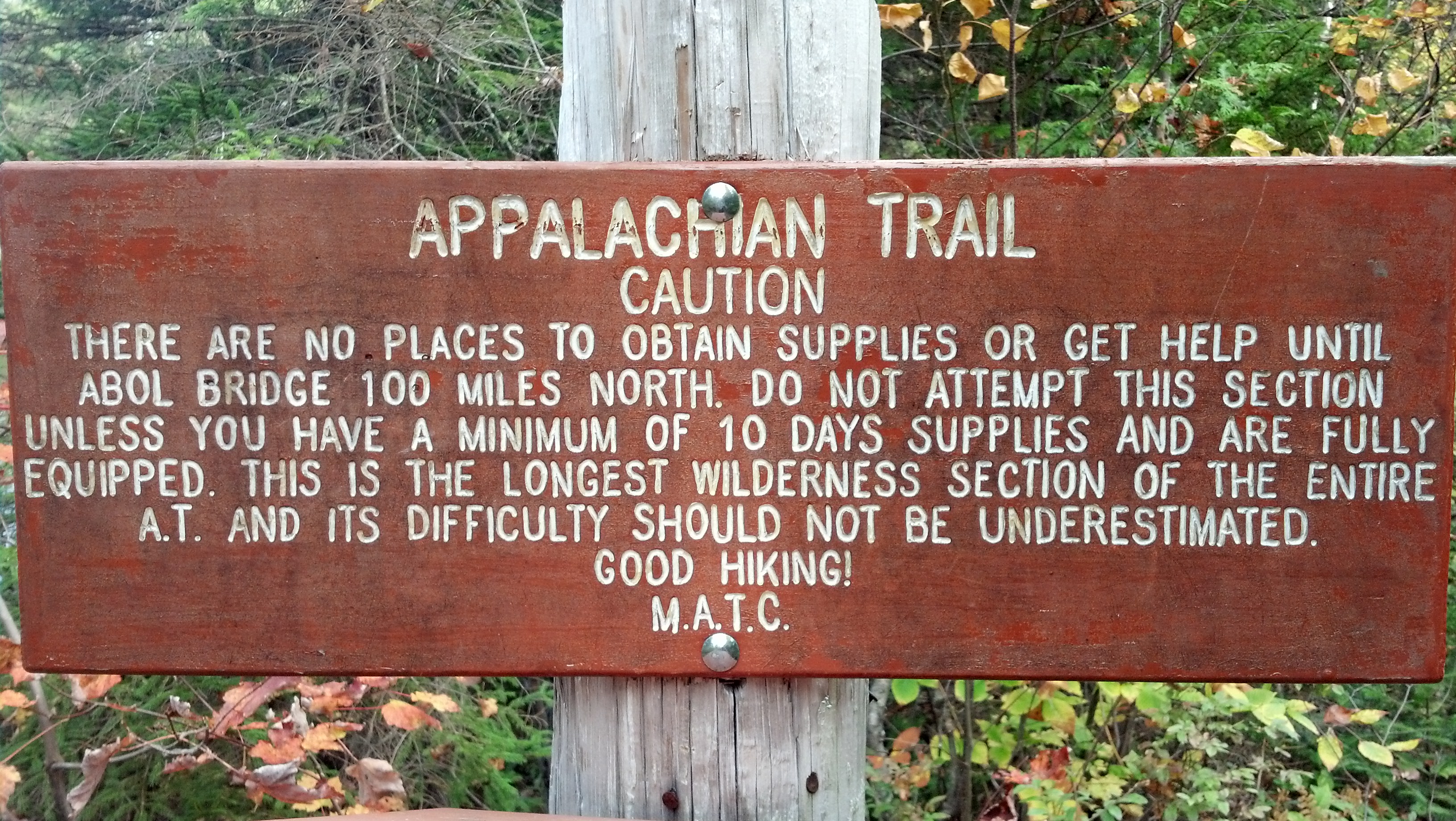
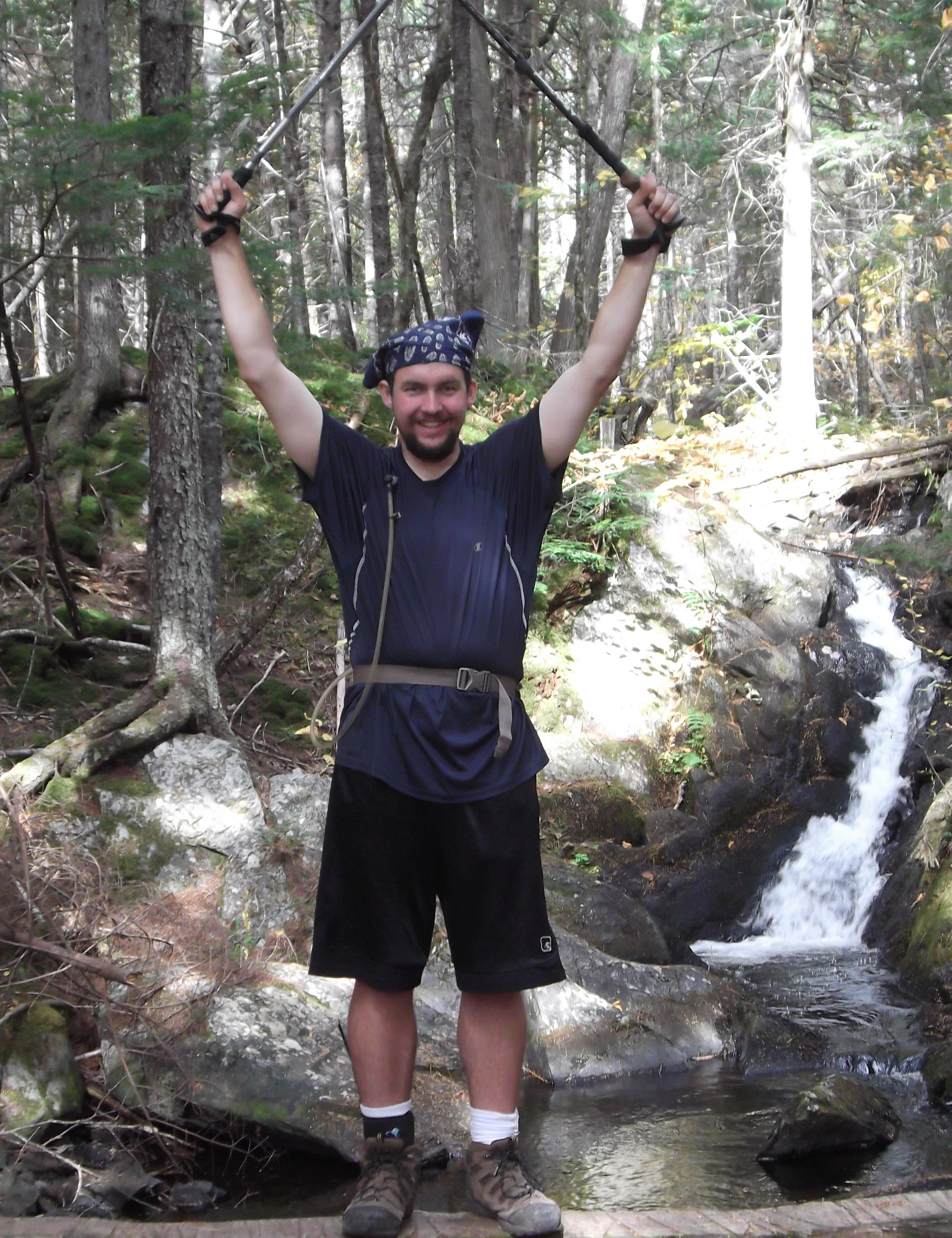
It was just around 10:45am on my first day. I was planning to be out for a week. It was a lot like my first day on the trail back in March: the weather seemed fine, I had a fully-loaded pack, and I expected to be out for quite a while. And I expected to take just as many photos. The differences were: there was no chance of snow or ice, Copper was with me, and I was in much, much better shape for it.
But you can find out all about that in the next piece of the story, right? Be prepared for some of my favorite pictures of the entire hike. Meanwhile, I’ve got another short post about the 2014 hikers coming up in a day or so. See you again soon!