Tag Archives: #snow

Humpin’ A Greasy Knob

The weather and the trail coming away from the Nolichucky and Erwin were both nice, if cold. What with how nice it was, I was surprised to see Pilgrim marching back south saying “I’ve been praying all morning, and I’m ending my hike here. God is telling me my true purpose is providing to trail magic to the other hikers.” I never met him before, but it’s always sad to hear a thru-hiker is quitting.

It was only around 5 miles to the first shelter, and we had no intention of staying there, but the sky opened up and a nice day turned rainy as we climbed the last stretch to it. A large group was there waiting out the rain and eating lunch, including a guy who was crazy enough to be carrying 60 lbs. up the trail, a third his body weight! But the only one who stuck around when it stopped was Crow, a Hawaiian guy who was “taking the day off” by only walking to the first shelter and spending the night there. One interesting thing about this shelter was a hiking challenge inscribed on it with several rules, but the gist being that two hikers sharing a pack must leave no earlier than 5pm from the shelter to go to Rocky’s pizza in Erwin, order 2 large pizzas upon arriving, and bring them and a 12-pack of beer back to the shelter before dark. Clearly a challenge for summertime.

Continue reading

Snowblazin’

Clay, who, with his wife Karla, played spades with me and Katfish my last night at Hemlock Hollow, taught me how to make panoramic pictures with my phone that night, so this post will be full of them. Hope they fit on your screens.

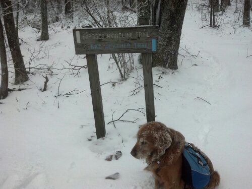
I woke up early that next morning and got my coffee and breakfast, settled up, and packed. Around 9:30, I got a free ride to the trailhead. It hadn’t been snowing too long, as there was only around an inch on the ground. For the first couple of miles, the only footprints were those made by me and Copper until we were passed by Zippy and Ditto, who had spent the night at the last shelter before the gap. I caught up to them at Little Laurel Shelter and we chatted over lunch. I told them I’d be pushing on to Jerry Cabin Shelter that night, and they made noises about doing the same. We also discussed the upcoming decision of whether to take the trail along the exposed ridge the AT follows over Fireskald Mountain, or to take the Bad Weather bypass trail because of the snowstorm. I knew I would be staying off that ridge, but apparently I was the only one who avoided it, because I was snowblazing the bad weather trail (or Packgrabber Trail, as it should be called because of all the low-hanging laurels I had to duckwalk under) when I got to it.

image

Continue reading

Mom’s Trail Magic

My mom and her friend Renea were expecting to meet me in Hot Springs two days after I arrived at Standing Bear, with four mountains and some thirty-odd miles between the two, so I got up as early as I could and ate a nuked sausage, egg, and cheese croissant with the orange I had been gifted the night before and a juice box. It took quite a while to get everything squared away and make a plan, including climbing a hill to get enough cell service to discuss plans for Hot Springs. I figured I could hike all the way if I could make it to Roaring Fork Shelter by nightfall. Of course, that meant climbing two balds that very same day. I grabbed a can of Vienna Sausage and an Oatmeal Creme Pie for lunch on the trail, heaved my pack onto my shoulders, and set off down the road.

The first task of the day was to climb Snowbird, which started with a very steep climb right up the side of a hill, and then slowly leveled off into a gradual two mile climb. Altogether, I rose around 1500ft. in two miles. When I got to the top I was surprised to see an FAA radar station.

Continue reading

Shake-Out Trip with Steph and Leighton

The morning started with a huge scrambled egg and grits breakfast courtesy of my mom, and then a scramble for me to get some unpacked stuff put together.

399414_10200765858135699_1791738198_n

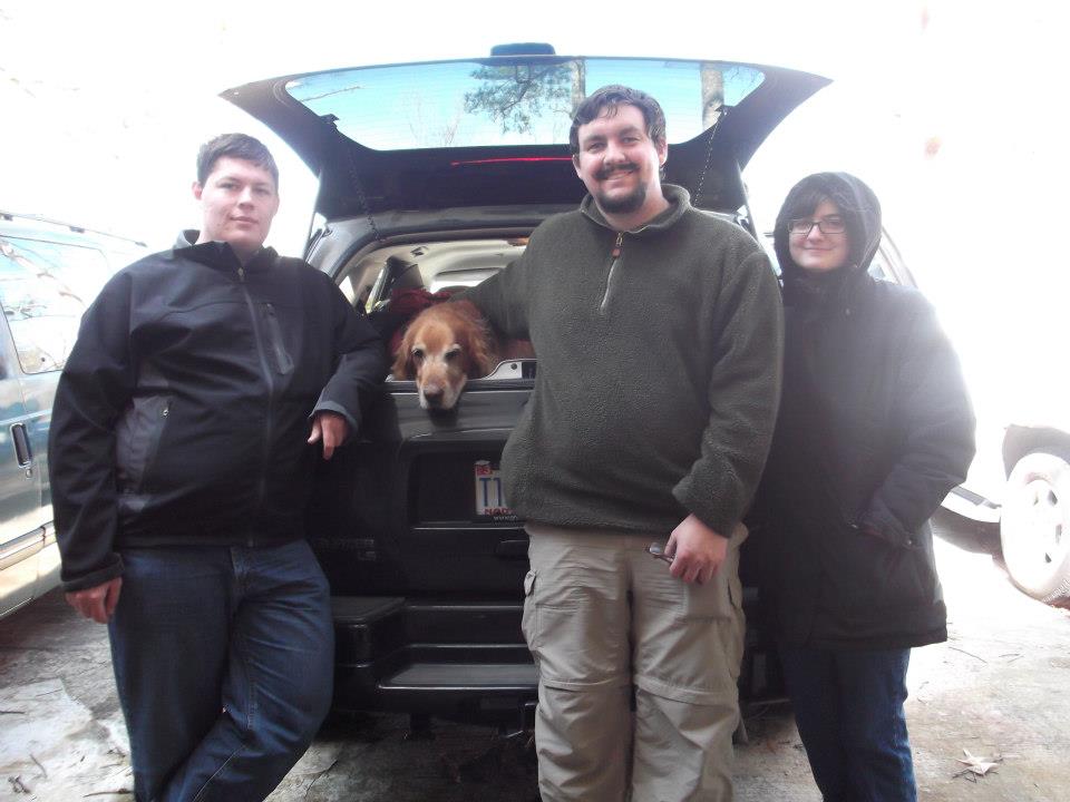
We were in high spirits for the two-and-a-half hour drive to the Cohutta Wilderness, with all kinds of different music playing the whole way and leftover grapes and cupcakes from the party to fuel us. We wanted to get on the trail by around 2pm, but the roads to our intended trailhead were slabs of ice, for which our 2WD Trailblazer was no match. A helpful couple who had just finished pulling someone out of a ditch told us how we could get into the Jacks River area without going over the mountain and led us halfway there. I navigated the rest of the way via the trail maps in Backcountry Navigator. We wound up starting from the Wilson Creek trailhead closer to 4:30pm, which was, thankfully, only an hour from Brey Fields and all its wonderful campsites along the Conasauga River. By 5pm, we were saddled up, adjusted, and headed off into a Winter Wonderland coated in a blanket of newfallen snow.

Continue reading