
144 miles left to go in Maine and a plan to do it in 9 days. That’s an average of 16 miles a day. In Maine. Crazy right? The are three reasons that is even imaginable (let alone possible), any two of which would not be sufficient to put such a plan on the radar:
- I’d nearly hiked 2000 miles already, and was in the best hiking shape of my life.
- Copper wouldn’t be with me for any of it.
- I could slackpack most of it, and sleep in a proper bed most nights.
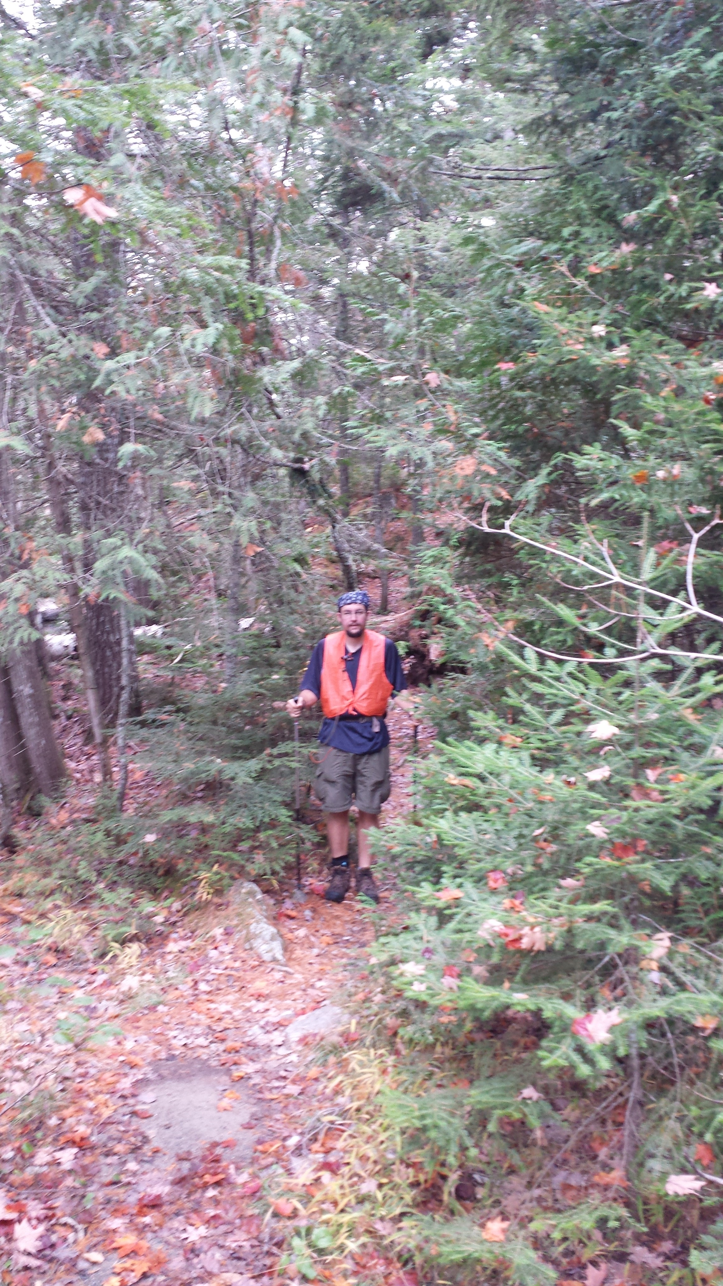
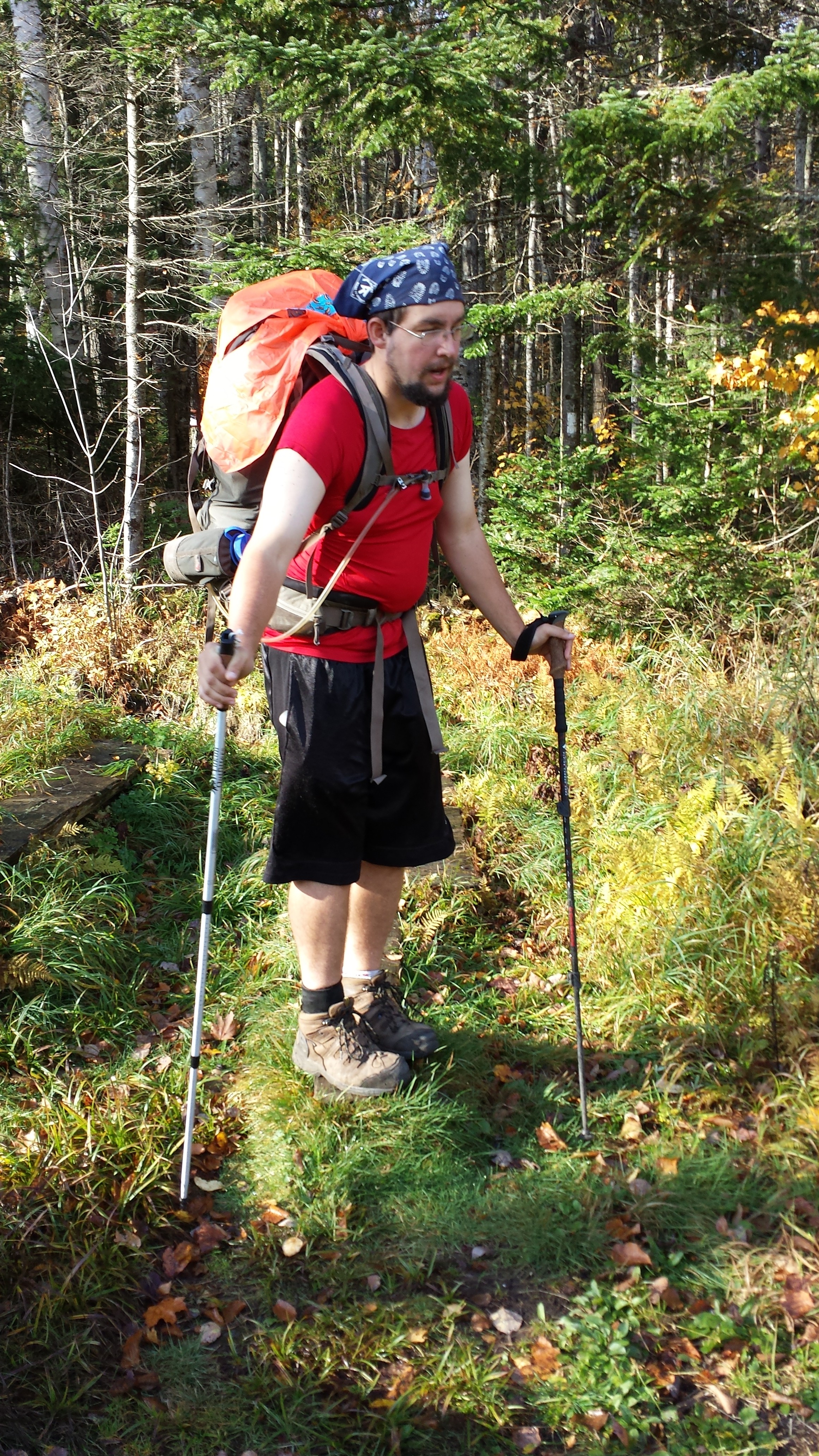
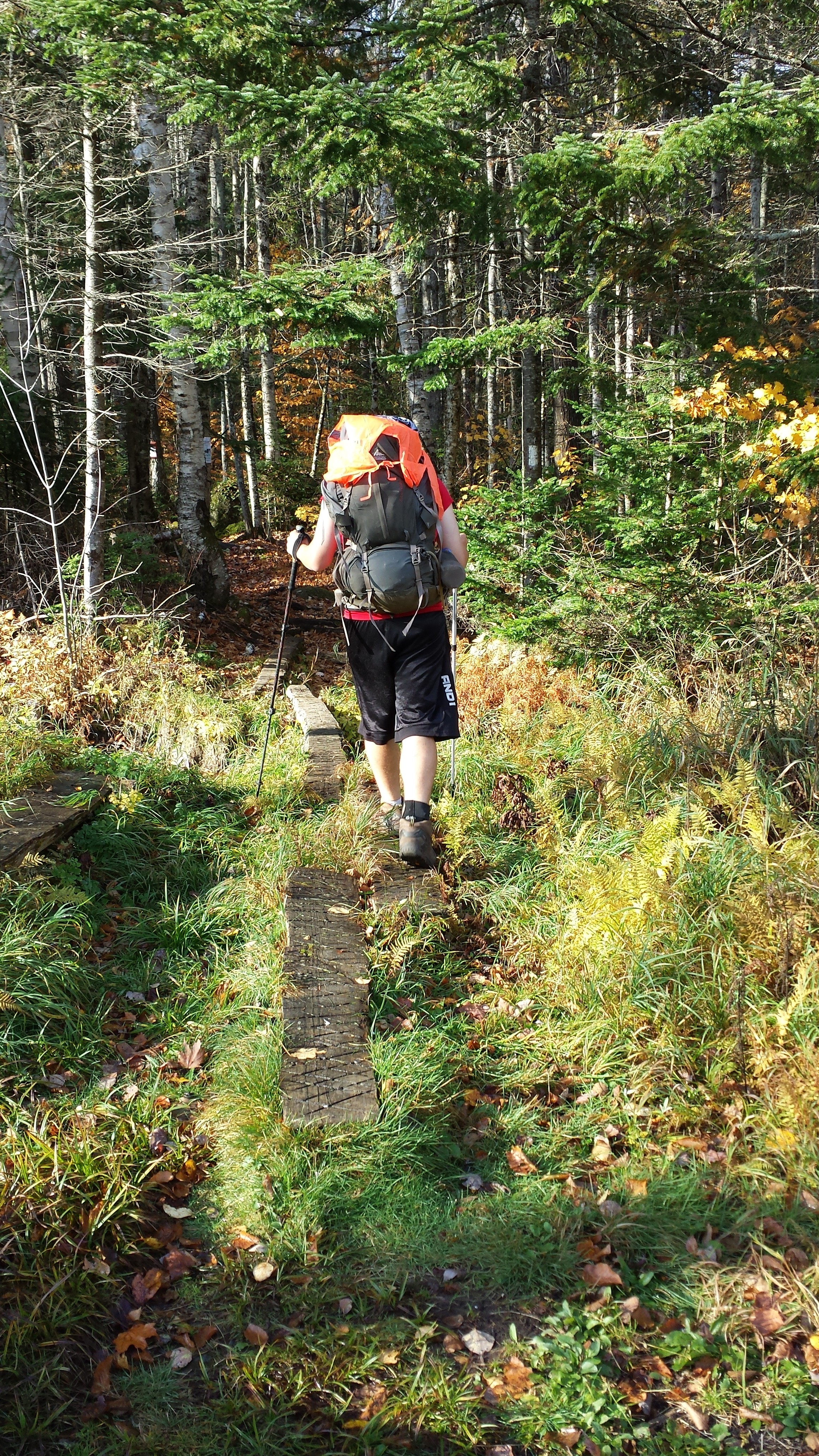
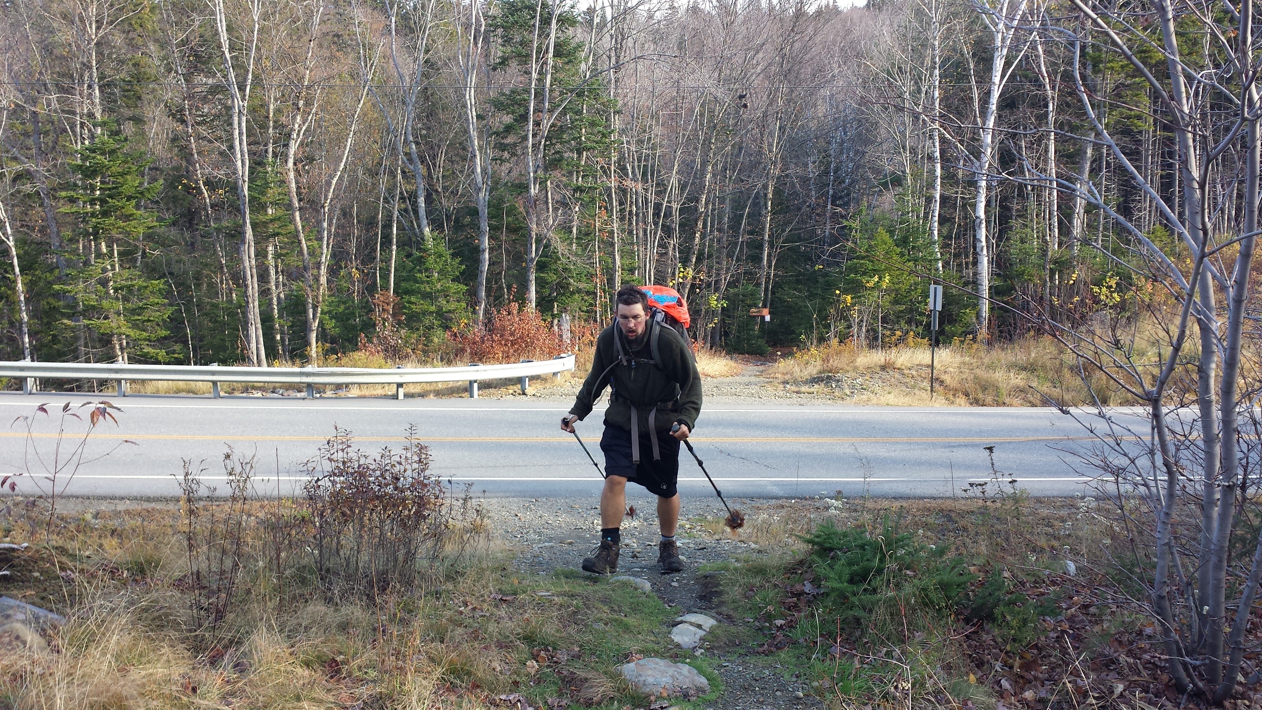
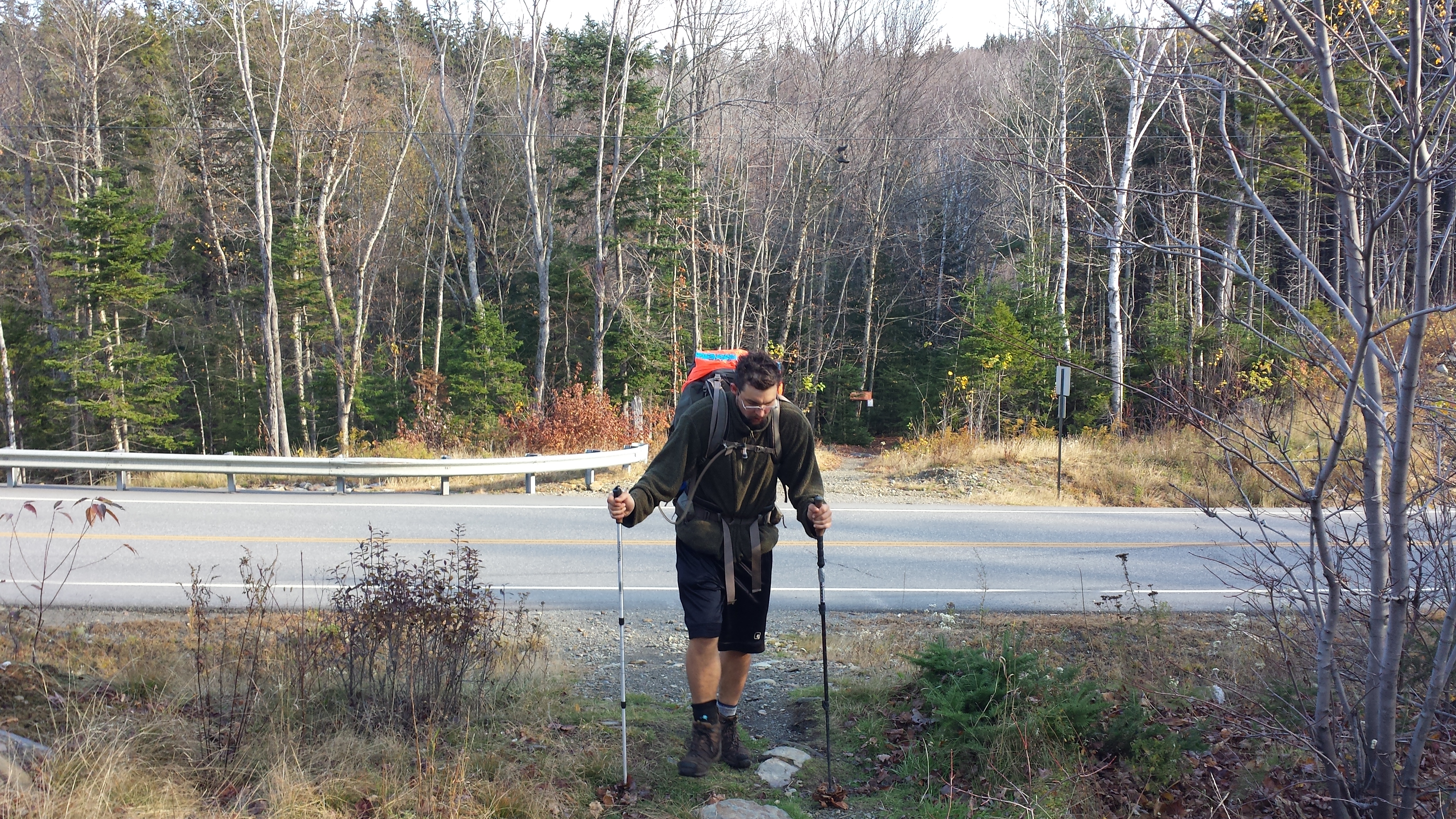
Attempting 16 mile days every day for 9 days straight while climbing the steepest hills on the A.T. with a full pack, or with a dog, or on untested legs would be something only attempted by crazy professional hikers, crazy people, or Renea. But in my very particular situation, it seemed doable, and doing it is the subject of this post. The first section would have to be an overnight one, because the second rental-SUV-accessible road between Monson and Caratunk was the very logging road I’d slackpacked from when last in Caratunk, 31.5 miles from Monson. Even slackpacking, there’s no way to do that in a day. The first was the Shirley-Blanchard Rd. just 6 miles in, and what would I do with the rest of my day if I only hiked for two hours? So, I’d have to break the distance roughly in half and sleep in the woods in the middle of it. Which is why I’m carrying a pack.
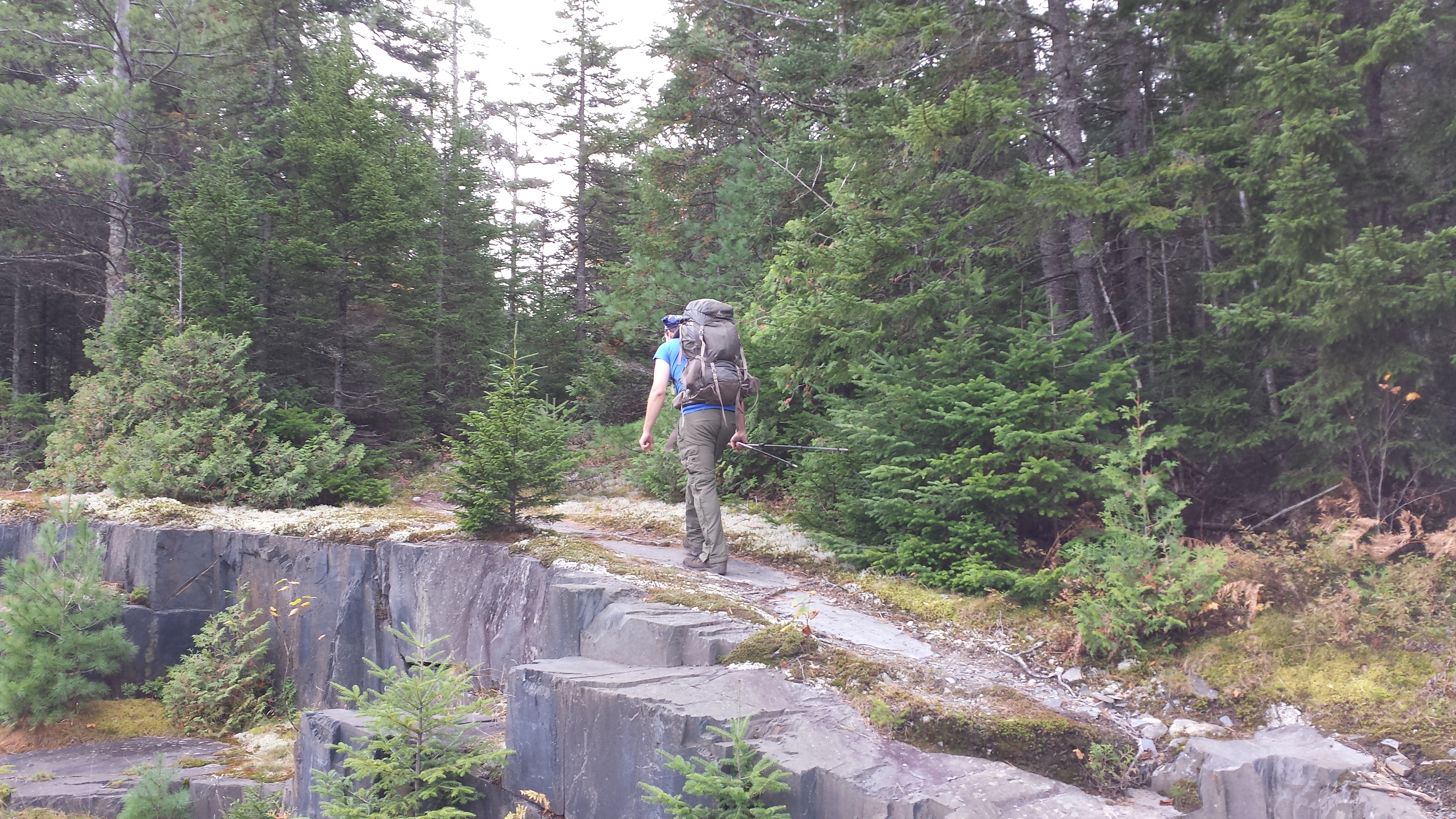
However, I have no doubt I can make a shelter to sleep in, and I need only carry one supper, one breakfast, two lunches, and two days of snacks. While this adds up to more food than you might think it would, it left my pack at approximately 25% less weight than I had carried into the Hundred Mile Wilderness. I put in my headphones and entered the woods just after 10AM.
The trail was uninteresting for the first 5.5 miles, being mostly level and looking a lot like everything I’d been seeing in Maine up until then. Halfway through this section, I came down a long gentle slope to where the side trail that branches off to go to the main part of Monson. It used to be the way the A.T. went originally, before it was diverted to avoid a long roadwalk getting into the Hundred Mile Wilderness. Many northbounders take this trail to avoid a 4 mile hitchhike into Monson when they just HAVE TO BE in the last trail town on the A.T. RIGHT NOW. But I was a southbounder now, flaunting my southbounding ways.
I rejoined the historic A.T., the trail originally blazed by Helon Taylor himself. Finally, around noonish, I crossed the Shirley-Blanchard Road and dropped down to the banks of the east branch of the Piscataquis. It was wide and shallow at the crossing, but there was no rock-hop route across, so I stopped to take off my boots and ankle braces, and put on my camp shoes. I eyed the river while eating a few snacks, not eager to get wet. I hung my boots from my neck and stuffed my pant legs in my pockets, and crossed as quickly as possible. It was pretty cold. On the other side, I got myself put back together quickly, because I’d barely started and had 11 more miles to go before I slept. It looked like a fairly easy section, but it was already afternoon and I had learned not to trust the profile on principle. Almost nothing in Maine is easy. The weather was clear and beautiful, but heck, I didn’t trust it either.
Somewhere in the next two miles, working my way along the narrow strip between a steep hill and the river, I passed a family headed North. It was the same one I’d seen twice before, once climbing up Webster Cliffs, and once in Mahoosuc Notch. The boy, his girl, and his parents. I told them they’d be getting their feet wet pretty soon, and asked whether they thought they’d make Katahdin. They seemed to have it well in hand, as long as it didn’t snow within the week. Neither they nor I was willing to stand still very long, so it was only a half-hour more before I was at Horseshoe Canyon Lean-To, stopping for lunch.
Horseshoe Canyon has a nice location right next to a river, but it looks nothing like the traditional Maine Lean-To; it’s bigger, longer, lower, more headroom. I didn’t stay but a minute. I had maybe five hours of sunlight in which to do nine miles. I did the next three miles, which were basically flat and lacking in any features worthy of note, without paying attention to them. I was wrapped up in an audiobook. When I arrived at the shore of the West Branch of the Piscataquis, it was getting fairly close its conclusion, and I felt like I was too. I sat down on a damp tree to take off my boots and braces, and didn’t get up for ten minutes. I just stared ahead, listened to the story, ate snacks. The crossing, even if it were the last crossing in Maine, didn’t look like a whole lot of fun. The A.T. Guide describes it as “normally knee-deep” and it looked like that’s what I’d be seeing of it as well. The beautiful skies of the morning had been replaced by a sea of white cloud, dimming the sun which was already headed toward the horizon. I saw on the map I had another six miles, and eventually kicked myself back into gear. I hadn’t brought a tent with me to save weight, so stopping anywhere short of the shorter just wasn’t a possibility, especially if there were a potential for rain.
I vividly remember this crossing. It went in three sections as I crossed from one muddy, grass-covered island to another. I stopped on the near side to remove my boots and socks, and sat there long enough to finish the audiobook I was listening to. For the second time, maybe. But I had been near the end anyway, and it didn’t take me long to get back to business. It was the deepest, longest, and swiftest crossing of all the fords in Maine, and my feet had lost most of their feeling by the time I reached the other side.
I put my sweaty socks and camp shoes out in what was left of the sun while I toweled off my feet with my bandanna and tried to coax them to warm up and dry out a bit before forcing them back into socks and ankle braces. The sun had basically gone by the time I reached the Bald Mountain (gravel) Road two miles later. I got out my lamp and used it to memorize the last few landmarks on the profile map so I could stoke myself up as I reached them: the Bald Mountain Stream crossing and two unnamed gravel roads. I crossed the stream less than an hour later. Two more miles to go I told myself, and less than half a mile to the next gravel road.
I crossed a gravel road fifteen minutes later. 1.5 miles to go, I cajoled myself, and just a half mile to the next gravel road! Fifteen minutes went by. No gravel road. Another fifteen. Still nothing. I worried that I’d taken a wrong turn in the dark, but there were the reassuring white blazes on the trees. Perhaps someone had decided to lay some extra trail since the map was made? Fifteen minutes later, a fifteen minutes during which I was practically counting my plodding, late-night footsteps, I looked up and saw the sign for Moxie Bald Mountain Lean-To. Okay! But where was the other gravel road? Was it even there? Had both of my maps lied? Or was it just hard to see in the dark? I didn’t care much! I was happy to be in camp.
I had the place to myself. I cooked myself a Mountain House meal, set out my camp shoes to get dry, rolled out my mat and sleeping bag, and went to sleep in five minutes. (Yes, I had Mountain House meals for most the Hundred Mile Wilderness and any time I was in the woods for the rest of Maine too. One of the perks of trail angel parents. Jealous?)
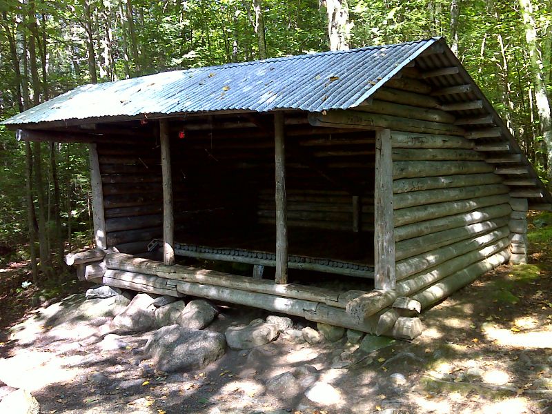
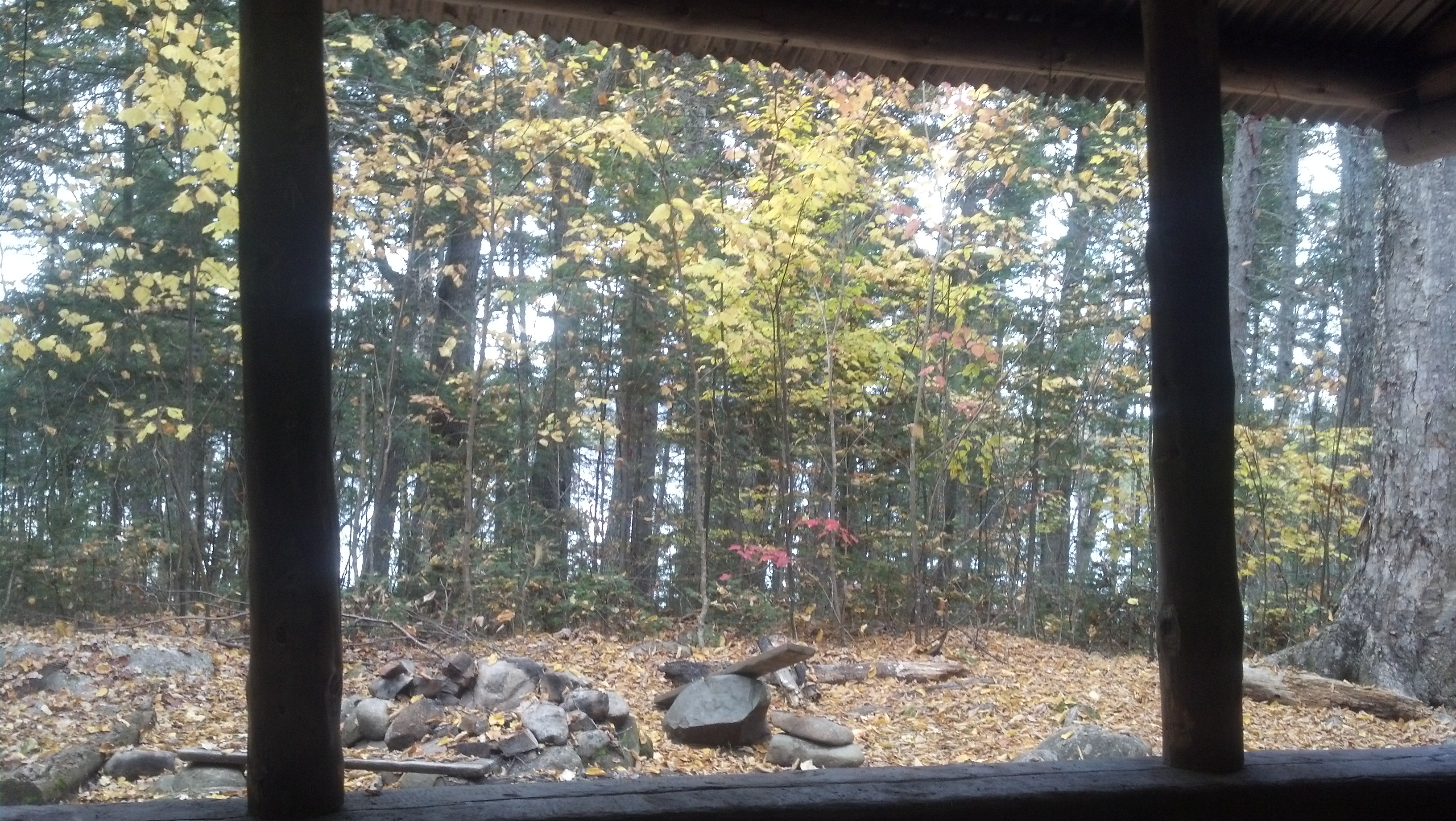
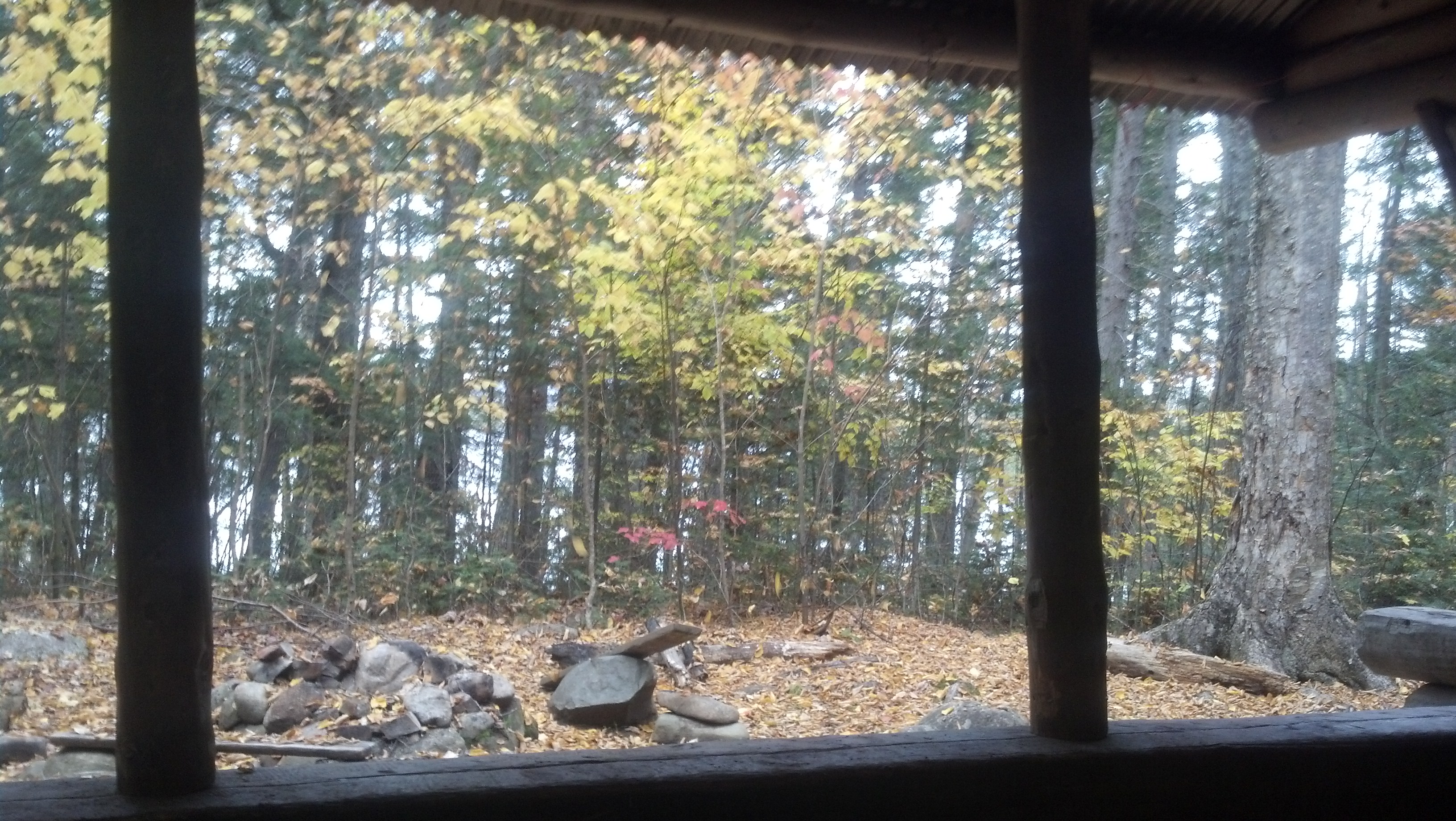
Moxie Bald Mountain Lean-To is one of the old ones, modified with a tin roof and a slab built over the baseball bat floor. Picture by PJ Wetzel.
In the morning, I got up with the sun and got ready and out of camp by 9am. I didn’t exactly have much packing up to do, hiking as light as I was. I immediately started climbing Moxie Bald Mountain, which was a very interesting climb. I thought the straight rock hard slab trail dividing a sea of moss lined by pines was very friendly for a Maine trail, but I couldn’t have been nearly as excited to climb it as Moxie had been. I had met her way back near the beginning of my trip near or in Damascus, but she’d beat me up to Maine by at least a month. She expressed her joy at climbing her eponymous mountain in the shelter logs with exclamation points.
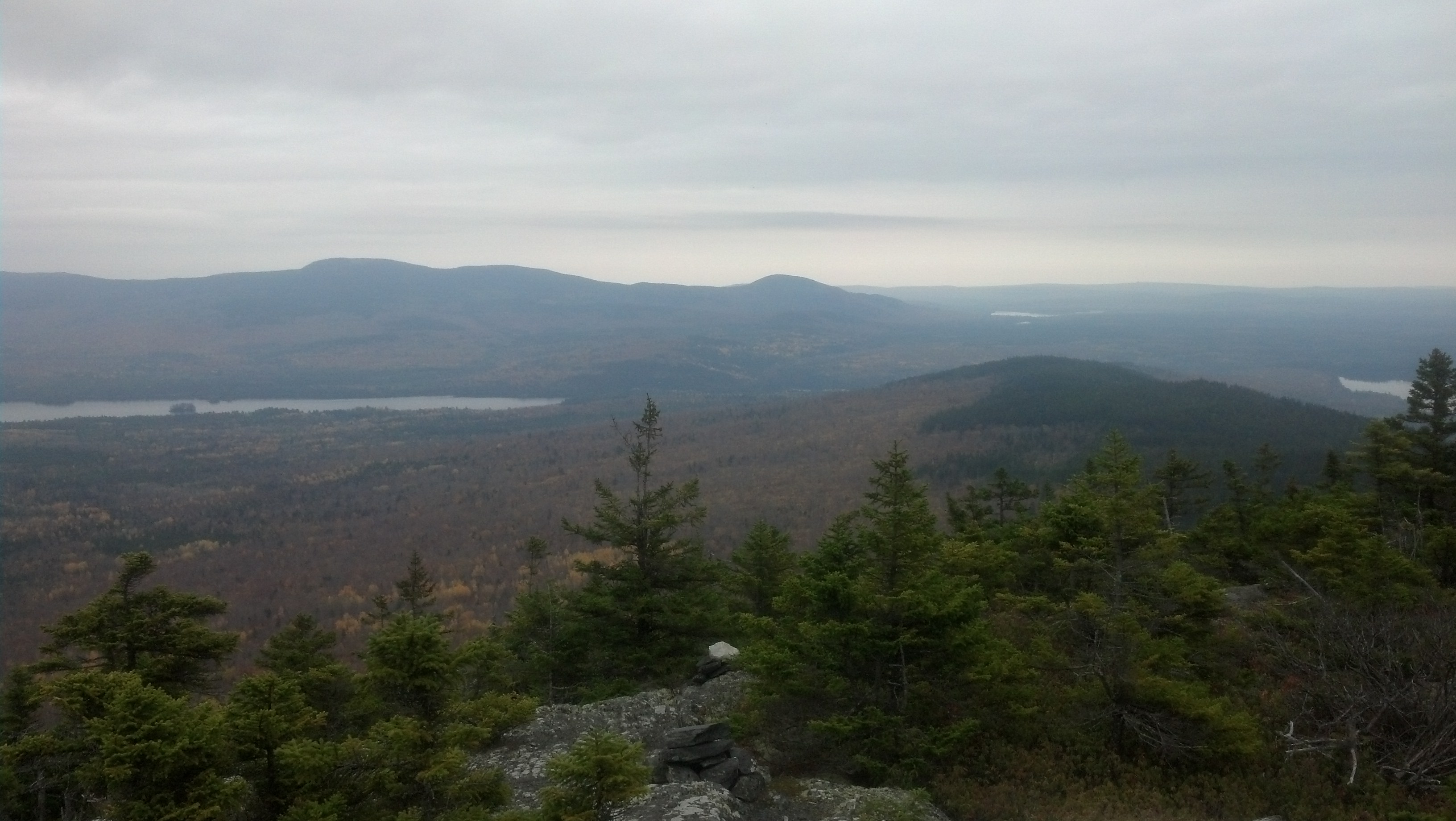
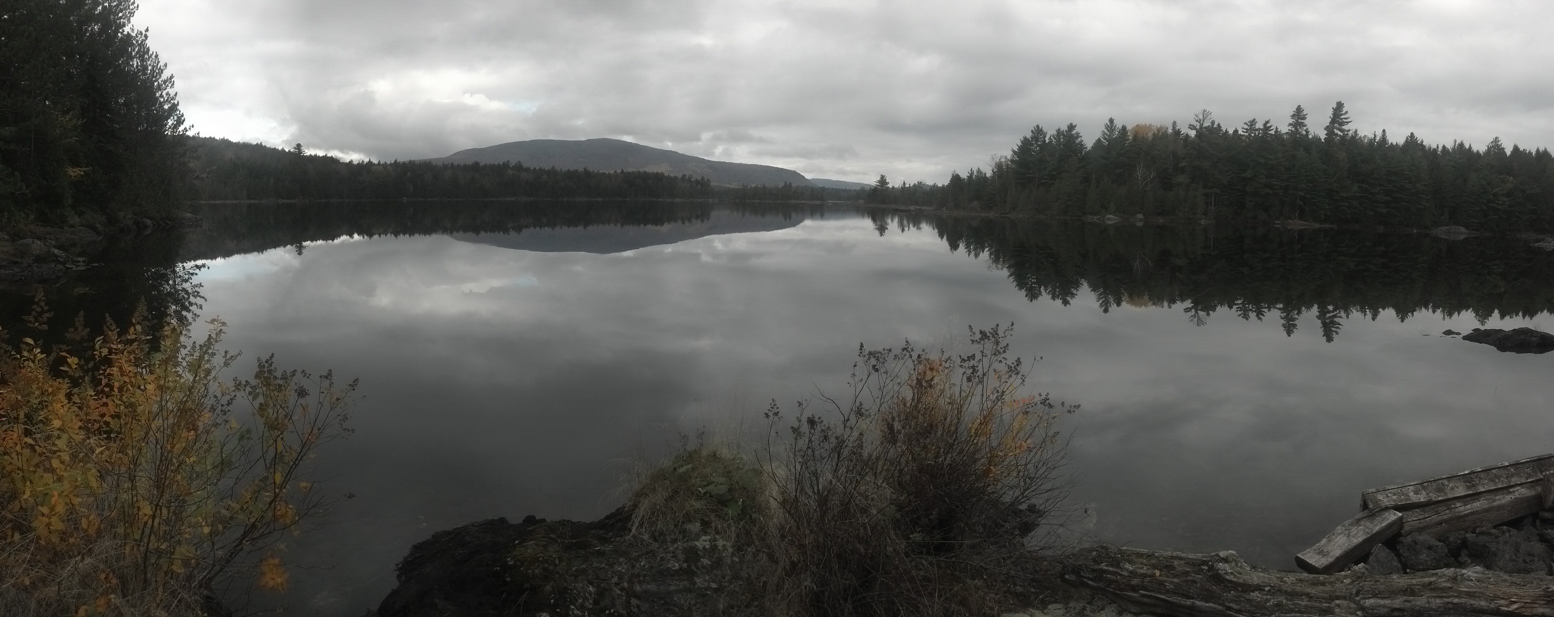
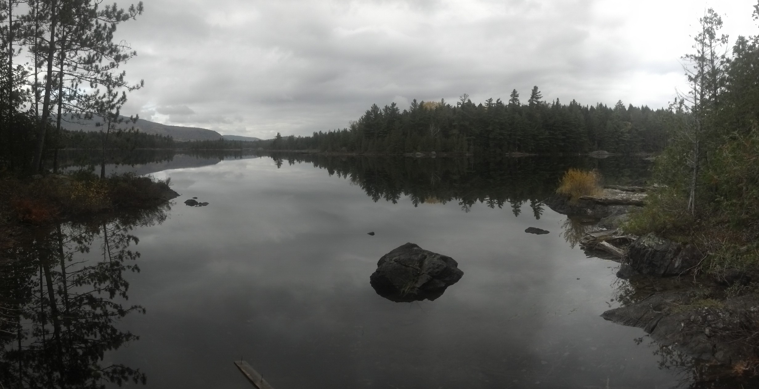
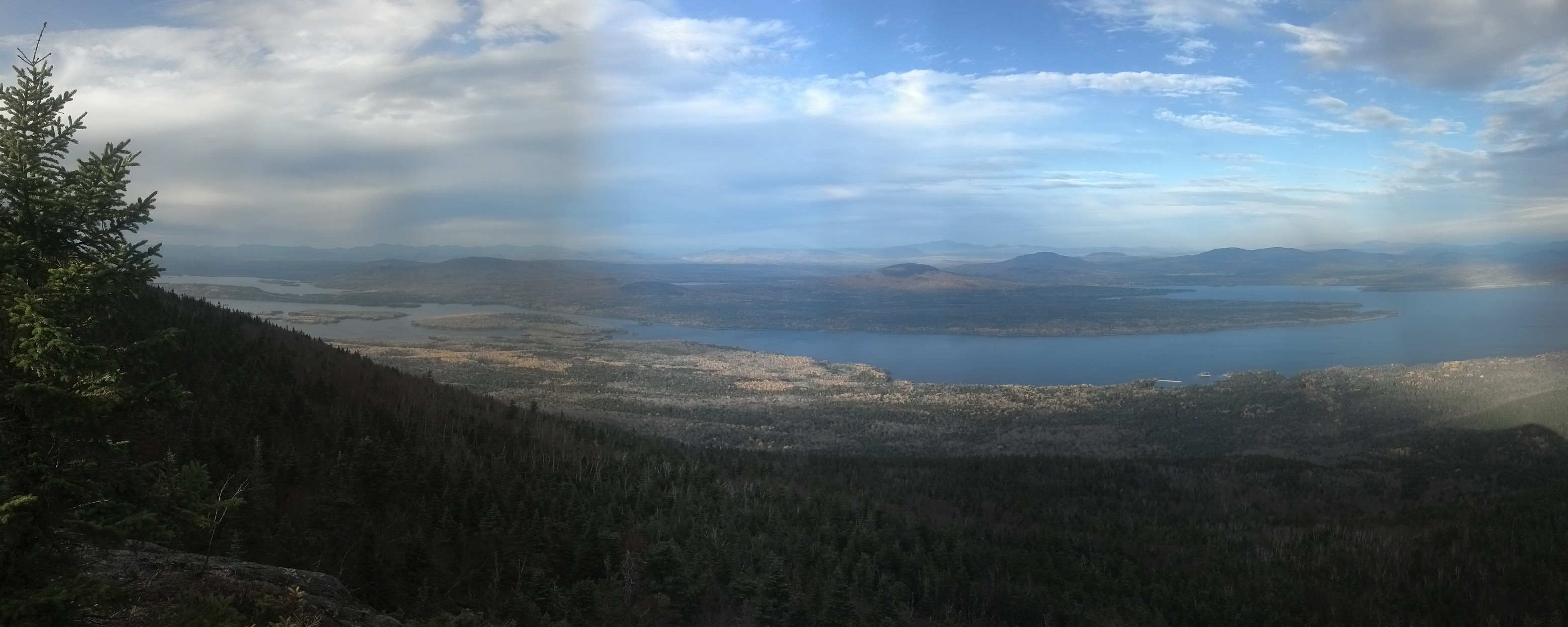
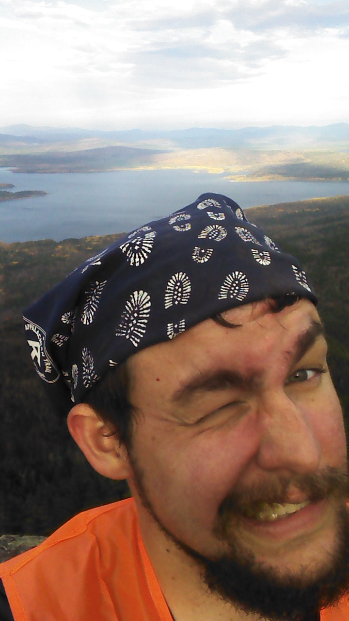
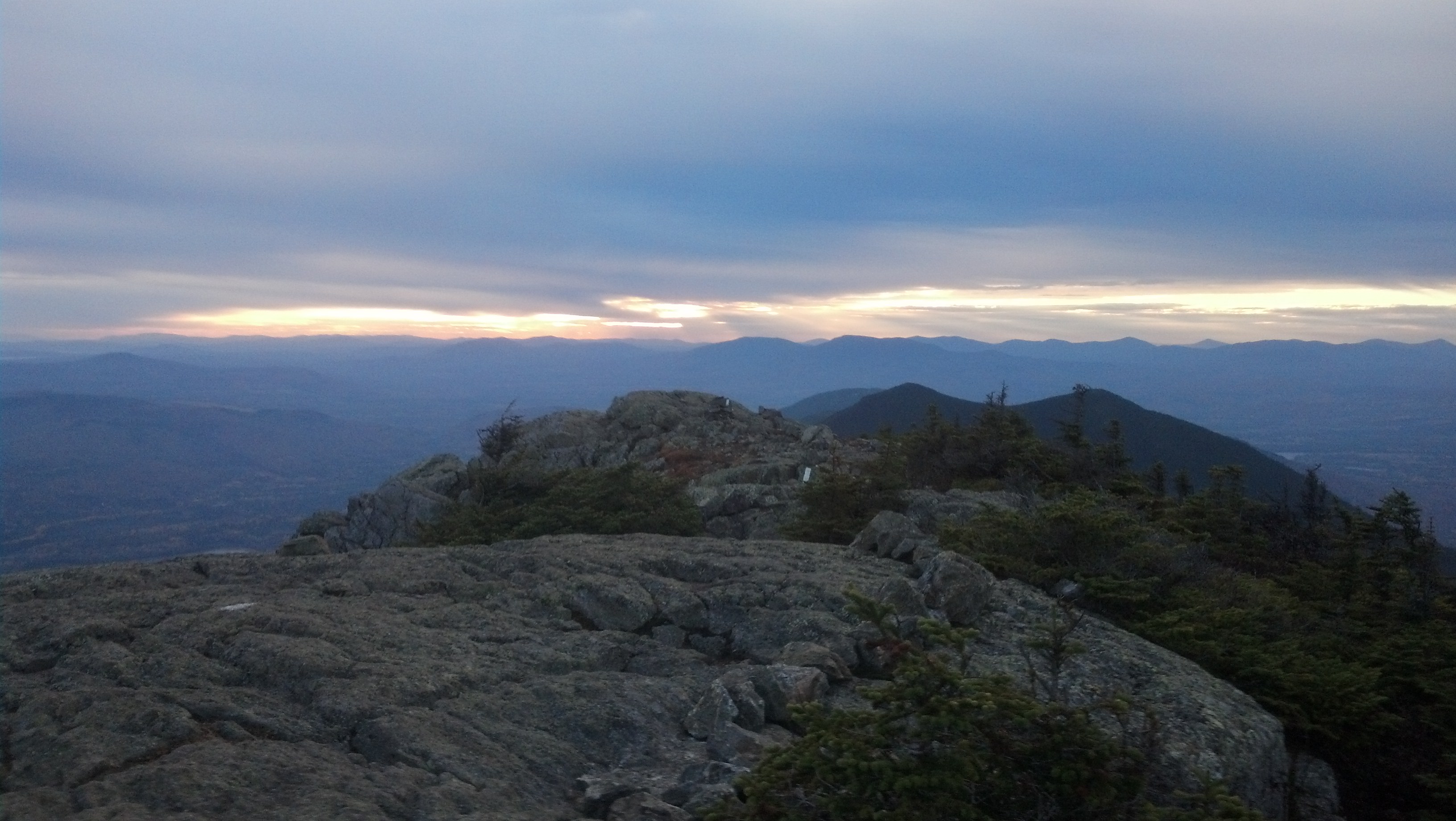
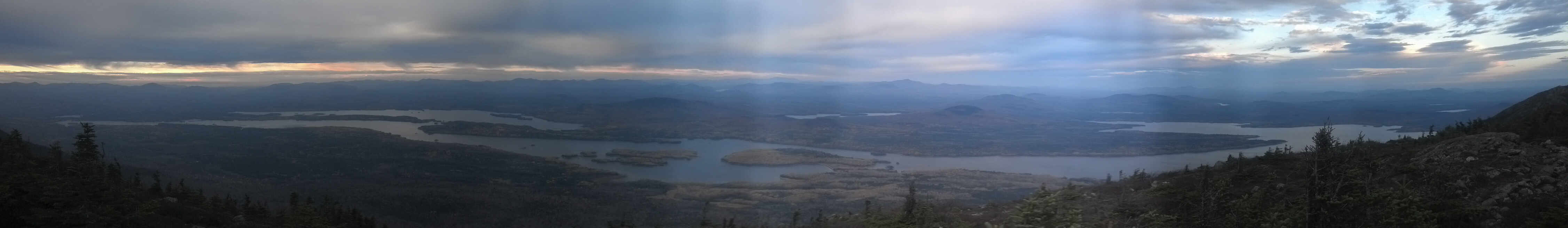
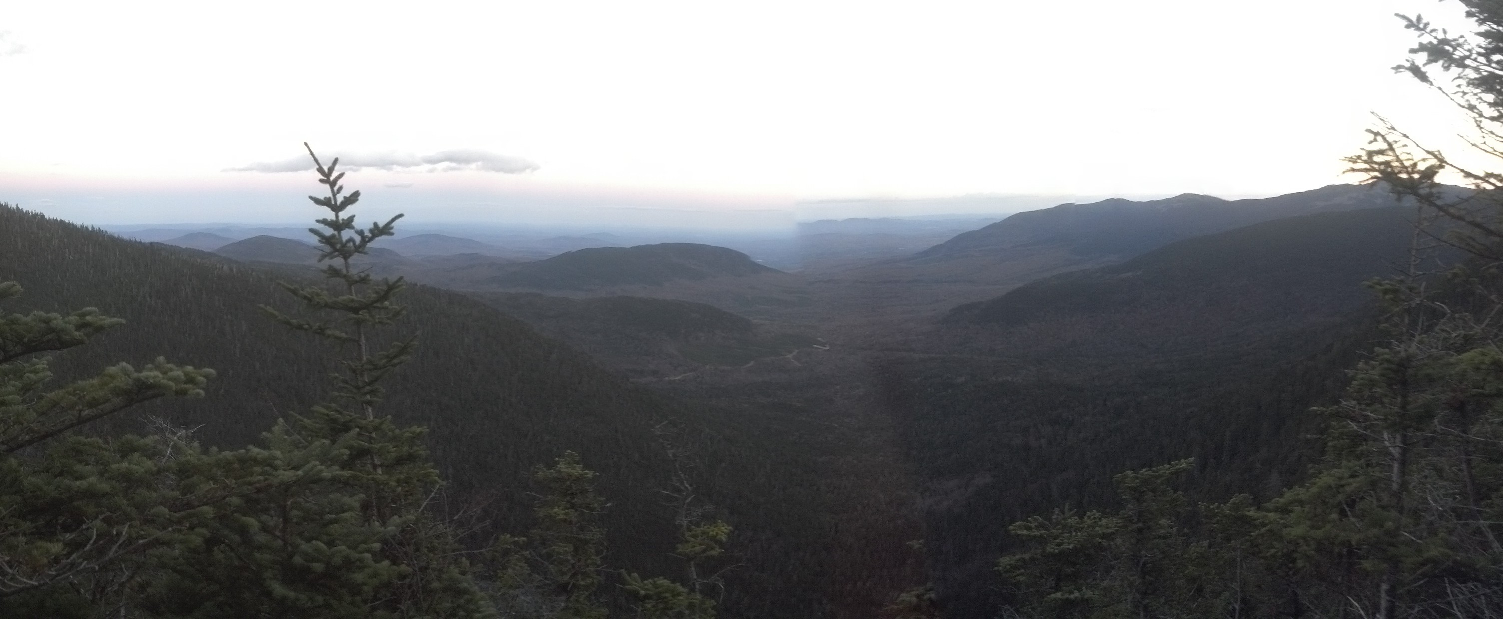
I reached the bald summit around 9:45am. It was a bit of a hazy day, but there was still somewhat of a view. Not that one could see much except the top of a sea of clouds and the very tops of mountains in the distance. And I could hear, somehow, heavy machinery working somewhere below me. Maybe a logging operation, maybe a construction project. 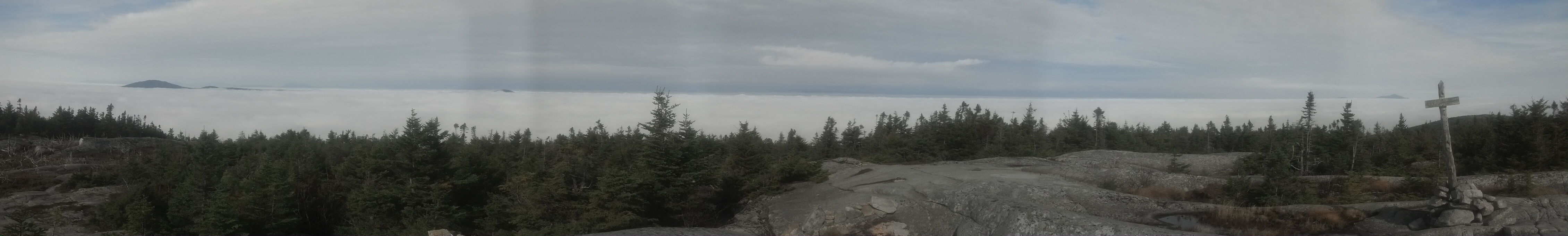
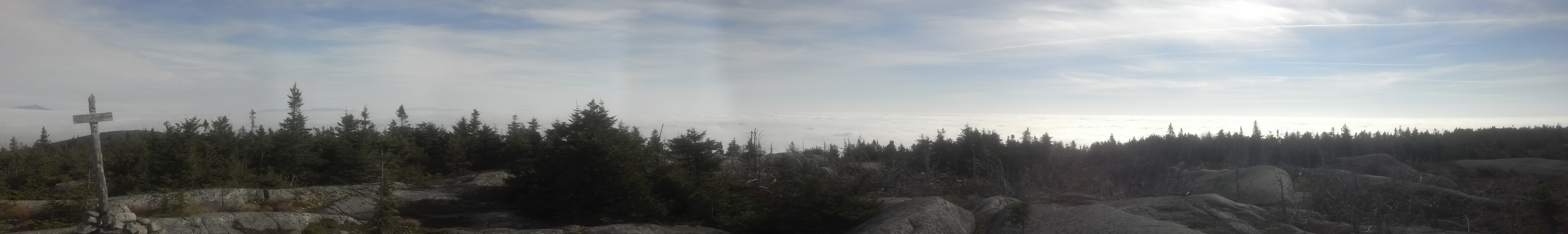

REAL ULTIMATE PANORAMA
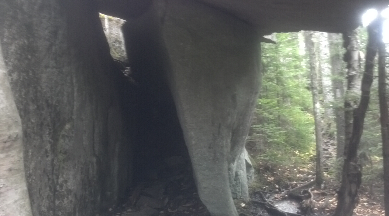
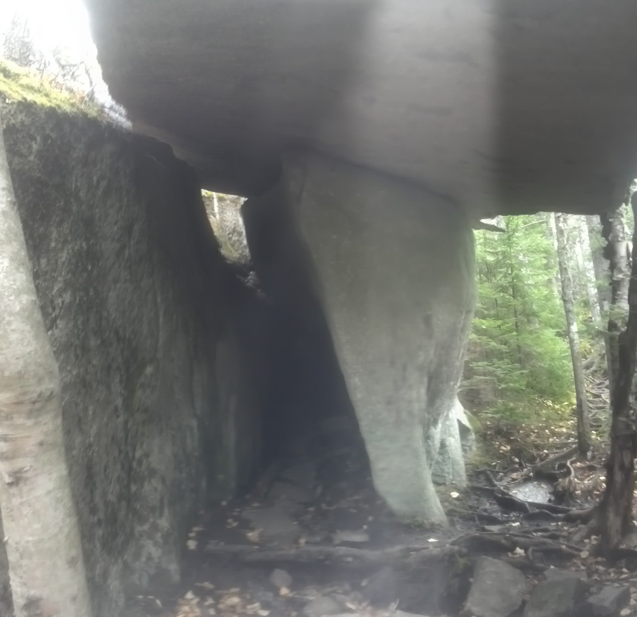
Just down the backside of this little peak, I came upon another wonder, not the first like it I’d see. Indeed, I had already missed one on the way down Katahdin (though I think I saw it the first time I climbed it years ago). It was one of those “caves” built out of slabs of rock which have, through time and erosion, separated themselves from the greater edifice of rock under the mountain. It’s impossible to miss because the trail requires you to walk right under it, and, in fact, seems to wind the trail around quite a bit to make it possible. As I stopped below it to try and catch as much of it as possible in a picture, I found myself wondering if it is striking enough that Solo would remember walking under it back in 2011. (Well, do you, DT?)
A mile and a half later I arrived at the turn-off for Bald Mountain Brook Lean-To. It wasn’t even 11am, far too early for lunch, but I’m pretty sure I stopped in anyway for a snack and a reading of the logs, and to just plain take off my pack and get off my feet for a minute. I reckoned I didn’t need to hurry overmuch. I only had eight and a half miles left in the day, and some six hours to do them in. But I left within a few minutes of arriving, and two miles later the trail spilled me out onto a road running beside Moxie Pond.
I have no idea how one would manage to access this place by car, but there is a road, and there is a single house, with a single dock. I can’t think of another occasion where the A.T. has a road walk adjacent to a lake, though the Hessian Lake in New York nearly qualifies, as you follow its shore on a sidewalk with thousands of vacationers and day-trippers, but that’s not a road, and that doesn’t feel like hiking. Somewhere in here, I lost radio reception, and gave up on searching for another radio station. The pond is boxed in by mountains on both sides. I wonder if the owners of the house can get a TV signal. I doubt it.
Soon after I passed the house, the trail turned back into the woods and immediately started climbing. Pleasant Pond Mountain is neither as steep nor as tall as Moxie Bald, but it certainly takes a lot longer to climb. It’s four miles to the top from the south side. By the time I reached the summit, it was already half past four, and I knew I needed to get a move on. I stayed just long enough to get a couple pictures of the view and get some ballast in my stomach before picking up the pace straight down the south side of the mountain. I was supposed to be back by five, and had another two miles to go.
The descent went by in a mad rush. I didn’t even feel like I had the time to spare to check out Pleasant Pond Lean-To. (I didn’t miss anything—it’s just like every other lean-to in Maine.) I don’t remember for certain exactly where it was, but instinct about my mood coming out of the woods that day tells me this is the section where I tried to cross a set of bog bridges which were in a puddle and partially submerged. In order to avoid getting my feet wet, I decided to jump from where one went underwater to the next one, but it turned out it was just a mirage or a floating board, and there was nothing to land on. One leg went into the puddle, which I was surprised to find was deeper than my thigh. I grabbed hold of the bog bridge as I fell and managed to hold on so that my pack weight didn’t drag me completely under the water and drown me. I have no idea how deep that puddle actually was, but it was at least deep enough that my foot never touched the skeletons of drowned hikers that may be lying at the bottom!
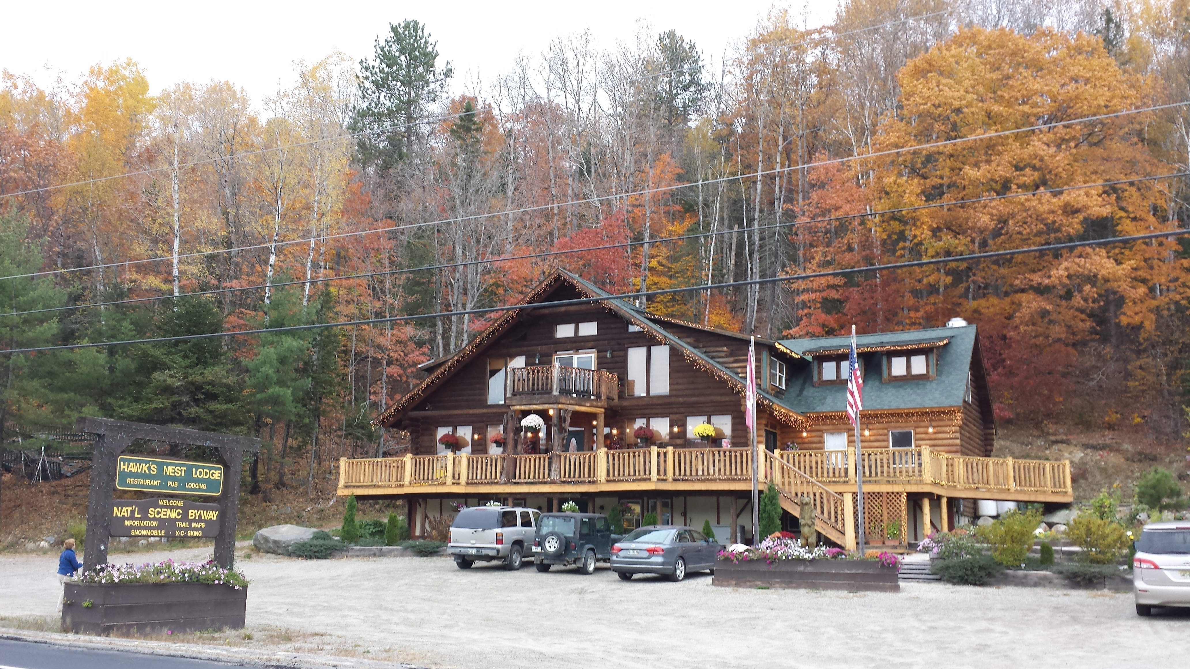
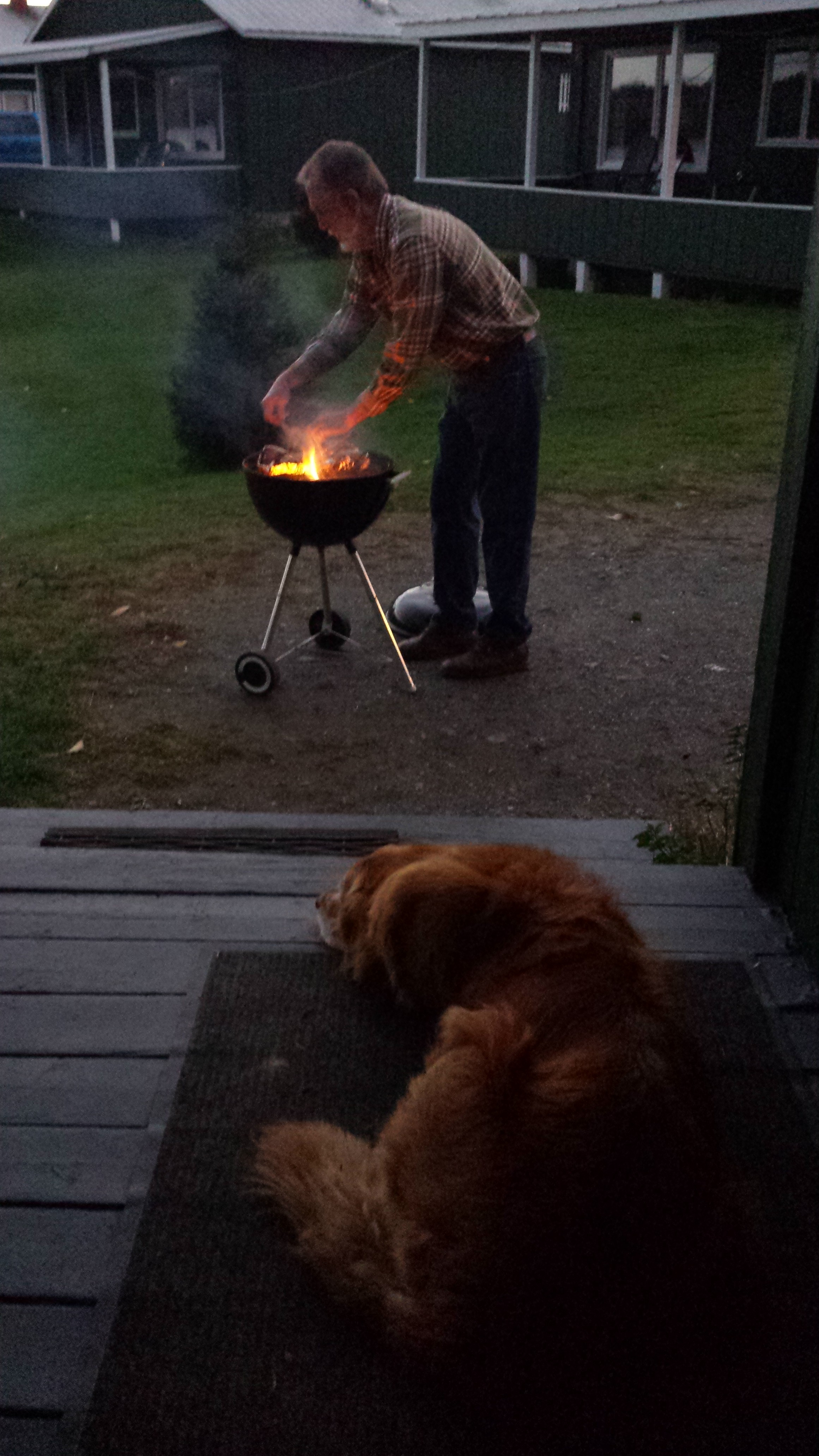
I cruised out onto the Boise-Cascade Logging Road just as it was starting to get dark out, but I still thought I’d made it pretty close to when I said I would. Turned out I was 20 minutes late. Without a watch, it can be pretty tough to time these things. Well, my parents were waiting there with the truck, and Daddy had passed the time by building a little fire in the middle of the parking area. He tended it a bit and then put it out as I changed into civilized clothes and stuffed my gear into the ceremonial black construction sack. Then, it was off to our lodgings for the night. Not overawed by our accomodations at the Sterling House, my parents had decided to lodge some place new. I had voted for Harrison’s Camps, it being right on the trail, and the home of the famous Hiker breakfast consisting mainly of a stack of “patriotic pancakes” decked out in strawberries, blueberries and whipped cream. Unfortunately, in the week or so since I met him, he had closed the camp for the winter. So, I was going to have to be surprised. So now, why don’t we take a look at what Copper had been doing while I was off in the woods by myself? After dropping me off, my parents picked up some resupply and dinner fixings for me at the grocery store, then took Copper straight around, through Caratunk, to Hawk’s Nest Lodge, where they’d spend two nights, and I’d spend one. They spend most of the afternoon hanging out there and went to bed early.
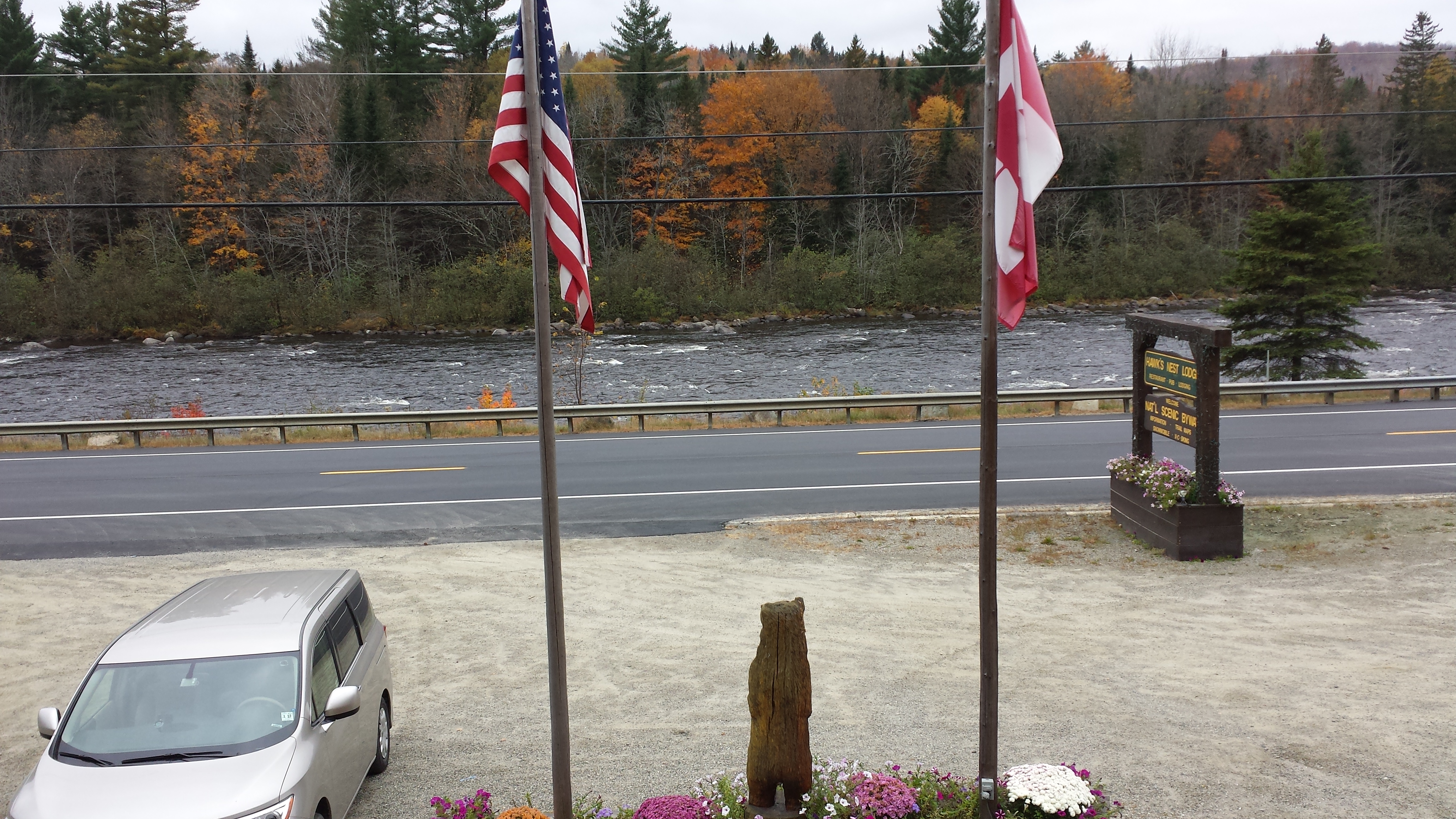

They got up the next morning, skipped breakfast, and started driving north in the fog. They drove out to Moosehead Lake, one of the last places we stayed on our 1999 Atlantic Coast camper tour. They checked out the river, and drove around some in the rain.

Around 3pm, they returned to the lodge, and had a drink before heading up to the rendezvous point. When they’d picked me up and brought me back to the lodge, it was already dark. It’s a good thing they’d already fully explored the place and gotten a number of good photos in the daylight.


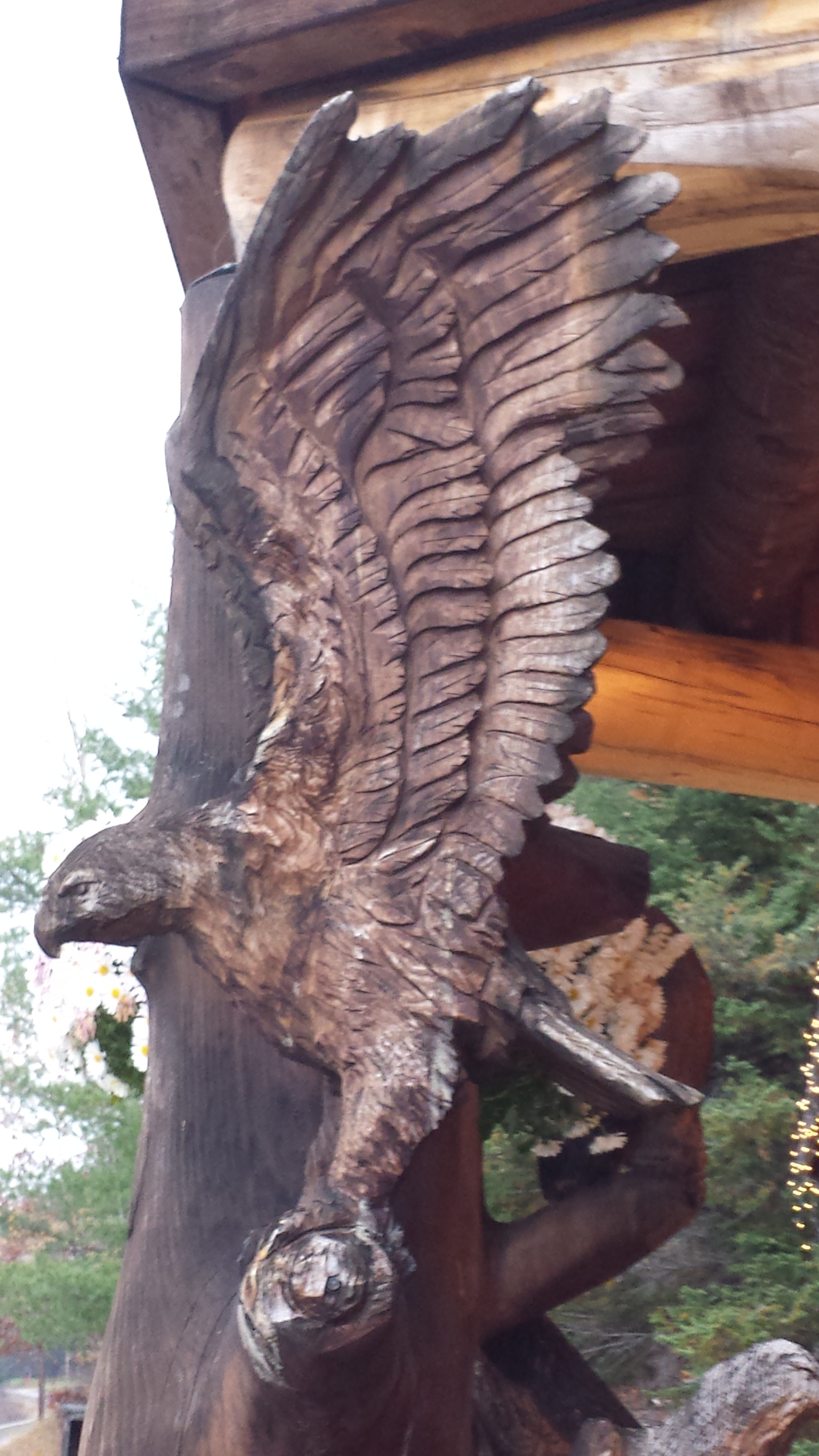
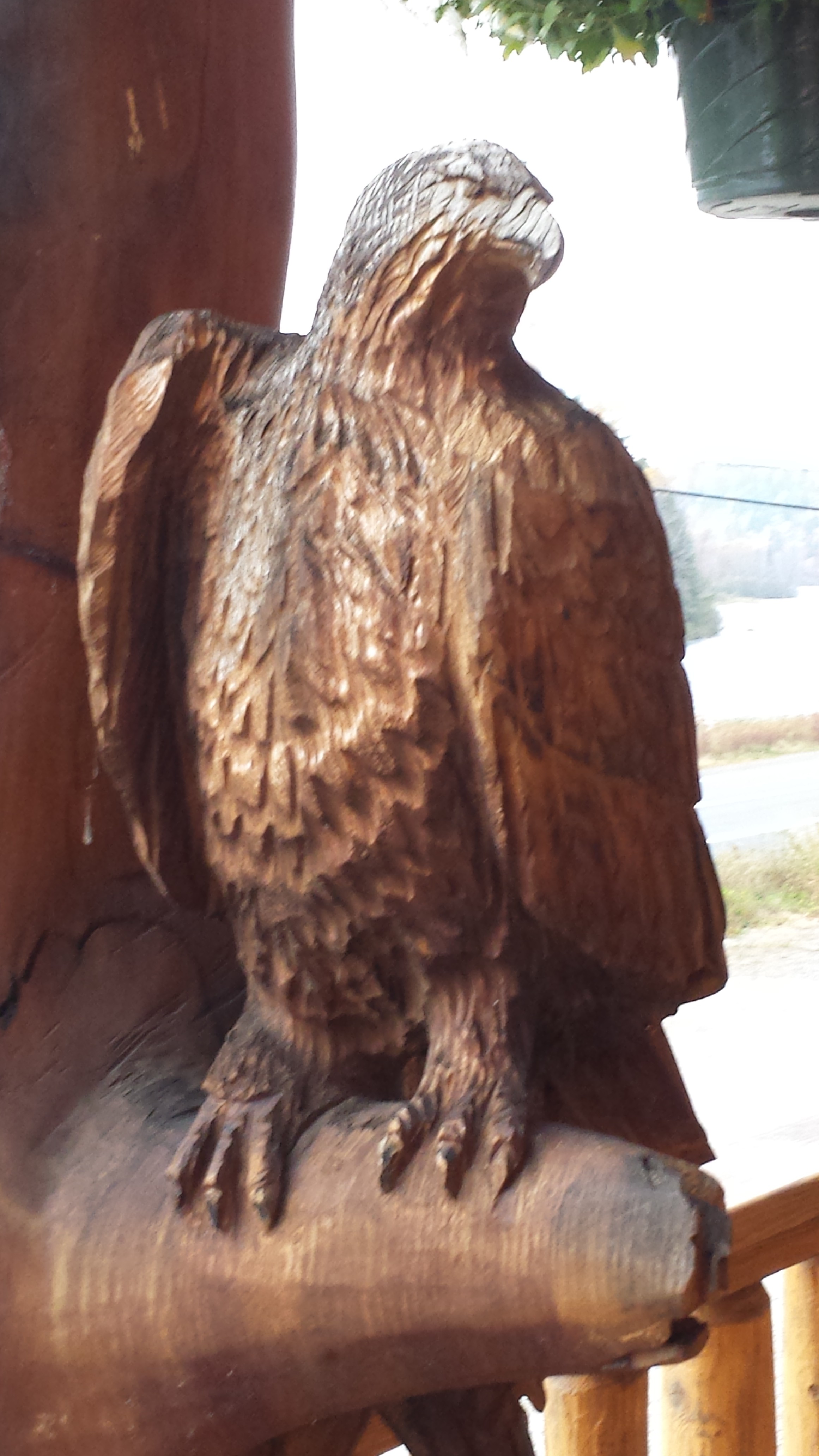
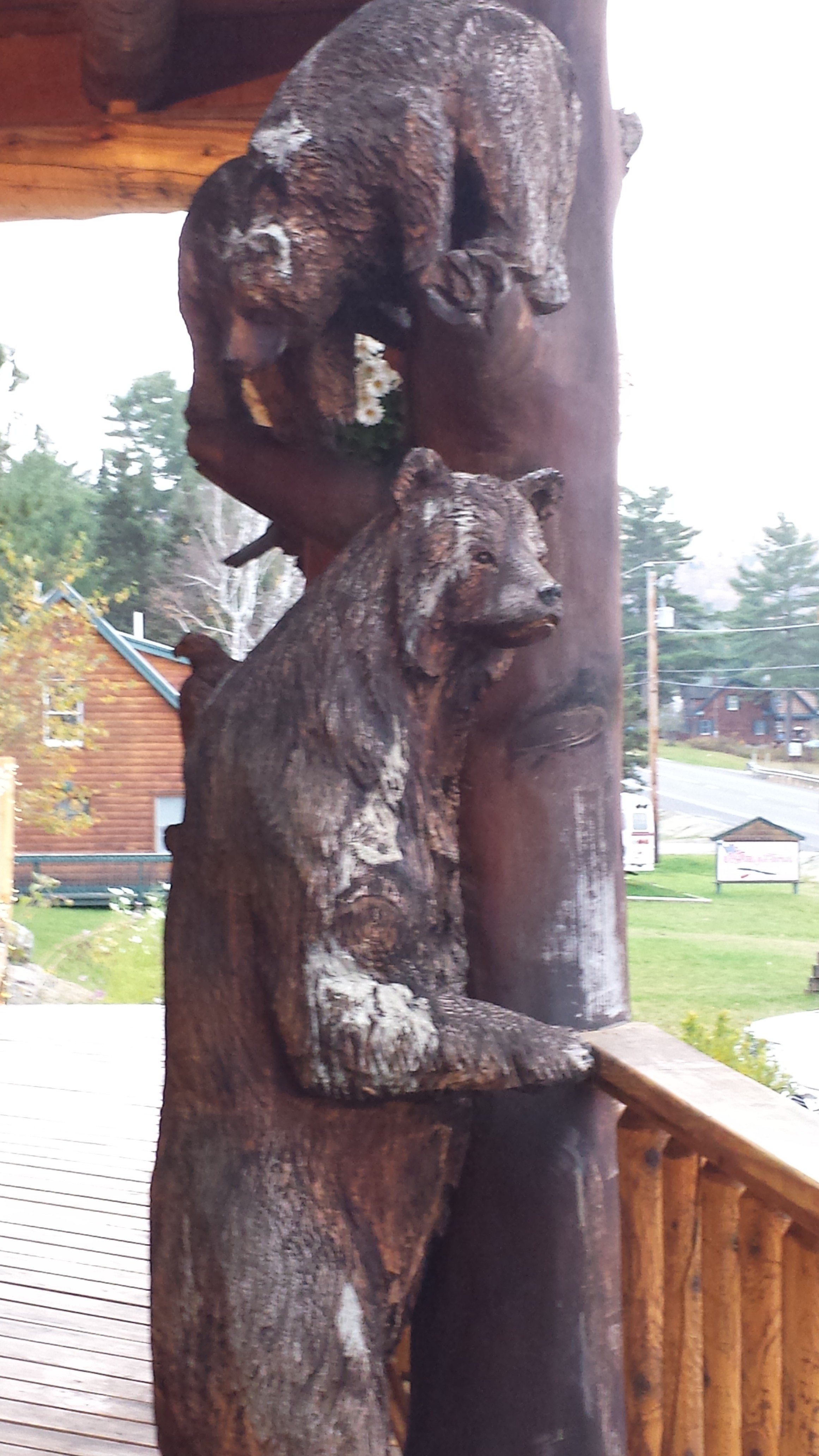
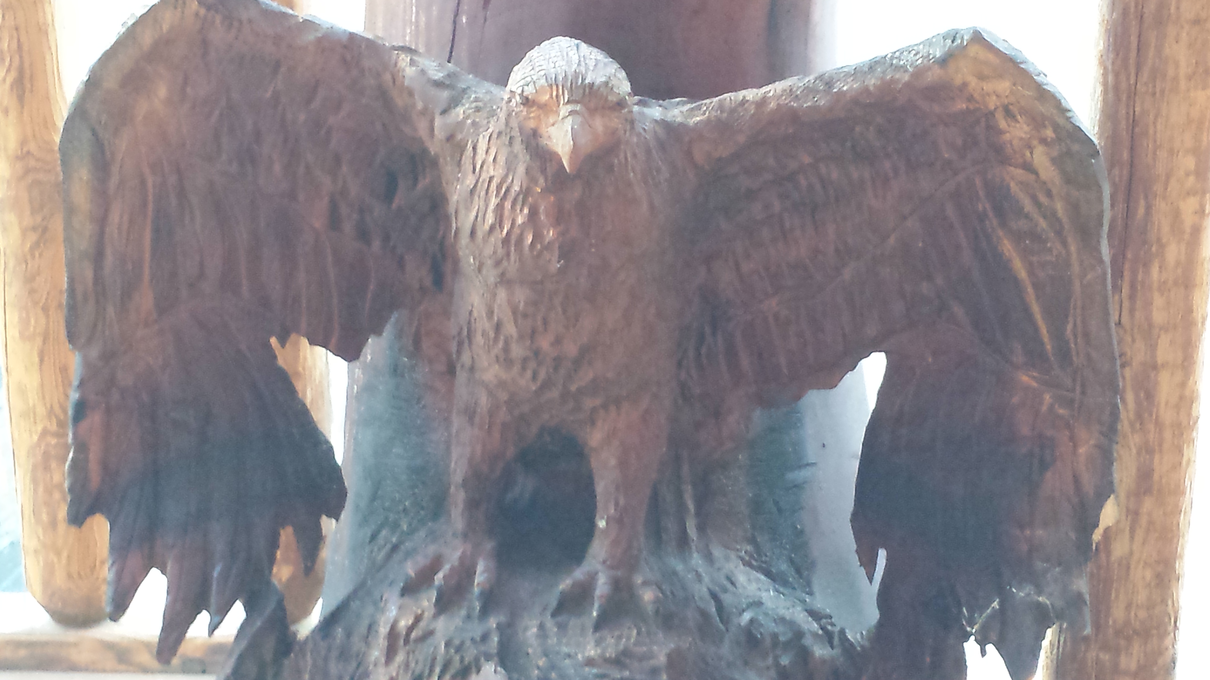
It’s a very interesting place, the Hawk’s Nest Lodge. It’s all handbuilt from hewn lumber, and is decorated with a number of life-size animal carvings on the front porch. As eager as I was to get to the shower, I couldn’t resist stopping on the porch to examine them.

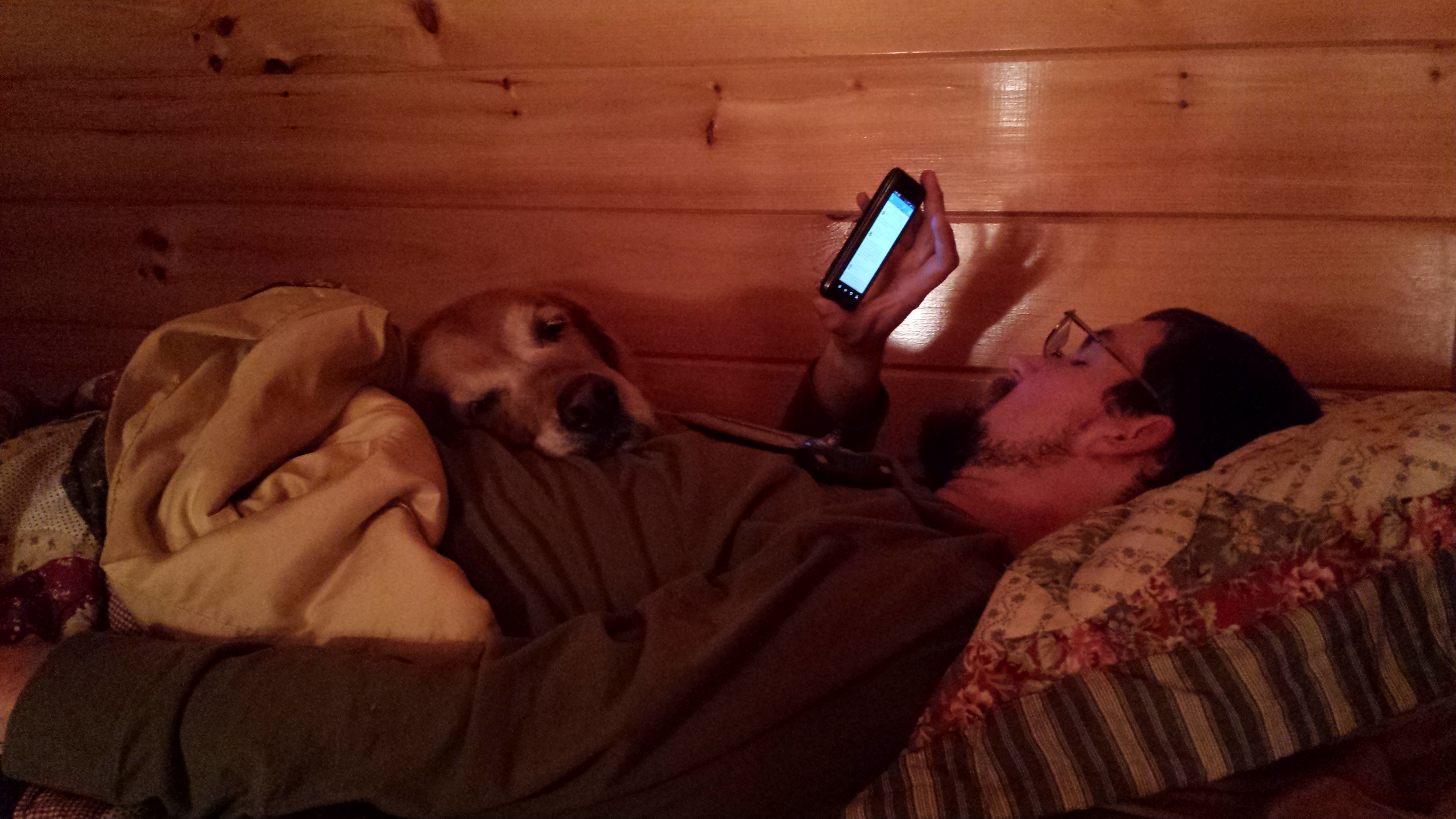
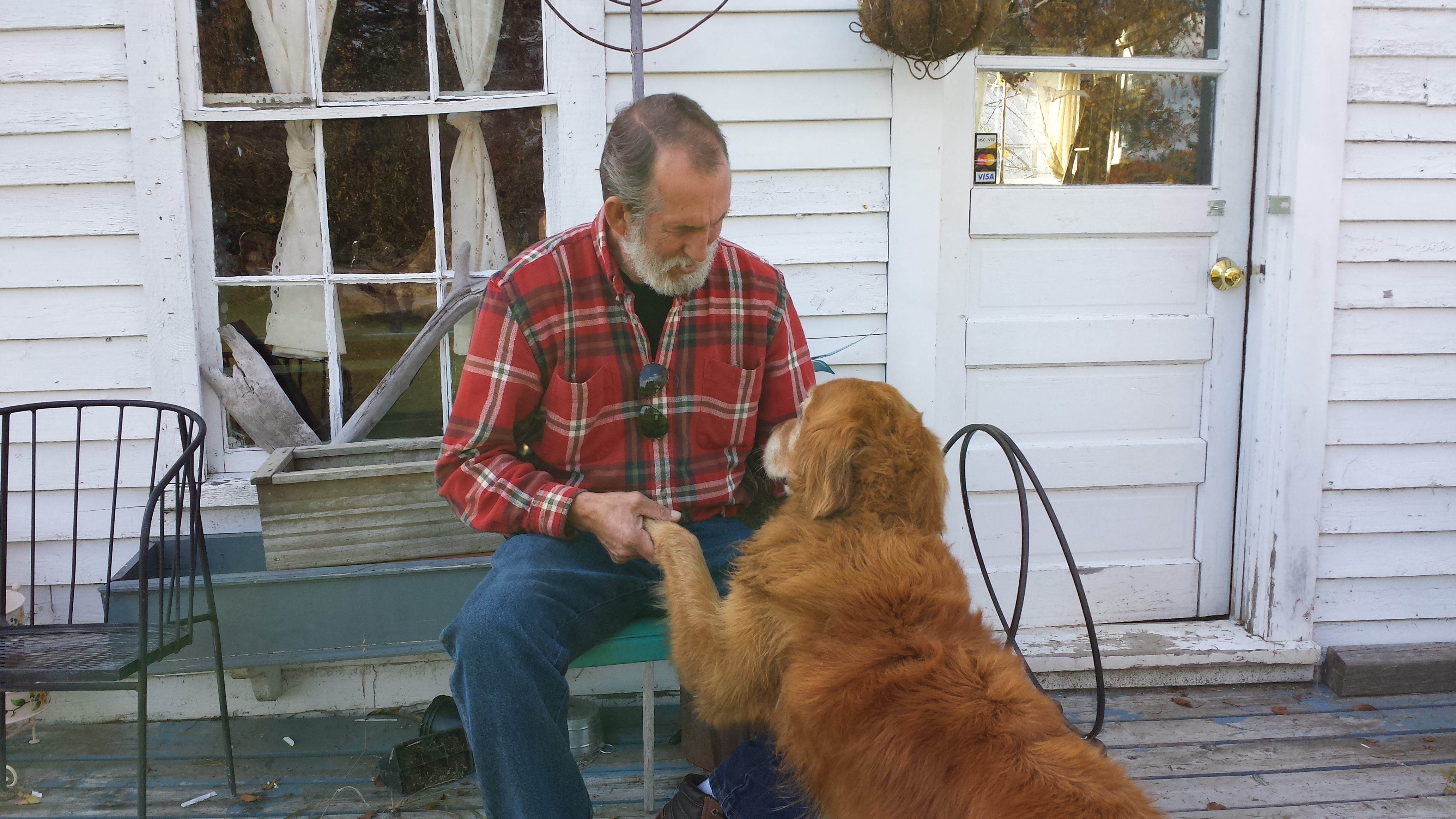
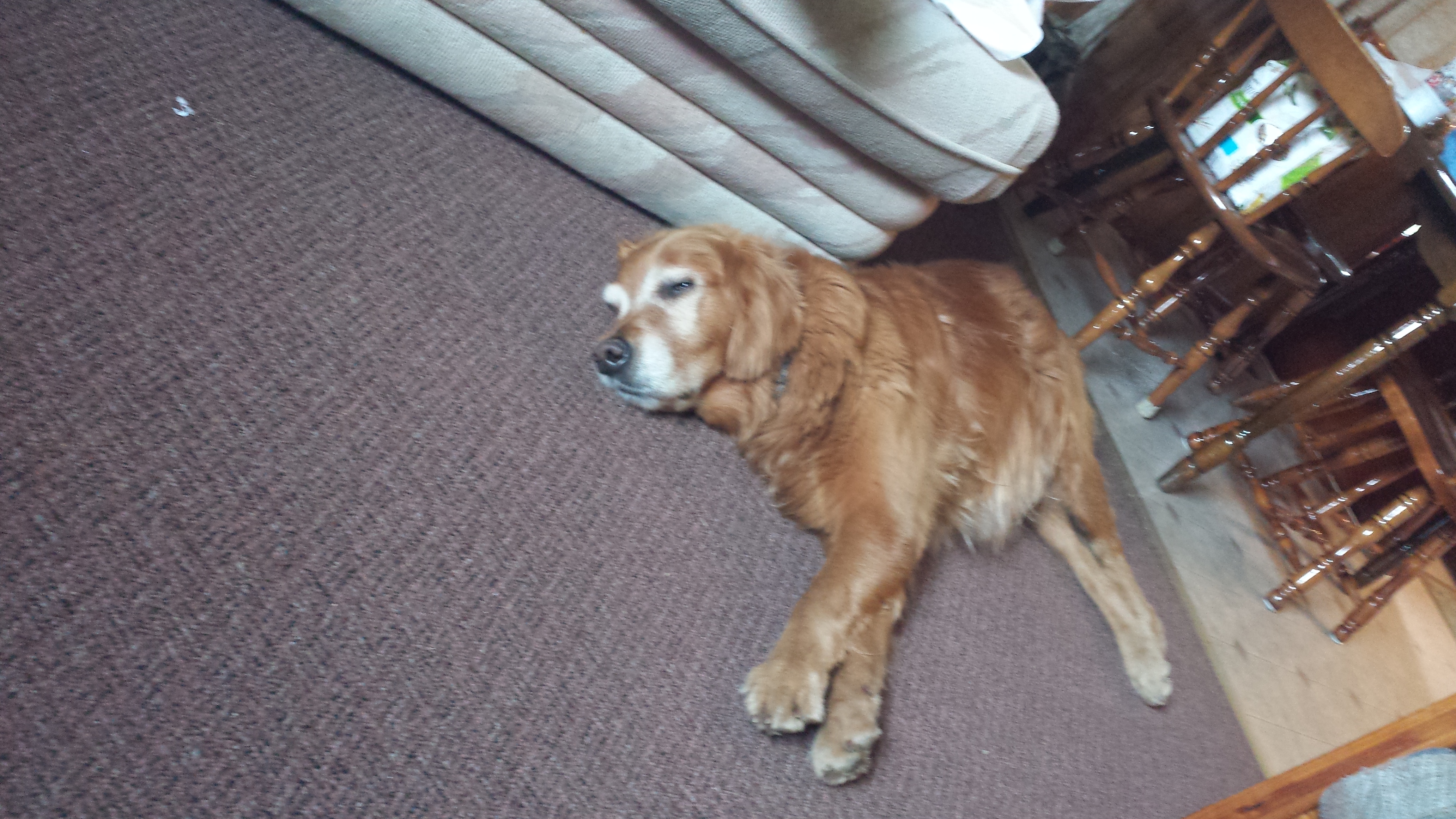
I was already starving by the time I started my shower, and by the time I was downstairs in the restaurant waiting on my order, Copper lying beside me, I was almost in pain. Stupid fast metabolism. I ordered the “Heart Attack Platter” which consisted of all things fried: chicken fingers, onion rings, hot wings, and french fries. Basically a bowl of grease with some meat on top for garnish. It was just what a body needs. Or, well, a body that has been deprived of fats for months on end anyway. Even as I started eating, the overwhelming desire to sleep overtook me. I also, of course, wanted to take advantage of the free wifi. I took Copper upstairs and put him in the top bunk with me, and tried to internet for a bit, but it looks like I was already drifting off to sleep even as I was looking at the screen.
The next morning we all got up really early. The car was mostly packed, so we only had a bag a piece to carry out. We were gone by 7am, because it was an hour’s drive to get to the start of my 8 hour hike, and we were getting breakfast on the way. We stopped in Bingham, a town most notable for containing the only bridge over the Kennebec RIver for fifty miles in either direction from the A.T, so our route necessarily had to pass through it. We stopped at Thompson’s Restaurant, a local joint with a history. It’s best known as being a place a down-on-his-luck lumber man could get a hot bowl of soup for basically nothing during the Great Depression. As I recall, they made the soup from beaver tails, leftover from from the beavers trapped for their pelts. Sometimes the beavers were poached out of season, but they could still be acquired quite cheaply or free, a savings passed on to the customer.
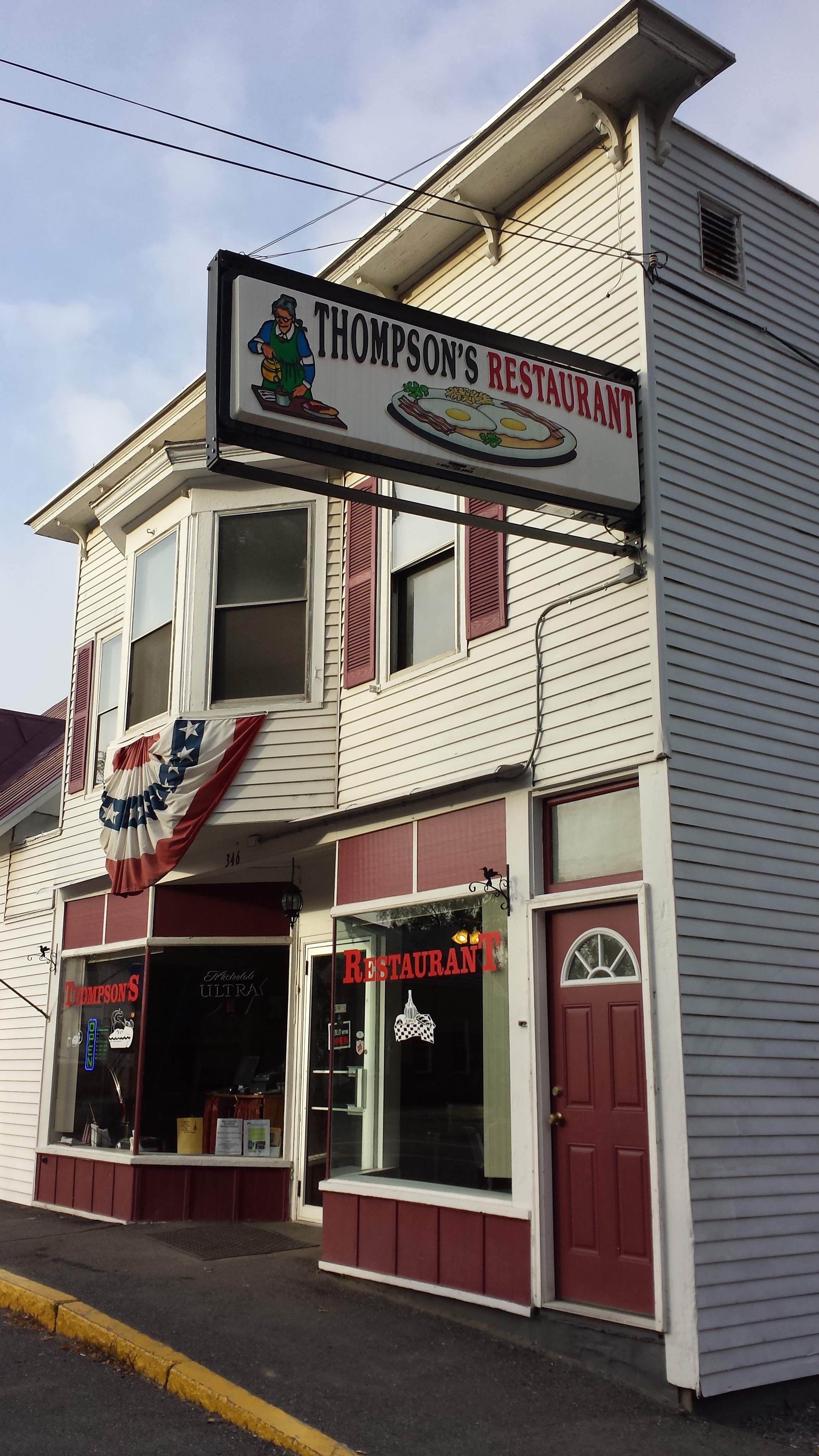
They have an extensive breakfast menu and good coffee. They have several different varieties of omelettes, and I selected one I thought would stick with me for a while. I also tried one of their homemade donuts, because the place does all its own baking, so why not? After breakfast, we had to hit the dirt roads in our little rental SUV. With three people and a full load of luggage and gear, we were constantly worried it wouldn’t make it out of the potholes alive. It was a bit nerve-wracking, especially for my dad. He dropped me off and I was heading into the woods before 10am, which meant I would be expected on East Flagstaff Road by 5pm.
Two minutes after entering the woods, I was crossing a wooden dam across Pierce Pond to arrive at Pierce Pond Lean-To. I couldn’t help sitting there in the shelter overlooking the pond and just soaking in the view and the cool air, listening to the bird sounds in the morning. I had no good reason to stop when I had barely started, but if I needed good reasons for everything, I’d probably not have started a thru-hike in the first place, right?
Mama had been telling me about the adventures of Chipmunk since she picked me up. It was from her that we shamelessly stole the plan of skipping ahead to the Kennebec crossing and then to Katahdin. If it weren’t for her, I wouldn’t have even known the canoe ferry stopped running weeks before Baxter closed. What was up now was that she had supposedly summited Katahdin just ahead of me, and was finishing up Maine southbound like me. And it looked like I was about a day ahead of her from the last blog post of the time. So I started leaving her messages in the shelter logs, figuring she was the only other person out there going the same way as me, and predicting what she was doing at the time I was writing, and what I’d be doing at the time she was reading. I left the first one in the Pleasant Pond Lean-To log. (As it turned out, her mom was posting each day’s story about two days late for her protection, so she was probably ahead of me the entire time. I guess in reality I was writing more for me than for her, so this doesn’t bother me that much. It’s just easier to know what to write when you have an audience in mind. Thanks, dear reader, for giving me reason to write this!)
Twenty minutes later, I took off again. Ten miles blew by with me hardly even noticing what I was seeing. There were more ponds, more beaches right in the trail, lots of streams and gravel roads, and not a bit of it registers in memory. I was listening to my mp3 player and I was probably thinking too. I can’t remember what I was thinking about. I might have been thinking about designs for a haunted house, or a plan to have a zombie apocalypse themed hash race for adventurous Halloween lovers. I know I thought about these sorts of things throughout the entire second half of the month. Or maybe I was so engrossed in a story I didn’t think about anything. I faintly recall stopping just on the opposite side of Scott Road to eat lunch, because it was a good landmark located about halfway through my day.
Either way, the first thing I remember, it was six hours later, and I stopped at the West Carry Pond Lean-To for a mid-afternoon snack. Peak leaf-peeping season was over and I was enraptured by the showers of highlighter-red leaves that came down in a shower every time a good breeze passed. I tried several times to catch the effect in a photo, but I’m not sure a photo could do it justice, and it was too hard to time anyway. See if you can spot any airborne leaves in any of these:


No? Neither can I. But I thought it was magical. I hate to be so clichéd, but you had to be there. I may have left a message to Chipmunk about it. Leaving there, hurrying to my destination, it was time to climb a mountain. Not a very big mountain. Okay, let’s call it a hill. It was about 500 feet of climbing in about a mile. Tame even by Georgia standards. There wasn’t even anything to see from it. But it was getting dark by the time I was coming down the other side. It was barely light enough to see the “2000 miles” spraypainted onto Long Falls Dam Road at the bottom of the hill. The road is 2,017 miles from Springer. Given that it wasn’t the actual 2000 mile marker, and that I was still 110 miles short of 2000 miles, I decided it wasn’t worth wasting dusk to stop to take a picture.
It got dark on my climb up the next pointless hill anyway. I was eager to be back in civilization, so I cranked up The Decemberists The Hazards of Love and marched to the beat while I shouted the lyrics into the darkness. The trail here was especially confusing, and at one point I got stuck: I crossed a small bridge and couldn’t find another blaze. A well-worn stealth campsite (or maybe an official campsite?) was straight ahead, while a freshly cleared unblazed trail turned off to the left, uphill and in approximately back toward the direction I’d come from for no apparent reason. I wandered back and forth and in circles trying to light up a blaze with my headlamp for five minutes before I spotted the dirt between the trees.
Finally, a mile later, with most of The Hazards of Love behind me, I crossed Bog Brook Rd and started straight up my last hill. It was the shortest and steepest so far. I stopped at the top and killed my headlamp to pee, and was marveled by the shape of the pine tree set against the not-quite-black-yet sky. I swear I heard an owl somewhere above me. Moments later, I was coming out into the East Flagstaff Road, and there was absolutely no cars anywhere to be seen.
It was obviously the right road: it was dirt and wide enough for two logging trucks to pass. I thought there must be another parking area, and perhaps my ride, somewhere up the road toward the next trailhead, and so I started walking up the road. There was no parking area at the trailhead, so I kept walking down the road. Fortunately, a pair of headlights soon appeared coming around the bend, and it was exactly the rental SUV I was looking for. I was quite a bit later than I’d been expected, and they’d gone driving up the road, not knowing whether they were at the right place. I guess it’s a lot harder to navigate those logging roads to a particular spot than it is just to follow the trail.
I changed in the car and tossed my boots back in the bag and my bandanna and mp3 on the seat beside me, pulled Copper up onto the seat, and minutes later, we were driving to a much-needed supper. The first restaurant we stopped at had a coach parked outside, a wonderful-sounding menu, every item of which they were exorbitantly proud. We got back in the car and drove all the way down to main street Kingfield and stopped in a cute little local restaurant called Longfellow (the name of Maine’s most well-known poet). I had lobster-scallop mac and cheese, and I can’t say I’ve ever had a better pasta. The place had fabulous service, ambience, and quality eats. I’d recommend it to anyone. Anyone who was planning to visit Kingfield, ME anyway. Which I suppose means “no one”.
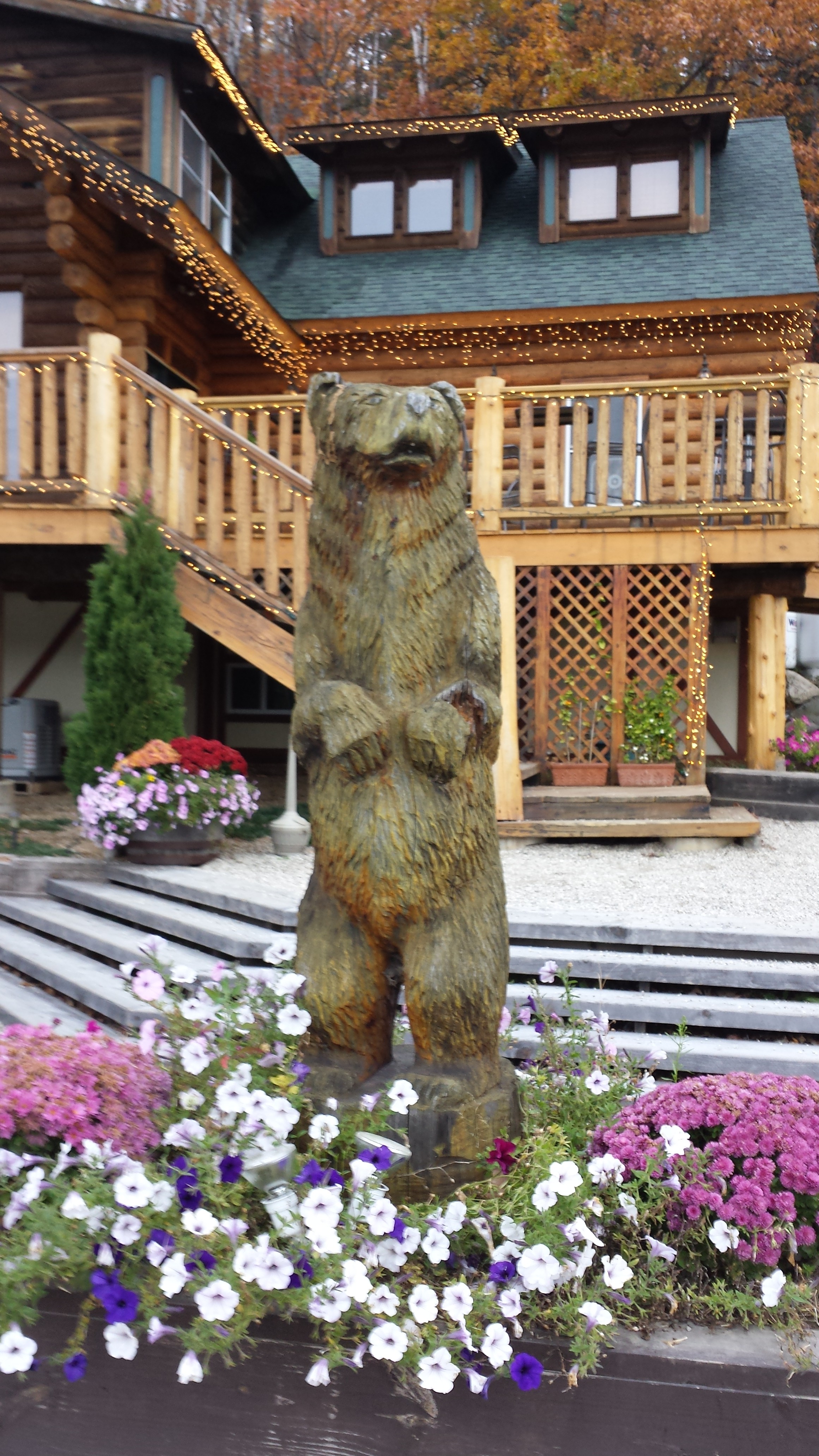
Back at the car, Copper had somehow managed to work his way off the back seat, and was standing with his back legs in the space between the seat and the door, and he nearly fell out of the car when we opened the door. We managed to get him situated, and headed back to the B&B. Copper had already spent an entire day at the Mountain Village B&B, which happened to also be a farm. The old lady who ran the place was non-stop with the gardening and the beekeeping. They also had a dog for Copper to play with. I had no idea what it was when I got there. It was a nicely decorated place where I had to be quiet because everyone was already asleep.


This sculpture is one of the few sites I saw at B&B in a single late night and early morning.
Sitting in the driveway, I started putting together the things I would need to go inside and sleep and shower. To avoid waking anyone up, I only wanted to take one trip. I couldn’t find my little Sansa m250 mp3 player. I searched all over the floor of the car, in the driveway under the car, and then got Daddy to drive me back to the restaurant to search the parking area. Nothing. It was absolutely gone. “So you lost a $50 obsolete electronic device? So what?” What I lost I considered my lifeline to sanity. Some might say it was something about my personality that kept me from quitting along the way like more than 80% of the hikers who set out in 2013, and maybe they are right, but I can’t help but give some credit to Sansa. That little device had manage to travel almost 2000 miles, surviving immersion, extreme sweat, abrasion and a trip through the washing machine (at Bearded Woods Hostel), playing well over 20 audiobooks in a row, serving as a mobile ssh client, and outlasting three pairs of headphones. Of course I was distraught to see it go.
I got my shower and went to bed, praying the light of day would reveal it again. My prayers were answered alright, in the same way that the monkey’s paw grants wishes. I was awoken in the morning by Mama, who’d taken a walk to the end of the driveway and found it there, crushed, in more pieces than could possibly be reassembled. My best guess is that Copper knocked it off the seat while we were eating, knocked it out the door when we were trying to get him back into the car, and it dangled under the car by the headphone cord the whole way to the B&B, where the bump at the end of the driveway finally shook it free. Then, when we backed down the driveway to go look for it back on main street, we drove right over it. Crunch. Goodbye, old friend. R.I.P. Now how was I going to keep myself occupied while hiking? At least didn’t have another long stretch of hiking alone ahead of me.
Breakfast, at least, was a treat: blueberry corn meal pancakes (somewhat burnt), free-range chicken eggs, granola, toast all prepared by the hard-working old woman of the house. She wasn’t alone though. There a pair of freshly done thru-hikers there just finishing the last work-for-stay of the season. They were Russian or Ukrainian or some other Eastern European, and only one of them was able to muster up some intelligible English, but he managed to translate for the both of them, so we still managed to learn a lot. With breakfast in my belly and my stuff loaded up, it was time to return to the trail, all the way back up that dirt logging road.
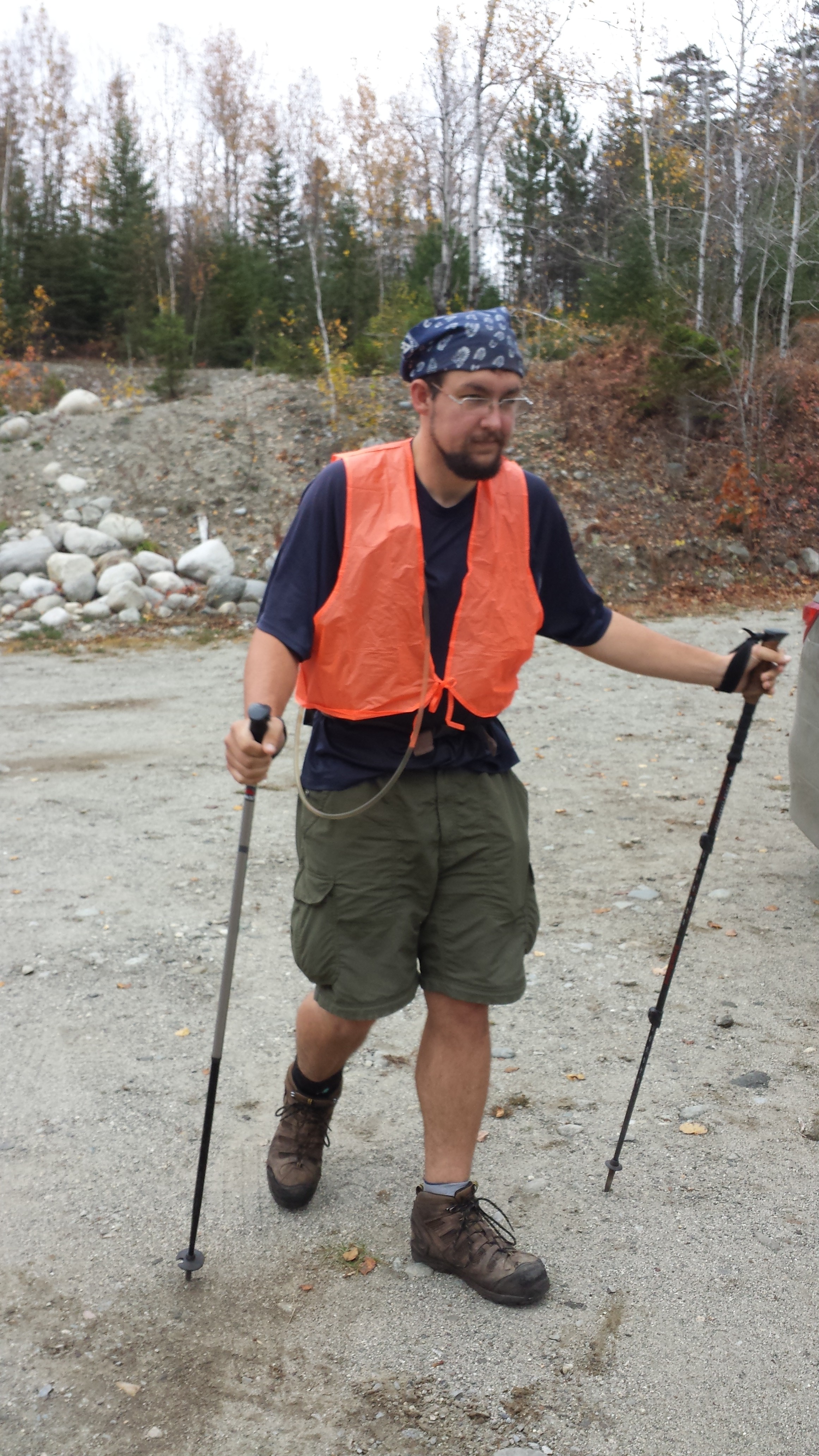
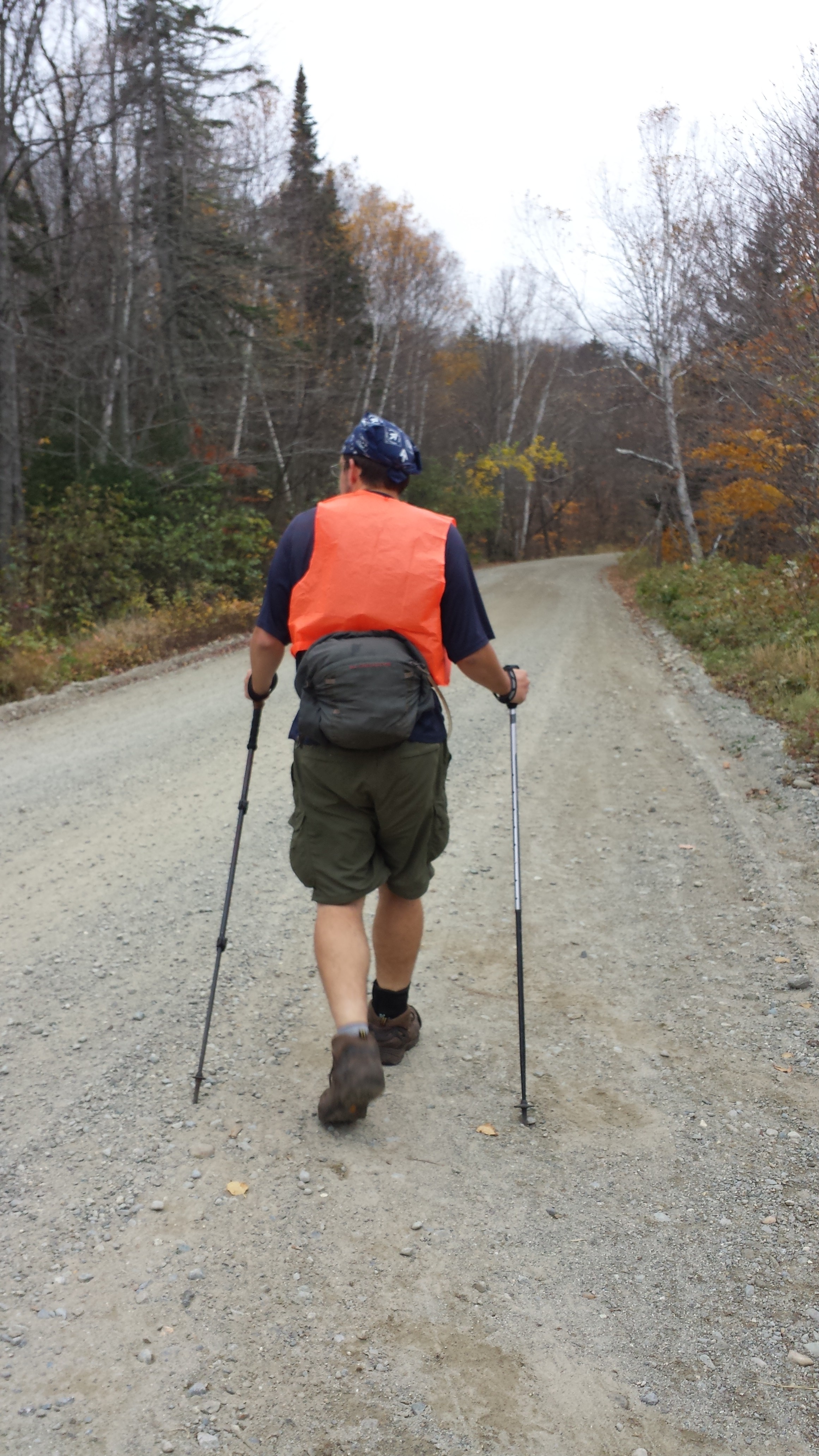
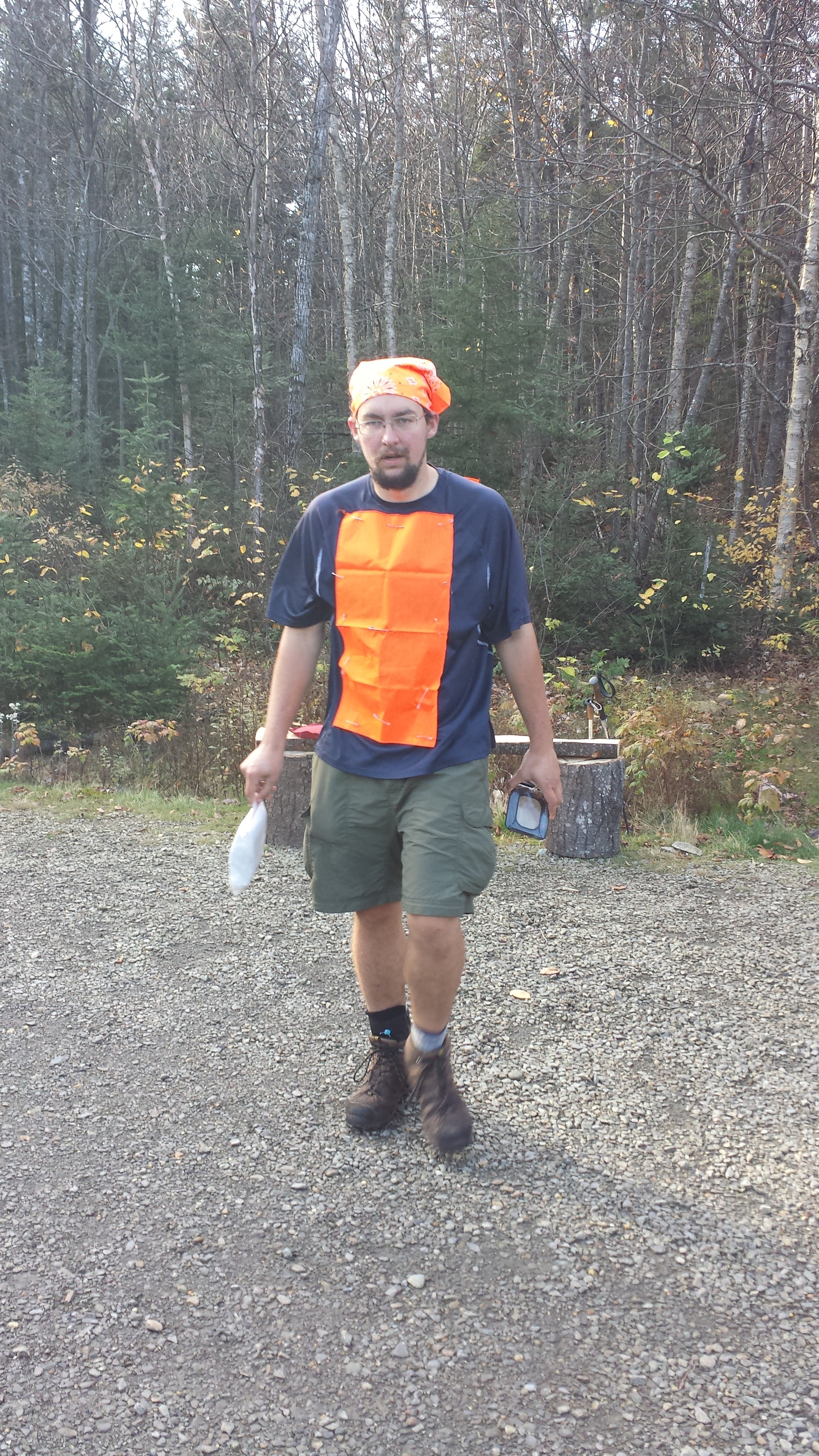
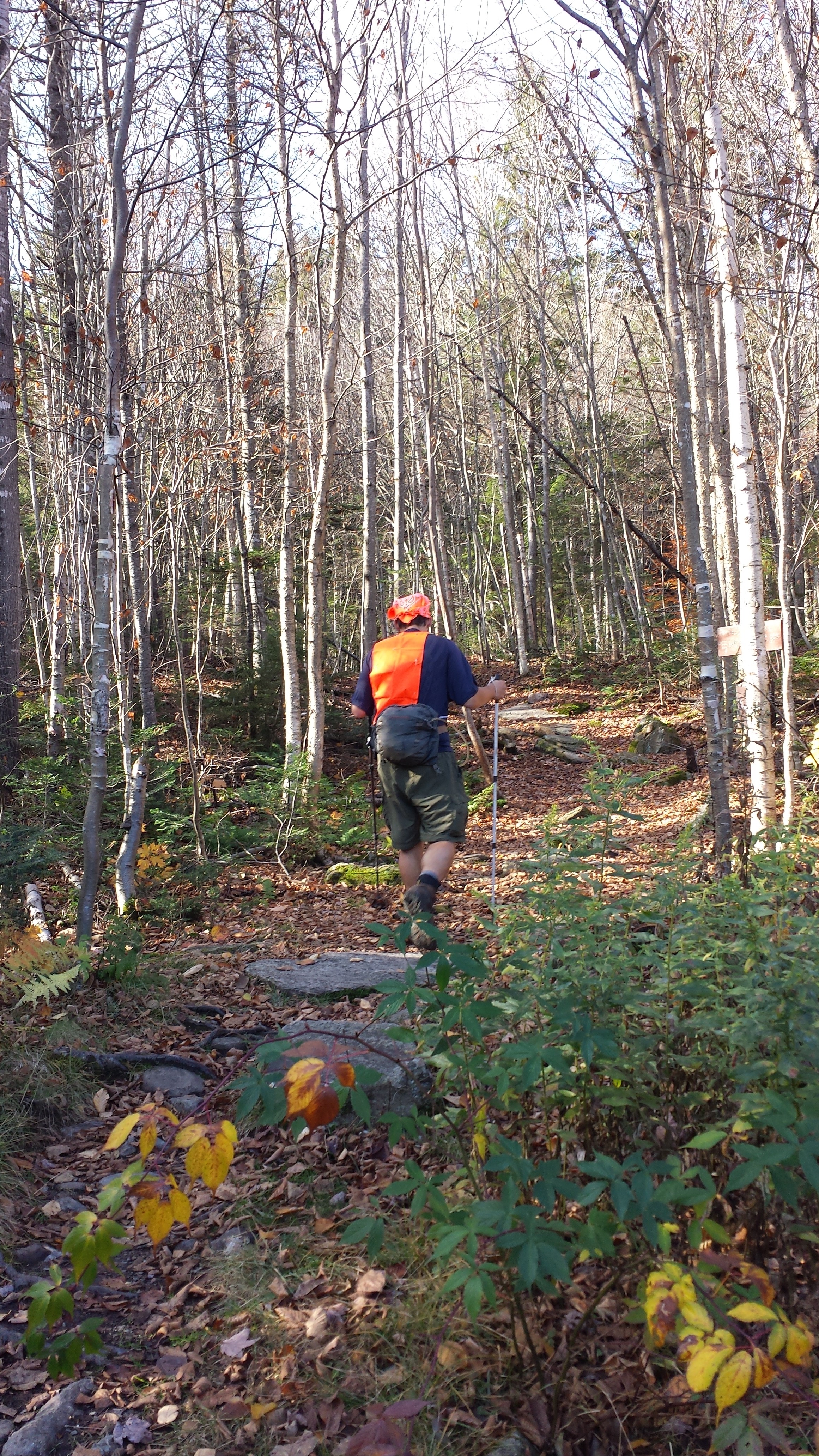
This time required considerably more dodging of logging trucks (who do not slow down) and my dad was getting ready to grind his teeth to dust by the time we got to the trailhead, but that’s fairly typical of the experiences we had down these long dusty logging roads. This morning, because it was moose season, my dad had found an iridescent orange acrylic vest to wear. It wasn’t very attractive and I wasn’t too keen on wearing it, since I never saw any moose hunters in the trail corridor nor even heard a shot fired in the distance, but it seemed to be a necessary precaution.
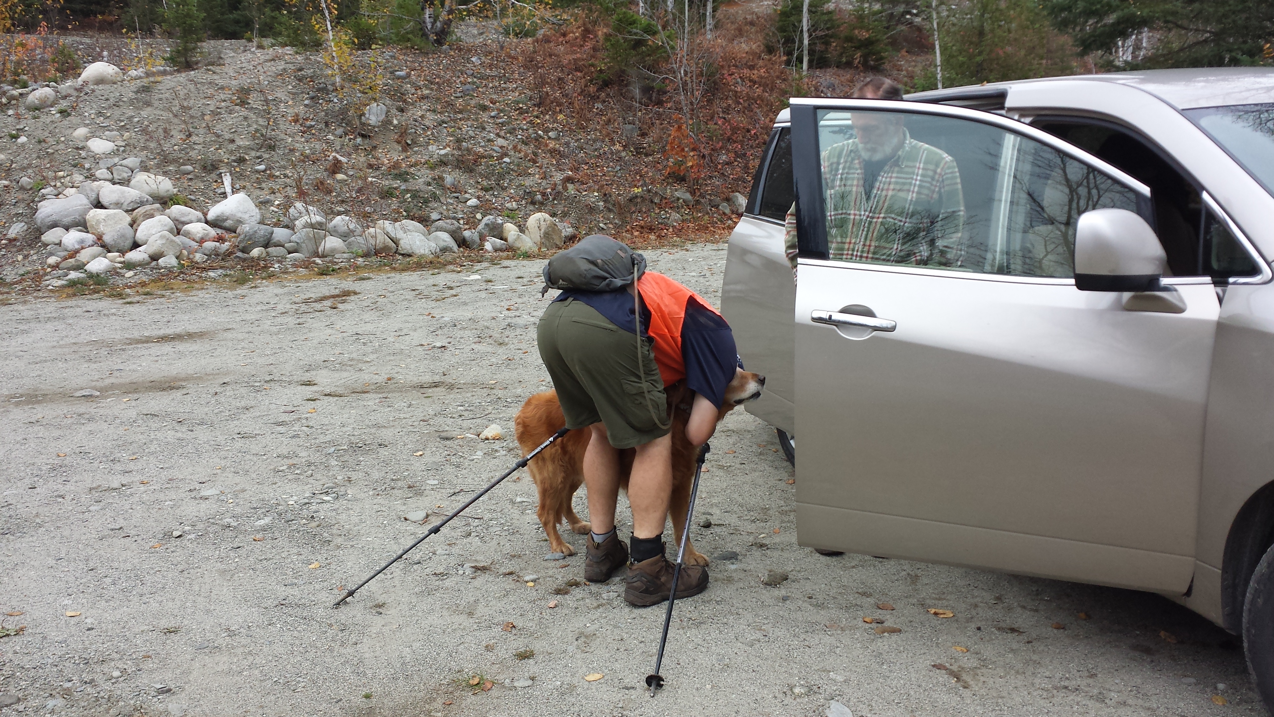
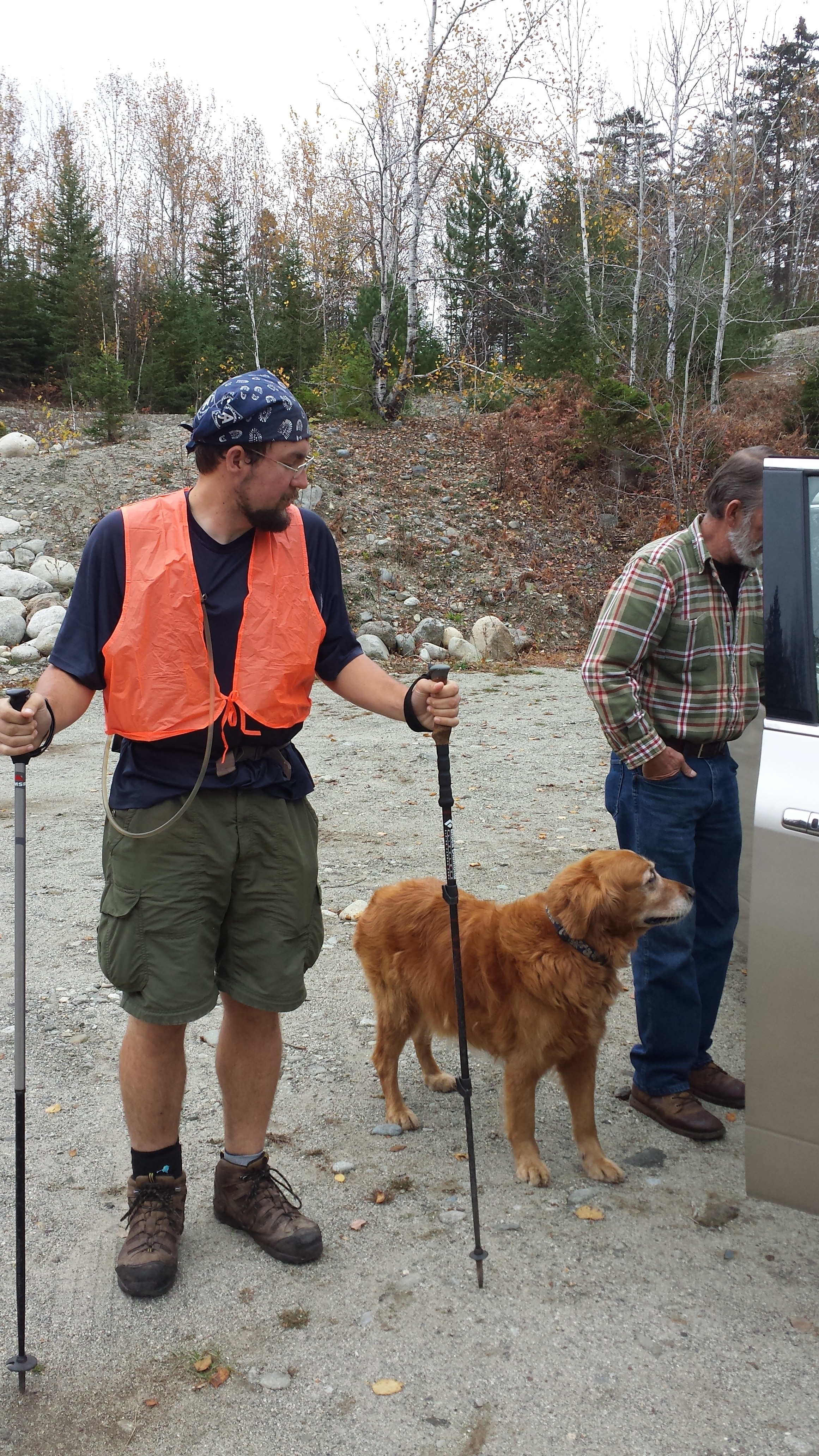
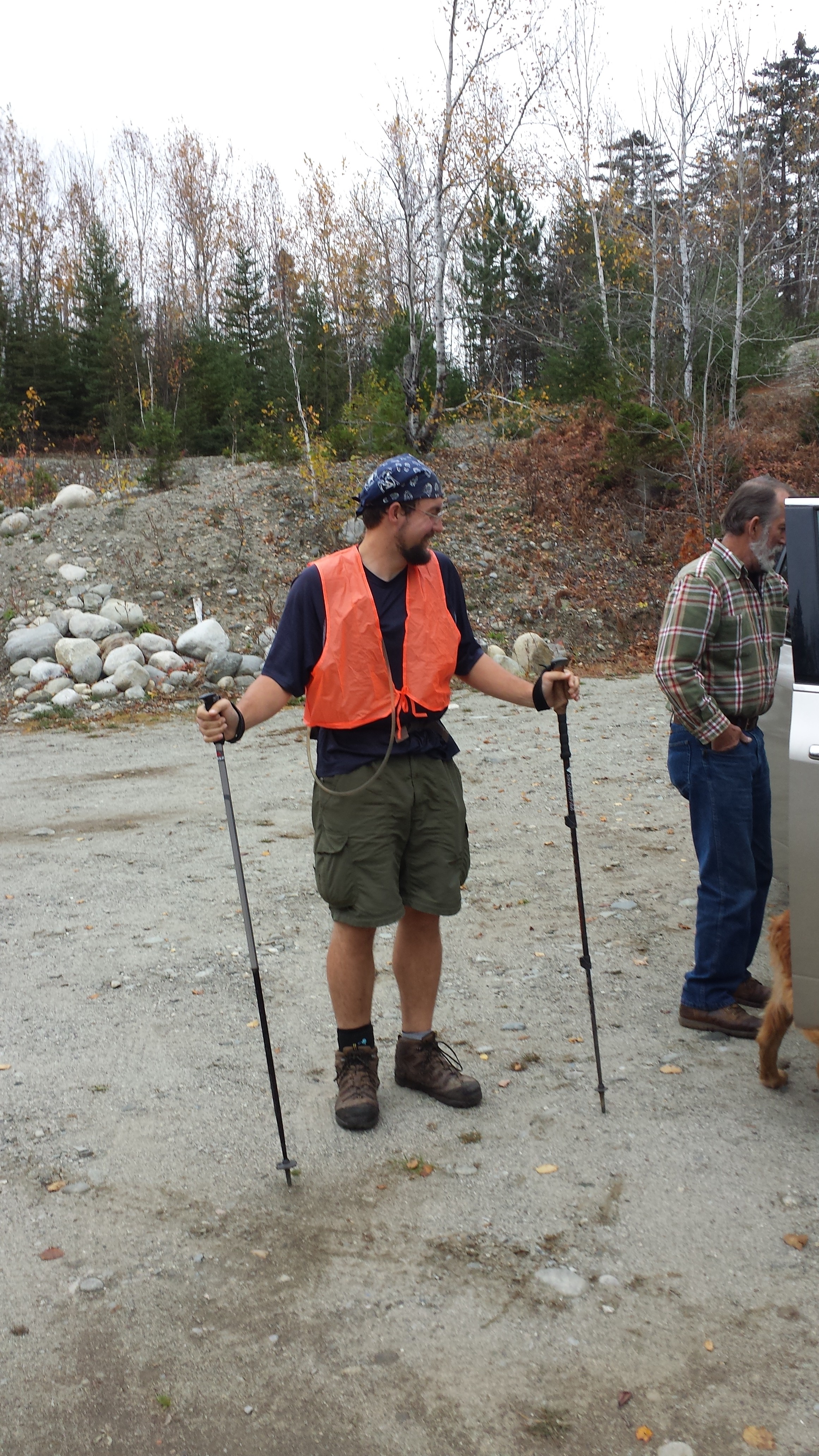

Of course, we had to park in the parking area near the north-facing trailhead, because, as I mentioned, there was no parking place near the one I’d be taking, and parking in the road was impossible because, as I also mentioned, the logging trucks do not slow down. (This isn’t completely true. At some point this morning, we passed one on a curve that came within inches of clipping the side mirror. He dropped enough speed that we could put it in reverse and move off onto the shoulder, but he never stopped moving forward. The attitude seems to be to allow non-loggers the minimum amount of time absolutely necessary to make room for them to get by. If you fail to do so, they will be forced to make room by brute force.)
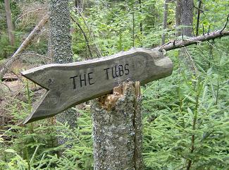
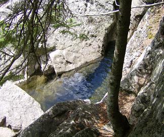
When I finally reached the trailhead (which was somewhere near the trailhead for the Hemlock Trail for snowmobiles and ATVs—I was unable to tell which trail was more popular in this part of Maine), it was time to start climbing. The trail was just up for the first three miles. Indeed, very little of the 17 miles I had scheduled for the day would be on anything like level ground, as the goal would be to do the entire Bigelow range. And, leaving at 9:30am, I figured on doing it in about 10 hours, arriving by 7:30pm. Which meant I had little time to waste. That’s why, after hiking a mile, I stopped at the Little Bigelow Lean-To for a snack. Also to leave a log message for Chipmunk. Also to use the privy because there just hadn’t been enough time before leaving that morning. Also to check “the Tubs”, a series of strangely hot-tub-shaped pools in a flume just down the trail from the shelter. I imagined they might have been lovely places to cool off for hikers who’d made it this far by August (which was surprisingly many of the ones I was hiking with back in March and April), but seemed painfully chilly for the current weather.
Pictures by Eric Rathbun
Having thoroughly explored this brook (and said a scant few words to a pair of northbound hikers who had happened to show up while I was there), it was time to head on up Little Bigelow. That’s a 2200 foot climb in about a mile of trail. Nothing easy about it, but without a pack, it probably took about a half-hour, so I made it to the summit—an exposed ridge 3010 feet above sea level—by 11am or so. There is quite a good view of Flagstaff Lake from there, but I could also look across the range and see the top of Bigelow Mountain over a thousand feet even further up, and I figured the views would be even better from there. Keeping in mind my deadline, I skipped the photo and walked back down into the woods.
A couple of hours later, having spent a lot of time on rock ledges, on bog bridges, and in ruts with a pretty stiff cool breeze sweeping by, I had made the three miles down to the brand-spanking-new Safford Notch Campsite, where the A.T. meets the Safford Brook Trail. Since it was well into the afternoon, and I needed a bit of energy to do the two-mile 1,866-foot climb up Bigelow, it was time to celebrate with lunch. While Safford Notch has no lean-to, it does have several tent platforms, which are quite serviceable to sit on while eating.
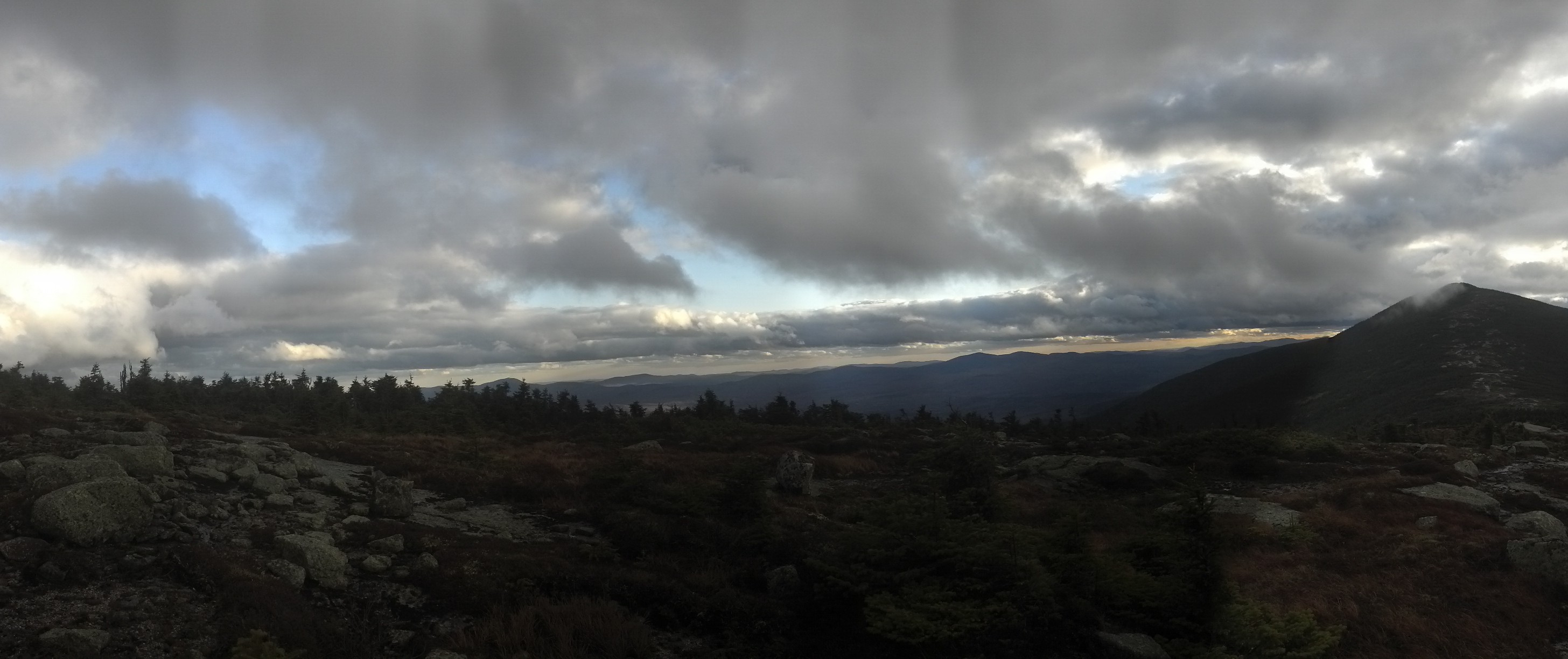
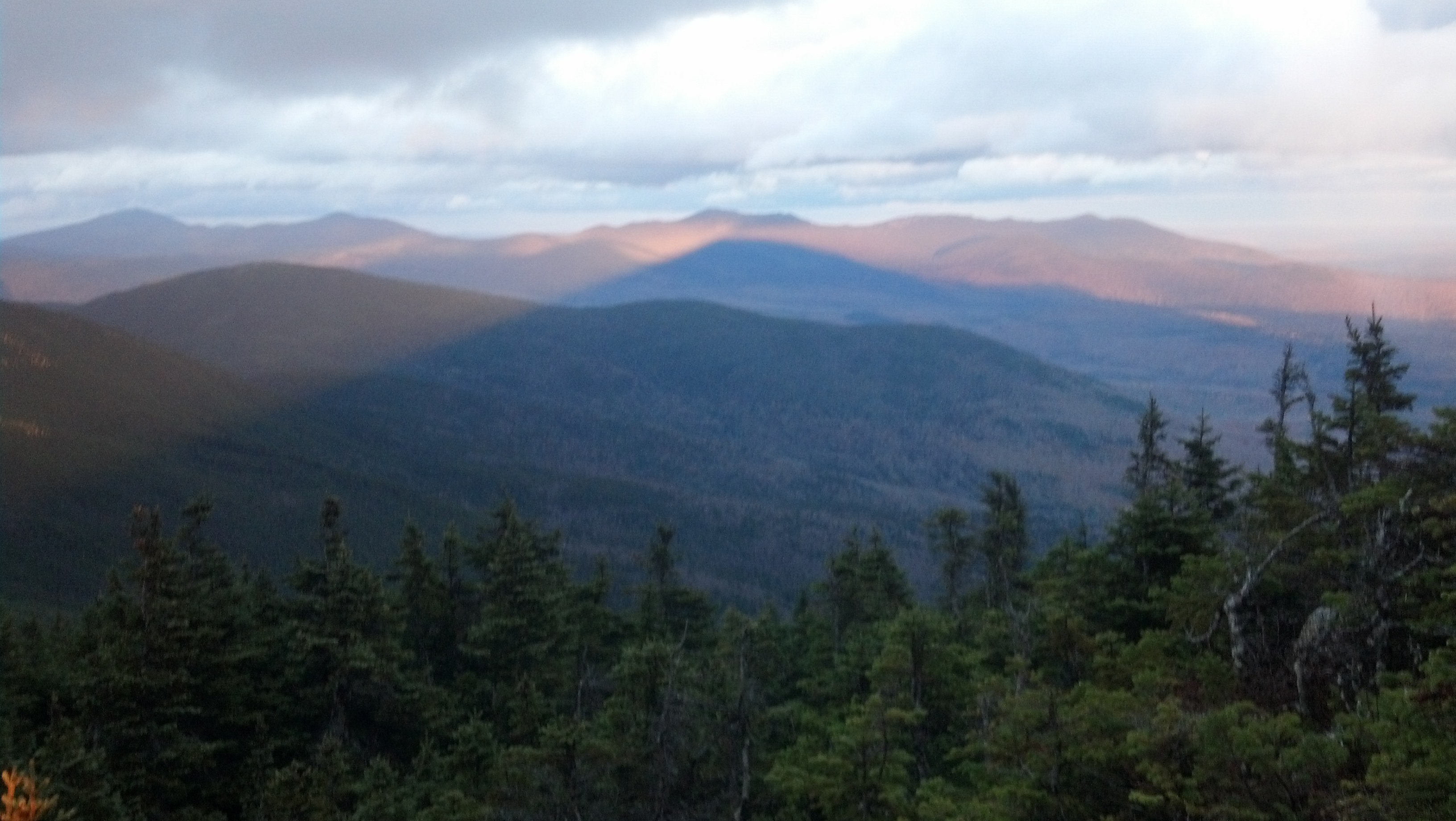
When I felt guilty enough about my stasis and the headlong movement of the numbers on the clock toward the future, I put myself back together and started climbing. Not hiking, not walking, but hands-on-the-rocks, out-of-the-trees climbing. It wasn’t quite the Abol Trail, but it easily blew all the other hiking I’d done in the previous two weeks out of the water. A little after 4pm, I finally found my way to the top of the easternmost peak of Mt. Bigelow: Avery Peak. From here, it’s easy to see the main peak and, on a day as clear as that, just about everything else in middle Maine.
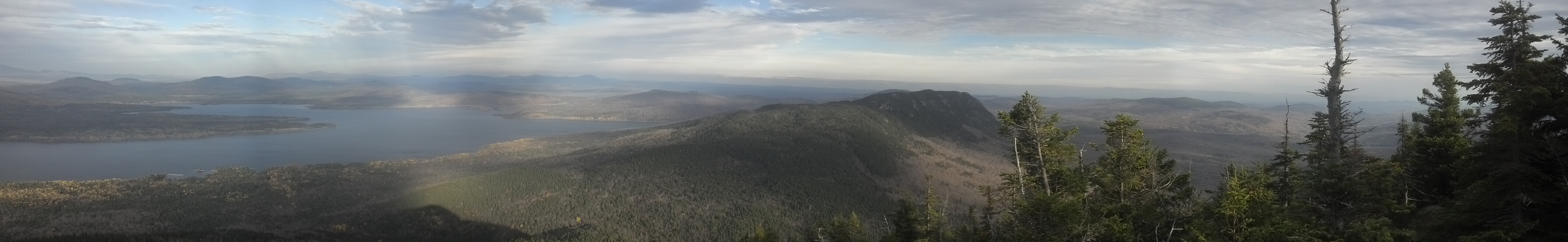
Here you can see Flagstaff Lake, so well lit the mountain seems dark in comparison.
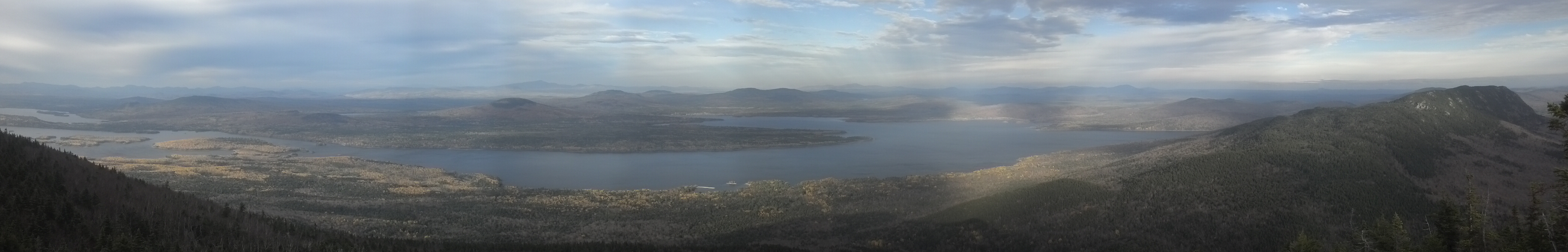
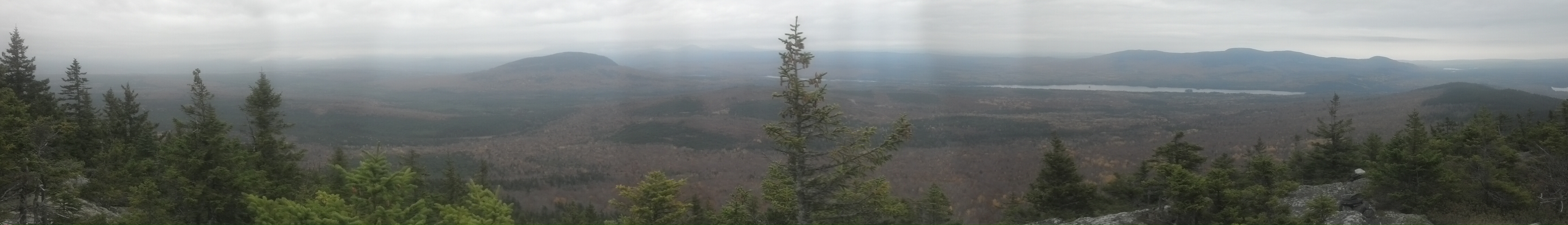
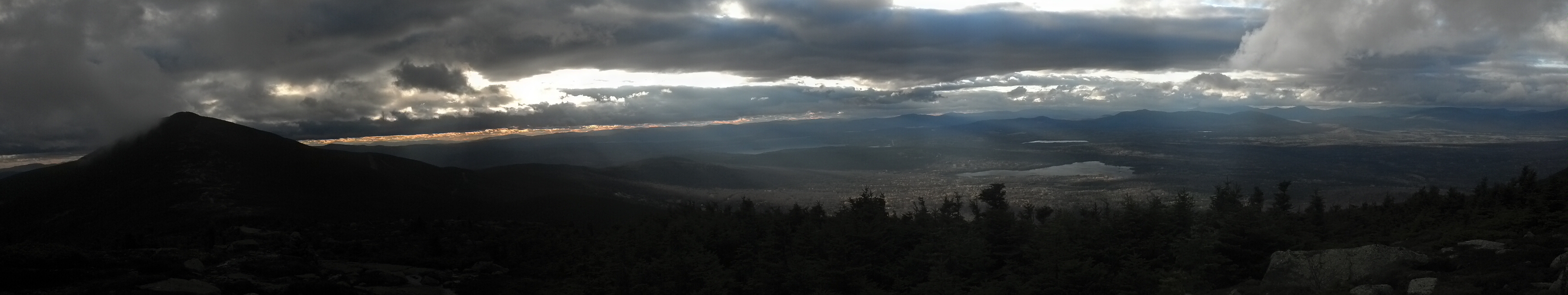
These two panoramas show Little Bigelow Mountain and Flagstaff Lake

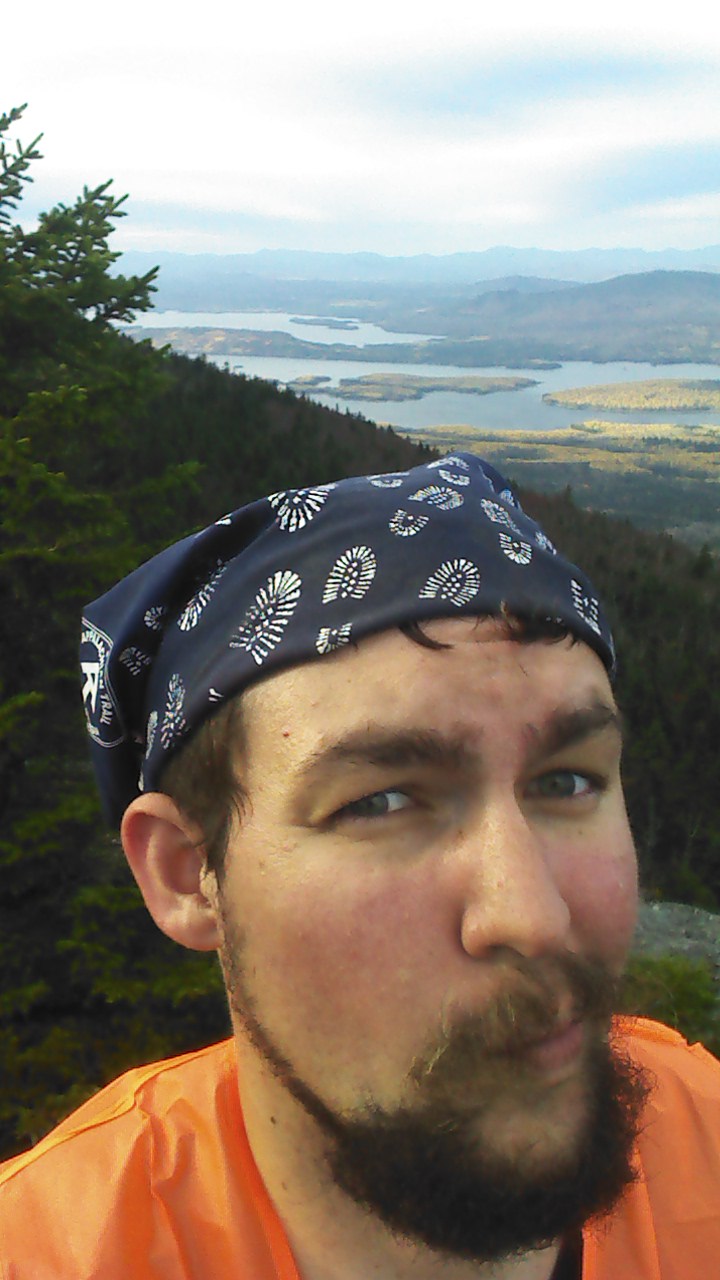
I’m pretty sure I stole that face from Dangerpants
If it’s not interesting to you that the second highest peak in the Bigelow Range is called Avery Peak instead of, say, East Bigelow Peak, you’ve obviously not heard of Myron Avery. Everyone who knows anything about the A.T. has heard of Benton MacKaye, the architect, the socialist dreamer, the idea man behind the first long-distance interstate wilderness footpath in the U.S., but even most thru-hikers have never heard of Myron Avery until they arrive in the Bigelows. You can get the two paragraph summary from his wikipedia article but all that will do is make you wonder exactly what it means for someone to be Benton MacKaye’s “collaborator and sometimes rival”.
The two men could not have been more philosophical different. Even though we’d have no A.T. without the both of them, a little reading shows that, while MacKaye was the trail’s “head in the clouds”, Avery was its “feet on the ground”. He was out working on the trail almost every weekend, and during the week, he was writing letters and articles, making connections, and generally getting the word out about the trail. And while he was doing all this, he still managed to spare enough time to hike the entire trail himself. Yes, he was the first person ever to hike the entire trail. It’s said he managed all this by netting an average of five hours of sleep a night for years. I can think of a few people with that kind of nonstop go-get-’em type-A attitude, and it’s not hard to see how it was that he and MacKaye butted heads.
It was to Avery that the first single-season thru-hiker, Earl Shaffer, reported his five-month-long adventure in 1948 (with quite a bit of criticism, as five straight months of hiking is enough to turn anyone into a trail gourmet). Three years later Avery finally achieved a single contiguous Appalachian Trail, a thing that had been briefly achieved in 1937, but was quickly lost due to weather and the redirection of resources for second World War. The next year, with his life’s work finally accomplished, he died. Within a year, the eastern peak of Mt. Bigelow had been renamed for him and a shelter and campsite built below it in his honor. It is toward that campsite I descended as the sun began to set.

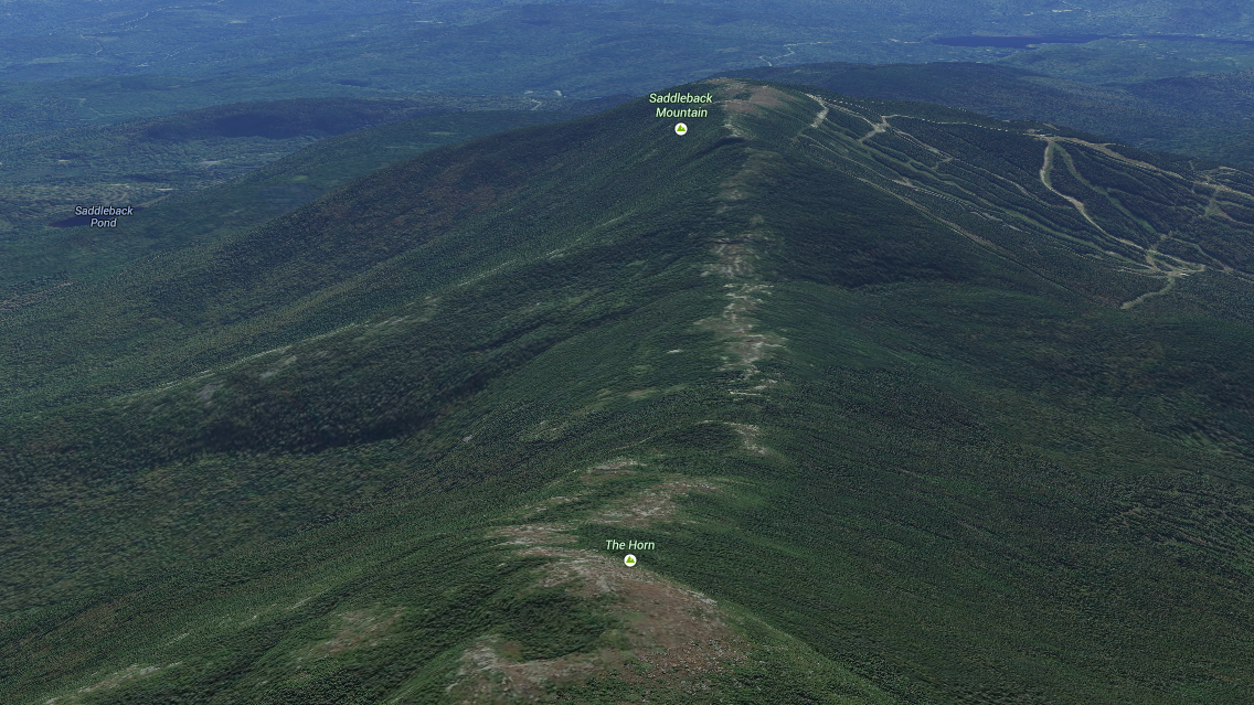
The ridgeline of Bigelow Mountain, with Avery Peak nearest, West Bigelow Peak highest, and the Horns at the very farthest end. (The trail goes over the horn on the left.) Via Google Maps
Avery’s shelter has long since been removed due to overuse, though its foundation and a memorial plaque still remain. However, the campsite nestled into the little col between Bigelow’s peaks still remains, home to a number of tent platforms and a cabin for the caretaker. The campsite is quite popular during the season, and a caretaker is necessary to keep people from junking up the place, give advice, and keep the privy clean. In the off-season, the caretaker is still there, but probably mostly to keep the hikers from freezing to death. Yes, it is extremely cold on top of Bigelow Mountain in late October. In fact, I expect it is rather cold there at night in every season, as long as the wind is blowing. It was the cold and the smoke coming from the chimney of his little cabin that largely convinced me to stop and chat with the Avery Campsite caretaker. That and the fact that I deserved a social call after spending seven hours walking alone without an audiobook or music to keep me company.
As I recall, we chatted about the perks of living and working on top of the mountain and his habits there, and I shared with him some food or candy that is not normally carried by thru-hikers, though I don’t remember what it was I had. He suggested a campsite with a view to spend the night and I indicated my lack of a pack, and therefore of a tent (a fact which wasn’t easily visible under the packa I’d put on to cut the wind), and said I’d probably better get on my way if I was to have any hope of making it down to Maine 27 at a reasonable hour. Five minutes later, I was nearing the top of West Bigelow Peak, my packa making a ruckus flapping in the breeze, freezing my butt off, when he came stomping up the trail behind me and joined me on the summit. “I come up here for the sunset everyday,” he explained.
Then, he showed me how he was wearing his sleeping bag under his microfleece jacket and I could tell that the chill wind was not affecting him at all. I turned my phone off, pulled out my headlamp, tucked my hands in my pockets, wished him a good night, and set out for the treeline as fast as my legs could carry me. Minutes later, I was below treeline and sheltered from the wind, but I still had to go over the Horns, two miles away. So I went below treeline temporarily, emerged from it at the peak of the Horns, (with no view because it was dark, though I could still see some light in the sky), and then dove straight downward into the trees on the side of the slope, finally out of the wind for good.
I was walking solely under the light of my headlamp by the time I reached the shores of Horns Pond. The trail passed in front of the old CCC-built lean-to, which had been decommissioned by cutting out most of the sleeping platform, because, as a nearby sign pointed out, it was too close to the water and was impacting the pond environment. It was left standing as a day shelter for historical reasons, while a new lean-to had been built to take its place somewhere a bit off the trail. I didn’t bother to go see it, but I did stop in the old shelter to eat a snack and check my profile map to see how much further I had left to go. It said I still had five miles to go, so I booted up my phone to check the time. Practically 7pm. I was already late. I sent a text to Mama letting her know I’d be a couple of hours late, then headed out again.
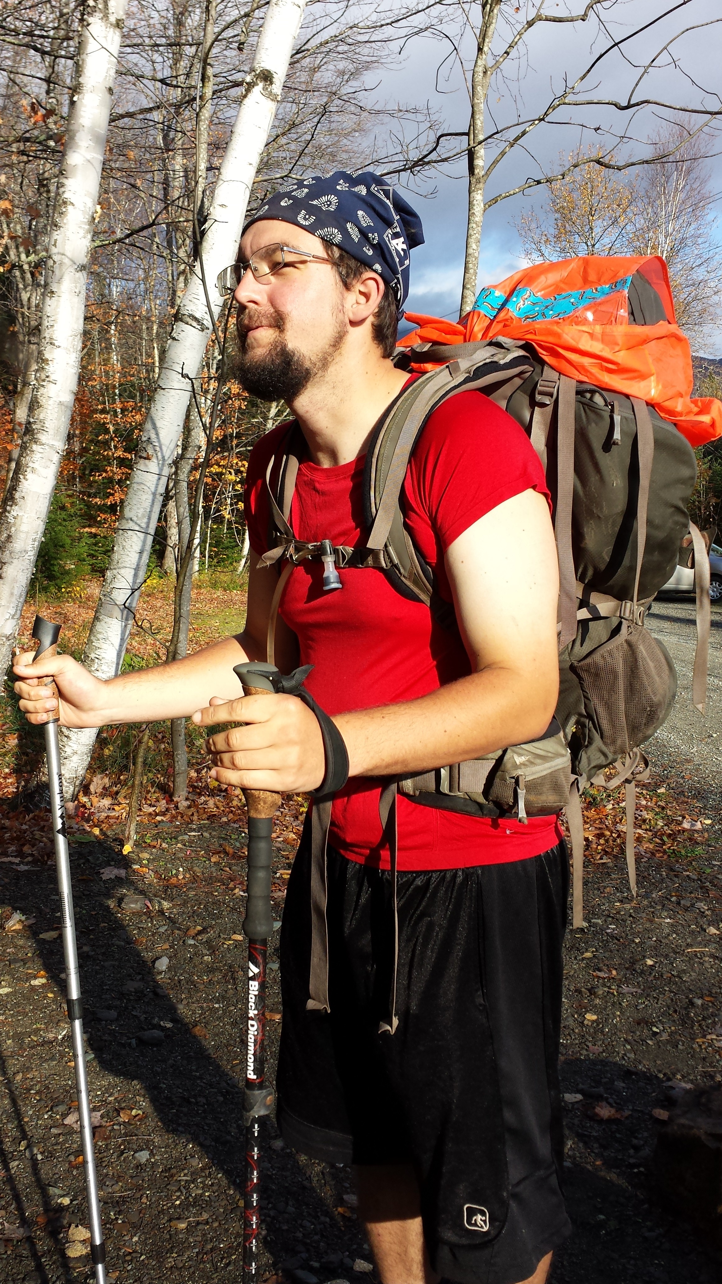
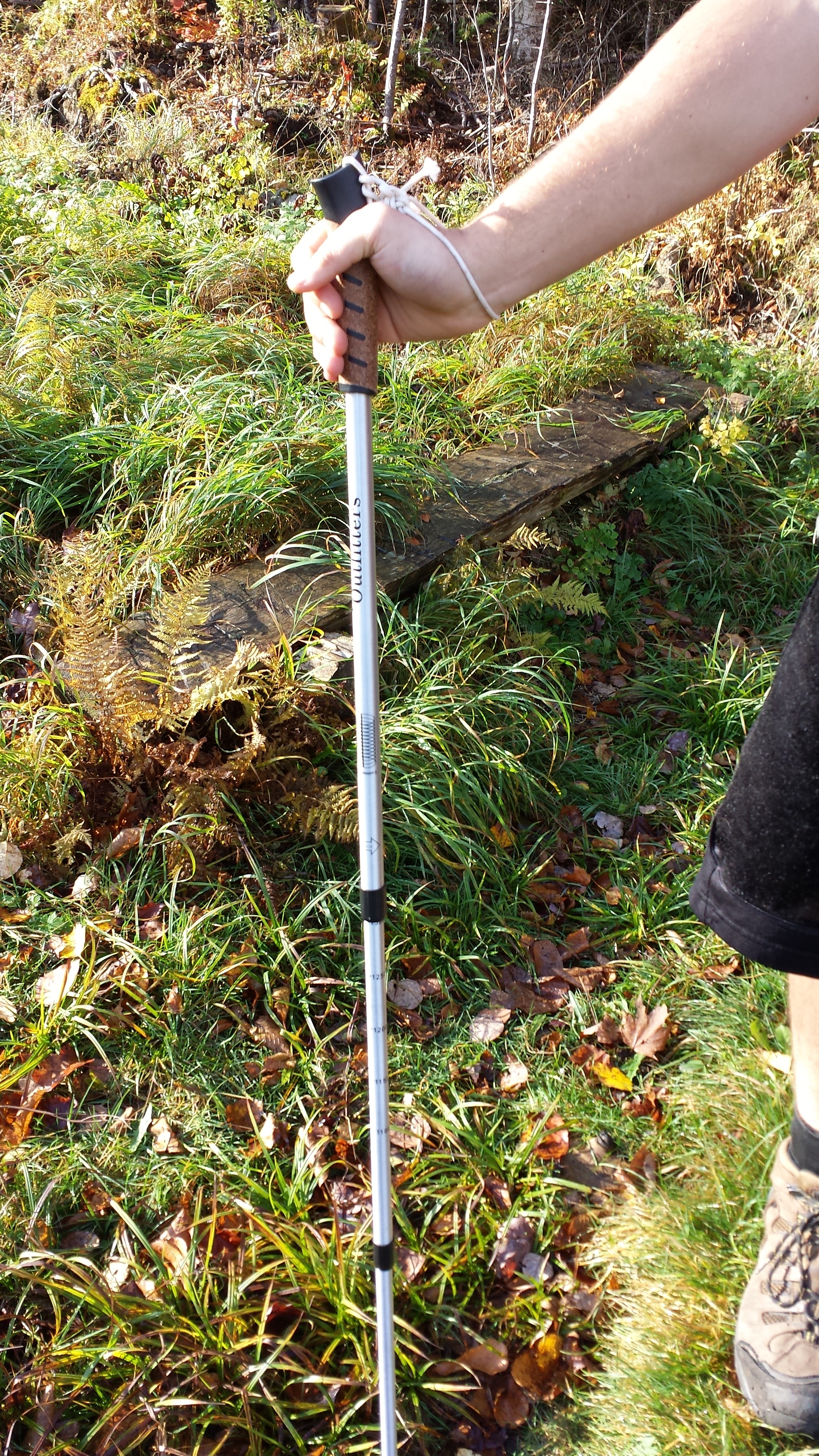
After walking trippingly through the woods for a few minutes, suddenly I could see the lights of something like a small town directly in front of me, as if I’d reached the edge of the world. It was the moment I was looking forward to since I’d left the lean-to. The trail turned and headed straight down the hill out of the Bigelows. I descended 2000 feet in the next two and a half miles, moving pretty quick, before the trail levelled out. Somewhere in there I broke the other crappy aluminum ski pole. If I recall correctly, I didn’t fall on it or anything, it just kind of fell apart at a weak spot from repeated mild shear stress, and I came away holding only the handle while the rest stuck in the dirt. It was bound to happen, but it always seems to happen when I’m on my way out of the woods, and I’m always thankful it waited so long. (Actually, it always happens when I’m descending steep hills, which is frequently the last thing the trail does before crossing a major road.) I bent and twisted the broken shaft until it was in a handful of pieces just short enough to fit in my slackpack, stowed it, and kept walking. (Hiking gear buying advice: it should not be possible to manually dismantle a quality trekking pole like it was so much kindling.)
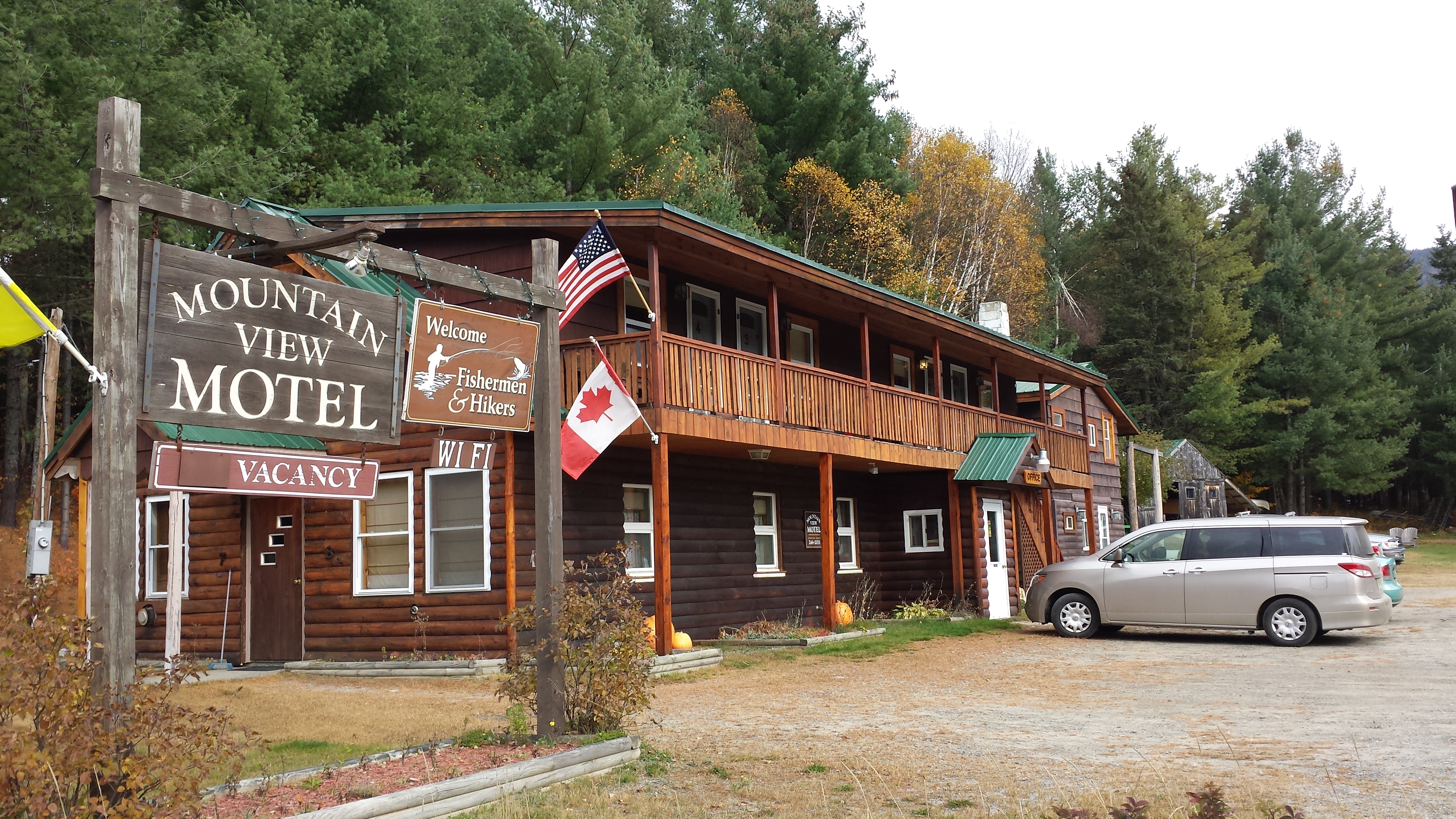
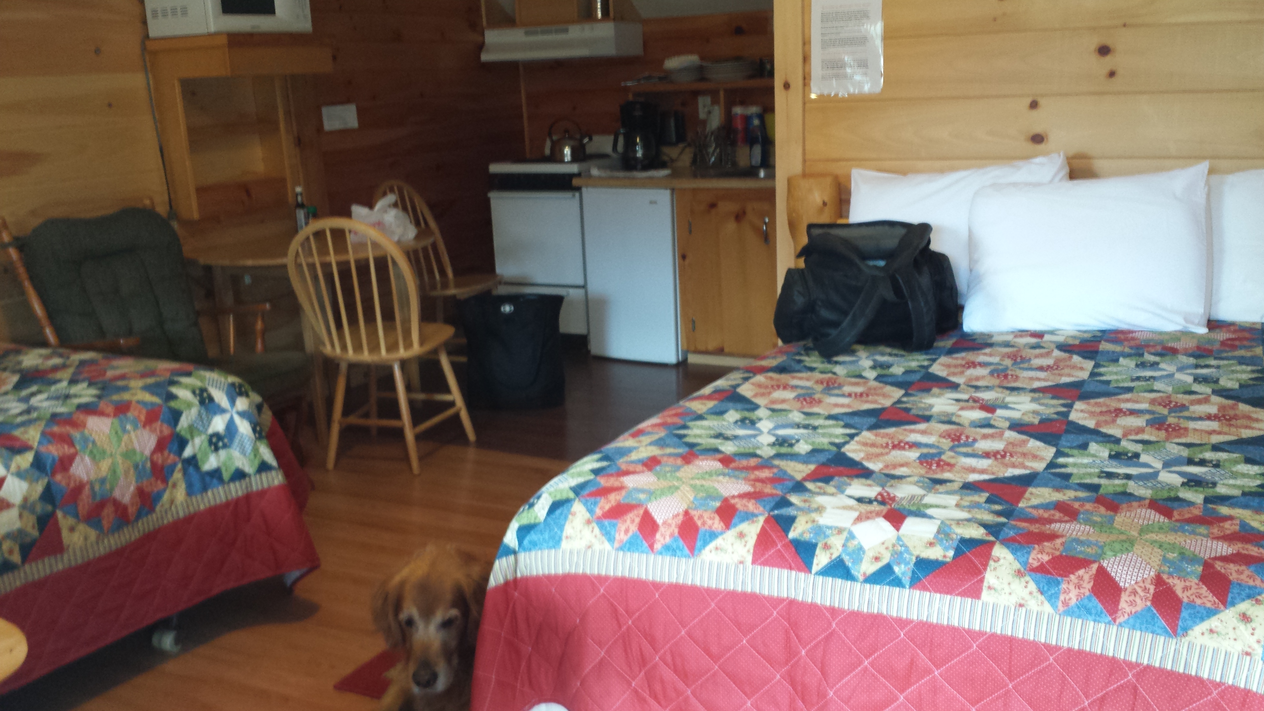
A mile later, I reached the northernmost “proper” footbridge in Maine, a sturdy thing built of timber and steel, but it was too dark to appreciate it and I was far more interested in some dinner and a shower. I arrived at ME 27 right on time for my revised deadline (10:45pm, 3 hours past my original estimate), jumped a guardrail, and crossed the road where it came around a curve. The pullout for hiker parking was separated from the road by a briar-covered slope, and I climbed straight up it without my headlamp on, hoping to catch my parents by surprise. They were waiting, and never saw me come up out of the shadows until I was right outside the car window. Using the overhead lights of the car for illumination, I went through the changing ritual on the side of the road and rode into Stratton to the Mountain View Motel. Copper, of course, had spent a large portion of his day here in this motel, which was quite a popular place among hunters, and looked to be hand-built by the owners. It had only eight rooms, and they were fully outfitted, but were very thrifty about space. My parents had dropped their things here and then driven to visit the University of Maine in Farmington and a Wal-Mart to buy more groceries, and to shop for a replacement mp3 player. I don’t know whether Copper tagged along in the car, or waited in the motel room, though I imagine he’d enjoy the latter somewhat more.
That funny looking vehicle is our rental. Not the best for terrain, but the most space for the price.
Sometime during the evening, one of the moose hunters drove in with a fresh kill. I wonder if Copper got to see it for himself. I’m sure he would have found it vaguely interesting in the “That’s a very large steak for one person, and I’m perfectly willing to help you with it” sort of way.
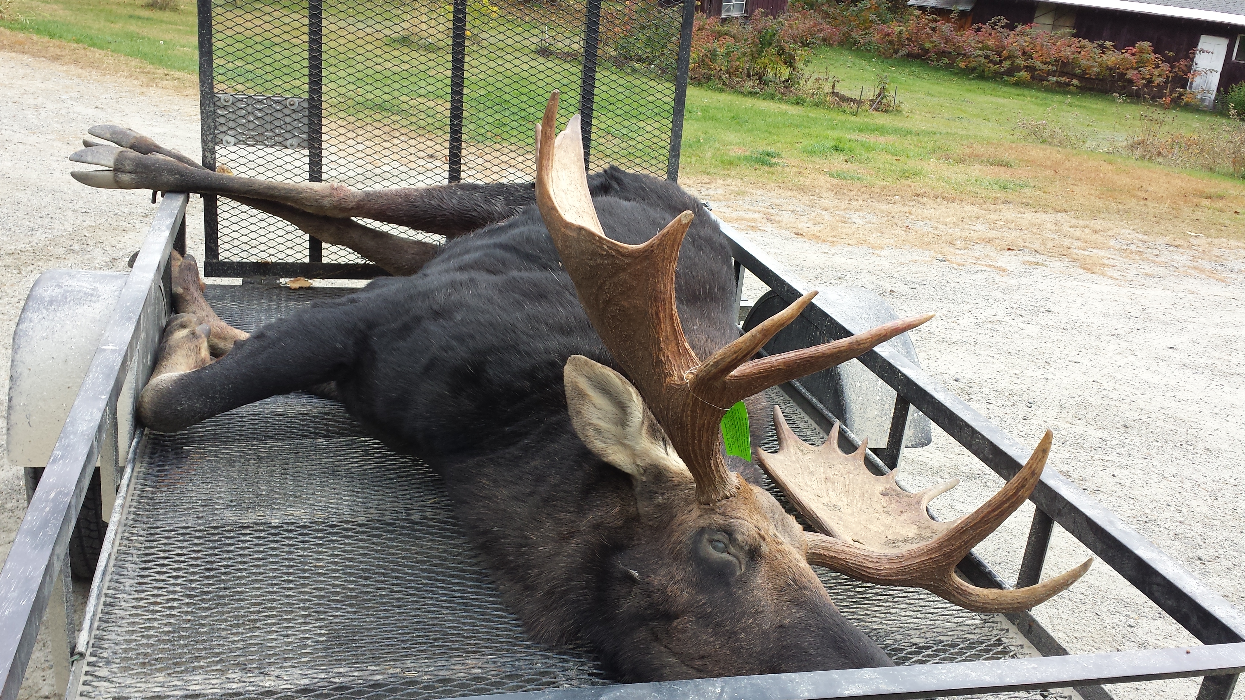
This bull should have known better than to walk in the woods without an orange vest during hunting season.
When I stumbled sleepily upstairs to our tiny room in the dark, there were tacos and salad Mama had made waiting in the fridge. I ate, showered, and went straight to bed. Not because I had an early start planned and wanted to get a good night’s sleep, which was a futile cause given that it was near midnight, but merely because I couldn’t keep myself awake any longer.
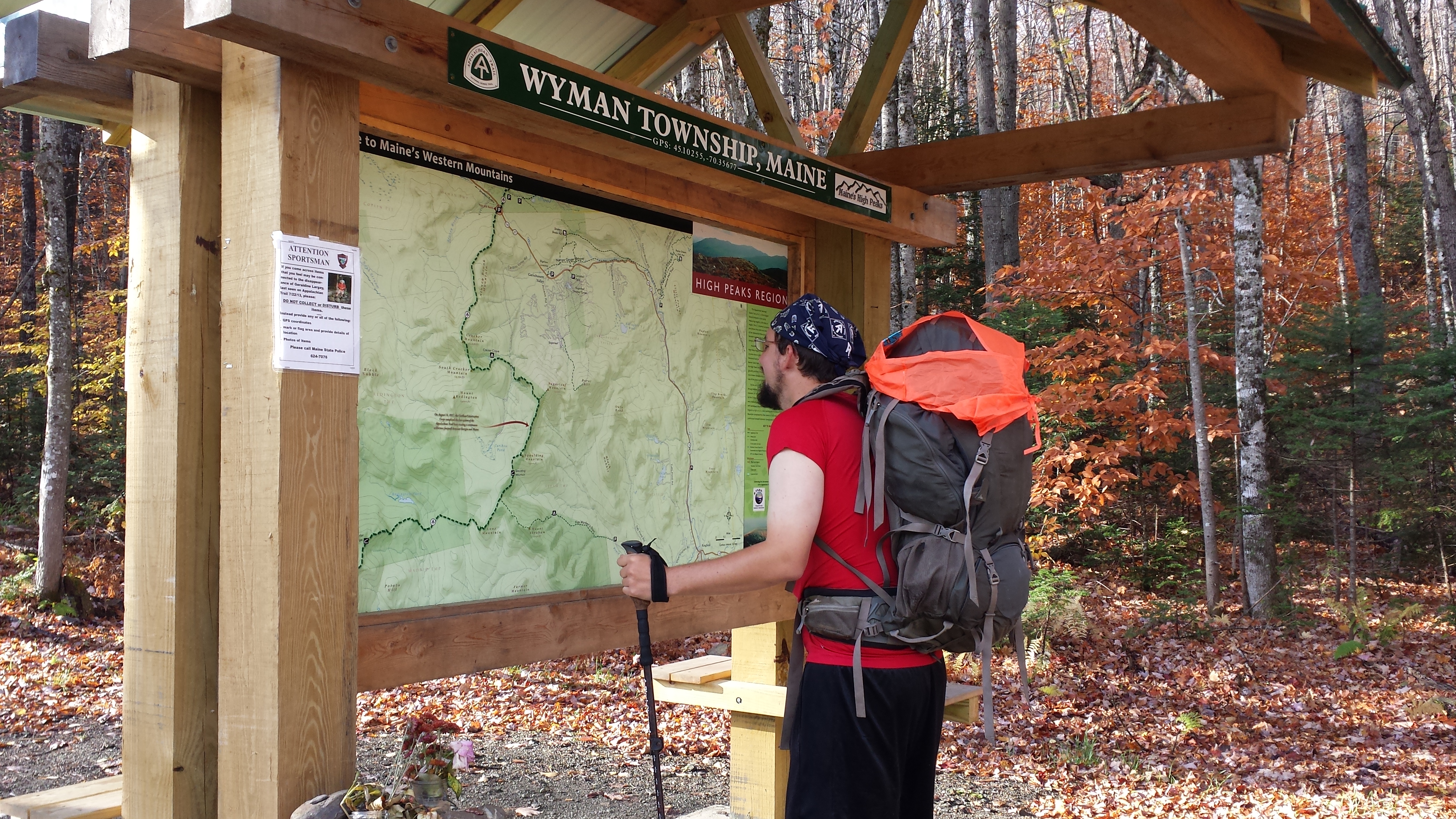
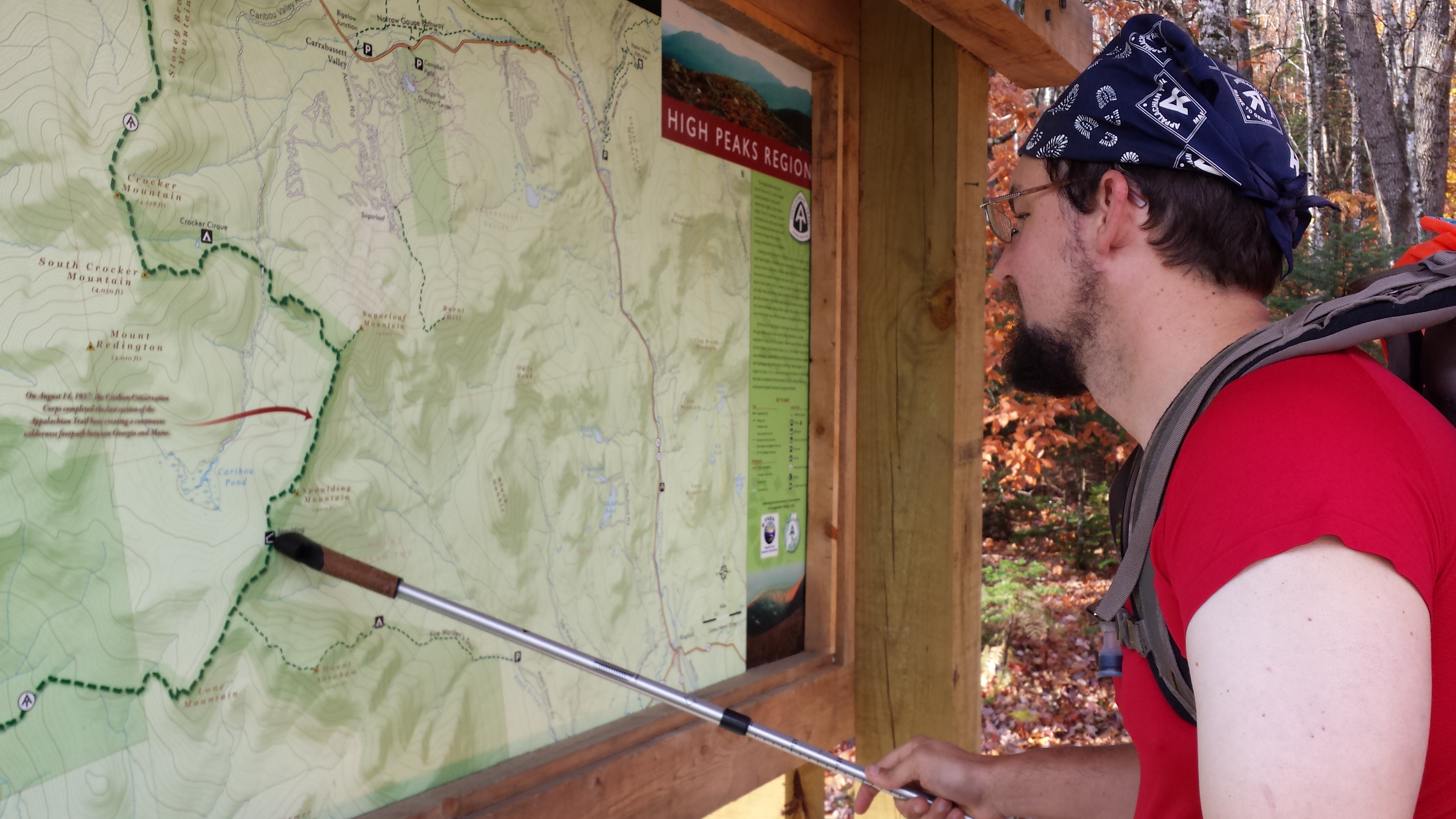
My mom started breakfast at 6:30am the next morning, and I got out of bed probably ten minutes later. There was no particular hurry. The trailhead parking lot was 13 minutes down the paved road, and it was one of the overnight sections, since the only logging road which crossed the road in the next 30 miles was abandoned and utterly inaccessible for miles before the A.T. crossing, so there was no schedule for the day besides “eventually reach a shelter”. I could take breakfast at leisure before we left. (Haha, if you dont’ recognize that as a joke, you should watch a thru-hiker—any thru-hiker—eat.) I could consider the disadvantages of the mp3 players Wal-mart had for sale on the drive down. (Having been shown the various options, I rejected them all as not suitable for my needs—and therefore not worth the money spent on them—and decided to continue to trade sanity for speed, trying to outrace my mind by walking faster.) And I could take a few minutes to make sure I had everything I needed in my backpack for a couple of nights in the woods before hitting the trail. And I could even pose for a photo as if I were extraordinarily interested in the trail map bulletin board at the trailhead.
More importantly, I could attach string to Mama’s fancy German trekking pole to serve as a wristband, and put on her slightly-too-small red shirt on account of its irridescence and the tendency of the orange vest to become easily tattered. (I tied around the pack instead.)
I finally got into the woods around 9:30, and immediately started climbing. I was headed up into some of the most interesting terrain north of the Mahoosucs: the Crockers and Sugarloaf-Spaulding-Abraham Range. (Yes, it’s a bit unwieldy to name a range by listing all the mountains in it, but that’s honestly what it’s called!) North Crocker, at 4228 feet above sea level is actually the second highest peak on the A.T. in Maine. And that’s the one I was going to have to climb first. Thankfully, the 3000-foot climb is spread out over five miles. I don’t remember it posing any difficulty whatsoever, and I surmounted it around noon. Of course it was above treeline, but I don’t much recall being astounded by the view. I was starting to get a bit of panoramic satiation with respect to sunny days above treeline. What did interest me was the little pond below around which I seemed to be walking as crossed the col between North and South Crocker.

The view from South Crocker, or thereabouts. You can see the ski trails on the side of Mt. Sugarloaf, which is privately owned for precisely that purpose.

The (sheer vertical rock staircase) descent from South Crocker wound me down and around toward that pond. As soon as I hit level ground, I hit the side trail to Crocker Cirque Campsite. I desperately needed to use the privy, and it was lunchtime, so I set out through a rock tunnel, climbed over a rock jumble and jumped some routes, and continued to follow this “trail” until a quarter mile later it arrived in something that did look like a very nicely situated campsite. I dropped my pack on a tent platform and headed straight for the privy.
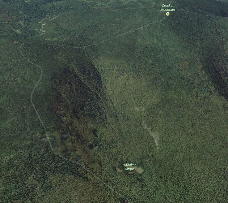
The section of trail crossing the Crockers, with the Crocker Cirque (pond). Via Google Maps
With that out of the way, I headed back to the tent platform where my stuff was and made some lunch. But my attention kept being drawn back to something I’d seen from the privy (on which I’d seen no reason to close the door—leaving it open provided better light and ventilation, and the campsite was otherwise deserted anyway). It was a brightly-colored object made of nylon hanging from a string in the crotch of a leafless tree. Someone had just left it there, presumably having hung it and then gotten it stuck. I knew I could get it down if I tried. Cleaning up a campsite is the hikerly thing to do.
It wasn’t easy though. Even though I could get a hold on the other end of the string by climbing up on an adjacent rock, pulling that end just served to further wedge the string into the crack, so there was too much friction to reel it in. I picked up a small rock, wrapped the string around it a number of times and tossed it through the crotch. Or rather, I tossed the rock through and the string came loose. So I found another rock, tied it again, balanced precariously on the rock, and lobbed it through, all while precariously balanced on the edge of a precarious boulder. Finally, I got both ends of the string on the same side of the tree, and a yank dislodged it from the crack. A little more finesse and the little bag slipped over the branch it was hung over and fell to the ground. That’s all it was. A tiny nylon rock bag, and all that was in it was a rock. But hey, it was in perfectly good condition, and so was the cord it was tied to. I stuffed both into my backpack, shouldered it, and worked my way back to the trail.
I headed another mile down the side of Crocker Mountain until I spilled out onto a poorly maintained gravel logging road through the Caribou Valley. Signs and some information in the Guide indicated that it was possible to get out of the woods here in a desperate situation by walking a couple of miles to the nearest residence and calling for a ride from there, but for the most part, it was still the middle of nowhere. Which is why I was surprised that just a few yards later, sitting in an inch of water near the shore of the South Carrabaset, I found a marvelous bit of magic: a six pack of beer. Foster’s I think it was. Or PBR. Who cares? Cheap beer may not be worth the price you pay for it, but free beer always is. There was no note attached to it, but there was no one around anywhere either, so I snagged one and dropped it in the side pocket of my pack before rock-hopping across the stream.
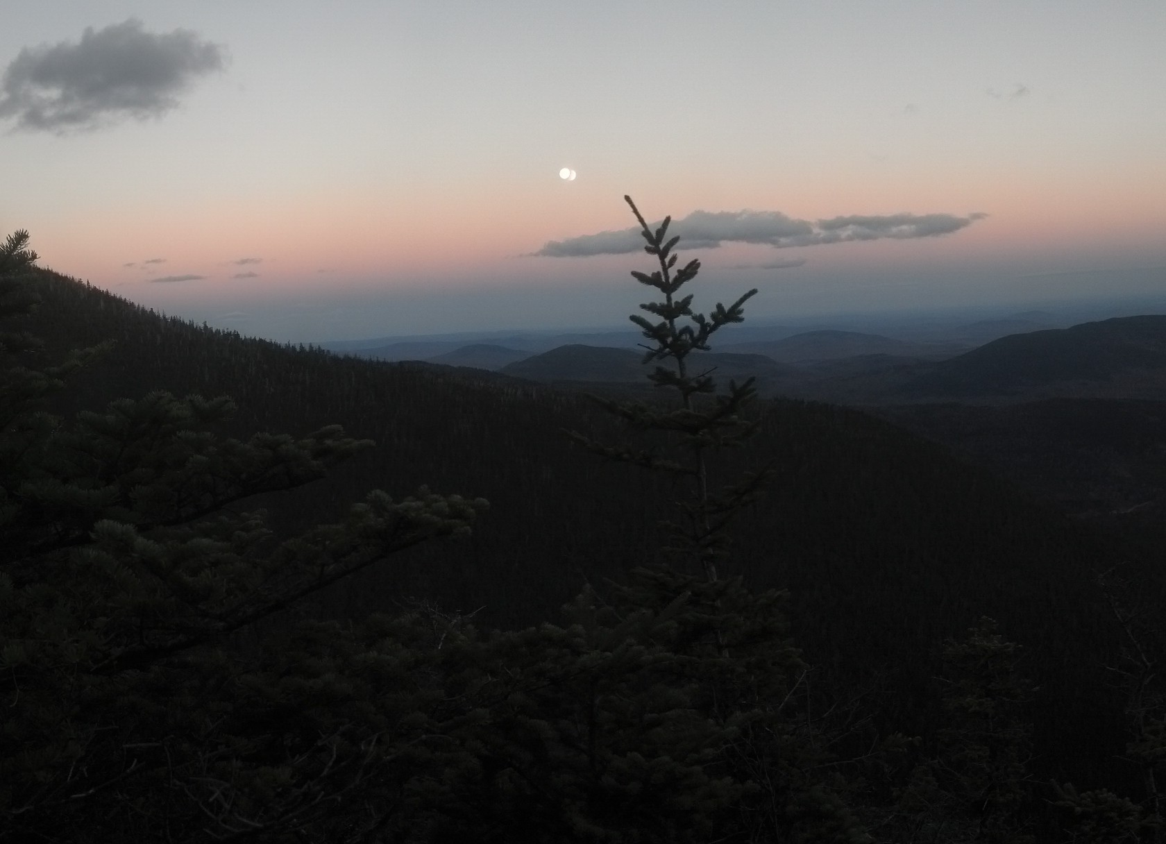
On the other side was a pretty serious exposed climb straight up the side of Sugarloaf. It was late in the afternoon and I felt like I was racing the sunshine up the side of the hill. And I won, somehow. I know it was still sunny when I reached the gravel-covered scramble that finally spat me out on level ground a mile and 1500 feet later, because I was hot. Even though the weather was wonderful, I had no shade through the whole climb, and believe me, climbing trail that steep with a pack on is not the best way to cool off after a long day’s walk. But of course, the walk wasn’t over. That was the last of the hard climbing, but I still had four miles to go before I could sleep, over the back of Sugarloaf (missing the peak), up to the top of 4000-foot-tall Spaulding, then down again right into the waiting arms of the shelter. If a shelter had arms, that is. I reached the top of Spaulding around 6:15pm and came down to the shelter in the dark.

The full moon at sunset from just shy of the summit of Spaulding.
This one weirdly doubles the moon and is tilted at an odd angle, but does a better job of showing off the mountaintops stretching out to the horizon.
And this one washes out the sky in favor of making the valley and trees more visible.
For once, indeed, one of only about three times in the entire state of Maine, I was sharing the shelter with another hiker. Not a thru-hiker, though; he was out doing a short section in order to bag some peaks. He’d come north from Rangeley and had gotten done with Saddleback, The Horn, and Saddleback Junior that day, and was going to go off trail to grab Abraham in the morning, then finish up with peaks I’d already done. He made me wish I had time to head out to Abraham the next day, or indeed, that the sun were still out, since I still had a mile or so left in me. I felt like I was stopping early. I was stopping shy of halfway, and was leaving a 17 mile section for the following day, but I wasn’t exactly upset about drinking a beer with supper that night. The other guy was certainly a bit jealous, I think. I told him where I’d found it in case he wanted to grab one the next day, but I don’t think his route would be taking him near it. And only a thru-hiker would go out of his way for magic.
We both woke up at dawn the next morning, and didn’t take a lot of time getting ready to go, either of us. He left only a few minutes before me, and we went out the same way, but I didn’t catch up with him in the first mile, and he was already well down the Mt. Abraham Trail. I sighed and kept walking. I’d have loved to see the firetower, but a 3 mile detour was out of the question when I was already facing an 17 mile day.
I kept walking out to Lone Mountain, which soon turned into yet another sheer climb down a rock-face-covered hill. A thousand feet down and a mile later, the trail leveled out a bit onto the Perham Logging Road, then continued down into the Orbeton Valley at a slightly shallower angle, following the Sluice Brook. Near the bottom, Sluice Brook tumbled down a cliff reminiscent of Panther Creek Falls in North Georgia to flow into the Orbeton Stream.
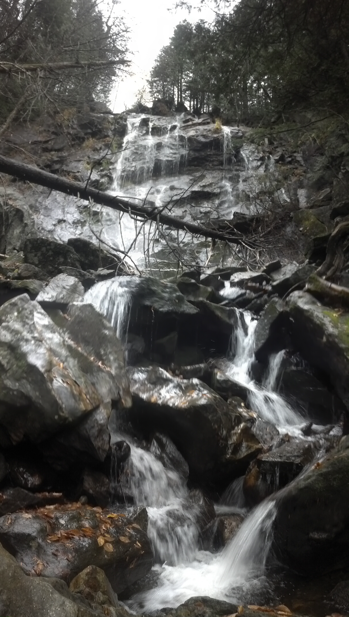
The Orbeton Stream occasionally fills up enough that it’s labeled as a (ford) on the maps, but that day, it wasn’t bad, and I crossed it by boulder-hopping just upstream from the trail. On the other side, there was a quick uphill, but I turned off trail for a bit here, trying to get away from several waterfalls, and streams which littered the hillside here, having to muck through ankle-deep moss and climb over trees before I could find an environmentally-friendly place to dig a hole. Annoying, but it was a good time to take a break anyway.
After a little bit of elevation indecision and searching for a good route, the trail finally picked a spot it thought would be a good place to climb up Poplar Ridge, which was an even more difficult climb than Sugarloaf near the end, on an even warmer day, but I didn’t get tired because I stopped several times to admire the view over the valley. They’re always magnificent on steep climbs like that.
Two minutes later, I rolled up into the shade of the Poplar Ridge Lean-To and unloaded. It was quite a nice spot, but it has another claim to fame now: It was the last shelter in which anyone saw “Inchworm”. Her name was still there in the shelter log when I went. David B. Field, who built the shelter, had an up-to-date FAQ guide in the shelter as well, which included quite a number of pictures of the way the area looked 50 years ago, the old shelter he replaced on the spot, the building of the current one in the early ’60s, the surrounding mountains. A longtime member of the MATC, having served as an officer in that organization, as well as on the ATC’s board, Field plotted much of the current route of the A.T. through Maine. He’s responsible for the reroute around Monson, and the sheer climb over Moody Mountain (which I haven’t yet discussed in this blog), the steepest mile of the entire trail. he’s also written the most comprehensive book about the Maine section’s history.
The FAQ said “Please leave this in the lean-to; I’m tired of replacing it,” which just meant I had to spend a very long lunch break reading the whole thing. I was there at least an hour. “It’ll be fine,” I said to that part of me that kept nagging me to get going, “there’s only 10 more miles to go!” Actually, I was probably there two hours. It was into the four o’ clock hour when I had packed up and started hiking up Saddleback Junior. It was a reasonably steep climb, like all of Southern Maine, and it had the views I’d come to expect. To be clear: Junior is only 500 feet shorter than Saddleback. Both are above treeline. Just before 5pm, I found this view:
Look at those clouds!
The trail rolled over the top of Saddleback Junior, then dived steeply into the valley, in typical Maine natural-rock-staircase fashion. At the bottom, it leveled out for a moment to meet the trailhead for the Redington Campsite. Right near that turn-off, I stepped over some oddly-placed stones, and had to turn around to get a good look.
Almost what? My guess is “almost 2000 miles”, since this was right around the 1,975 mile marker from Springer. I couldn’t drop off the trail and go back below treeline to check out the campsite though. The sun was abandoning me and I still had 8 more miles to go. It was straight up again for me, some hands-on hiking up The Horn. I arrived at the top 20 minutes later and didn’t stop. I dropped down into the exposed col between The Horn and Saddleback, landing directly in Saddleback’s shadow. The whole col was visible from anywhere in it, and the shadow of Saddleback was visible on Saddleback Junior below me and beyond. There was no sound but the wind and no one else around for miles. You might recall I got a bit philosophical on my climb up Saddleback. Probably something to do with the solitude, the physical exertion, and the lack of an audiobook to keep me grounded.

The trail follows the exposed ridgeline between the summit of The Horn and the summit of Saddleback, and the several preceding photos were taken along this section. Via Google Maps
I checked my clock when I took my summit photo. It was just before 6pm and I had four miles to go. My average hiking rate for the day was 1.3 mph, which meant it’d be 9pm before I’d arrive if I could even maintain that. Unfortunately, my knees whispered to me, it would be all downhill from there.
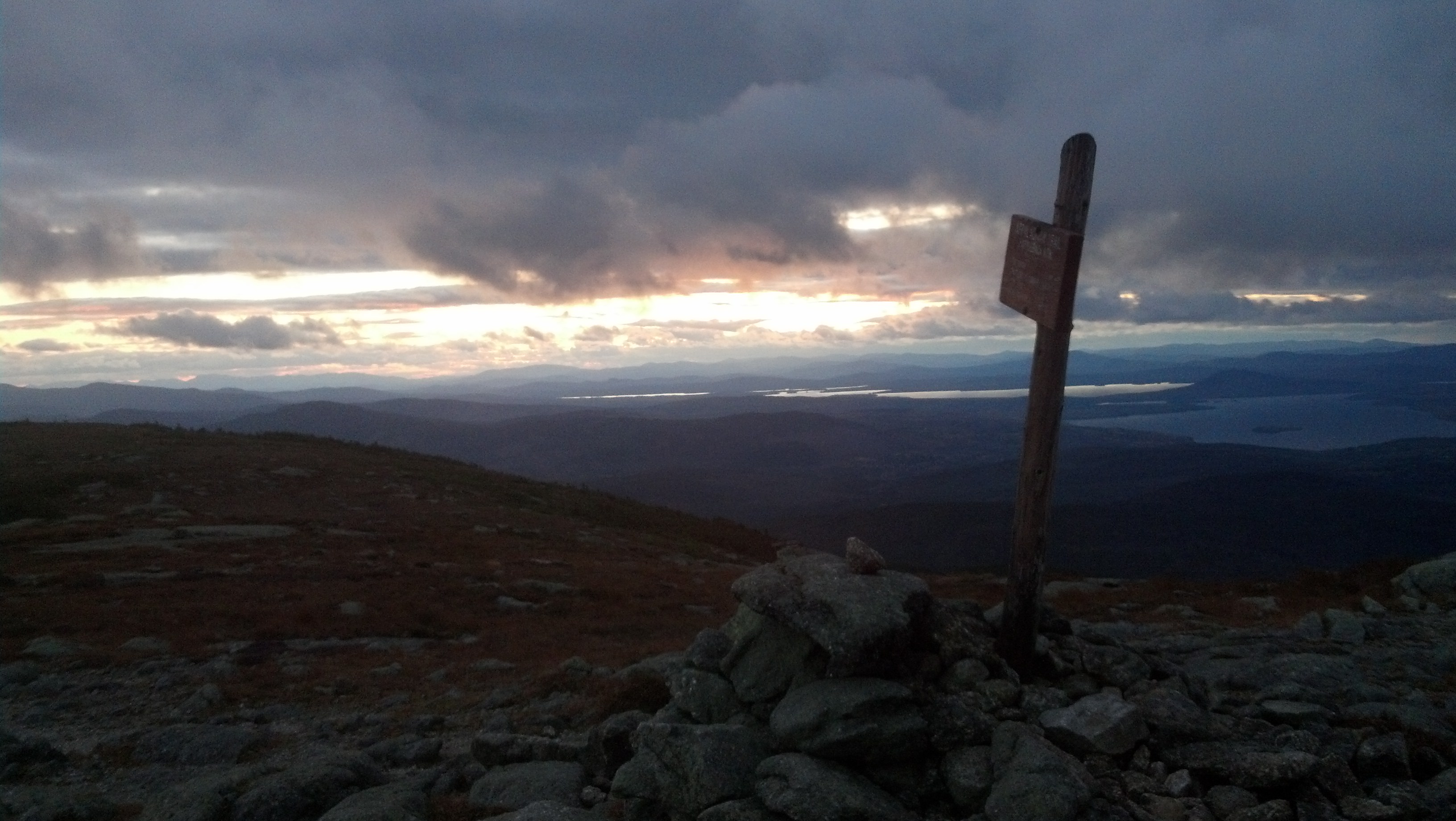
Saddleback Summit
It was, again, quite cold way up above treeline, though not quite as windy as Bigelow. Either way, it was good to be heading back below treeline, even if it meant I was once again plunging downhill in darkness relying on my headlamp to find the trail. It didn’t take much of the relentless descent to make me desperate to reach the shelter. I was sleepy and tired and still had no music or story to distract me from the fact. In the daytime, I might have paused beside Ethel Pond to take it in, but in the dark, unable to see it to appreciate it, after a solid 12 hours of doing nothing but climbing straight up and down with a pack, I saw it only as a signal that I was finally within a mile of the Piazza Rock Lean-To.
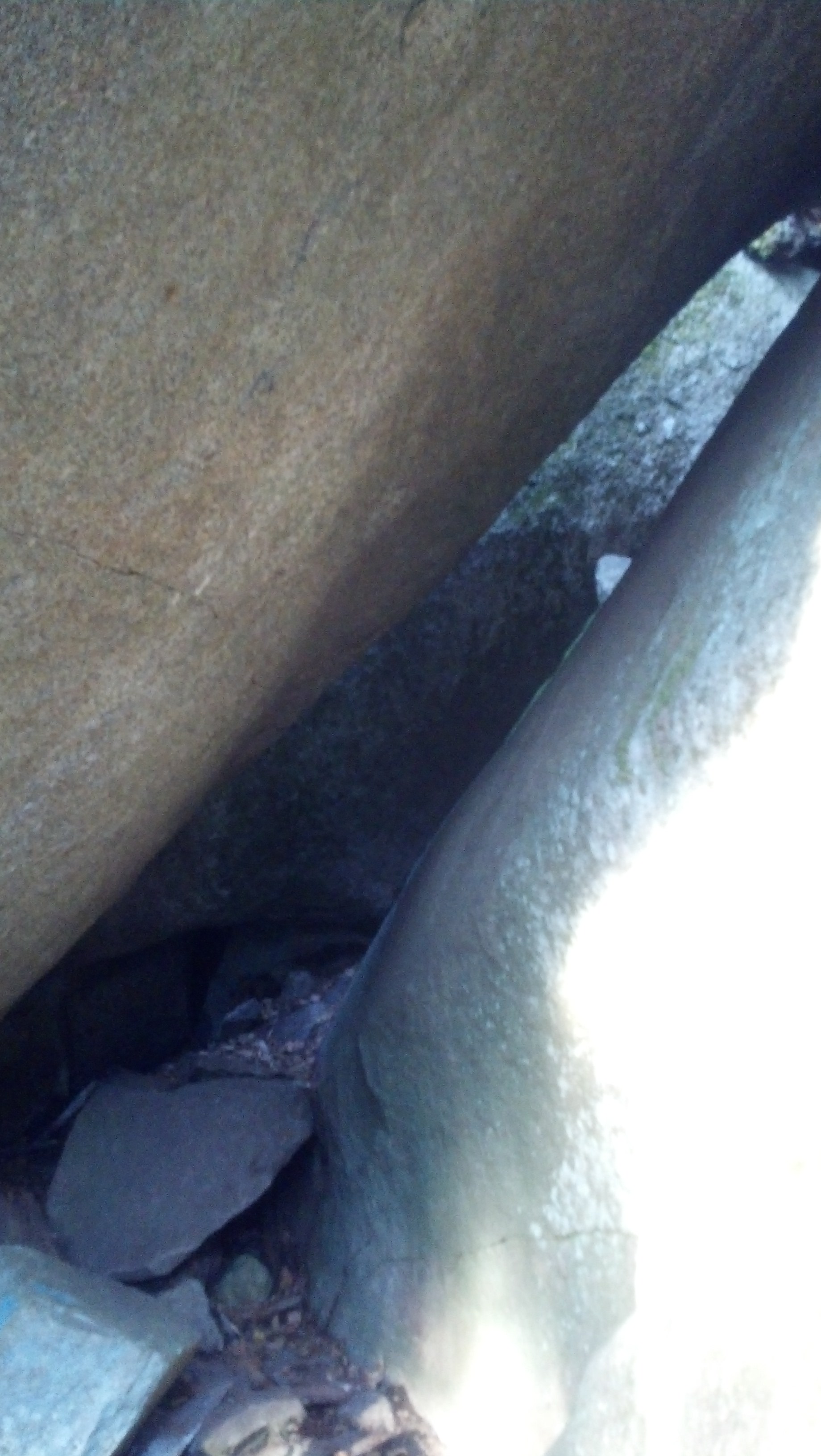
I was absolutely delighted when I came to a stream with rock stepping stones placed across it and a sign pointing to the right saying “Piazza Rock”. I went that way, and within moments I was headed straight uphill. I came upon a pile of towering rocks, and the blazes and arrows pointed under one of them. I had to duck and lean to walk under it. Then another arrow at the far side pointed up and to the right along a straight rock slab. I looked up and said to myself “Whose idea was it to put a shelter at the top of a hardscrabble belly crawl?” I managed to slide myself up it enough to find a handhold and haul myself over the top. Around and up over another lip, I reached small flat area nestled into the side of an 80° slope. I couldn’t see any way forward. The rock (presumably Piazza Rock) was behind me, and it had no shelter on it. To the left the walkable surface suddenly disappeared into the steep hillside. To the left, it was severed by a waterfall, presumably the source of the stream I’d crossed at the bottom of the hill.
Frustrated, I climbed back down and wandered around the base of the rock, dropped my pack and climbed up again to see if I missed something. Being up so late was getting to my judgment, and I had no idea what to do: there were no side trails branching off anywhere around the site. Eventually, I decided I must be in the wrong place entirely. I came down the rock slab (far trickier going down than up even), duck-walked through the tunnel, wandered around the slope in front of it trying to find the start of the trail I’d come up. It was surprisingly hard to find, as there were several apparent trails, most of which ended abruptly a few feet down the hill. Eventually, I got on a trail that started looking like where I’d been before and got back down to the A.T.
Back at the stream crossing, after considerable searching around the sign I’d already seen, I spotted another sign on another tree on the opposite side of the trail I’d found the first, on the opposite side of the stream. I should never even have crossed it. The Lean-To was a hundred feet down a mostly level trail. I was as happy to see it as I was pissed for having spent a half-hour searching for it in the middle of the night. I put some water on to boil, then made my bed and dressed for it while it heated, right there on the sleeping platform. Finally fed, I jumped in the sack and fell asleep before the Thermarest could deform to accommodate my body.
I still managed to wake up by dawn the next morning, as I had a deadline for once, and I wanted to have enough extra time to head back up to Piazza Rock and get pictures of the beast that had robbed me of a half-hour’s sleep. Also, it seemed like it would be a neat place in the light of day. But first, I had a famous privy to visit. Piazza Rock has one of those unique two-seater privies that the MATC likes to occasionally place, and this one has a kind of built-in gag. The sign outside reads “Your Move”, and this is what’s on the inside:
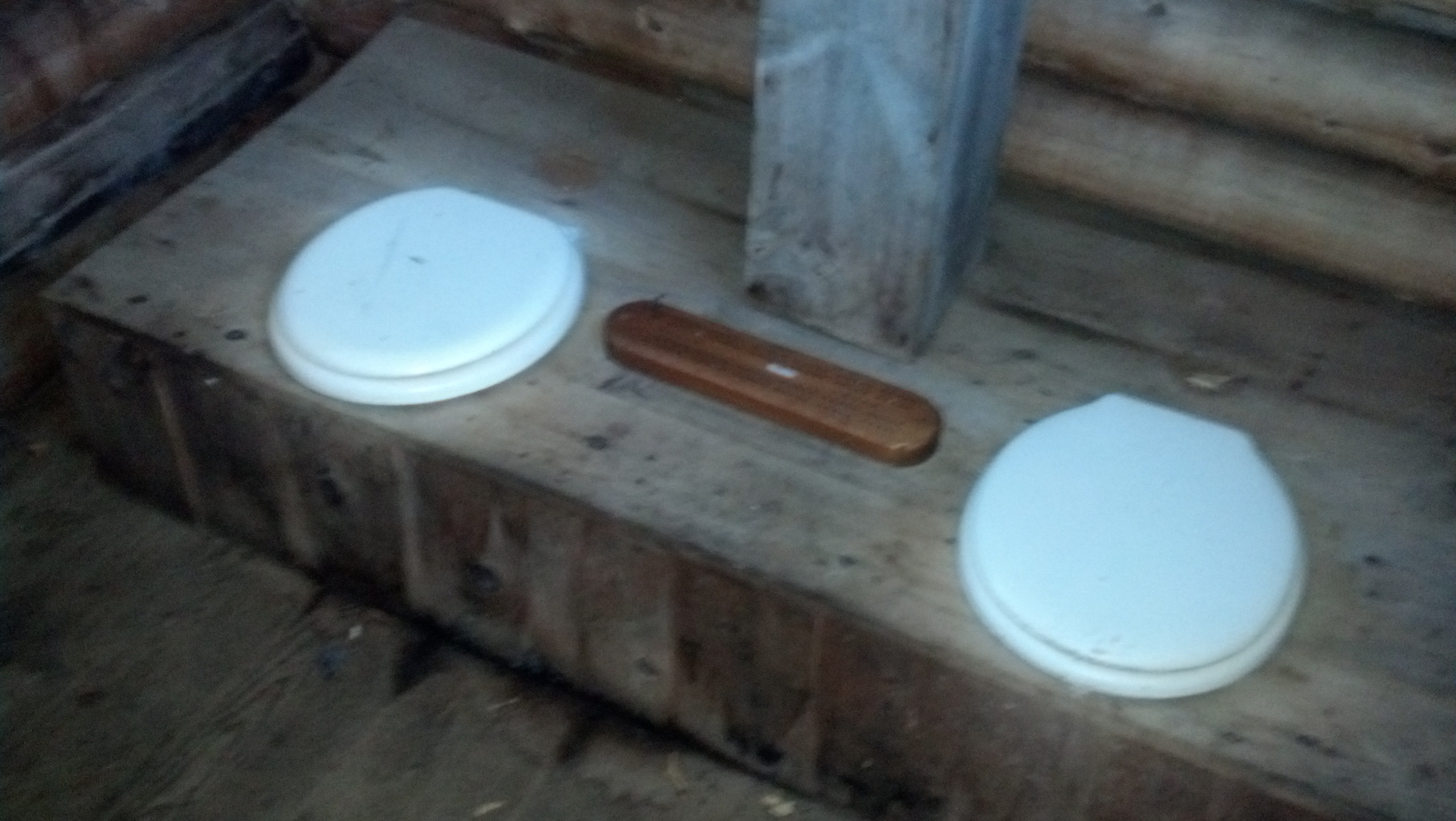
Yes that’s a cribbage board between the seats. I doubt anyone would actually opt to spend time socializing with another person inside an outhouse, but as a joke, you have to admit. . .anyway, I was going to look at a rock, right?
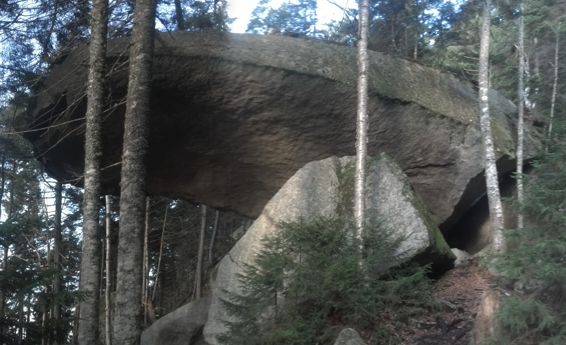
The lean-and-duck-and-slide tunnel. The rock face at the back provides a bare minimum of leverage to slide up the ledge to the right. Clearly intended for pack-wearing hikers to tackle late at night!
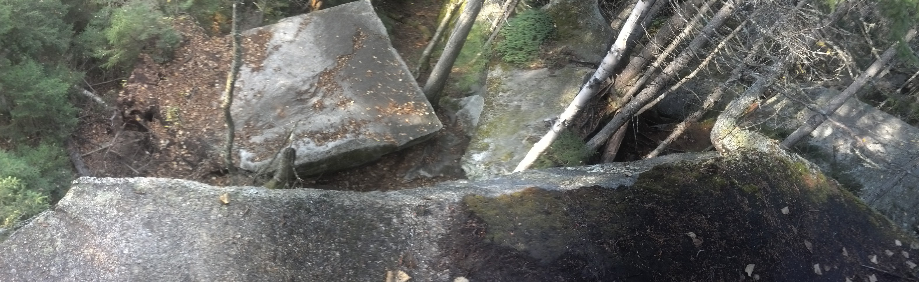
The view from on top of the rock.
I also had to leave a message for Chipmunk in the shelter log about the strange distant synchronized lights that floated in the space of darkness below as I came down Saddleback the previous night. I had no idea whether they were from an airport or a series of wind turbines, but they sure served to make the first part of the descent a bit more surreal.
Once I got going on the trail again, around 8am, I had about 2.5 miles to go to get to Maine 4 near Rangeley. I was there by 9am, which was my scheduled meeting time, and there were the parents, and there was the car, and there was Copper, probably not minding at all that he wasn’t hiking.
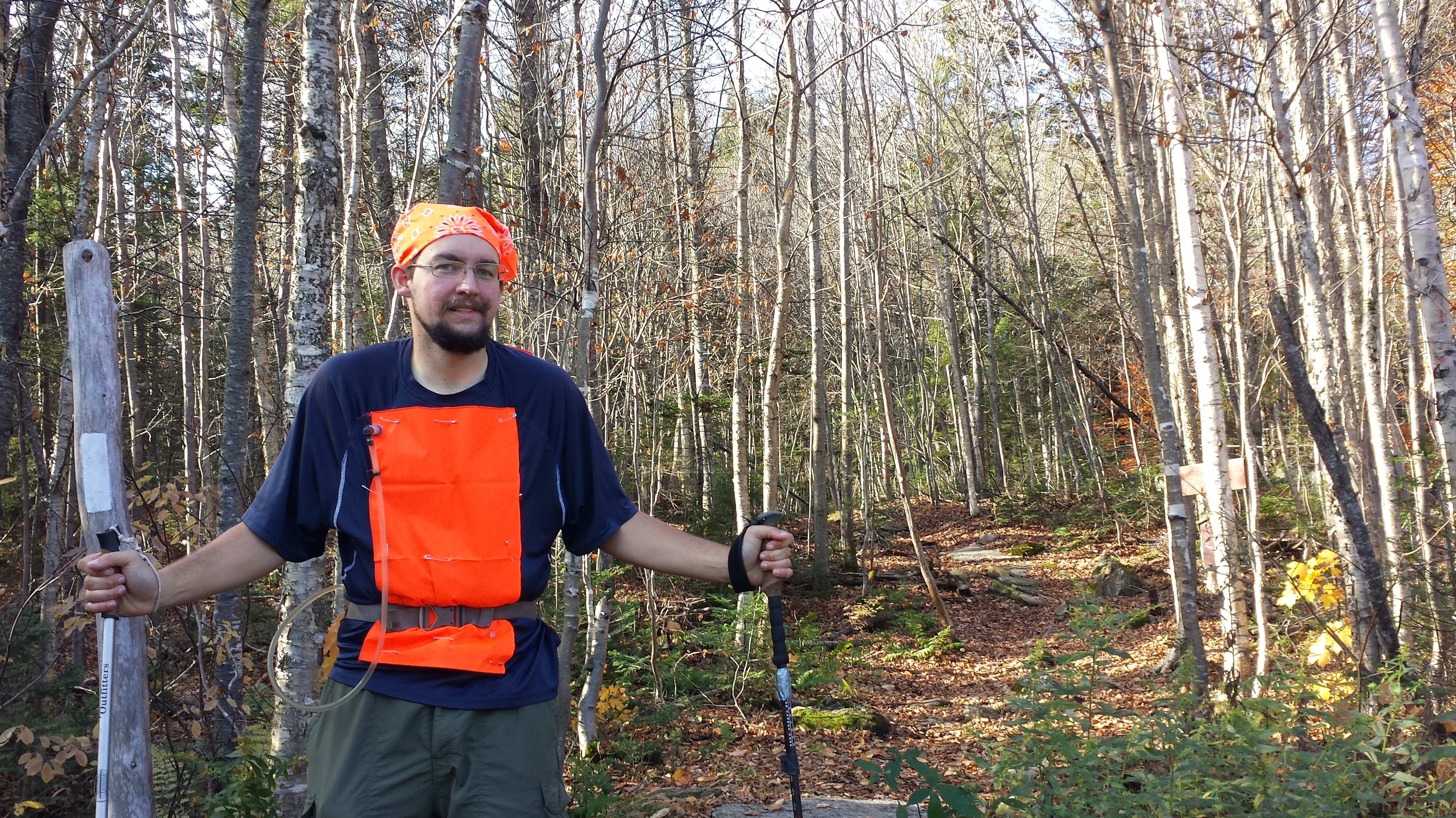
It wasn’t like getting picked up at night, though, knowing I’d get a ride back to a shower and a bed. It was bright and fresh and ready for a full day’s hike. It was still refreshing though. I could drop my pack off and switch it for my slackpack, since I’d definitely get a bed and a shower by that night. Also, Mama had packed me salami/pepperoni sandwiches for lunch (by my request—I was still on my pepperoni-and-cheese-on-flat-slices kick that had kept me going through the 100 Mile Wilderness and would carry me all the way back to Springer). It took 45 minutes to do the full changeover, including clothes. This time Mama came prepared for a more durable anti-hunter system: she found some bright orange fabric at the store the previous day, and we safety pinned strips of it to the front and back of my shirt. Which meant the ventilation holes in the back were utterly defeated. (Actually, I just noticed that I am wearing the exact shirt I wore that day right now, and there’s this little tear near my belly from the safety pin pulling it apart—I’m sure I was the height of fashion.) I also got a brand new bright orange bandana for my head. Not quite the quality and the weave of my AT bandana, but far more visible.


I was in too much of a hurry to get back on the trail to ask Copper how he’d been spending his time, but I later found out he’d been having as much or more fun than I was. Immediately upon dropping off two days before, my parents drove all the way around to Rangeley to get a cottage by the lake at Town and Lake Motel and Cottages. In addition to a wealth of beautiful scenery there were also other dogs there. There was beef stew and sunsets, lots and lots of walks around the lake, some chill time in front of the TV, strolling around Rangeley town. Somewhere in all this relaxing without worry, Mama washed my clothes and bid on a new mp3 player identical to my destroyed one on e-bay. (When I received it sometime much later, it turned out to have a broken firmware, which prevented it from being synced with a computer—I still have it if anyone wants a cheap lightweight pocket FM radio.) The days tended to end with sitting on the porch, listening to music while studying the reflection of the setting sun and drifting moon in the lake. In fact, that’s exactly what my parents were doing while I was shimmying up a rock slab searching for a shelter that wasn’t there after having walked 17 miles. You can see why I think Copper probably wasn’t very jealous at all.
A steak dinner by the lake
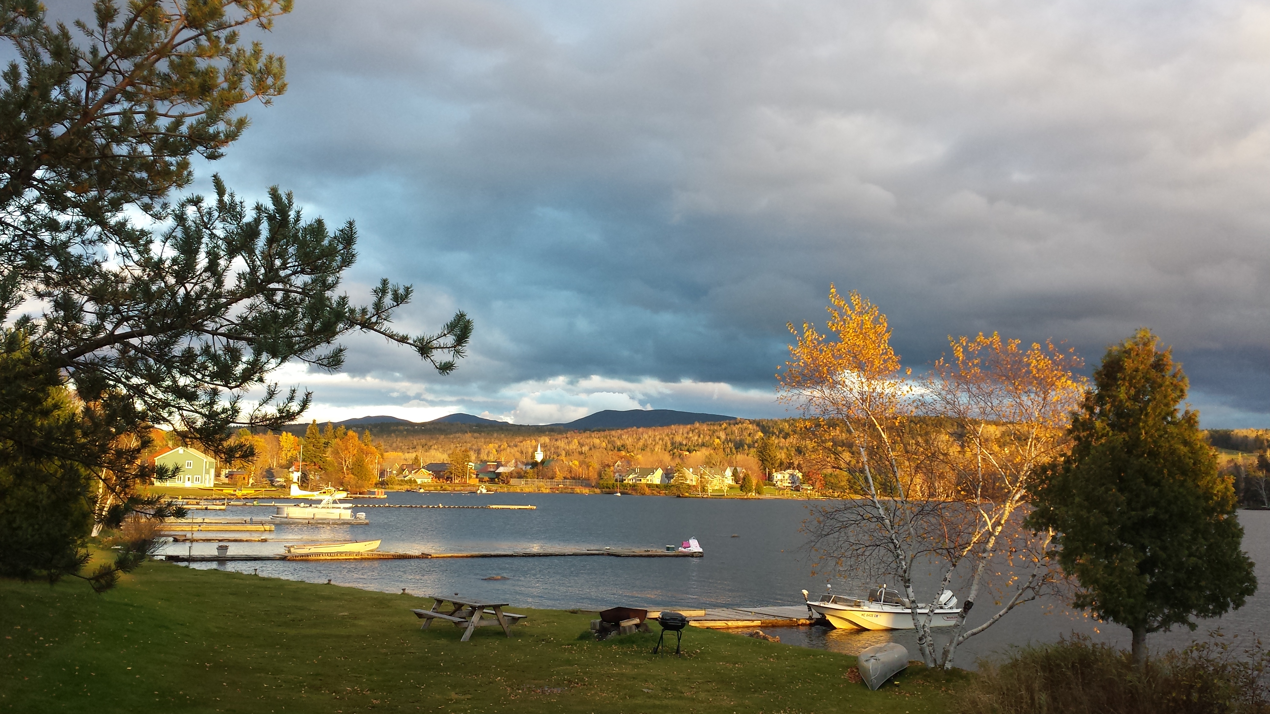
Sun on Rangeley Lake
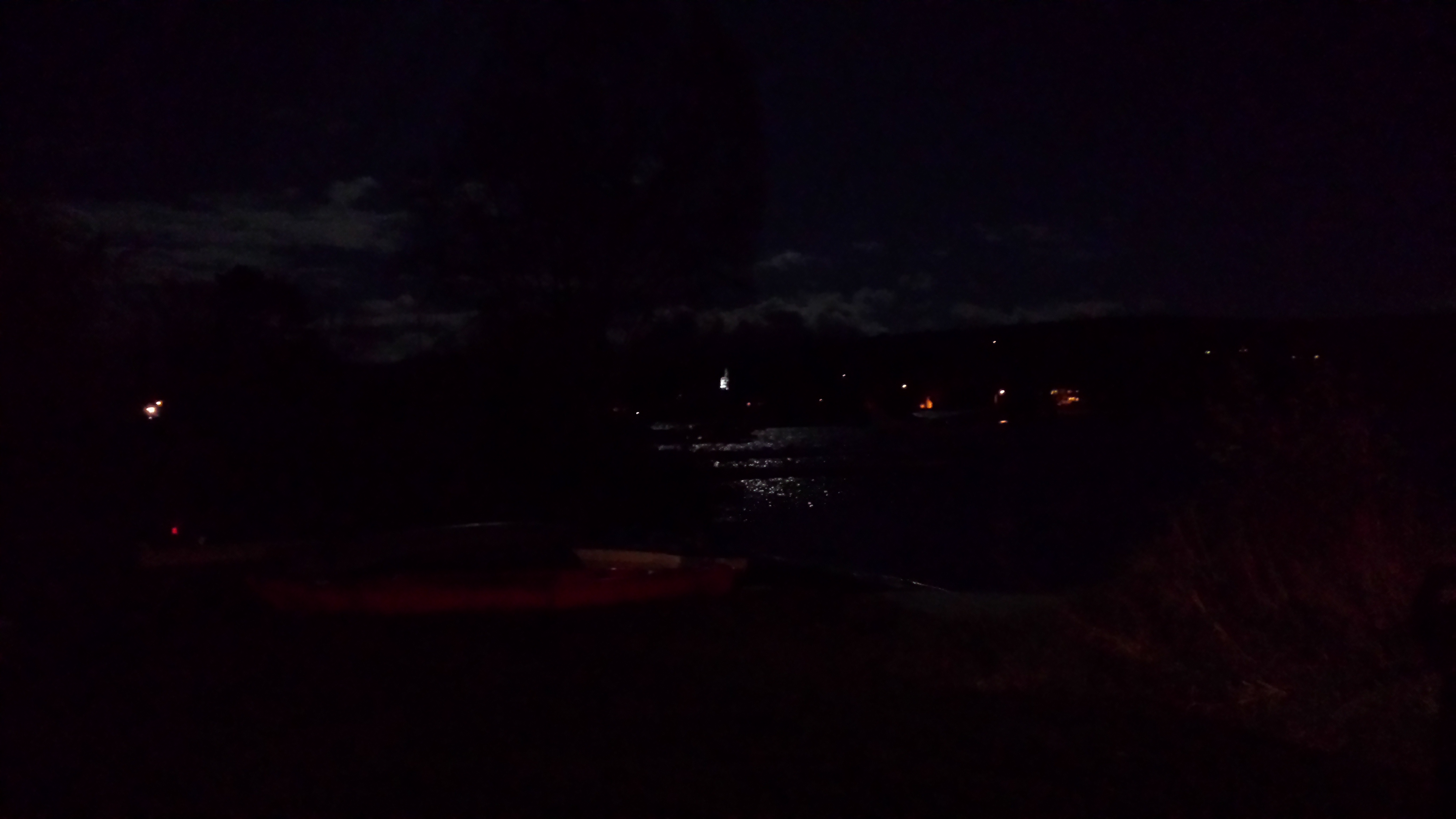
Rangeley Lake a noche
The most sedentary form of trail-running

Daddy is super-worried about me
But I wasn’t done with Maine yet. I had a bit over 4 more days of hiking to go. So stay tuned for Part 2 of my Southern Maine Slackpack Speed-Run coming very soon to an excessively wordy blog near you!
This post made me very nostalgic but very happy. Wish I could relive this just one more time. Such a special opportunity for me and a joy to watch you living your dream. You have some gorgeous photos in this post……amazing scenery! Can’t wait for part 2…….
Love the call-out to Rena — I understand. LOL